Hike /Schweiz Mobil
Alpine Panorama Trail
RorschachGenève
- Distance
- 510.0 km
- Duration
- –
- Ascent
- 17800 m
- Descent
- 17800 m
- Difficulty
- Easy
- Fitness
- Hard
- Route type
- One way
- Season
- April - October
01/ Overview
The route
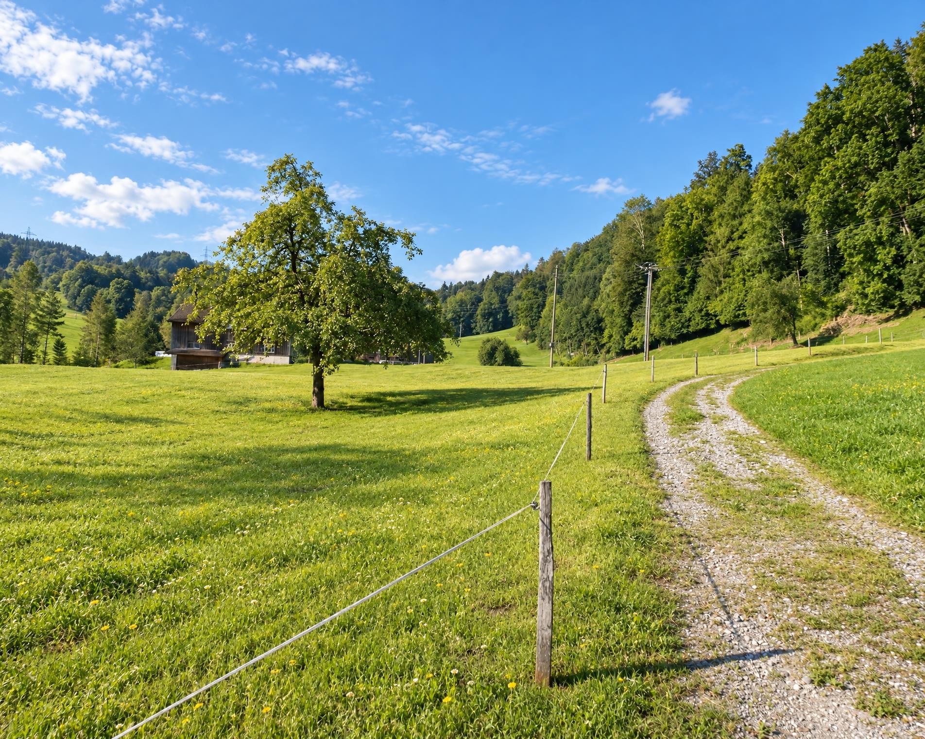
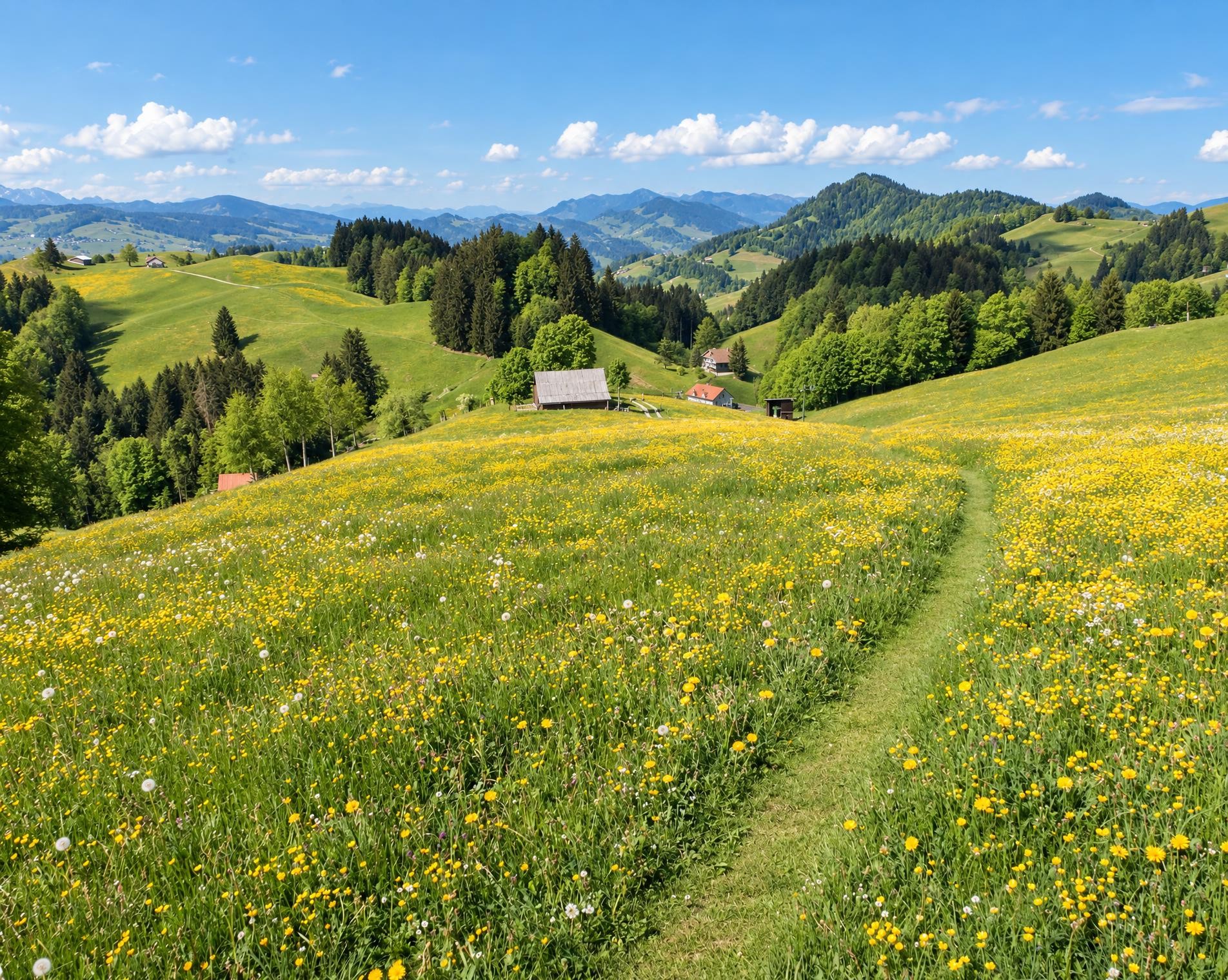
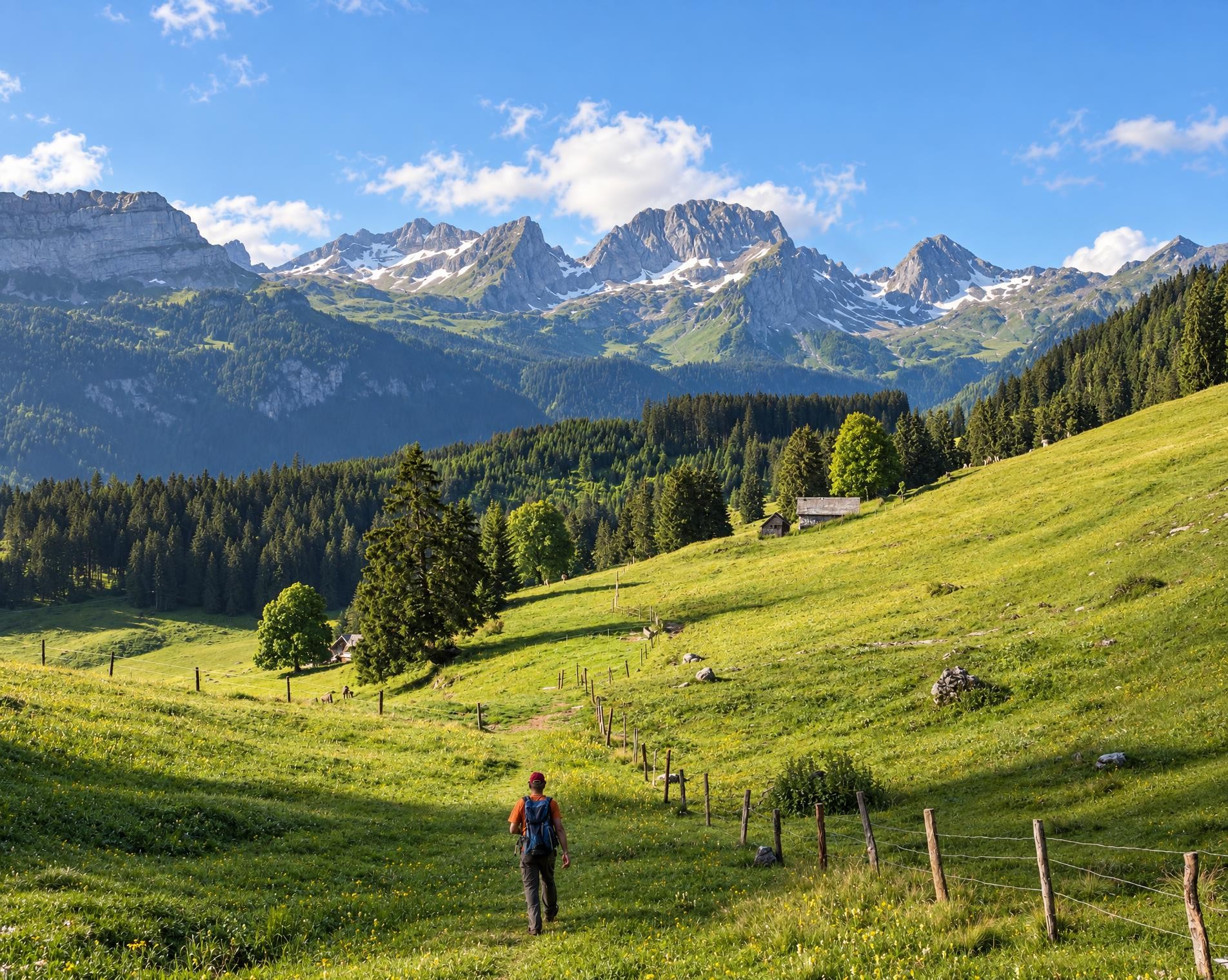
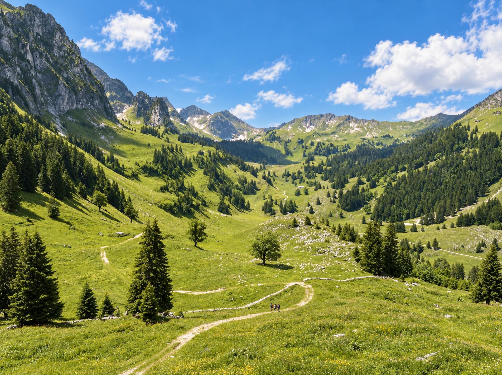
The Alpine Panorama Trail from Bodensee to Lac Léman promises many views of Alpine peaks as well as of the Mittelland and Jura. The route leads through the traditional agricultural landscape of the Alpine foothills, still dominated by milk and cheese production.
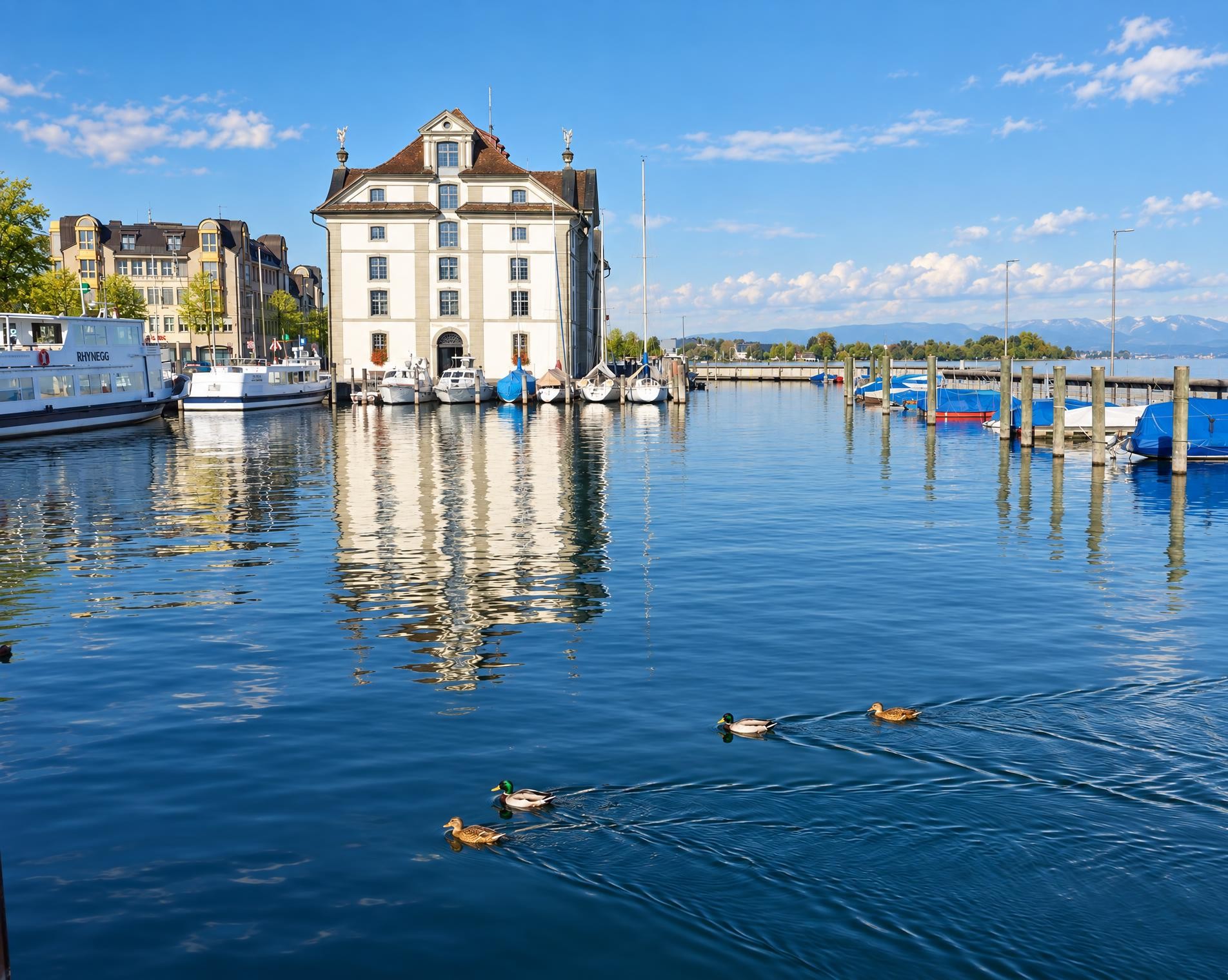
From the Rorschach Hafen stop, it is only a few steps to Lake Constance. The trail leaves the shore and winds through the meadows, forests and villages of Appenzellerland. After Appenzell, it climbs to the highest point of the entire route: near Kronberg at around 1,660 m. Via Schwägalp, the long east–west route continues towards Walensee.
From there, open Pre-Alpine hills, wooded ridges and settlements alternate. Einsiedeln, Chatzenstrick and Zugersee mark the transition into Central Switzerland; via Luzern, the yellow-waymarked hiking trail continues into Entlebuch and Emmental. Beyond Schwarzenburg, the terrain once again takes on a more Pre-Alpine character. Schwarzsee, Jaun and the small Lac de Montsalvens reservoir define the route into the Gruyère region.
Via Gruyères and the hills near Les Paccots, the route descends to Lake Geneva. Later, it follows the Boiron for an extended stretch and briefly the Canal de Versoix before approaching Genève. The approximately 510 kilometres require around 158 hours and involve some 17,800 metres of ascent. The destination lies just a few steps from Genève Cornavin railway station.
02/ Along the route
What's along the way
Where the route climbs and where it descends. Hover the profile to find the spot on the map.
03/ Conditions
Current conditions
What to know before you set off. Closures and snow are re-checked every day.
Canal du Moulin-de-Richelien
From 23 Jul 2020 – Until 29 Jun 2027
Niederurnen: Kehrichtsverbrennungsanlage
From 8 Jan 2024 – Until 31 Oct 2026
Passerelle des Tenassses
From 14 Jul 2025 – Until 1 Jan 2027
Fussgängerbrücke wird renoviert
Les Paccots: Les Joncs - Tornare
From 22 Jul 2025 – Until 26 Oct 2026
Konflikt mit anderen Interessen. Wir empfehlen, den Wanderweg Les Paccots, La Saira - La Tornare (Tour de Corbetta durch den Wald) + 40' zu benutzen.
Fuss- und Radwegunterführung im Brüggli in Zug
From 15 Sept 2025 – Until 31 Mar 2027
Die Fuss- und Radwegunterführung im Brüggli in Zug aus dem Jahre 1973 wird umgebaut. Baustart ist am 15. September 2025. Mit dem Umbau werden die Treppenabgänge durch Rampen ersetzt. Somit werden der Komfort und die Sicherheit für den Velo- und Fussverkehr erhöht. Die Bauarbeiten dauern voraussichtlich bis März 2027.
Gorges de la Jogne
From 8 Dec 2025 – Until 7 Dec 2026
Es wurden große Winterschäden festgestellt und es müssten zahlreiche Arbeiten durchgeführt werden, um eine Wiedereröffnung in Betracht zu ziehen. Umleitung möglich zu Fuss über Châtel-sur-Montsalvens (Wanderweg) oder mit dem Bus (Châtel-sur-Montsalvens, Restaurant - Broc-Village, Bahnhof).
Voie verte Genève Versoix
From 16 Feb 2026 – Until 5 Feb 2027
Breccaschlund - Wälschi Rippa
From 27 Apr 2026 – Until 30 Mar 2027
Die Gemeinde Val-de-Charmey hat in Zusammenarbeit mit der Gemeinde Plaffeien festgestellt, dass die Felswand auf der Höhe des Standorts "Rippa" Instabilitäten aufweist.
Voie verte Genève Versoix
From 5 May 2026 – Until 5 Feb 2027
Rengglochbrücke
From 27 May 2026 – Until 1 Dec 2026
Die Brücke über den Renggbach ist beschädigt und muss ersetzt werden.
Voie verte Genève-Versoix
From 29 Jun 2026 – Until 27 Nov 2026
Reussufer Luzern
From 7 Sept 2026 – Until 30 Nov 2026
Oberkaien
From 14 Sept 2026 – Until 16 Oct 2026
Bau einer Wasserleitung
How we check: Every night we match the route against the official closures and detours from the Federal Roads Office (FEDRO). Any reported closure that touches the route shows up here.
How we check: We look up a live public transport connection from your starting point to the stop closest to the trailhead. If it ends further away, the nearest stop may be a cable car or bus that isn't running right now.
How we check: Snow depth estimated daily at the lowest and the highest point of the route. Estimates: check the situation on site.
04/ Getting there
Getting there
From your door to the trailhead and home again, by train and bus or by car. Computed live from the timetable.
Or from
Outbound
Return
05/ Weather
Weather on the way
Forecast for the lowest and the highest point of the route.
Weather
06/ Trail & landscape
Trail & landscape
Which paths you walk on and the landscape they lead through.
07/ Snow
Snow on the route
Snow depths, new snow and forecast. Estimates: check the situation on site before you set off.
Snow Info
Comparative snow depth is only available from November 1 to June 30.
08/ Export
Take the route with you
Load the track onto your GPS device, print a route sheet for the trail or send the route to your hiking group.
Share
Send the link to friends or your hiking group.
Export GPX File
For hiking apps, GPS watches and navigation devices.
Print Route Sheet
A4 with map, elevation profile, waypoints and emergency numbers.