Hike /Schweiz Mobil
Chemin de la Grande Cariçaie
Estavayer-le-Lac
- Distance
- 13.0 km
- Duration
- 3:25 h
- Ascent
- 240 m
- Descent
- 240 m
- Difficulty
- Easy
- Fitness
- Moderate
- Route type
- Loop
- Season
- All year
01/ Overview
The route
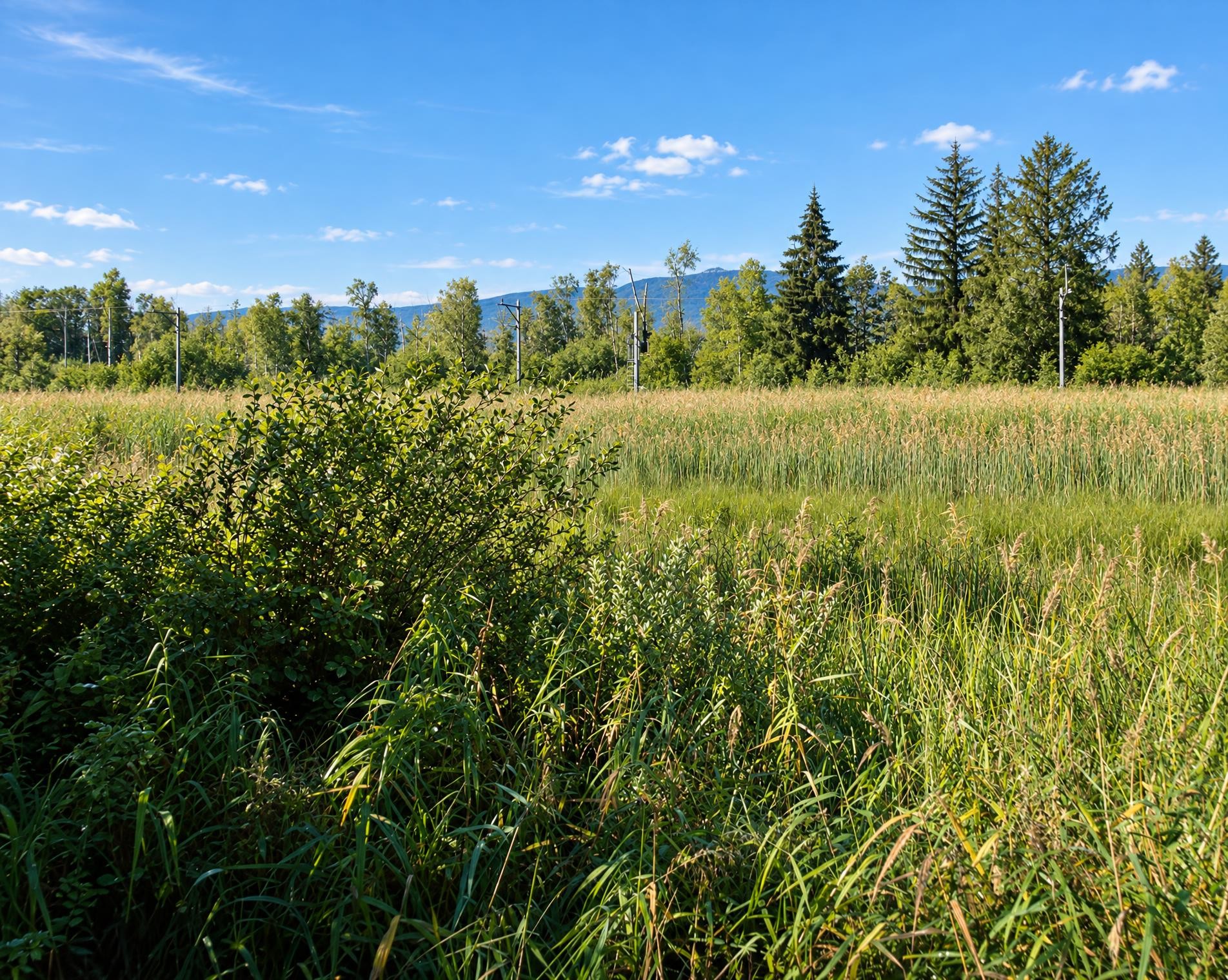
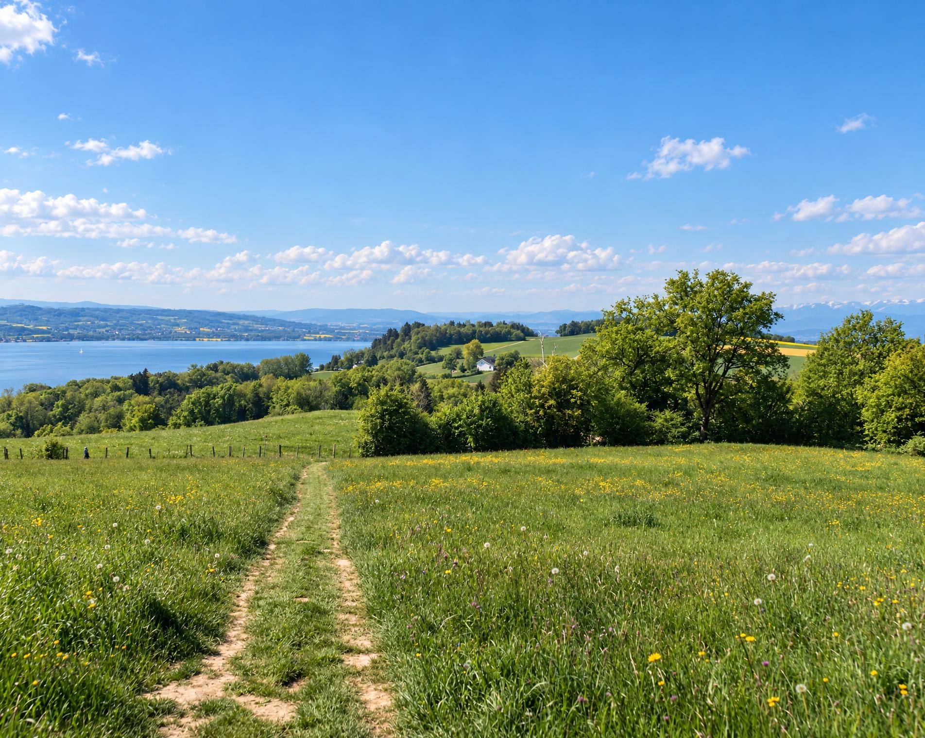
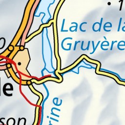
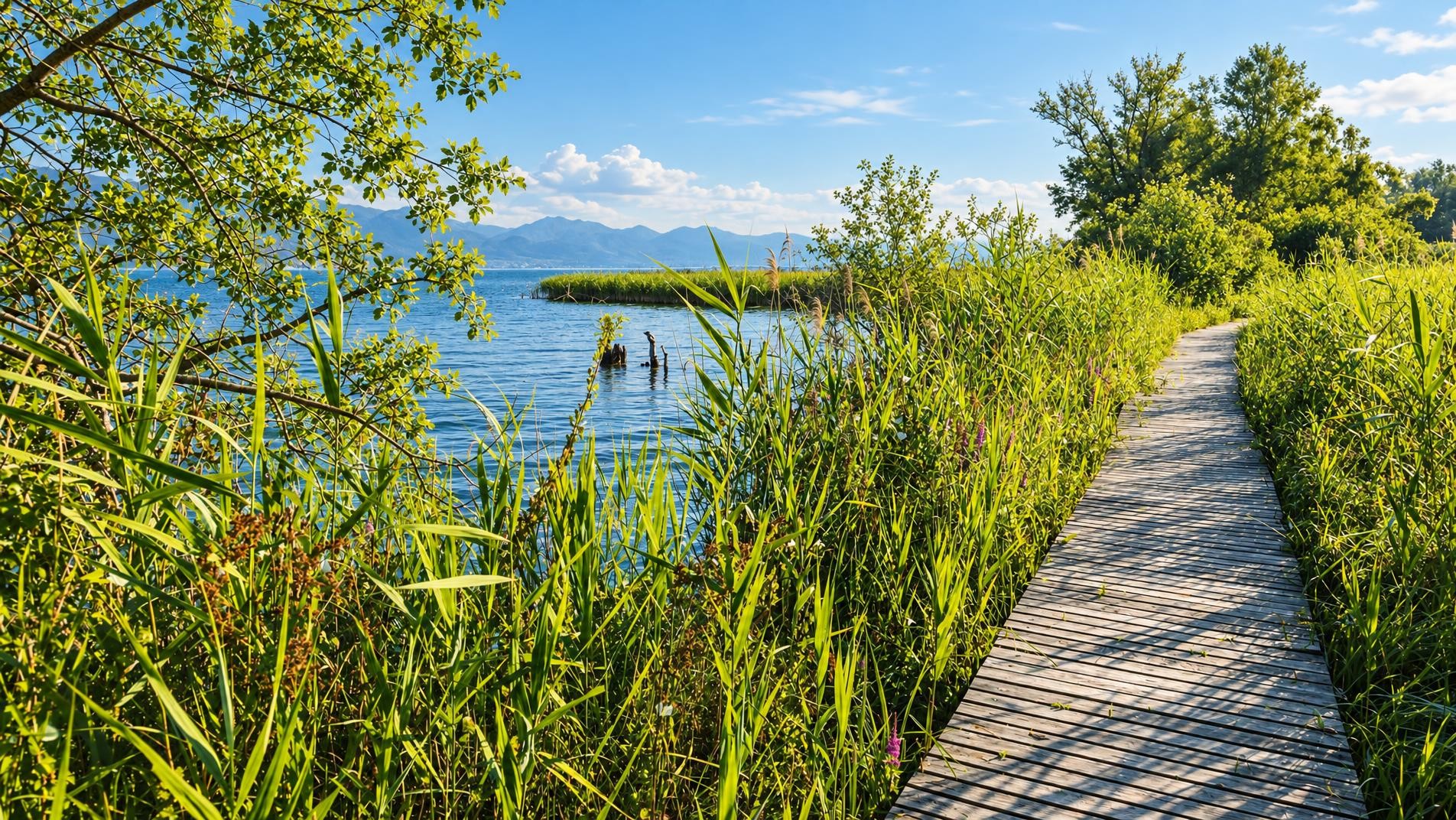
Nature and humans live together harmoniously in the Grande Cariçaie on the southern shore of Lake Neuchâtel. The nature reserve, Switzerland's largest lakeside wetland, is home to 800 plant species and over 10,000 animal species, who shape the banks under the friendly gaze of passing hikers.
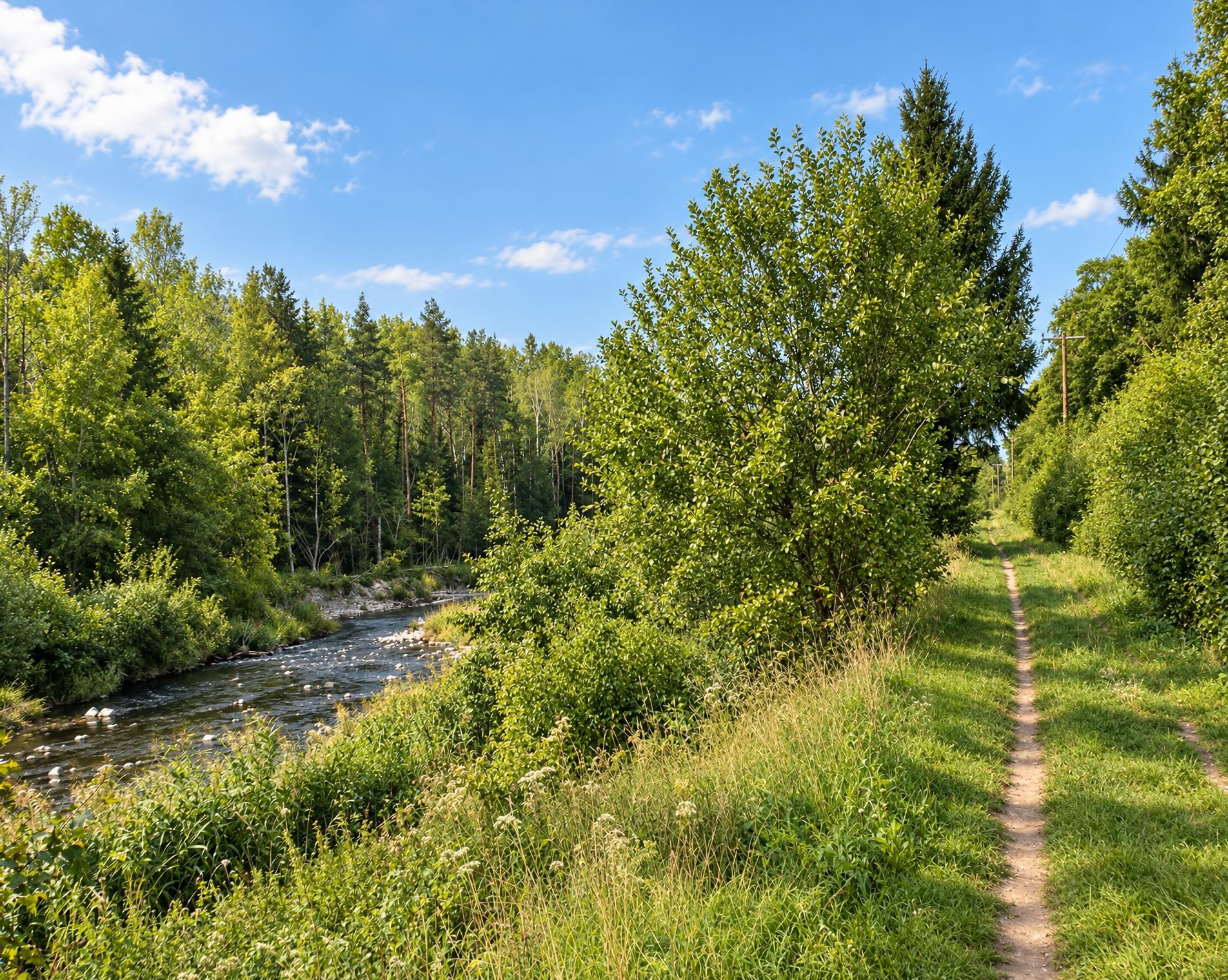
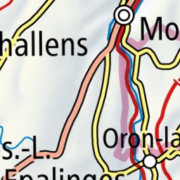
The approximately three-and-a-half-hour hike starts at Estavayer-le-Lac bus station and initially leads out through the small town. The yellow-waymarked trail approaches Lake Neuchâtel and reaches a viewing platform near Font, amid the wetlands that characterise the shoreline.
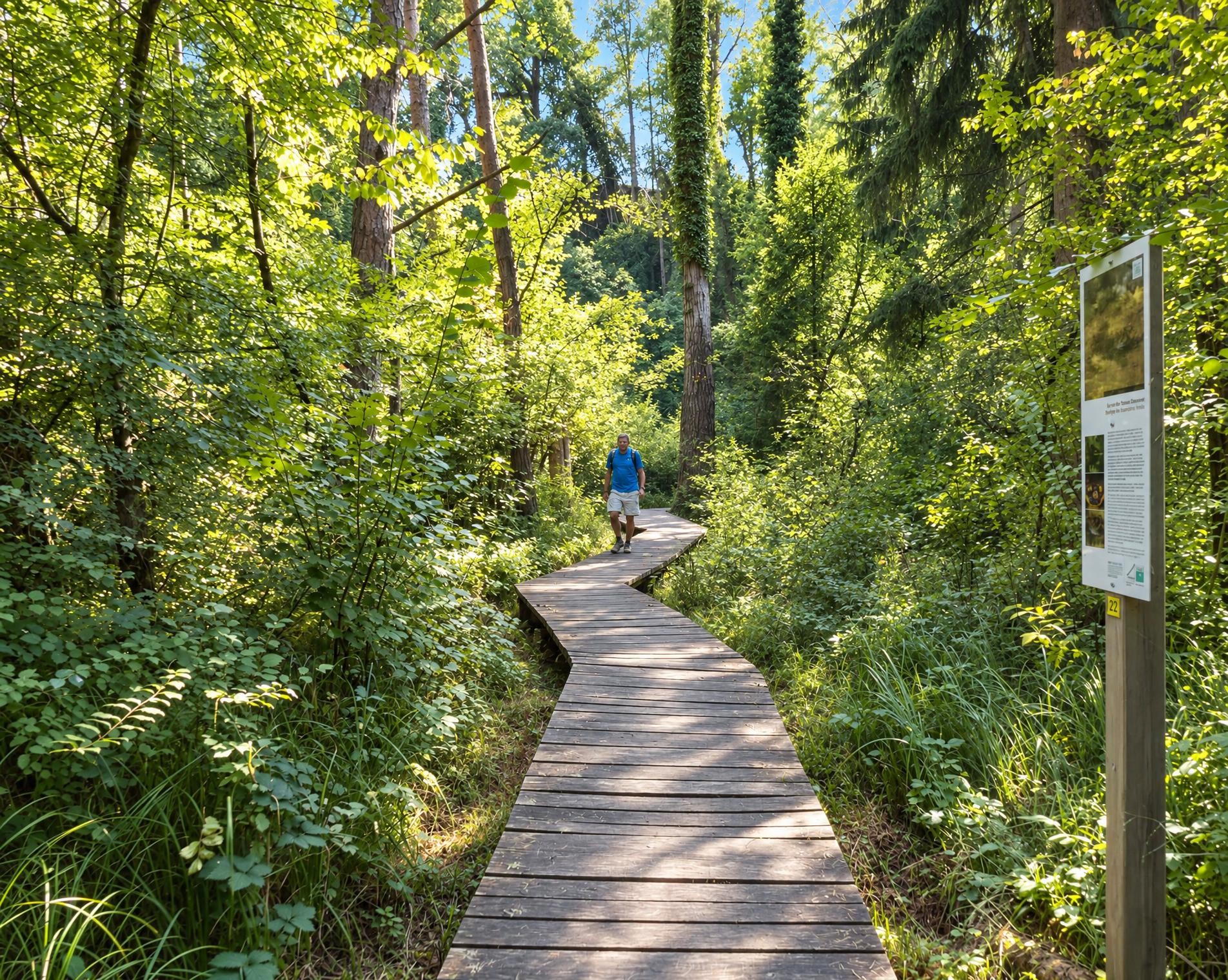
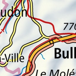
The route then turns away from the lake. It leads via La Magnena into the forest, where clearings repeatedly open up between the trees. The viewing platform near Châbles lies directly beside the trail and is an ideal spot for a short break. The route then continues to climb, reaching its highest point at around 600 m just over halfway through the hike.
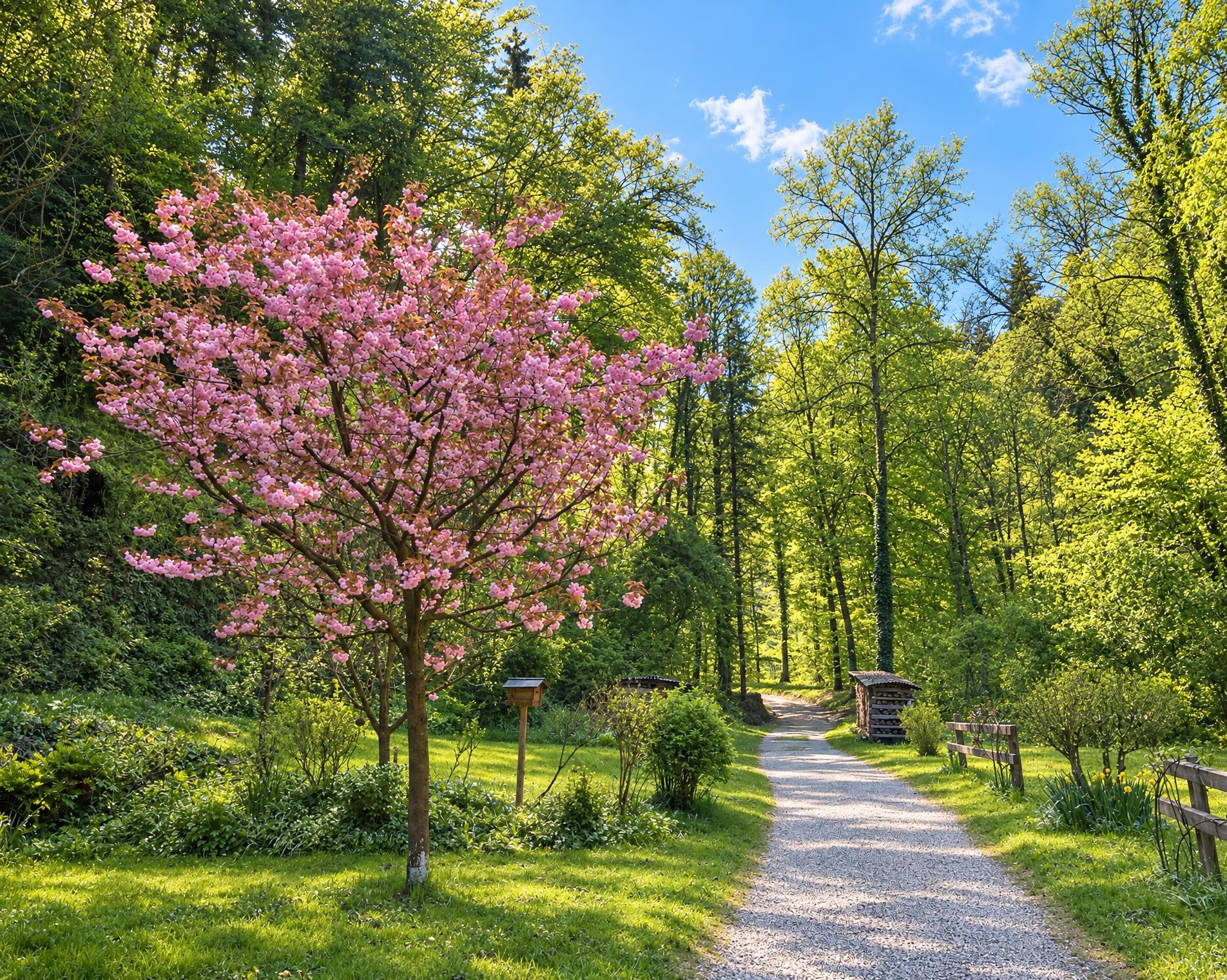
The trail leads through forest, open meadows and small settlements to Les Carrons and Châbles. There it passes the chapel before the return route leads via Châtillon back to Estavayer-le-Lac. After around 13 kilometres, the varied circular hike ends at the bus station.
02/ Along the route
What's along the way
Where the route climbs and where it descends. Hover the profile to find the spot on the map.
03/ Conditions
Current conditions
What to know before you set off. Closures and snow are re-checked every day.
Font: l'Eglise - Les Grèves
From 21 Feb 2024 – Until 26 Oct 2026
Grossflächiger Hangrutsch. Der Weg ist unpassierbar/nicht mehr vorhanden.
How we check: Every night we match the route against the official closures and detours from the Federal Roads Office (FEDRO). Any reported closure that touches the route shows up here.
How we check: We look up a live public transport connection from your starting point to the stop closest to the trailhead. If it ends further away, the nearest stop may be a cable car or bus that isn't running right now.
How we check: Snow depth estimated daily at the lowest and the highest point of the route. Estimates: check the situation on site.
04/ Getting there
Getting there
From your door to the trailhead and home again, by train and bus or by car. Computed live from the timetable.
Or from
Outbound
Return
05/ Weather
Weather on the way
Forecast for the lowest and the highest point of the route.
Weather
06/ Trail & landscape
Trail & landscape
Which paths you walk on and the landscape they lead through.
Larches count as conifer forest here.
07/ Snow
Snow on the route
Snow depths, new snow and forecast. Estimates: check the situation on site before you set off.
Snow Info
Comparative snow depth is only available from November 1 to June 30.
08/ Export
Take the route with you
Load the track onto your GPS device, print a route sheet for the trail or send the route to your hiking group.
Share
Send the link to friends or your hiking group.
Export GPX File
For hiking apps, GPS watches and navigation devices.
Print Route Sheet
A4 with map, elevation profile, waypoints and emergency numbers.