Hike /Schweiz Mobil
Chemin des Trois-Lacs
Yverdon-les-BainsMurten
- Distance
- 61.0 km
- Duration
- –
- Ascent
- 760 m
- Descent
- 740 m
- Difficulty
- Easy
- Fitness
- Hard
- Route type
- One way
- Season
- All year
01/ Overview
The route
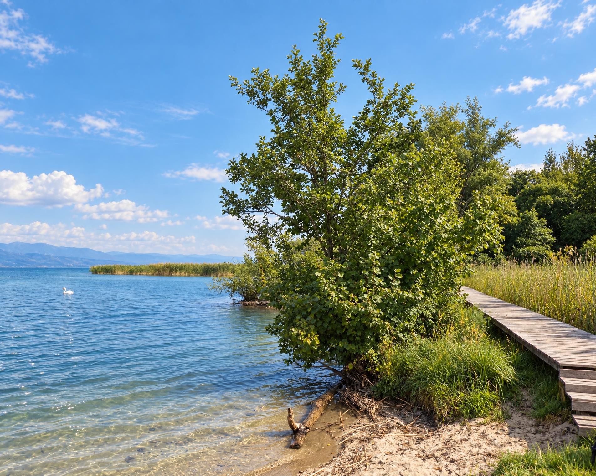
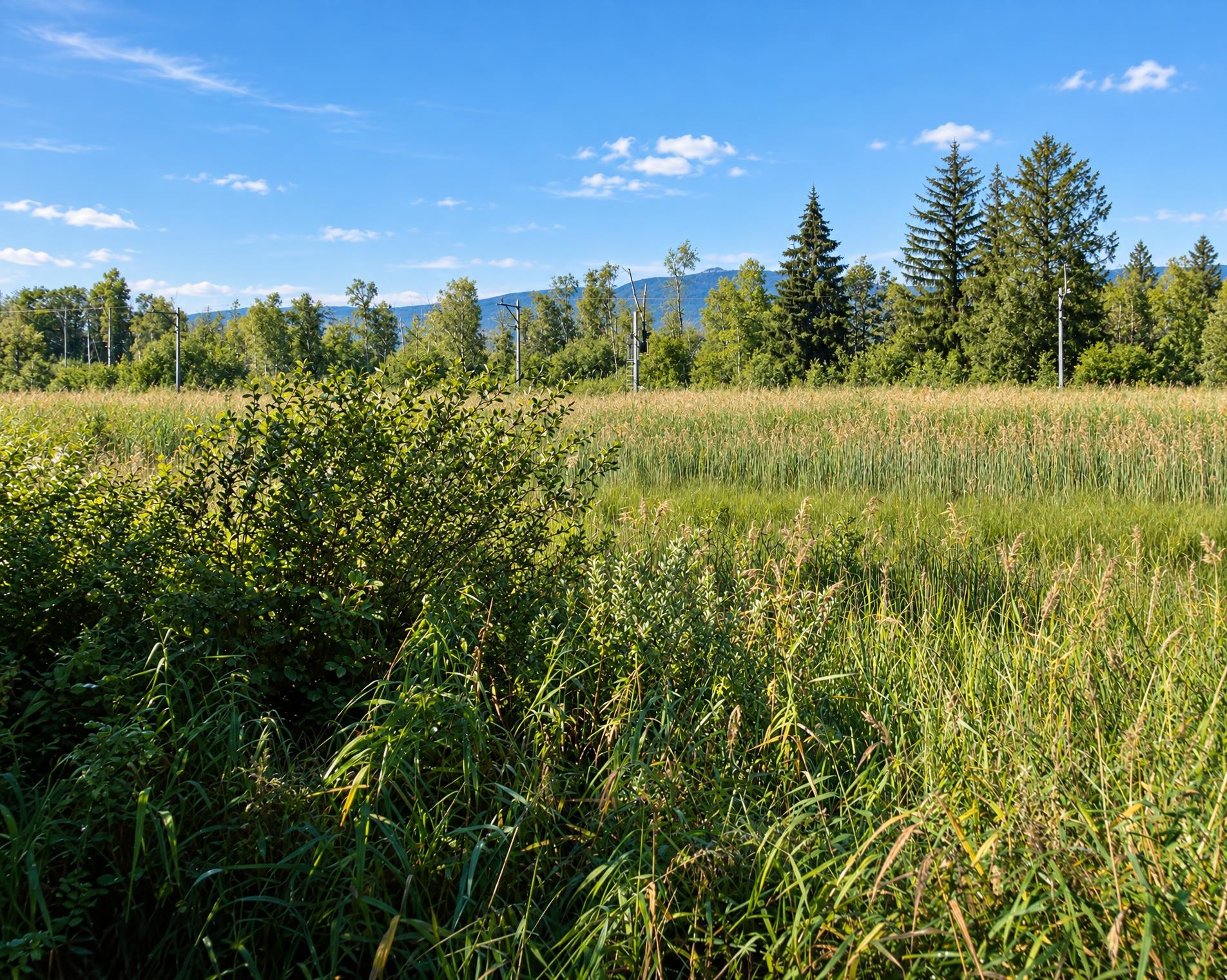
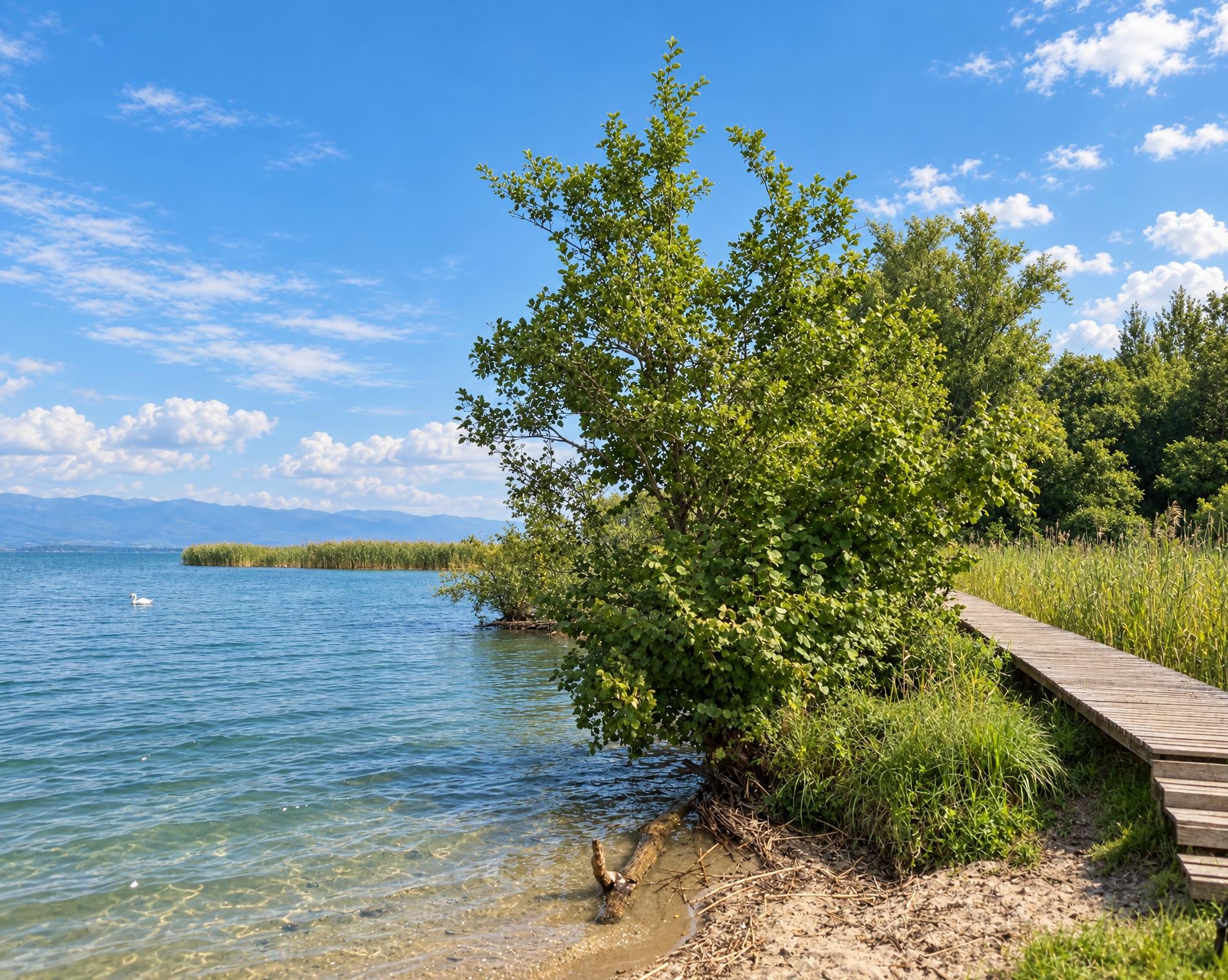
«Water is life», a simple law of nature particularly valid for «Three Lake Country». The «Chemin des Trois-Lacs» trail leads along natural shorelines, through reed beds and into nature reserves which give information on sensitive topics.
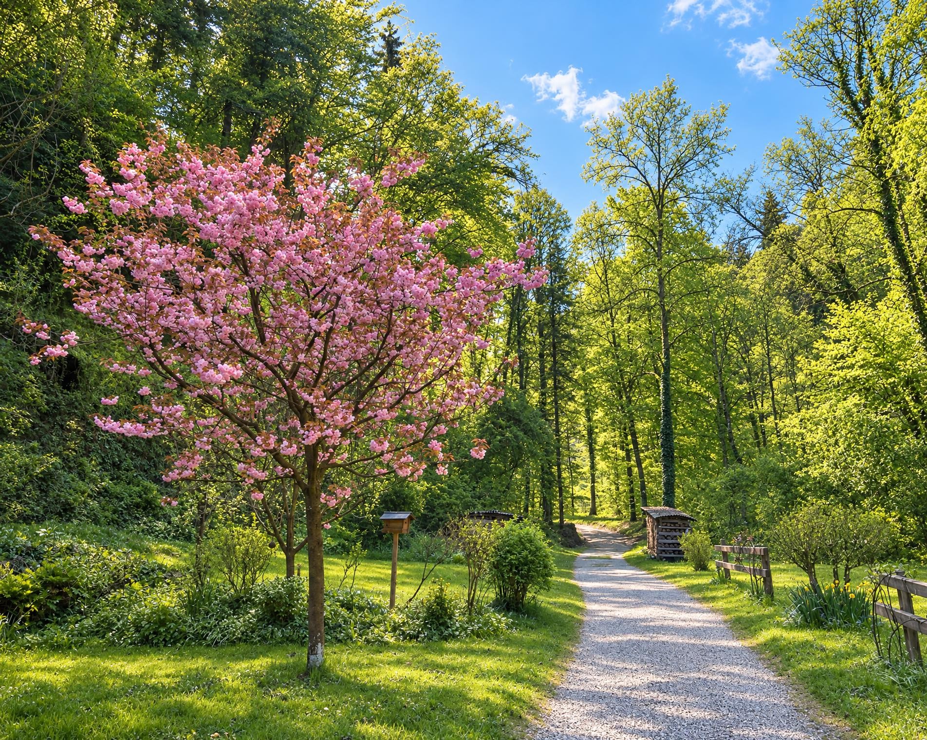
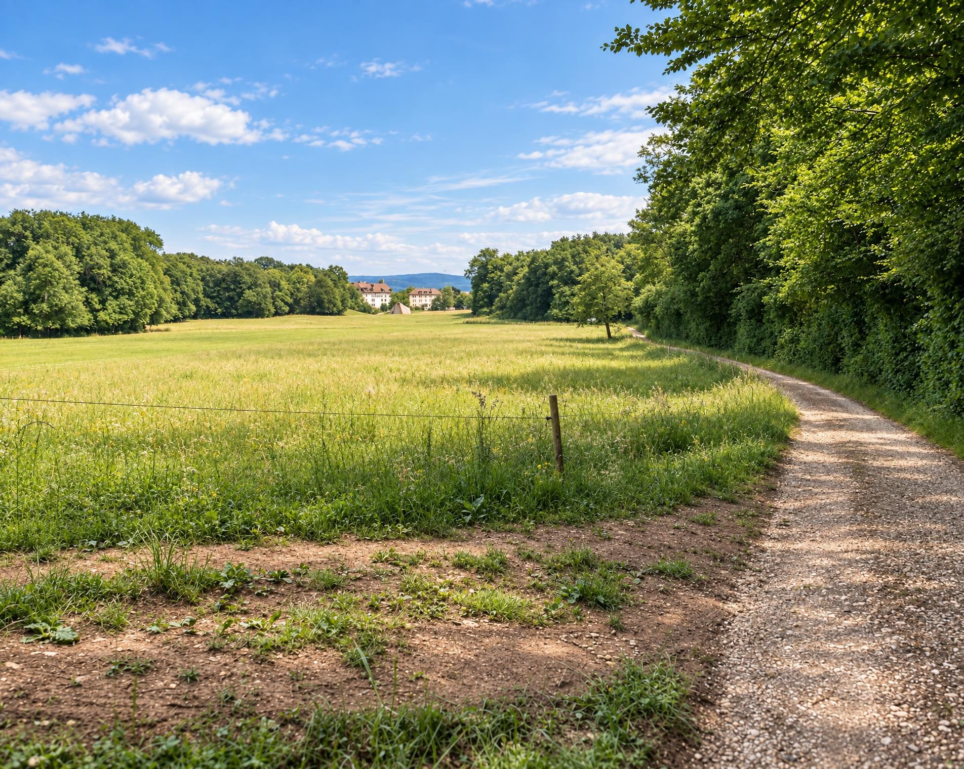
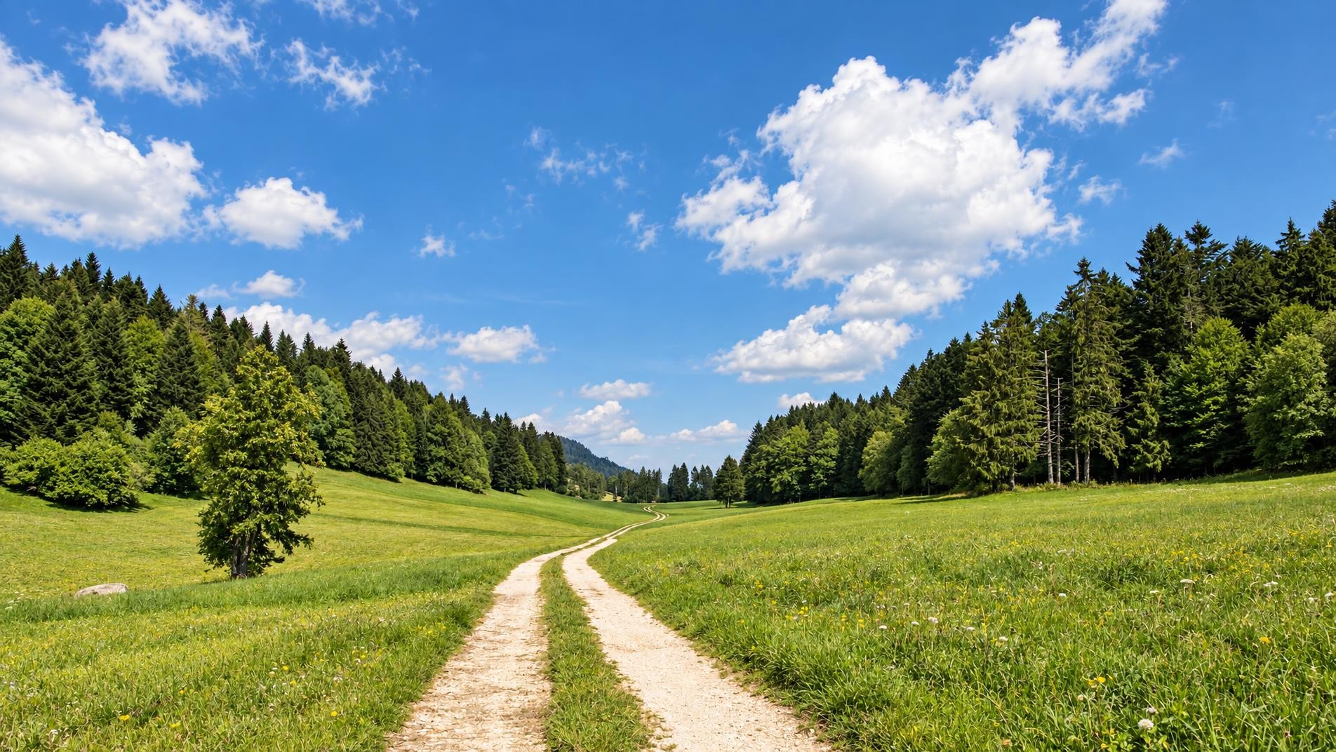
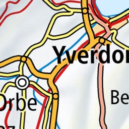
The long hike between town and water begins near the Yverdon-les-Bains stop. Initially, the route follows the Canal Oriental and Canal des Anglais, soon passing directly by Château de Champittet. From there, Lake Neuchâtel sets the course. The hiking trail leads through woodland and open shoreline, via Cheyres to Estavayer-le-Lac.
Continuing north-east, the route alternates between quiet stretches of shoreline, meadows and villages. Near Cudrefin, it passes the Grand étang and reaches La Sauge. It then leaves the lake and climbs to the ridge of Mont Vully. At around 650 m, this is the highest point; between Lake Neuchâtel and Lake Murten, views extend across all three lakes and towards the Jura and the Alps.
The descent leads to Sugiez and back to the water. Along Lake Murten, the route continues via Muntelier towards Murten, where the French Church and the castle stand directly beside the route. A few steps later, the hike ends at the Murten/Morat stop.
02/ Along the route
What's along the way
Where the route climbs and where it descends. Hover the profile to find the spot on the map.
03/ Conditions
Current conditions
What to know before you set off. Closures and snow are re-checked every day.
Delley-Portalban, Gros-Champ
From 13 Dec 2023 – Until 23 Nov 2026
Font: l'Eglise - Les Grèves
From 21 Feb 2024 – Until 26 Oct 2026
Grossflächiger Hangrutsch. Der Weg ist unpassierbar/nicht mehr vorhanden.
Cheyres
From 22 Apr 2025 – Until 31 Oct 2026
How we check: Every night we match the route against the official closures and detours from the Federal Roads Office (FEDRO). Any reported closure that touches the route shows up here.
How we check: We look up a live public transport connection from your starting point to the stop closest to the trailhead. If it ends further away, the nearest stop may be a cable car or bus that isn't running right now.
How we check: Snow depth estimated daily at the lowest and the highest point of the route. Estimates: check the situation on site.
04/ Getting there
Getting there
From your door to the trailhead and home again, by train and bus or by car. Computed live from the timetable.
Or from
Outbound
Return
05/ Weather
Weather on the way
Forecast for the lowest and the highest point of the route.
Weather
06/ Trail & landscape
Trail & landscape
Which paths you walk on and the landscape they lead through.
07/ Snow
Snow on the route
Snow depths, new snow and forecast. Estimates: check the situation on site before you set off.
Snow Info
Comparative snow depth is only available from November 1 to June 30.
08/ Export
Take the route with you
Load the track onto your GPS device, print a route sheet for the trail or send the route to your hiking group.
Share
Send the link to friends or your hiking group.
Export GPX File
For hiking apps, GPS watches and navigation devices.
Print Route Sheet
A4 with map, elevation profile, waypoints and emergency numbers.