Hike /Schweiz Mobil
Neckerweg
SchwägalpBazenheid
- Distance
- 38.0 km
- Duration
- –
- Ascent
- 1000 m
- Descent
- 1750 m
- Difficulty
- Moderate
- Fitness
- Hard
- Route type
- One way
01/ Overview
The route
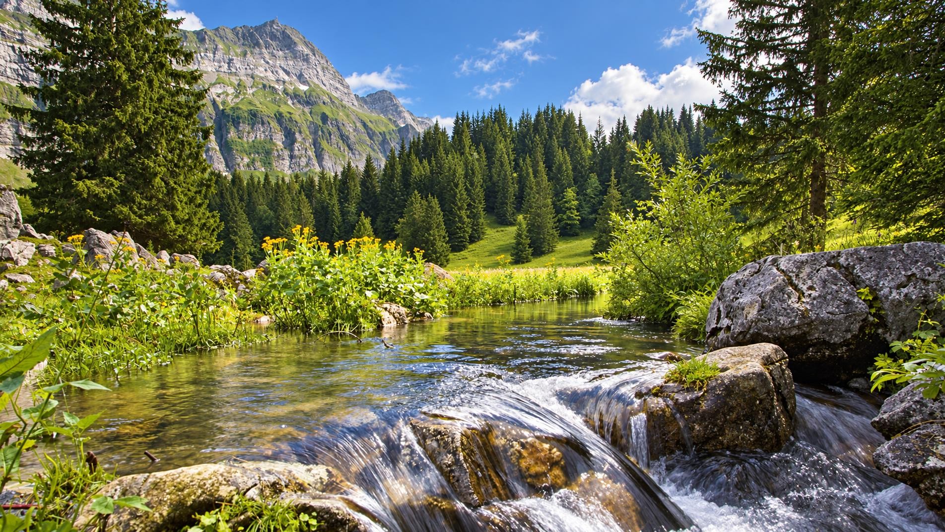
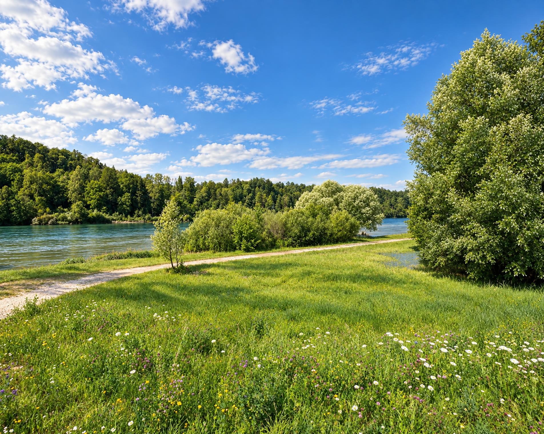
Following the entire length of the river Necker from its headwaters to its mouth, this route sets off from the Schwägalp Pass in the foothills of the Säntis before arriving at the river. You will follow its course to St. Peterzell, which is on the Way of St. James, and continue through a protected floodplain area where the Necker flows into the river Thur near Lütisburg.
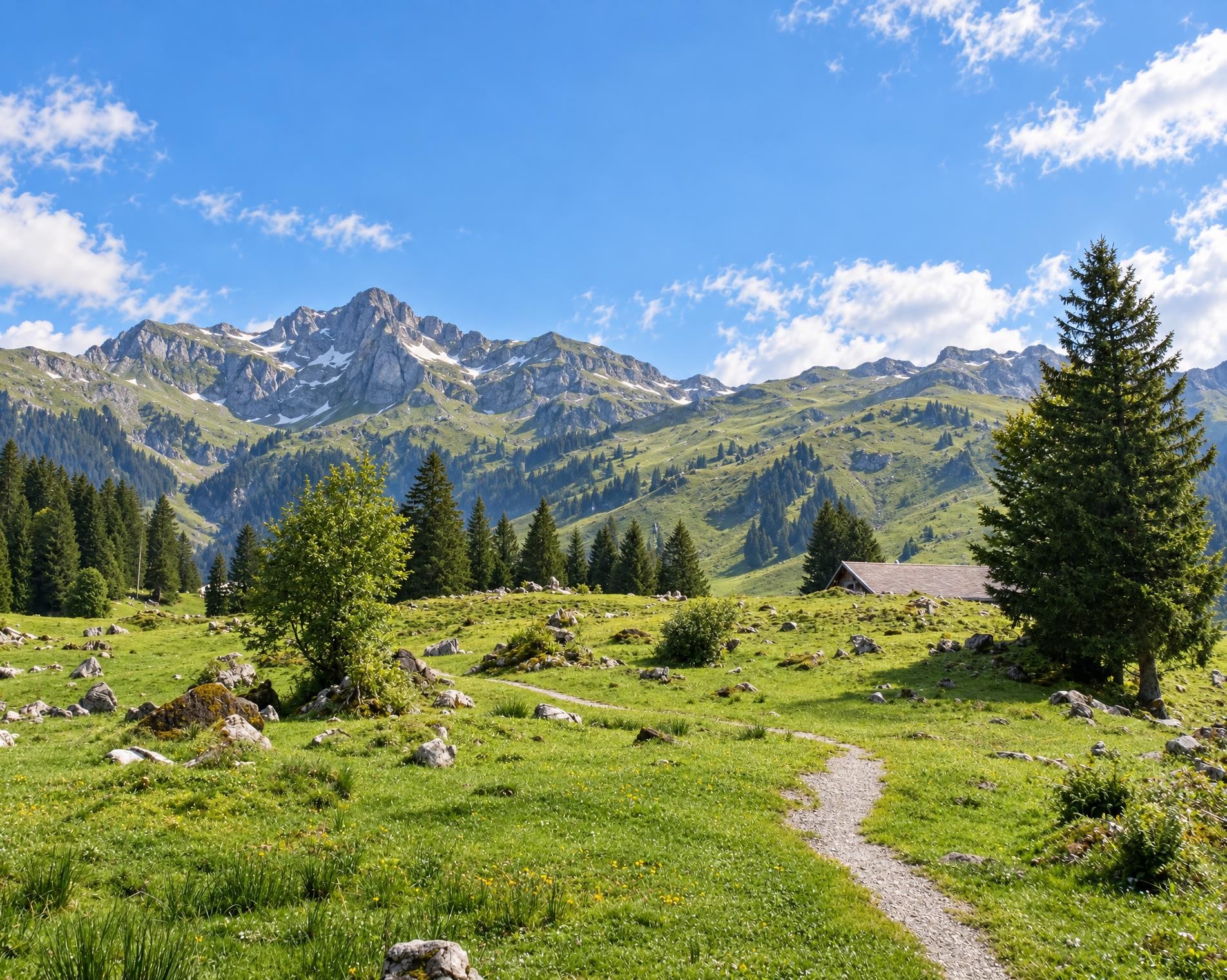
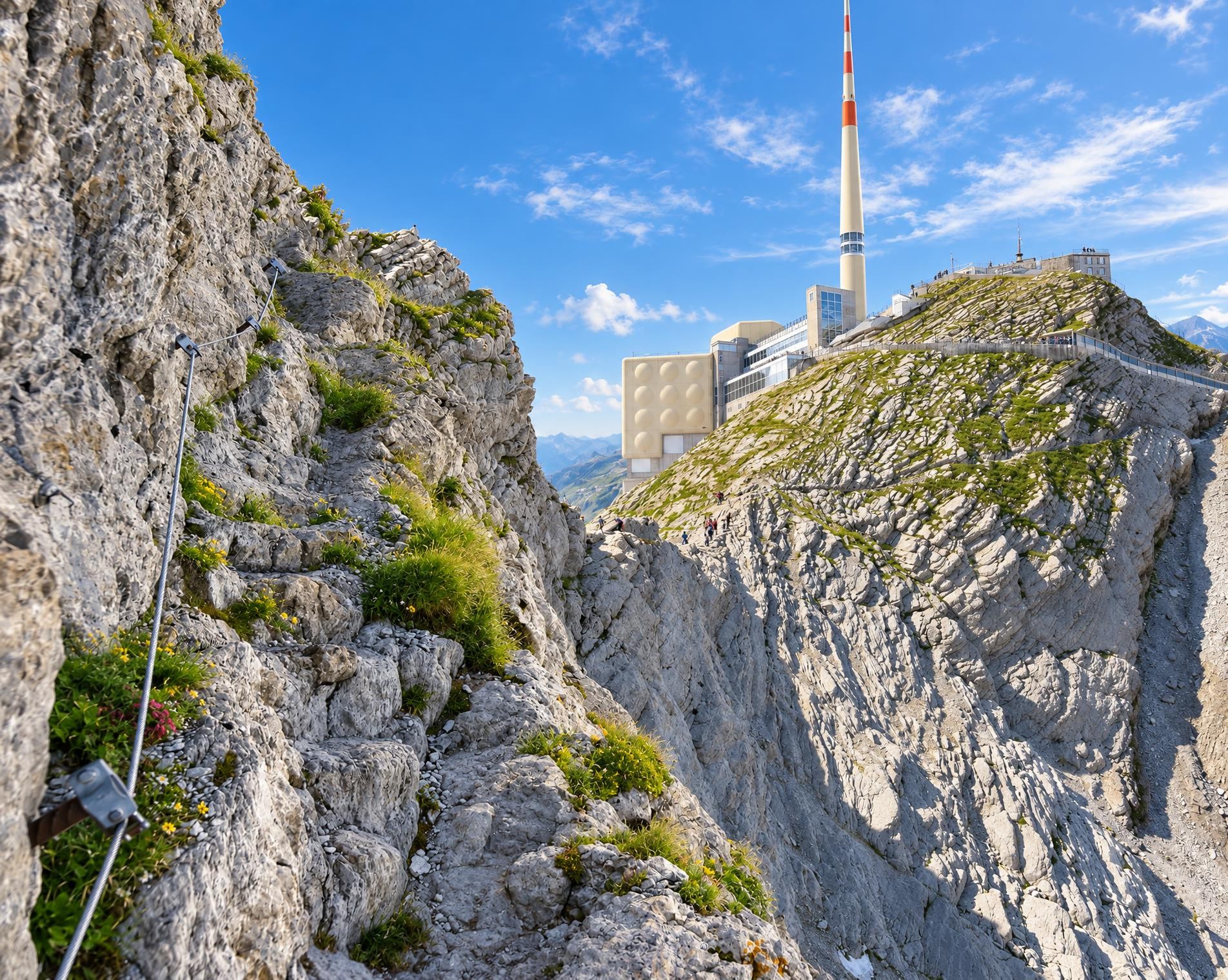
The long hike begins at the Schwägalp, Säntis-Schwebebahn bus stop. After only a few minutes, the highest point is reached at around 1,350 m. The route then descends through open pastures and woodland. For just under three kilometres, the hiking trail becomes a white-red-white waymarked mountain trail and crosses rougher terrain before reaching Ampferenboden.
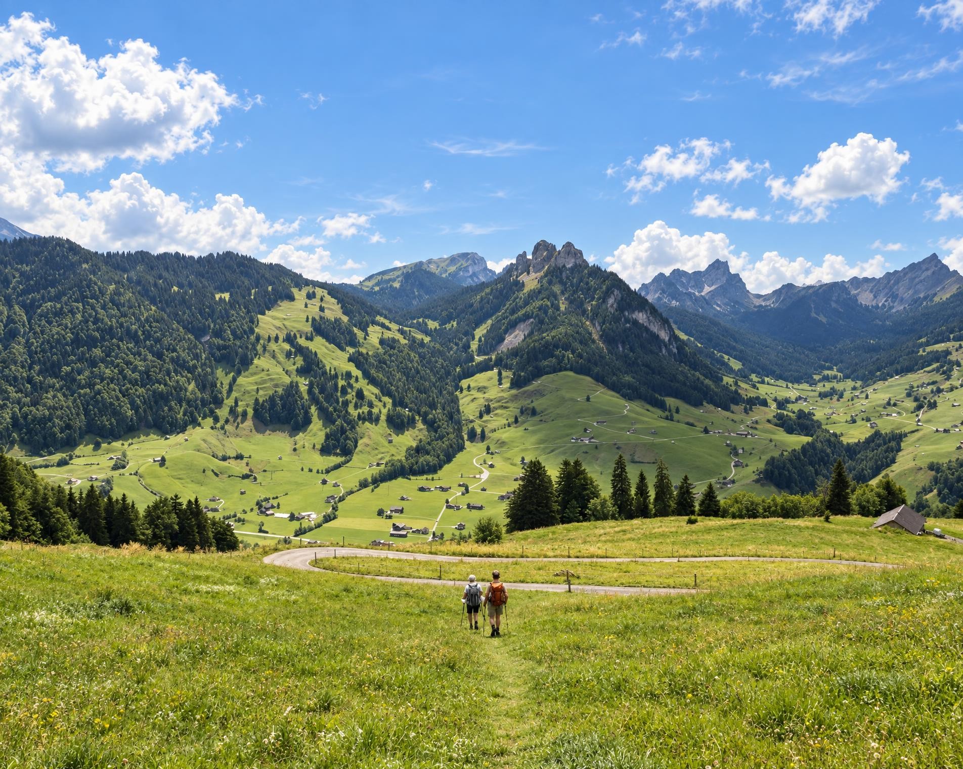
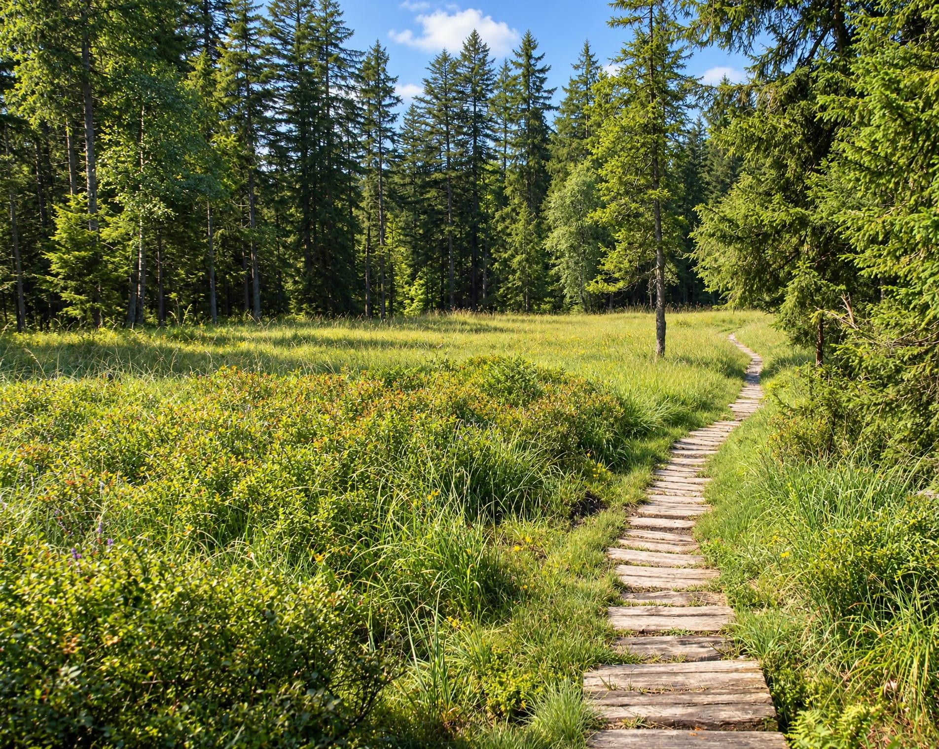
A long section of constant ups and downs follows, passing through woodland, meadows and scattered settlements. Sankt Peterzell lies roughly halfway along the route; in the village, the trail passes the Catholic church. It then continues via Brunnadern through the hilly Toggenburg countryside.
Beyond Lütisburg, the final section to Bazenheid begins. Open meadows once again alternate with woodland, and several counter-ascents bring the total ascent to around 1,000 metres despite the considerable overall loss in elevation. The 38-kilometre hike ends at Bazenheid railway station after just over eleven hours.
02/ Along the route
What's along the way
Where the route climbs and where it descends. Hover the profile to find the spot on the map.
03/ Conditions
Current conditions
What to know before you set off. Closures and snow are re-checked every day.
Brücke Mühlau
From 26 Jun 2026 – Until 17 Jun 2027
Die Brücke Mühlau ist dauerhaft für sämtlichen Fuss- und Fahrverkehr gesperrt. Eine neue Wanderwegverbindung wird ab dem 26. Juni über die neue Energiebrücke im Schachen bei Jonschwil geführt.
Sperrung, Brücke Mühlau
Until further notice
Das Ende der Route in Bazenheid ist nicht direkt erreichbar. Die Mühlaubrücke ist aus Sicherheitsgründen für Fuss- und Fahrverkehr dauerhaft gesperrt. Der Weg Lütisburg–Mühlau ist zwar begehbar, allerdings ist dort kein Übergang über die Thur möglich. Wandernden wird deshalb empfohlen, bis Lütisburg zu wandern und dort den Bus zu nehmen
How we check: Every night we match the route against the official closures and detours from the Federal Roads Office (FEDRO). Any reported closure that touches the route shows up here.
How we check: We look up a live public transport connection from your starting point to the stop closest to the trailhead. If it ends further away, the nearest stop may be a cable car or bus that isn't running right now.
How we check: Snow depth estimated daily at the lowest and the highest point of the route. Estimates: check the situation on site.
04/ Getting there
Getting there
From your door to the trailhead and home again, by train and bus or by car. Computed live from the timetable.
Or from
Outbound
Return
05/ Weather
Weather on the way
Forecast for the lowest and the highest point of the route.
Weather
06/ Trail & landscape
Trail & landscape
Which paths you walk on and the landscape they lead through.
07/ Snow
Snow on the route
Snow depths, new snow and forecast. Estimates: check the situation on site before you set off.
Snow Info
Comparative snow depth is only available from November 1 to June 30.
08/ Export
Take the route with you
Load the track onto your GPS device, print a route sheet for the trail or send the route to your hiking group.
Share
Send the link to friends or your hiking group.
Export GPX File
For hiking apps, GPS watches and navigation devices.
Print Route Sheet
A4 with map, elevation profile, waypoints and emergency numbers.