Hike /Schweiz Mobil
Via Calanca
GronoRossa
- Distance
- 22.0 km
- Duration
- –
- Ascent
- 1250 m
- Descent
- 540 m
- Difficulty
- Easy
- Fitness
- Moderate
- Route type
- One way
01/ Overview
The route
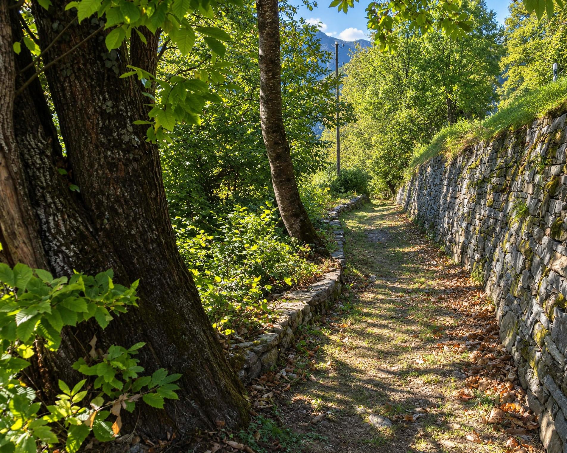
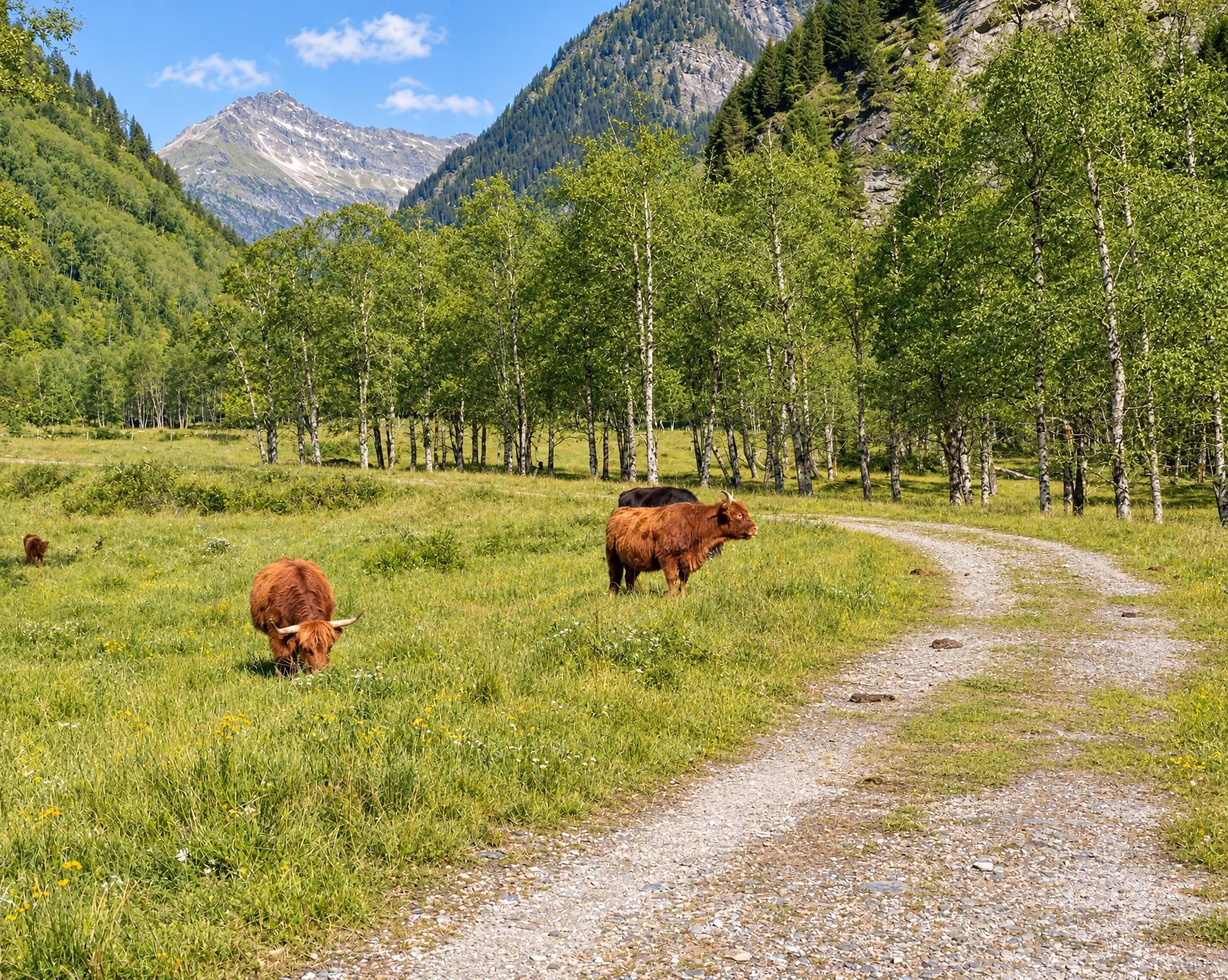
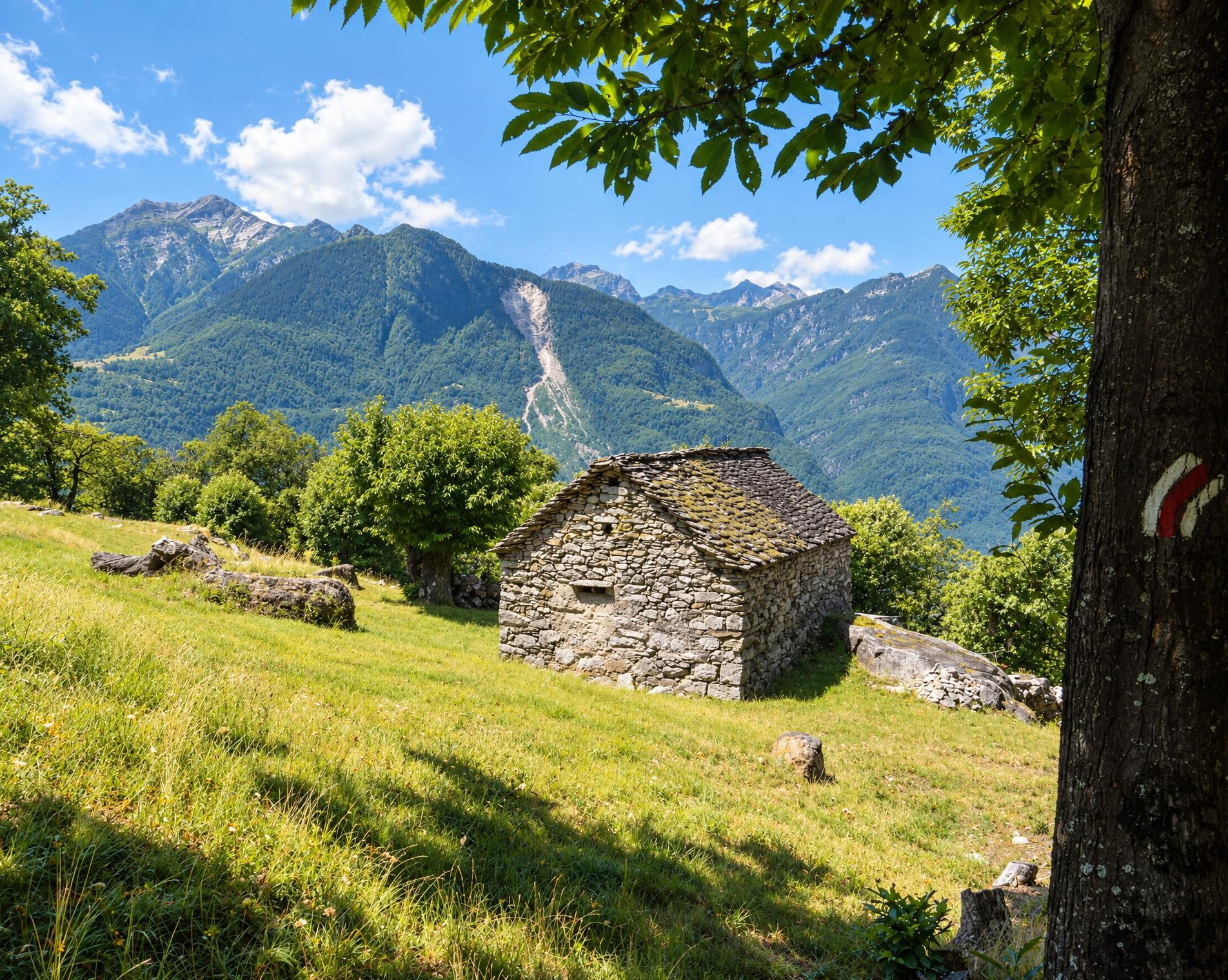
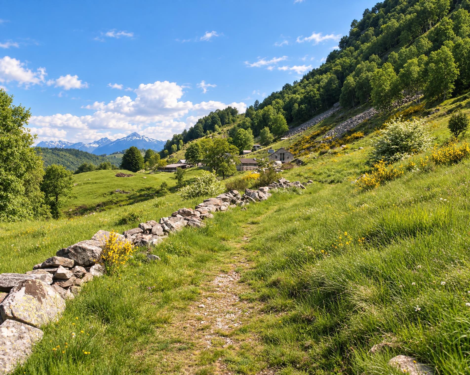
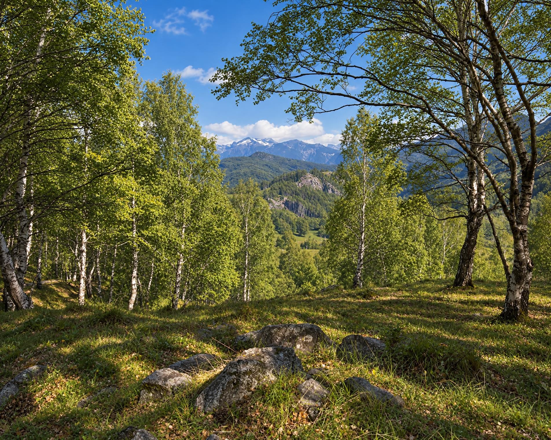
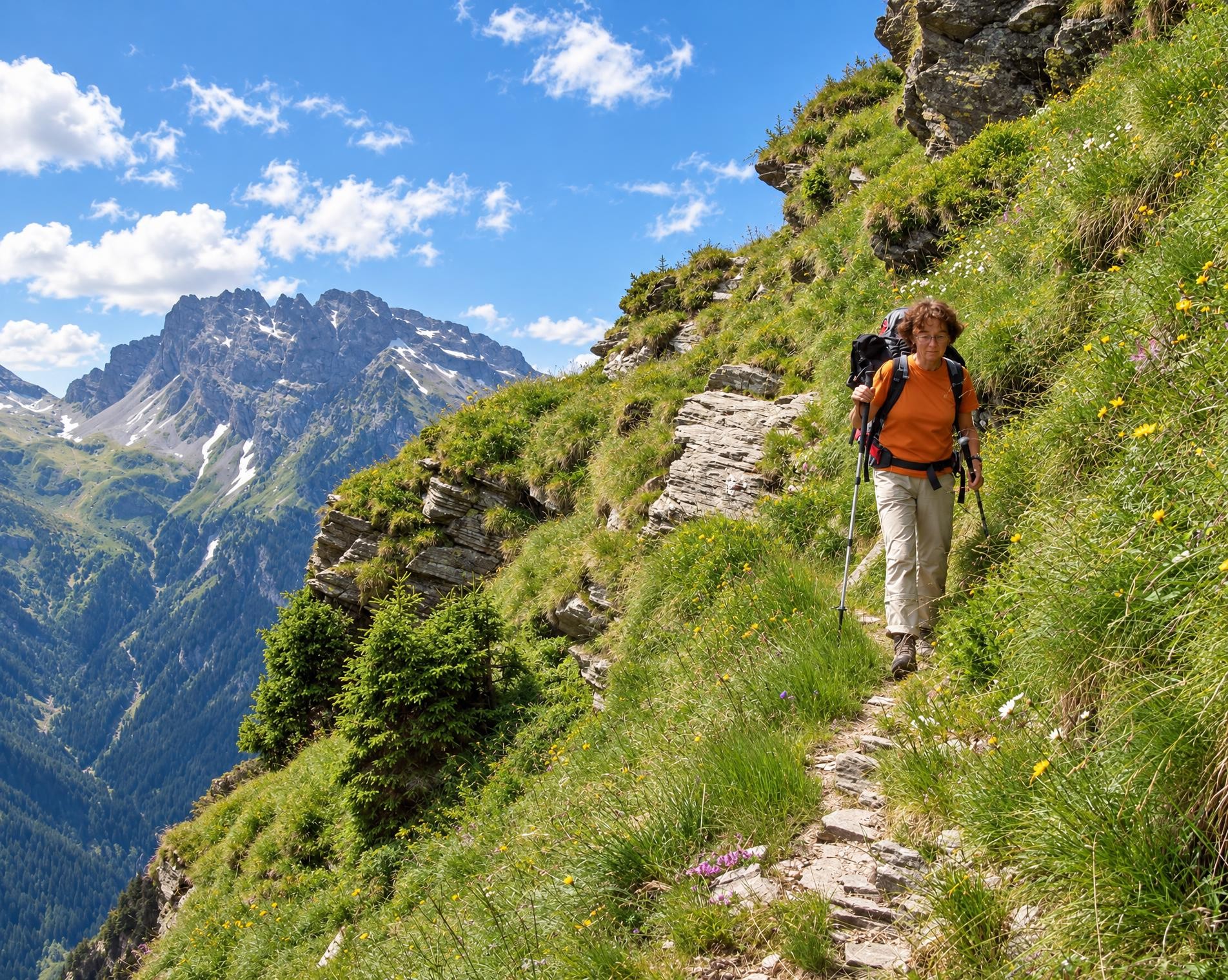
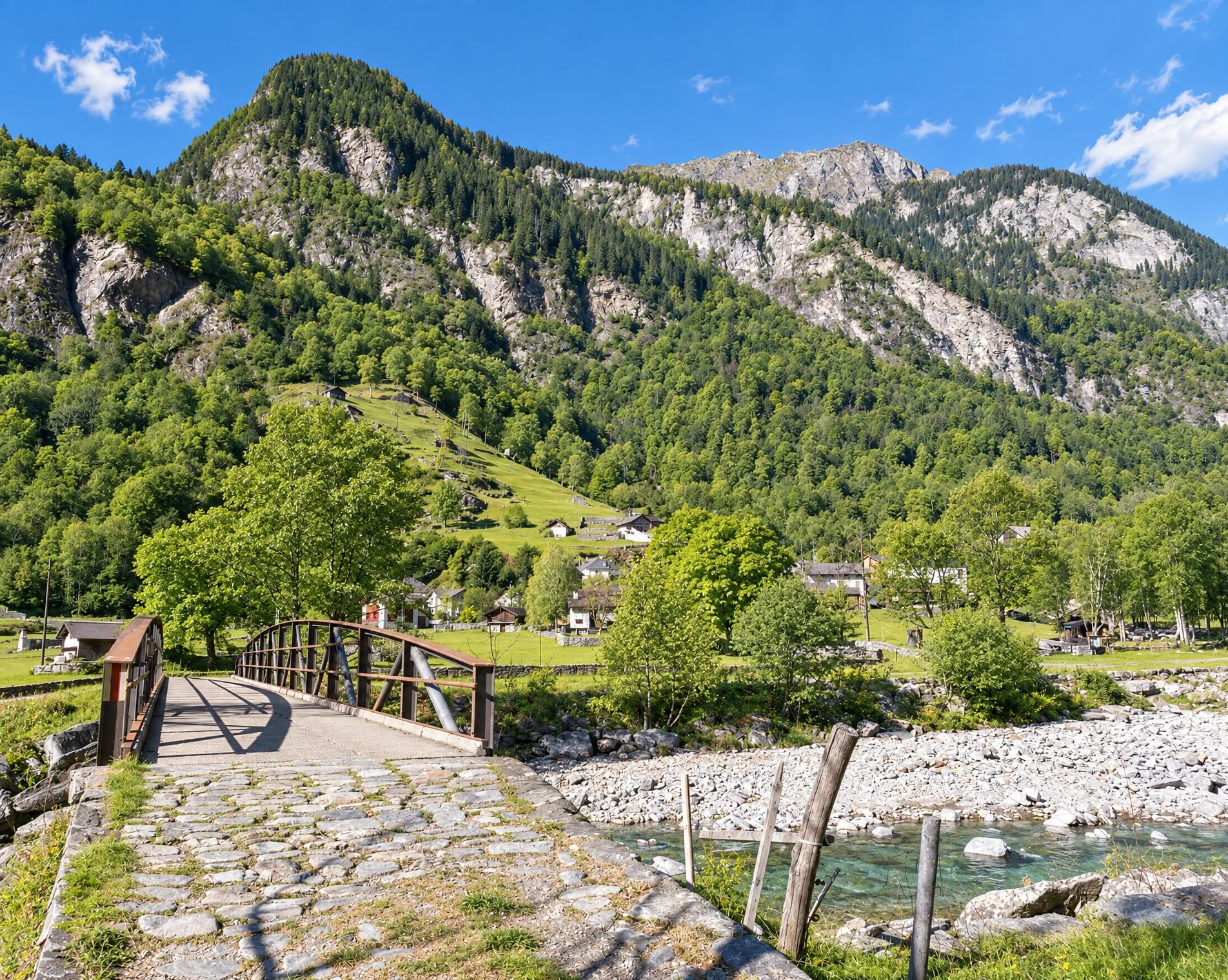
At times typically alpine, at times almost Mediterranean: an unexpectedly diverse landscape awaits visitors to the Calanca Valley. While hiking through chestnut forests and hamlets, one can learn about the settlement history of the region, which has managed to preserve its originality.
The long mountain hike through the Calancatal begins at the Grono, Paese bus stop. The mountain hiking trail climbs from the village onto wooded slopes, steadily gaining elevation over the first few kilometres. It leads via Castaneda to Santa Maria in Calanca, where more open terrain briefly appears between the houses.
From there, stretches of woodland alternate with meadows and small settlements. Almost halfway along, the trail runs directly beside the Laghetto di Buseno; a little later, it passes through Buseno. Continuing up the valley with constant ascents and descents, it passes the Cappella di San Giovanni on the way to Arvigo, then leads via Selma towards Cauco. The long day adds up to around 22 kilometres, 1,250 metres of ascent and just over eight hours of walking.
Beyond Cauco, the forest once again becomes the defining companion. The Cappella della Madonna Addolorata stands directly beside the trail, before Santa Domenica and Augio herald the final stages to Rossa. Only at the very end does the route reach its highest point, at around 1,070 metres. Shortly afterwards, it ends in the village; the Rossa, Villaggio bus stop is close to the destination.
02/ Along the route
What's along the way
Where the route climbs and where it descends. Hover the profile to find the spot on the map.
03/ Conditions
Current conditions
What to know before you set off. Closures and snow are re-checked every day.
Castaneda - Buseno
From 11 Jan 2023 – Until 20 Aug 2027
Infolge Felssturz ist der Wanderweg Castaneda-Pciöt-Molina gesperrt. Bitte beachten Sie die Signalisation vor Ort.
Selma-Arvigo
From 28 Aug 2026 – Until 16 Oct 2026
Die Querung des Flusses Aurelia ist wegen einer defekten Brücke nicht möglich.
How we check: Every night we match the route against the official closures and detours from the Federal Roads Office (FEDRO). Any reported closure that touches the route shows up here.
How we check: We look up a live public transport connection from your starting point to the stop closest to the trailhead. If it ends further away, the nearest stop may be a cable car or bus that isn't running right now.
How we check: Snow depth estimated daily at the lowest and the highest point of the route. Estimates: check the situation on site.
04/ Getting there
Getting there
From your door to the trailhead and home again, by train and bus or by car. Computed live from the timetable.
Or from
Outbound
Return
05/ Weather
Weather on the way
Forecast for the lowest and the highest point of the route.
Weather
06/ Trail & landscape
Trail & landscape
Which paths you walk on and the landscape they lead through.
07/ Snow
Snow on the route
Snow depths, new snow and forecast. Estimates: check the situation on site before you set off.
Snow Info
Comparative snow depth is only available from November 1 to June 30.
08/ Export
Take the route with you
Load the track onto your GPS device, print a route sheet for the trail or send the route to your hiking group.
Share
Send the link to friends or your hiking group.
Export GPX File
For hiking apps, GPS watches and navigation devices.
Print Route Sheet
A4 with map, elevation profile, waypoints and emergency numbers.