Hike /Schweiz Mobil
Chemin des Bisses
Martigny (Col des Planches)Grimentz
- Distance
- 105.0 km
- Duration
- –
- Ascent
- 4700 m
- Descent
- 4600 m
- Difficulty
- Easy
- Fitness
- Moderate
- Route type
- One way
- Season
- May - October
01/ Overview
The route
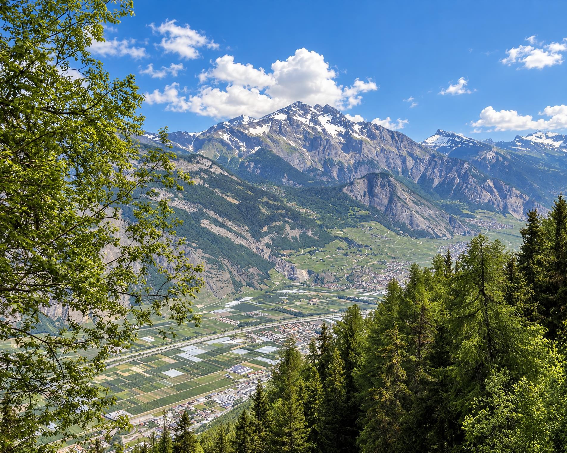
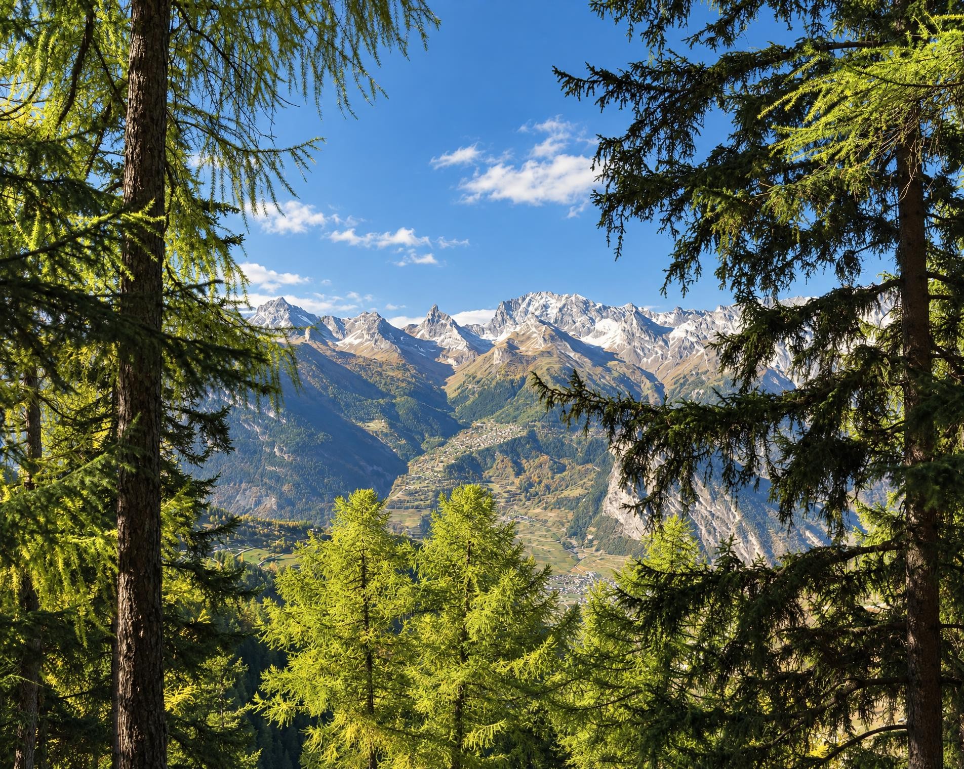
The skilfully laid «bisses» irrigation channels are evidence of Valais history and culture. Fabulous flora along the way, the babbling water so soothing. The «Chemin des Bisses», a hike for all senses, follows the holy waters.
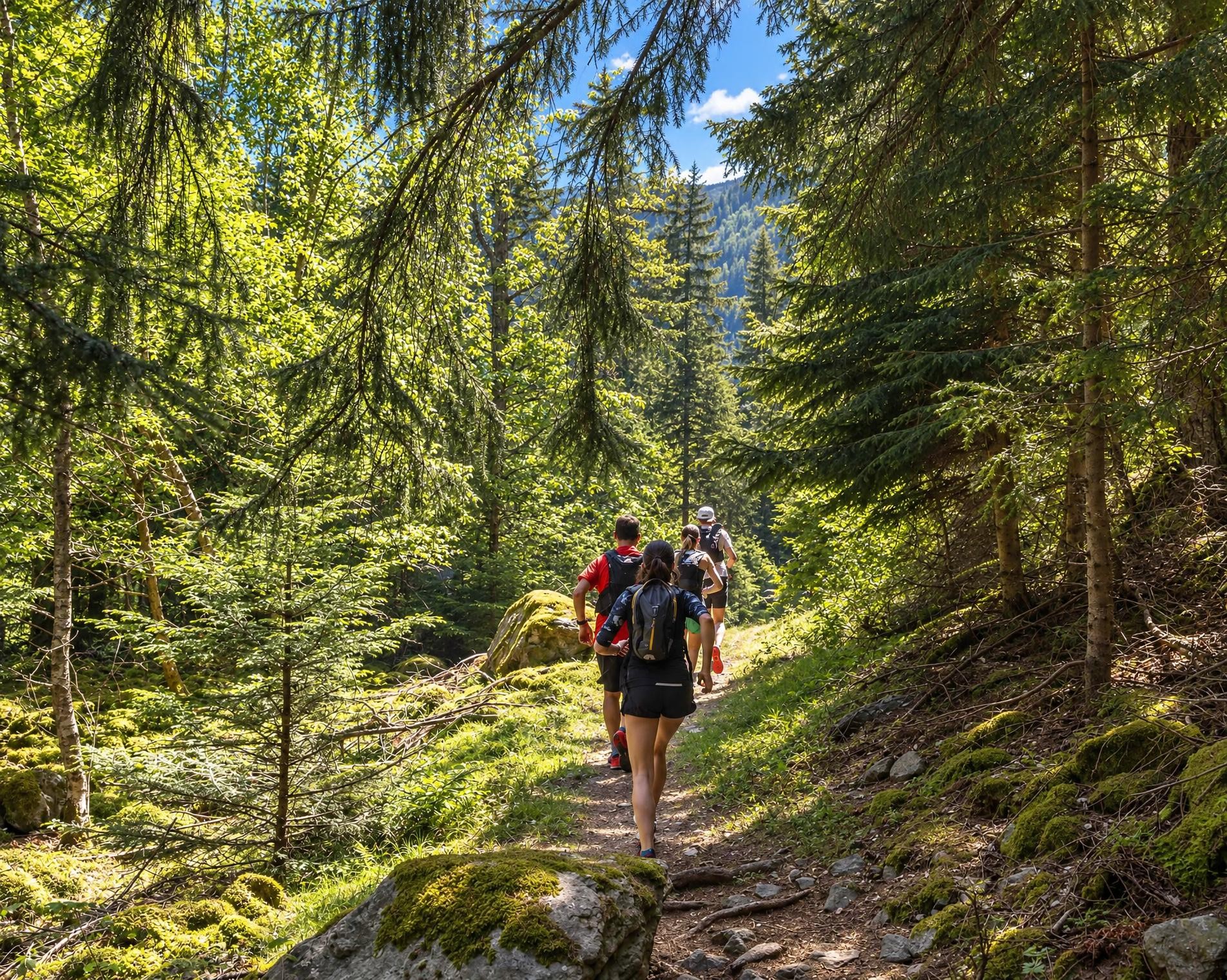
The long high-level hike starts at the Col-des-Planches stop, on the pass ridge between the Rhône Valley and Val de Bagnes. Forest paths and open pastures lead to Col du Lein and onwards to the highest point of the route at around 1,780 m. The trail then follows the Grand Bisse de Saxon for several kilometres.
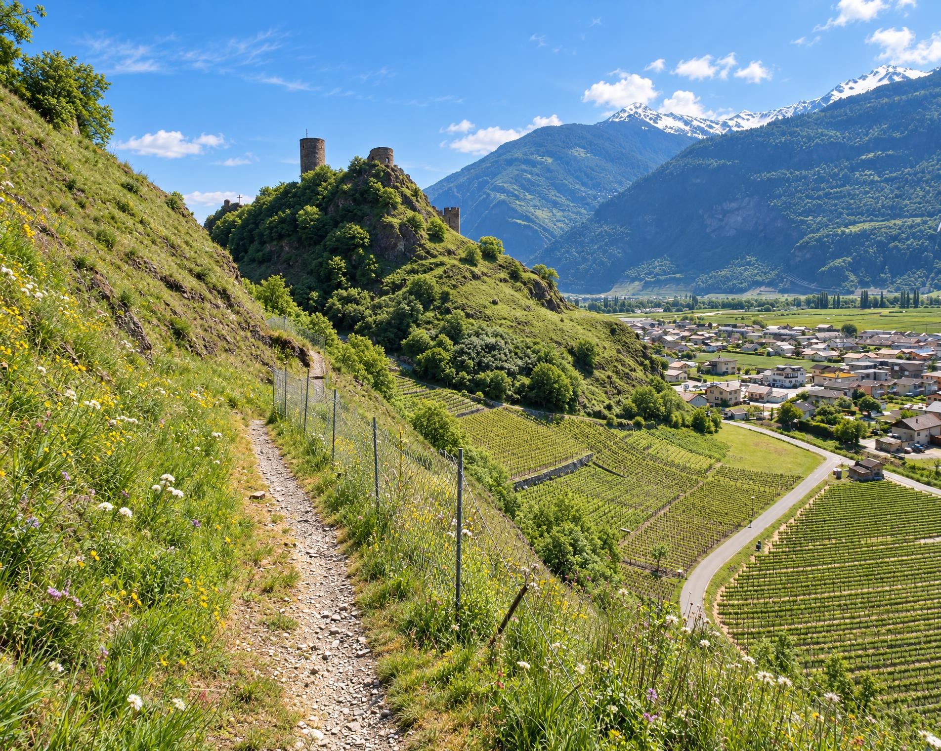
Through constant ups and downs, forests and meadows alternate with Valais mountain villages. In Hérémence, the route passes Saint-Nicolas Church, a major work of modern Swiss architecture. Beyond St-Martin, the hiking trail runs alongside the Bisse de Tsa Crêta in places before reaching Nax.
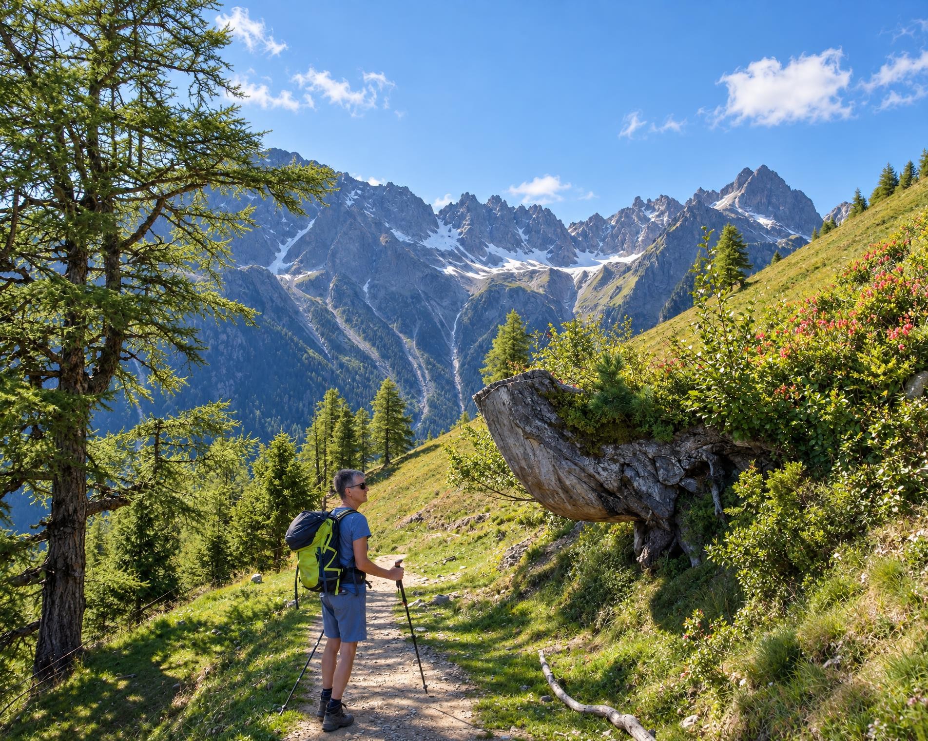
Later, the Bisse de Vercorin picks up the thread again. The route continues through forest and across pastures to Vercorin, then via Pinsec and St-Jean into Val d’Anniviers. After around 105 km and a good 35 hours, the tour ends in Grimentz, near the Carovilla stop. With around 4,700 metres of ascent, this is an extensive multi-day tour on well-marked hiking trails throughout.
02/ Along the route
What's along the way
Where the route climbs and where it descends. Hover the profile to find the spot on the map.
03/ Conditions
Current conditions
What to know before you set off. Closures and snow are re-checked every day.
Anniviers: Chemin des Bisses
From 15 May 2025 – Until 30 Sept 2026
Nendaz: Bisse de Vex - Planchouet - Le Chity
From 15 Aug 2025 – Until 31 Oct 2026
Sturzflut, die die Brücke über den Doussin zerstört hat.
Mayoux-Pinsec
From 18 Sept 2025 – Until 11 Oct 2026
Vercorin: Les Voualans
From 21 Jul 2026 – Until 30 Oct 2026
Vercorin: Les Ravines
From 28 Jul 2026 – Until 2 Oct 2026
How we check: Every night we match the route against the official closures and detours from the Federal Roads Office (FEDRO). Any reported closure that touches the route shows up here.
How we check: We look up a live public transport connection from your starting point to the stop closest to the trailhead. If it ends further away, the nearest stop may be a cable car or bus that isn't running right now.
How we check: Snow depth estimated daily at the lowest and the highest point of the route. Estimates: check the situation on site.
04/ Getting there
Getting there
From your door to the trailhead and home again, by train and bus or by car. Computed live from the timetable.
Or from
Outbound
Return
05/ Weather
Weather on the way
Forecast for the lowest and the highest point of the route.
Weather
06/ Trail & landscape
Trail & landscape
Which paths you walk on and the landscape they lead through.
07/ Snow
Snow on the route
Snow depths, new snow and forecast. Estimates: check the situation on site before you set off.
Snow Info
Comparative snow depth is only available from November 1 to June 30.
08/ Export
Take the route with you
Load the track onto your GPS device, print a route sheet for the trail or send the route to your hiking group.
Share
Send the link to friends or your hiking group.
Export GPX File
For hiking apps, GPS watches and navigation devices.
Print Route Sheet
A4 with map, elevation profile, waypoints and emergency numbers.