Hike /Schweiz Mobil
Flughafen-Rundweg
Kloten, Zürich Flughafen
- Distance
- 17.0 km
- Duration
- 4:00 h
- Ascent
- 100 m
- Descent
- 100 m
- Difficulty
- Moderate
- Fitness
- Easy
- Route type
- Loop
01/ Overview
The route
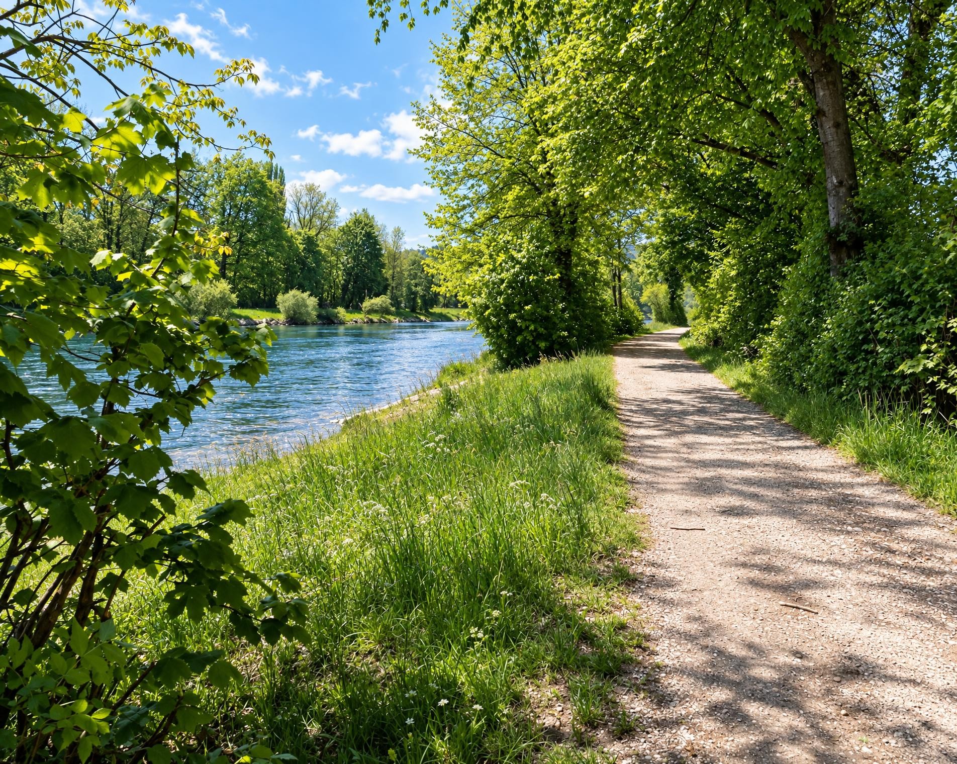
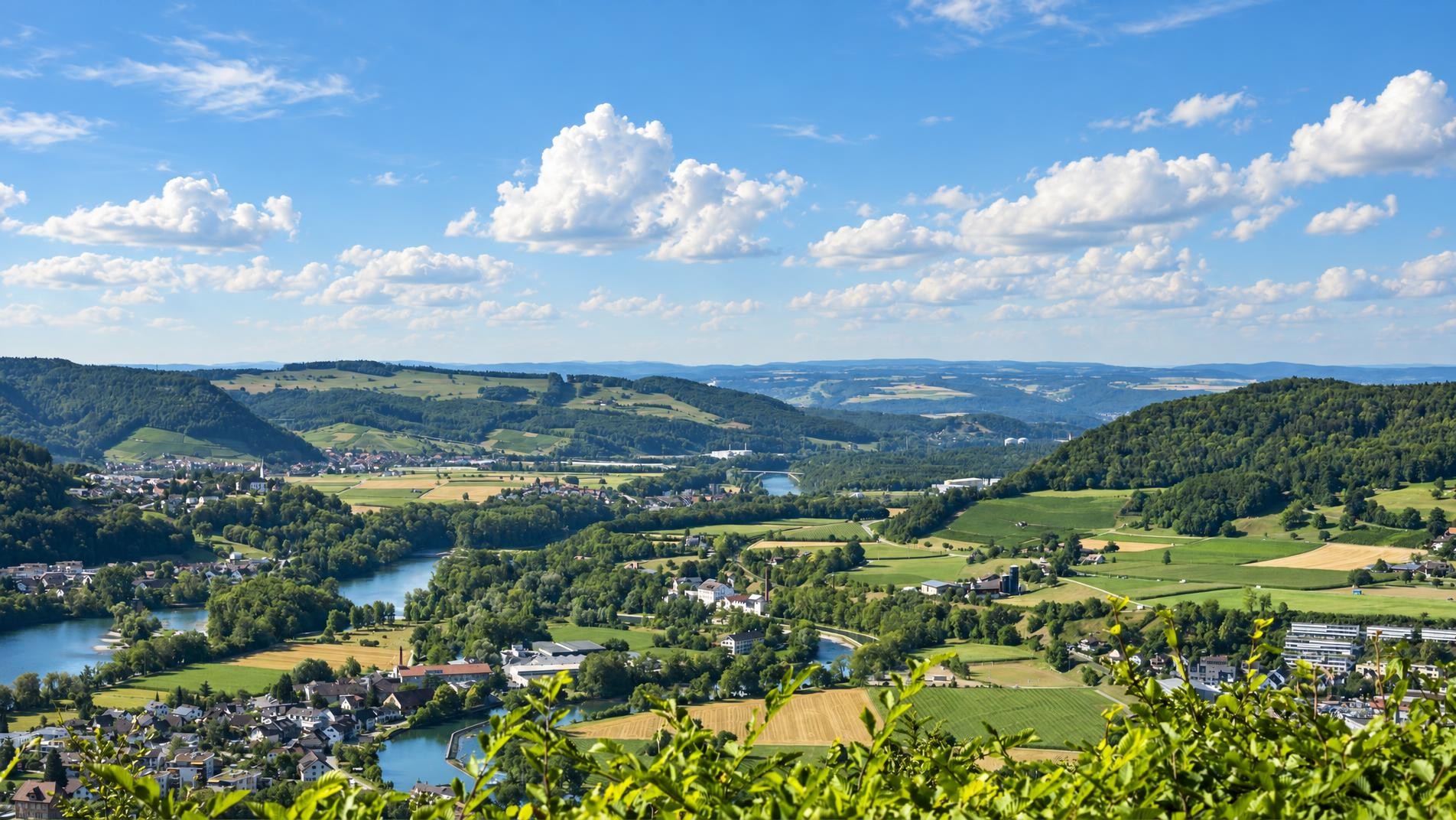
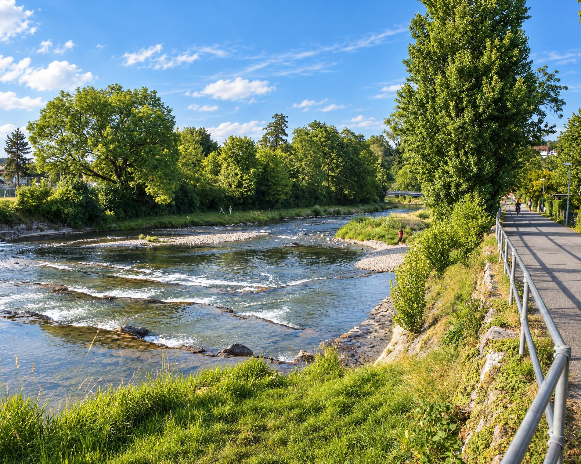
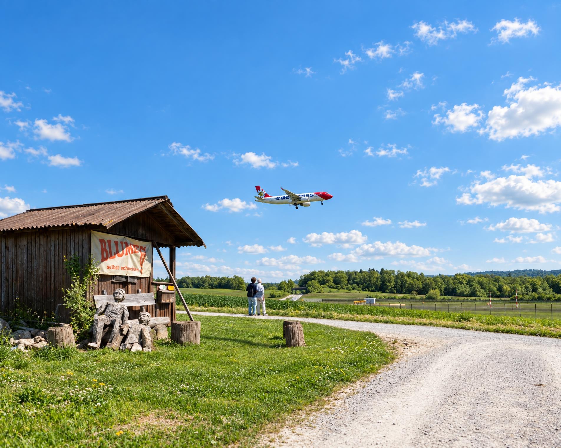
The circular tour around Zürich-Kloten airport is a popular excursion, not least because of the specially created vantage points around the airport areal. This easy route takes you through a wonderful natural world, in places alongside the River Glatt.
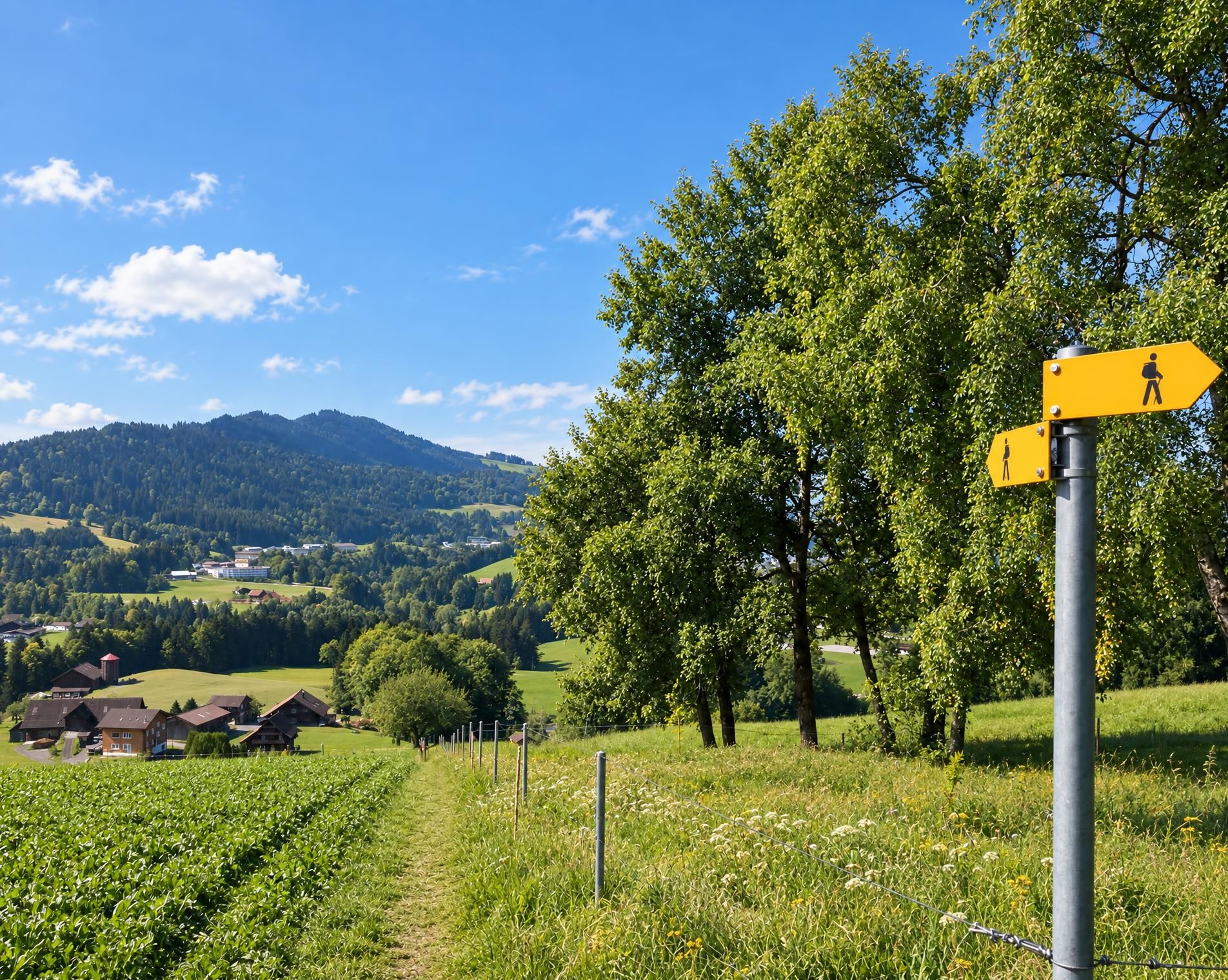
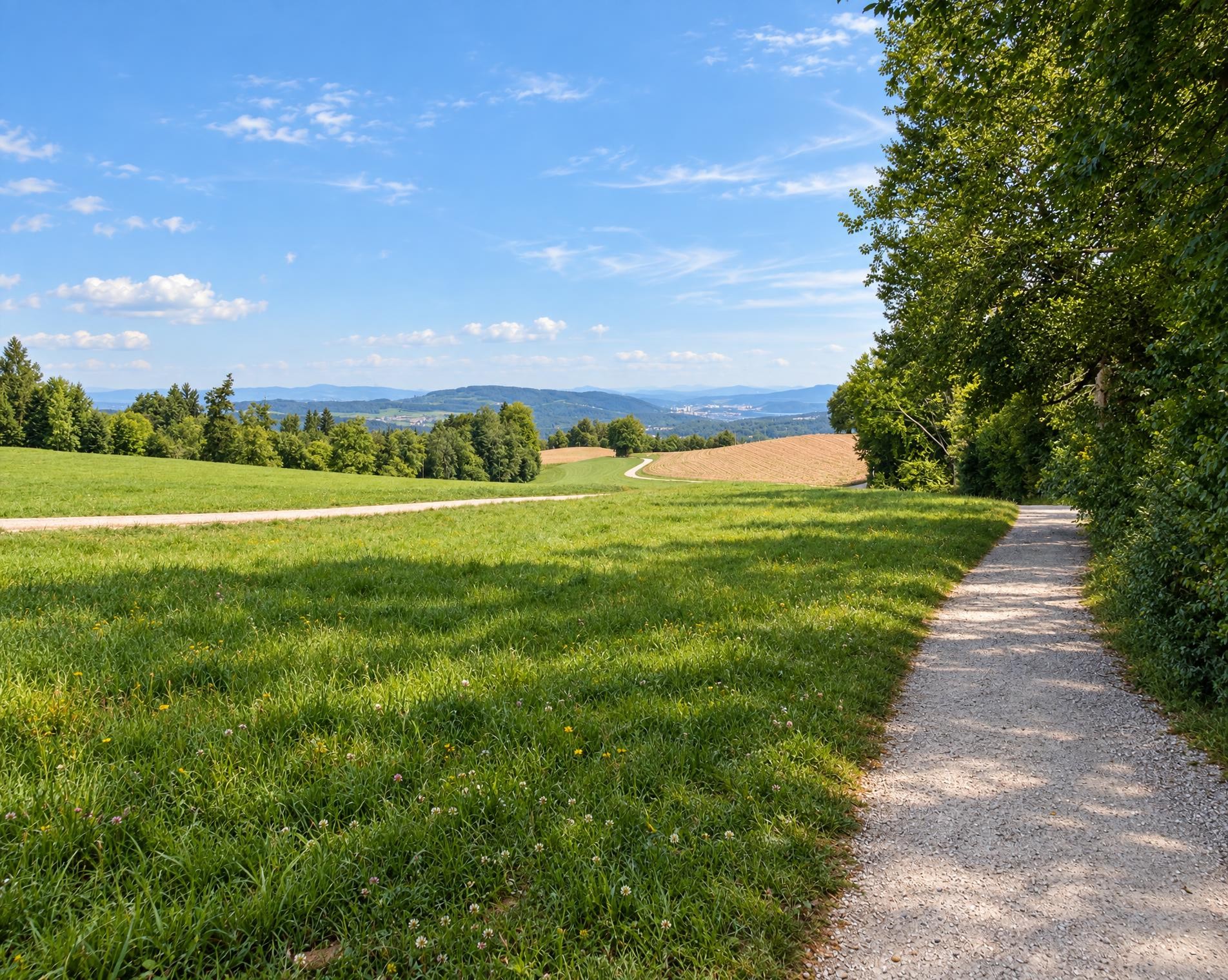
The 17-kilometre circuit begins at Zürich Flughafen railway station. It initially leads out of the airport grounds and reaches the Himmelbach after around 3 kilometres. Open meadows and fields now dominate the landscape. The hiking trail follows the stream through the flat terrain for quite some time, at points accompanied by the Saumgraben.
Around halfway, the route reaches its highest point at approximately 440 metres. The small difference in elevation characterises the entire hike: the total ascent amounts to only around 100 metres. Marked hiking trails alternate several times with connecting paths outside the signposted hiking network. The route remains largely in open terrain before later drawing closer to the settlement again.
Towards the end, the airport comes back into view. Between access roads and buildings, the circuit closes after just over four hours at Zürich Flughafen railway station. The appeal of the hike lies in the contrast between the transport hub, the stream and the surprisingly expansive open spaces.
02/ Along the route
What's along the way
Where the route climbs and where it descends. Hover the profile to find the spot on the map.
03/ Conditions
Current conditions
What to know before you set off. Closures and snow are re-checked every day.
Rümlang / Glattufer, hindernisfreier Weg
From 4 Apr 2025 – Until 31 Dec 2026
Der Wanderweg ist infolge Aufwertung der Glatt gesperrt. Der hindernisfreie Wanderweg 896 kann von Süden her bis zum Flughafengefängnis/Brücke normal benutzt werden. Danach erfolgt eine Umleitung via Flughofstrasse nach Rümlang.
How we check: Every night we match the route against the official closures and detours from the Federal Roads Office (FEDRO). Any reported closure that touches the route shows up here.
How we check: We look up a live public transport connection from your starting point to the stop closest to the trailhead. If it ends further away, the nearest stop may be a cable car or bus that isn't running right now.
How we check: Snow depth estimated daily at the lowest and the highest point of the route. Estimates: check the situation on site.
04/ Getting there
Getting there
From your door to the trailhead and home again, by train and bus or by car. Computed live from the timetable.
Or from
Outbound
Return
05/ Weather
Weather on the way
Forecast for the lowest and the highest point of the route.
Weather
06/ Trail & landscape
Trail & landscape
Which paths you walk on and the landscape they lead through.
07/ Snow
Snow on the route
Snow depths, new snow and forecast. Estimates: check the situation on site before you set off.
Snow Info
Comparative snow depth is only available from November 1 to June 30.
08/ Export
Take the route with you
Load the track onto your GPS device, print a route sheet for the trail or send the route to your hiking group.
Share
Send the link to friends or your hiking group.
Export GPX File
For hiking apps, GPS watches and navigation devices.
Print Route Sheet
A4 with map, elevation profile, waypoints and emergency numbers.