Hike /Schweiz Mobil
Promenade du Lac Léman
Genève
- Distance
- 3.0 km
- Duration
- 40 min
- Ascent
- 10 m
- Descent
- 10 m
- Difficulty
- Easy
- Fitness
- Easy
- Route type
- One way
01/ Overview
The route
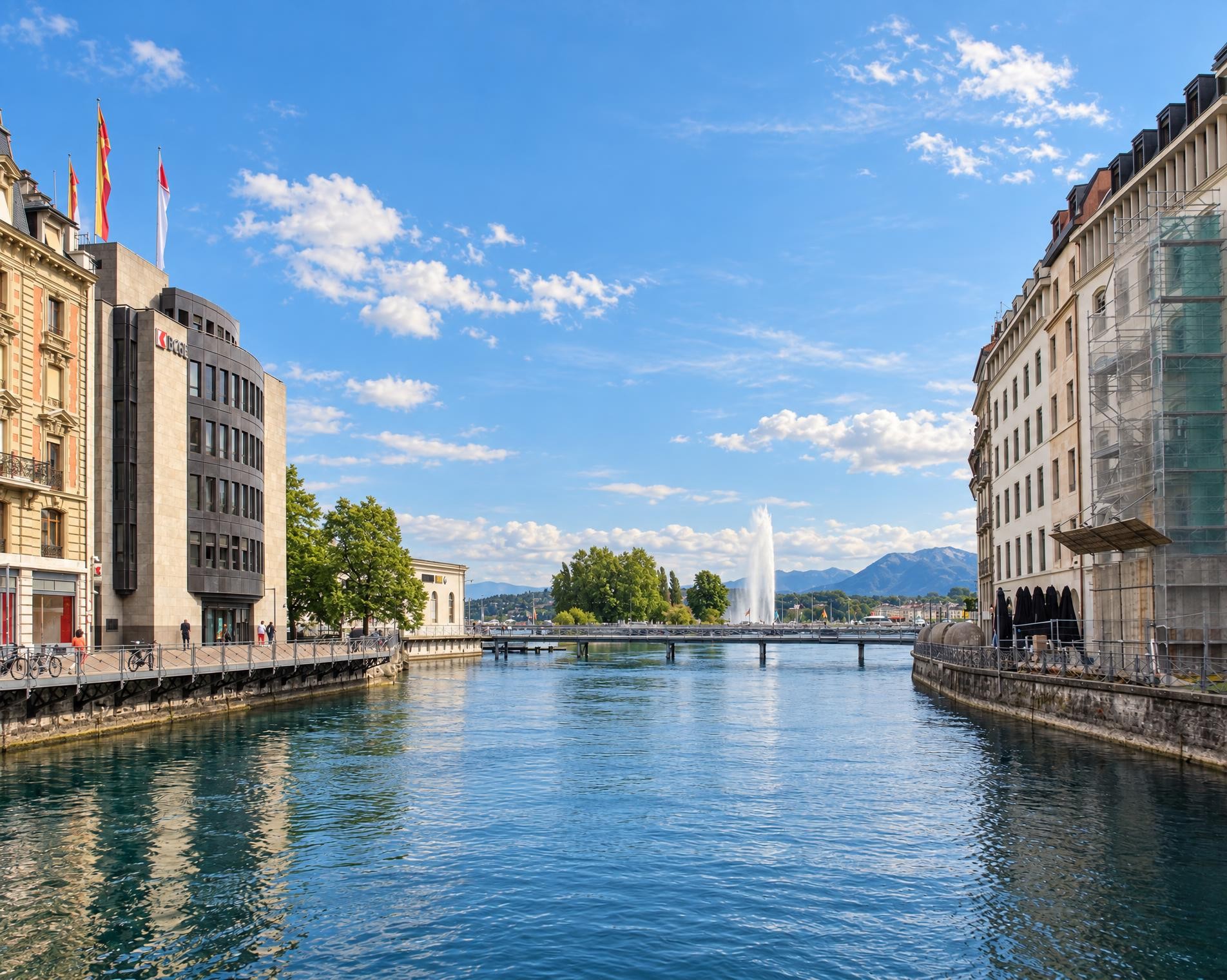
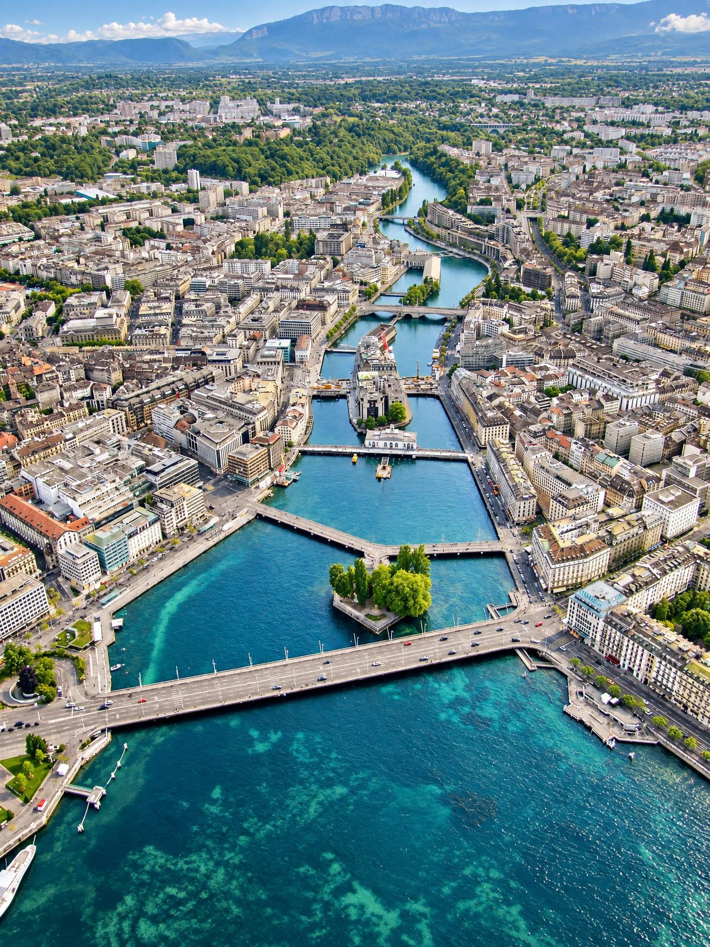
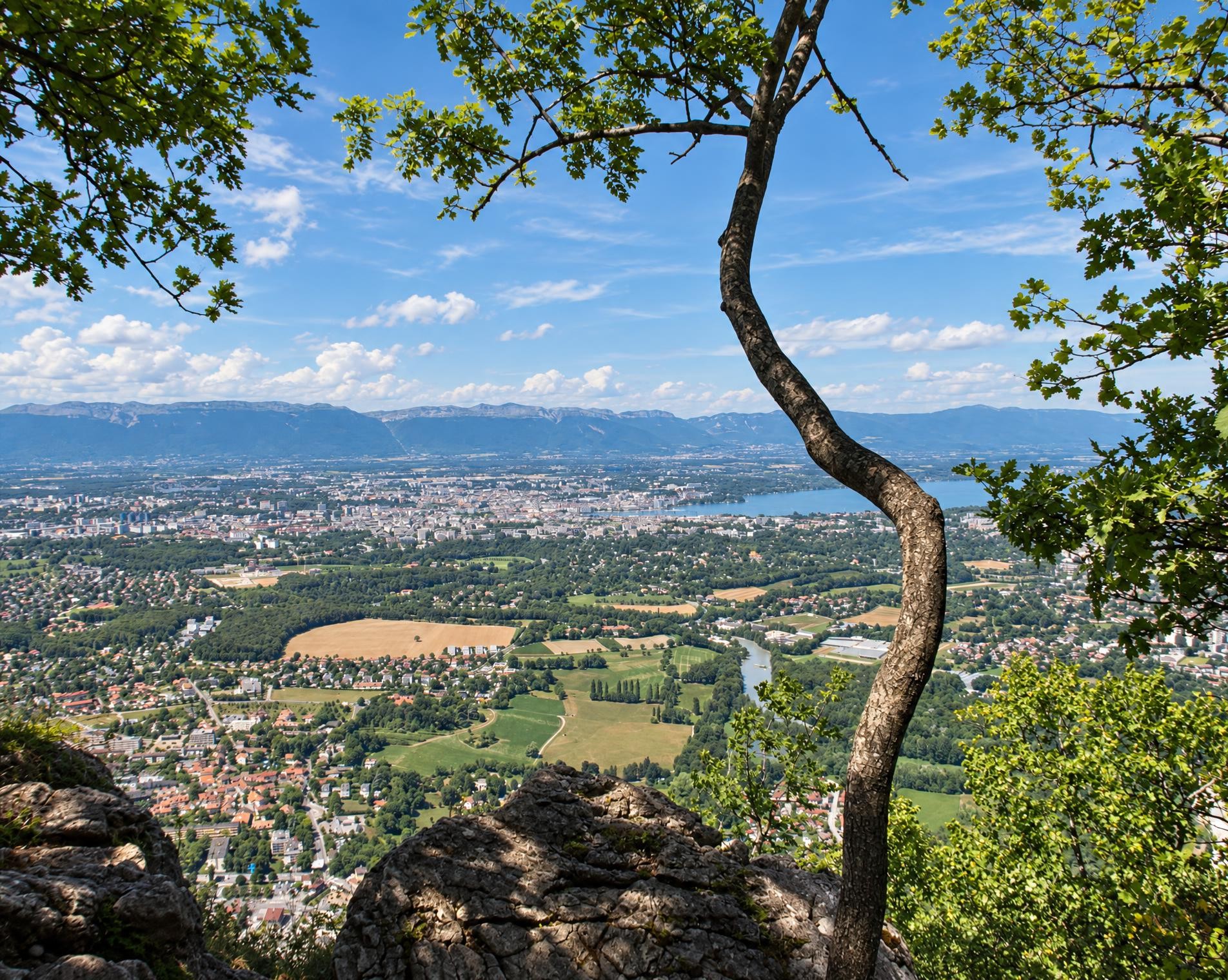
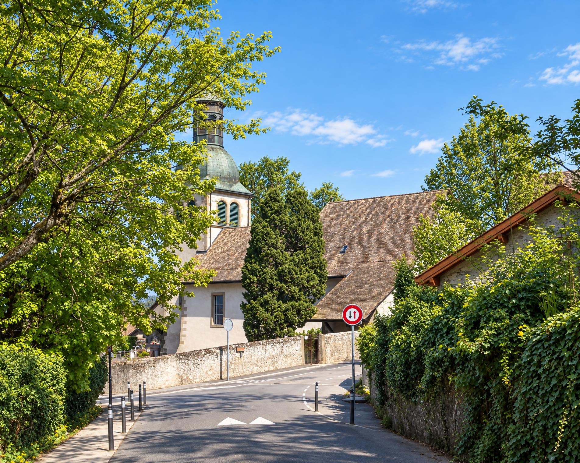
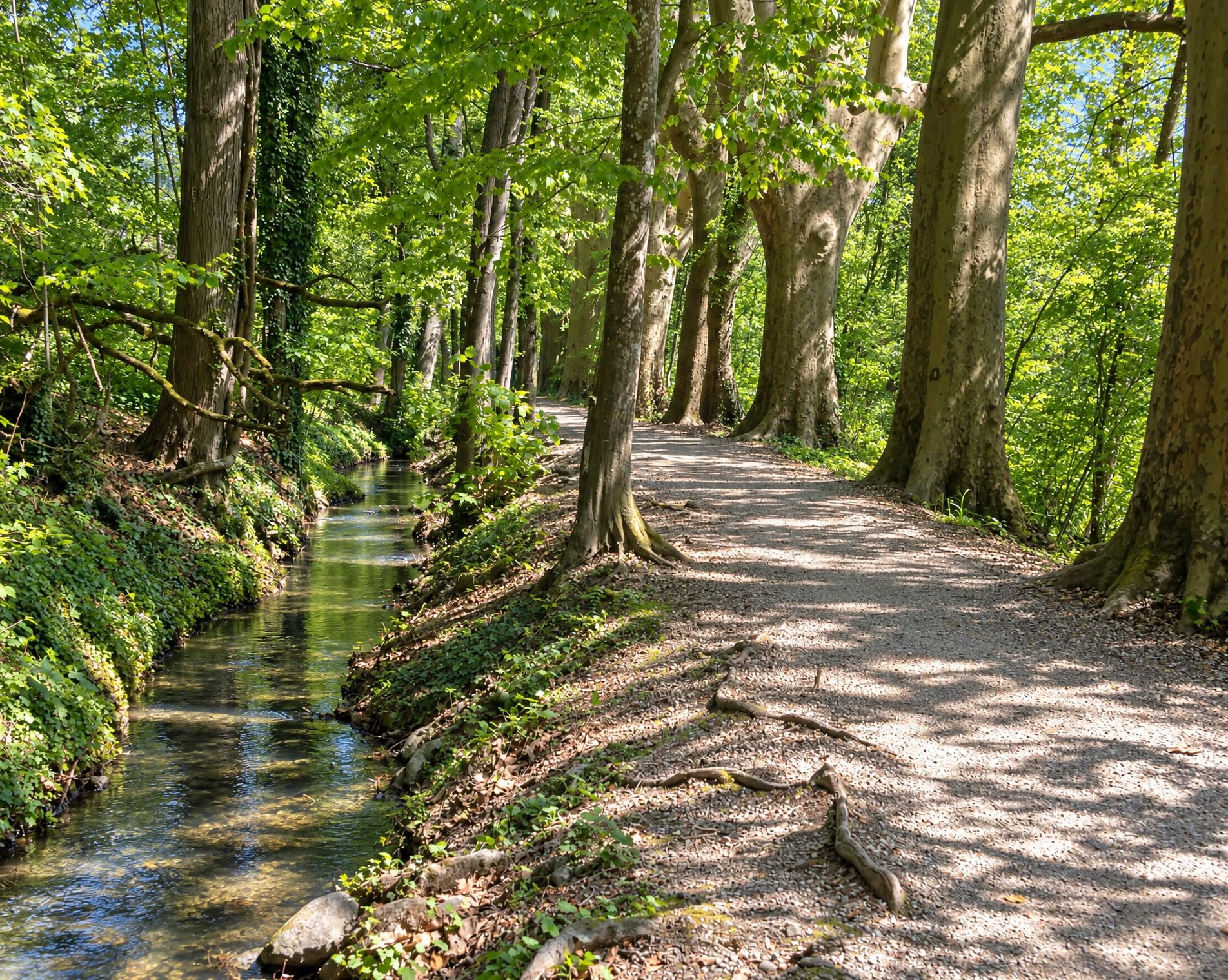
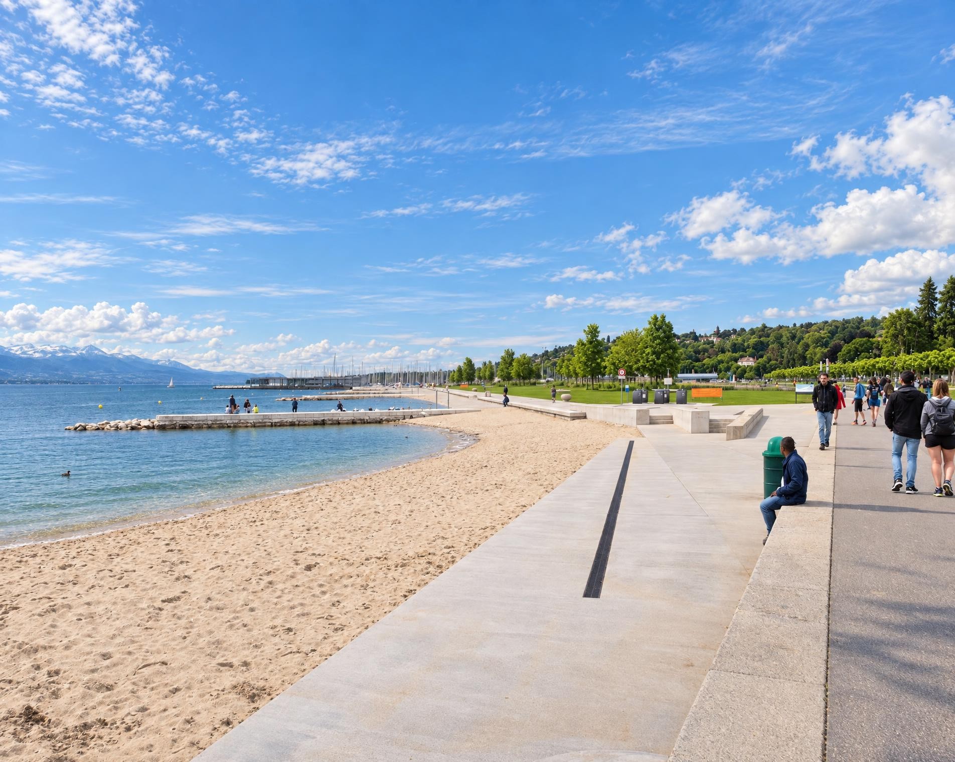
On a tour of Geneva, you soon realize that the vibrant metropolis also offers wonderful locations in natural surroundings. Combined with the urban background, the attractive promenade alongside the lake, is the ideal place to take a stroll.
At around 380 m, the highest point is right at the start at Gare Cornavin. From there, the city walk through Geneva takes just under 45 minutes. After only a few minutes, the route passes Holy Trinity Church. This Anglican church on Rue du Mont-Blanc holds its services in English. Shortly afterwards, the route reaches Lake Geneva, and the surroundings between the city and the lake become noticeably more open. The lake, which is of glacial origin, lies in both Switzerland and France; it is the largest lake by surface area in the Alps and Pre-Alps.
With almost no elevation change, the route follows a broad path along the lake. Restaurant Les Pierres du Niton lies directly on the route, while further on, Fontaine du Port Noir provides drinking water right beside the path. Between the buildings, open spaces repeatedly offer access to the waterfront. After around three kilometres, the walk ends at Genève-Plage. From there, it is only a few steps to the bus stop of the same name.
02/ Along the route
What's along the way
Where the route climbs and where it descends. Hover the profile to find the spot on the map.
03/ Conditions
Current conditions
What to know before you set off. Closures and snow are re-checked every day.
How we check: Every night we match the route against the official closures and detours from the Federal Roads Office (FEDRO). Any reported closure that touches the route shows up here.
How we check: SLF only publishes its snow maps from November 1. Until then we roughly estimate the snow depth at the lowest and the highest point of the route every day from the nearest SLF measuring stations. Check the situation on site.
04/ Getting there
Getting there
From your door to the trailhead and home again, by train and bus or by car. Computed live from the timetable.
Or from
Outbound
Return
05/ Weather
Weather on the way
Forecast for the lowest and the highest point of the route.
Weather
06/ Trail & landscape
Trail & landscape
Which paths you walk on and the landscape they lead through.
Larches count as conifer forest here.
07/ Snow
Snow on the route
Snow depths, new snow and forecast. Estimates: check the situation on site before you set off.
Snow Info
08/ Export
Take the route with you
Load the track onto your GPS device, print a route sheet for the trail or send the route to your hiking group.
Share
Send the link to friends or your hiking group.
Export GPX File
For hiking apps, GPS watches and navigation devices.
Print Route Sheet
A4 with map, elevation profile, waypoints and emergency numbers.