Hike /Schweiz Mobil
Randa Hängebrückenweg
Randa
- Distance
- 7.0 km
- Duration
- 3:10 h
- Ascent
- 680 m
- Descent
- 680 m
- Difficulty
- Moderate
- Fitness
- Moderate
- Route type
- Loop
01/ Overview
The route
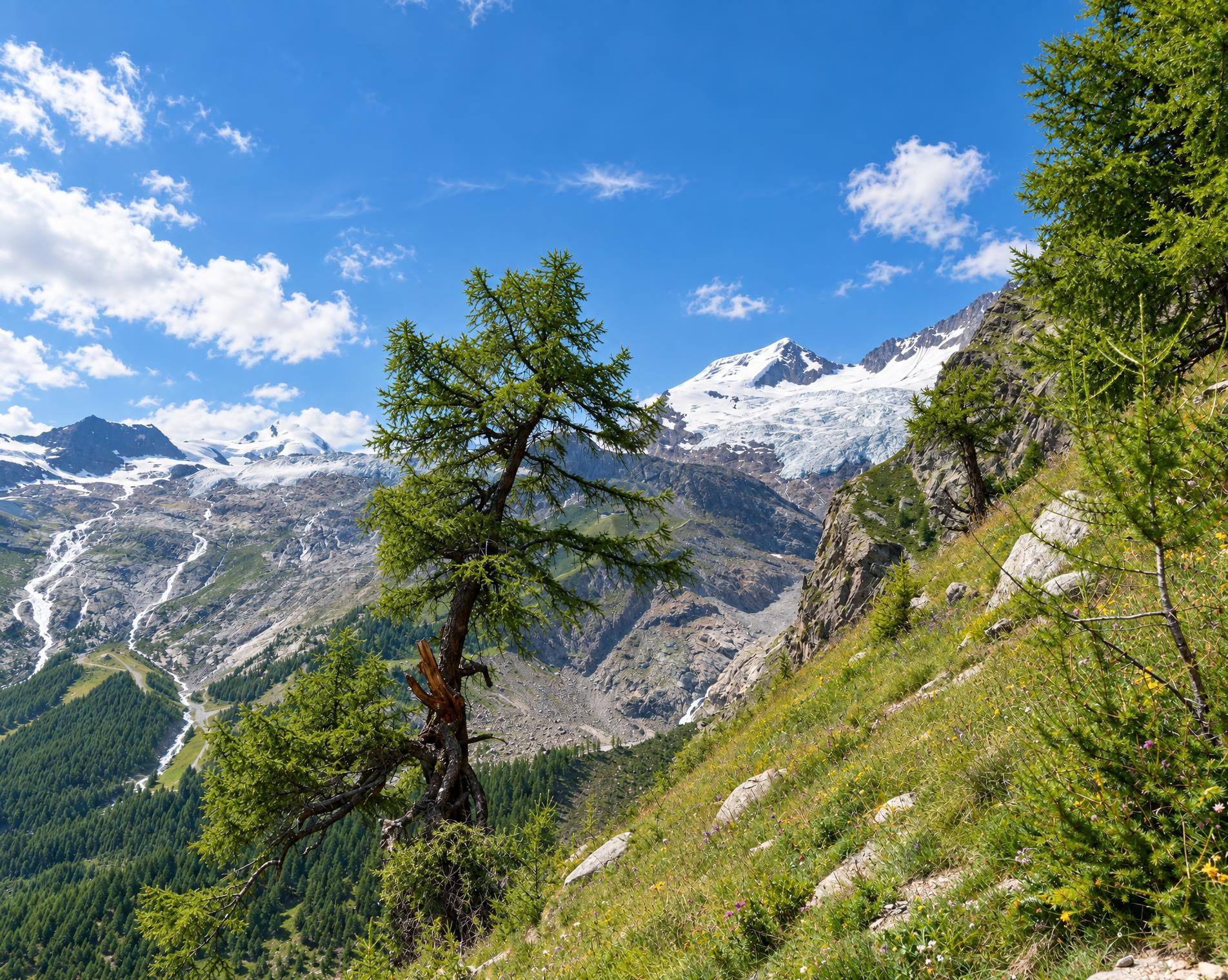
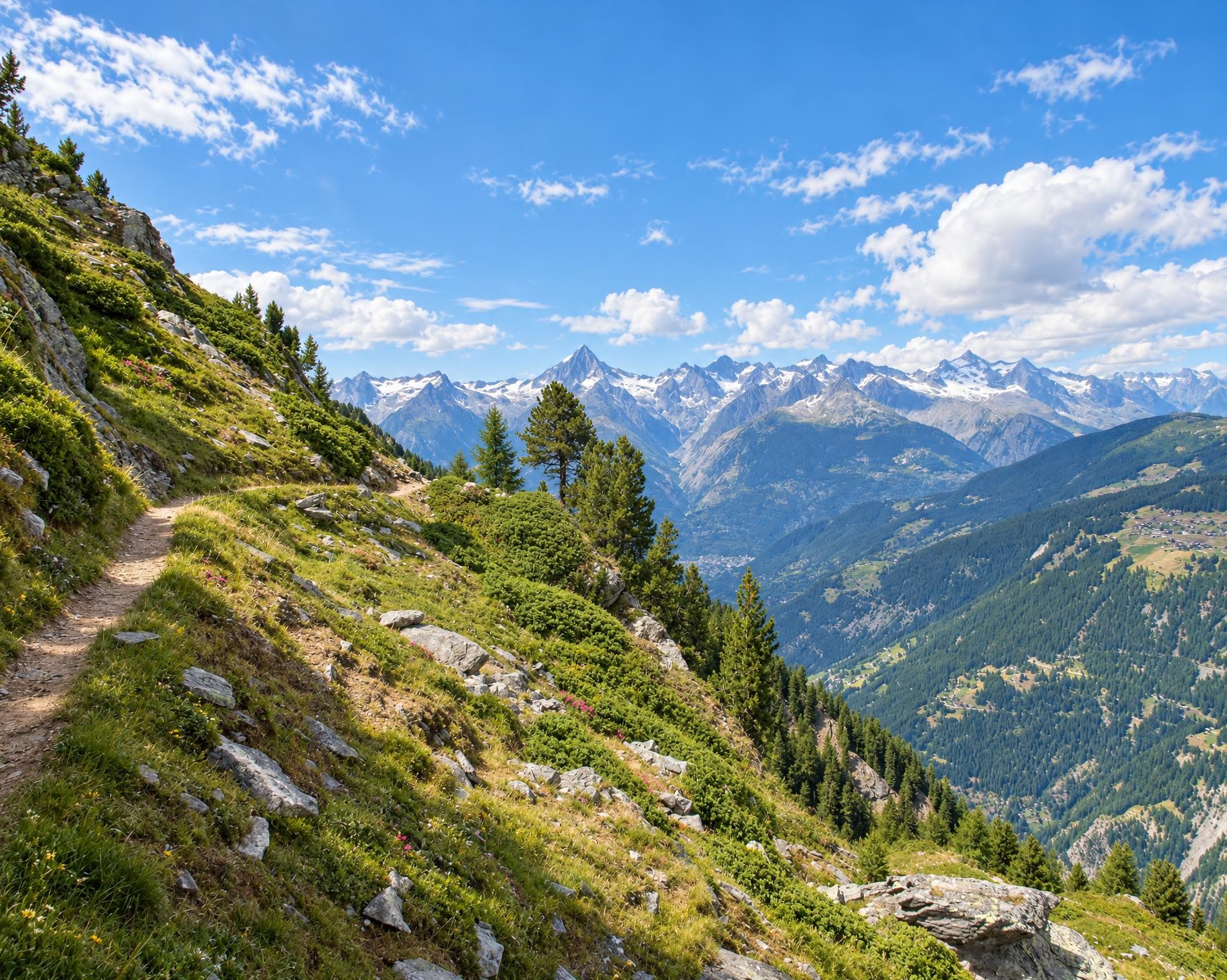
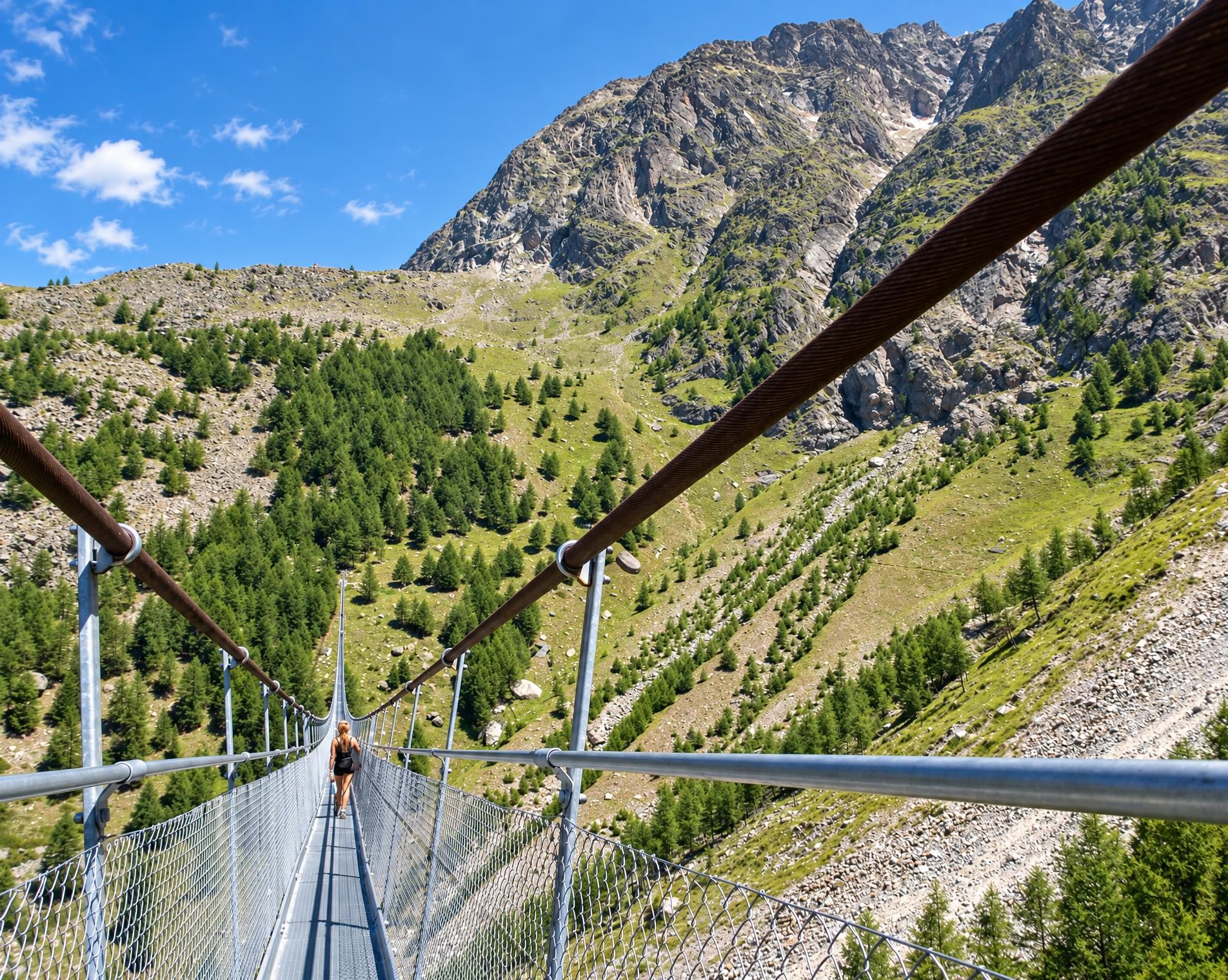
Are you prone to vertigo? Hopefully not. This loop tour takes you through larch forests and leads to an impressive record-breaking structure: the longest pedestrian suspension bridge in the Alps. It measures 494 metres, and at the highest point you find yourself 85 metres above the Grabengufer.
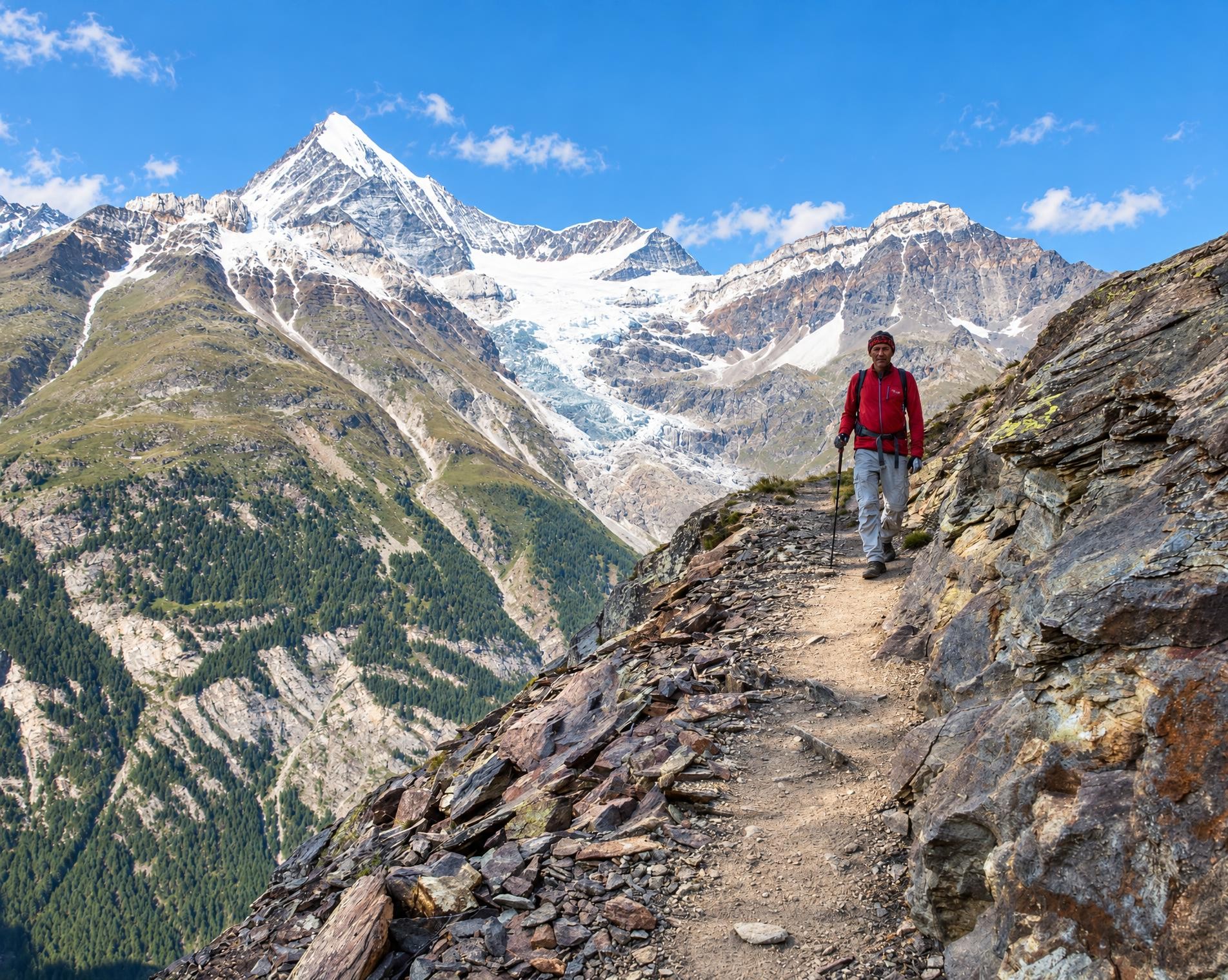
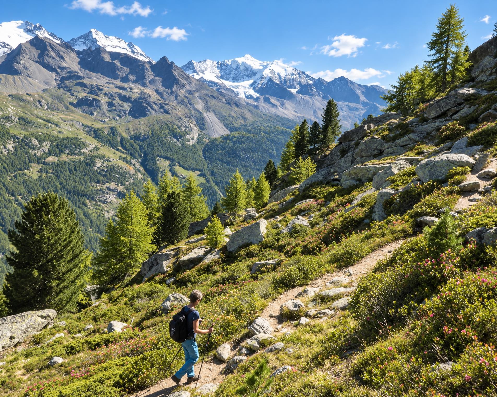
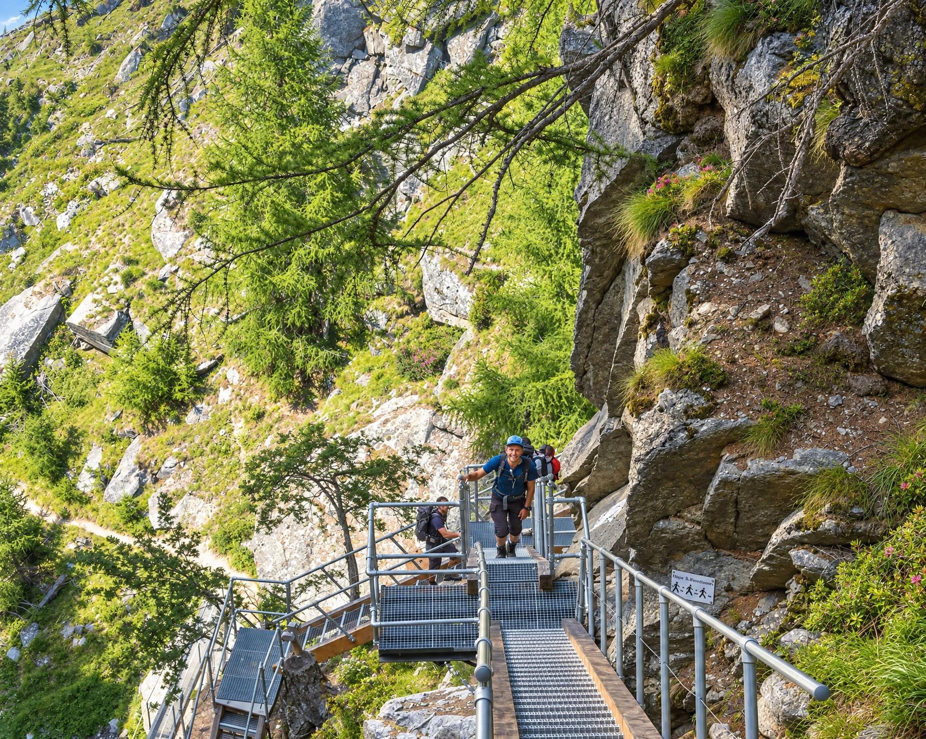
From Randa railway station, the hiking trail initially leads through the village before soon climbing uphill between the last houses. The route quickly gains elevation in the forest. After around two kilometres, the hiking trail becomes a white-red-white waymarked mountain trail, which defines the character of the medium-length circuit. The sustained ascent requires a good level of fitness, but remains manageable at around 700 metres of elevation gain in total.
Near Gross Haupt, the route reaches its highest point at just under 2,100 m. Here, the forest gives way to open terrain before the mountain trail heads downhill again. The descent leads back among the trees and eventually to the edge of Randa. Shortly before the finish, the trail passes the Church of St Sebastian. A little later, the seven-kilometre circuit ends back at the railway station. A little over three hours should be allowed for the hike.
02/ Along the route
What's along the way
Where the route climbs and where it descends. Hover the profile to find the spot on the map.
03/ Conditions
Current conditions
What to know before you set off. Closures and snow are re-checked every day.
How we check: Every night we match the route against the official closures and detours from the Federal Roads Office (FEDRO). Any reported closure that touches the route shows up here.
How we check: SLF only publishes its snow maps from November 1. Until then we roughly estimate the snow depth at the lowest and the highest point of the route every day from the nearest SLF measuring stations. Check the situation on site.
04/ Getting there
Getting there
From your door to the trailhead and home again, by train and bus or by car. Computed live from the timetable.
Or from
Outbound
Return
05/ Weather
Weather on the way
Forecast for the lowest and the highest point of the route.
Weather
06/ Trail & landscape
Trail & landscape
Which paths you walk on and the landscape they lead through.
Larches count as conifer forest here.
07/ Snow
Snow on the route
Snow depths, new snow and forecast. Estimates: check the situation on site before you set off.
Snow Info
08/ Export
Take the route with you
Load the track onto your GPS device, print a route sheet for the trail or send the route to your hiking group.
Share
Send the link to friends or your hiking group.
Export GPX File
For hiking apps, GPS watches and navigation devices.
Print Route Sheet
A4 with map, elevation profile, waypoints and emergency numbers.