Hike /Schweiz Mobil
ViaSurprise
Dornach
- Distance
- 88.0 km
- Duration
- –
- Ascent
- 3500 m
- Descent
- 3500 m
- Difficulty
- Easy
- Fitness
- Moderate
- Route type
- Loop
- Season
- March - November
01/ Overview
The route
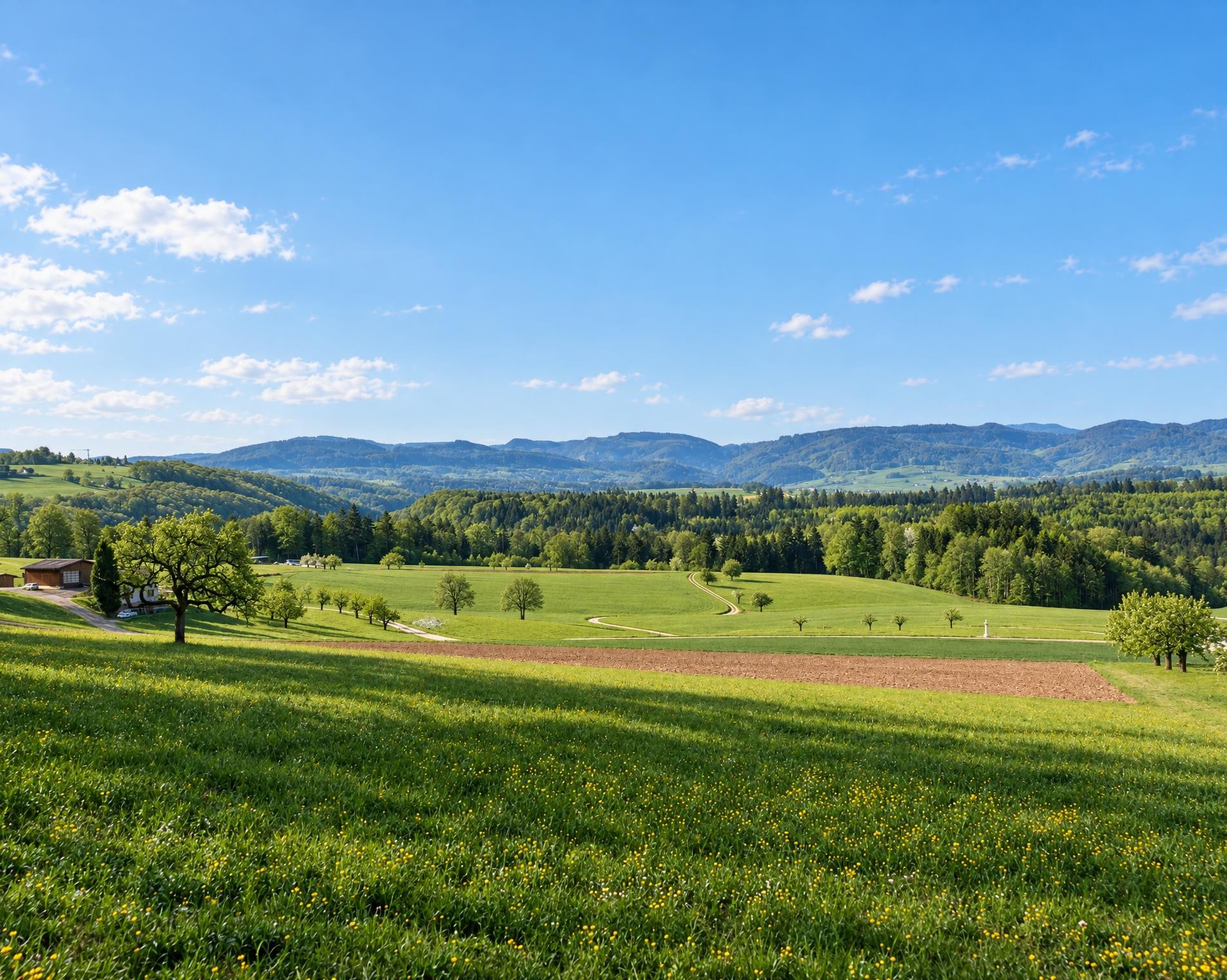
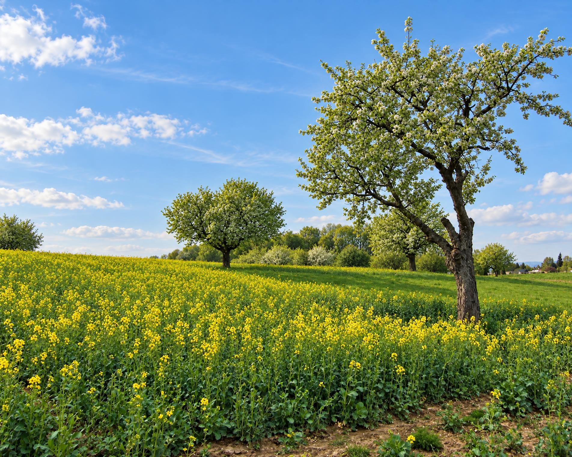
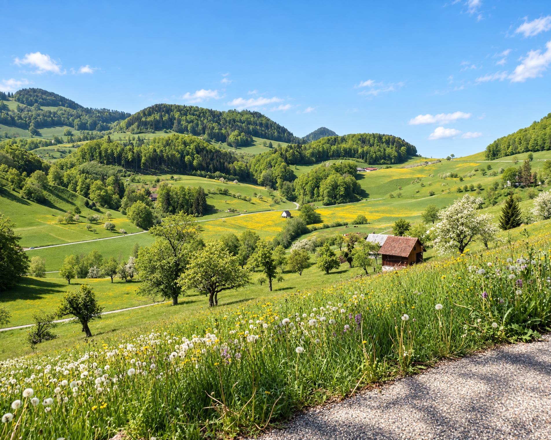
You will feel the power and beauty of nature when you explore the Solothurn and Basel Jura Mountains, and marvel again and again at the amazing sights along this 6-day round trip.
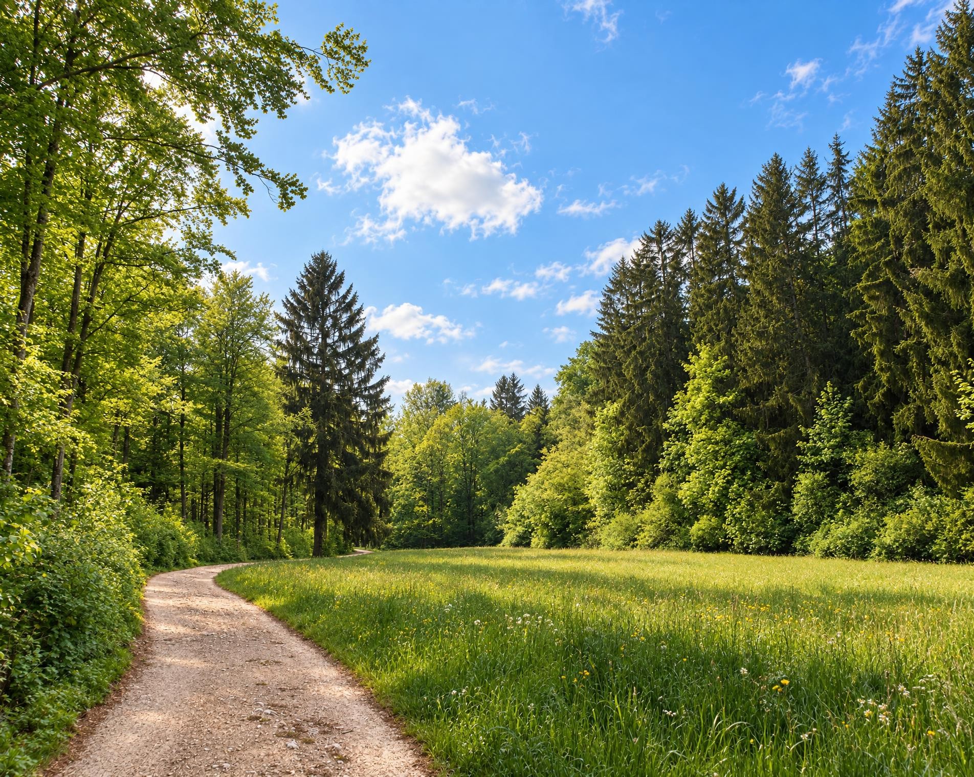
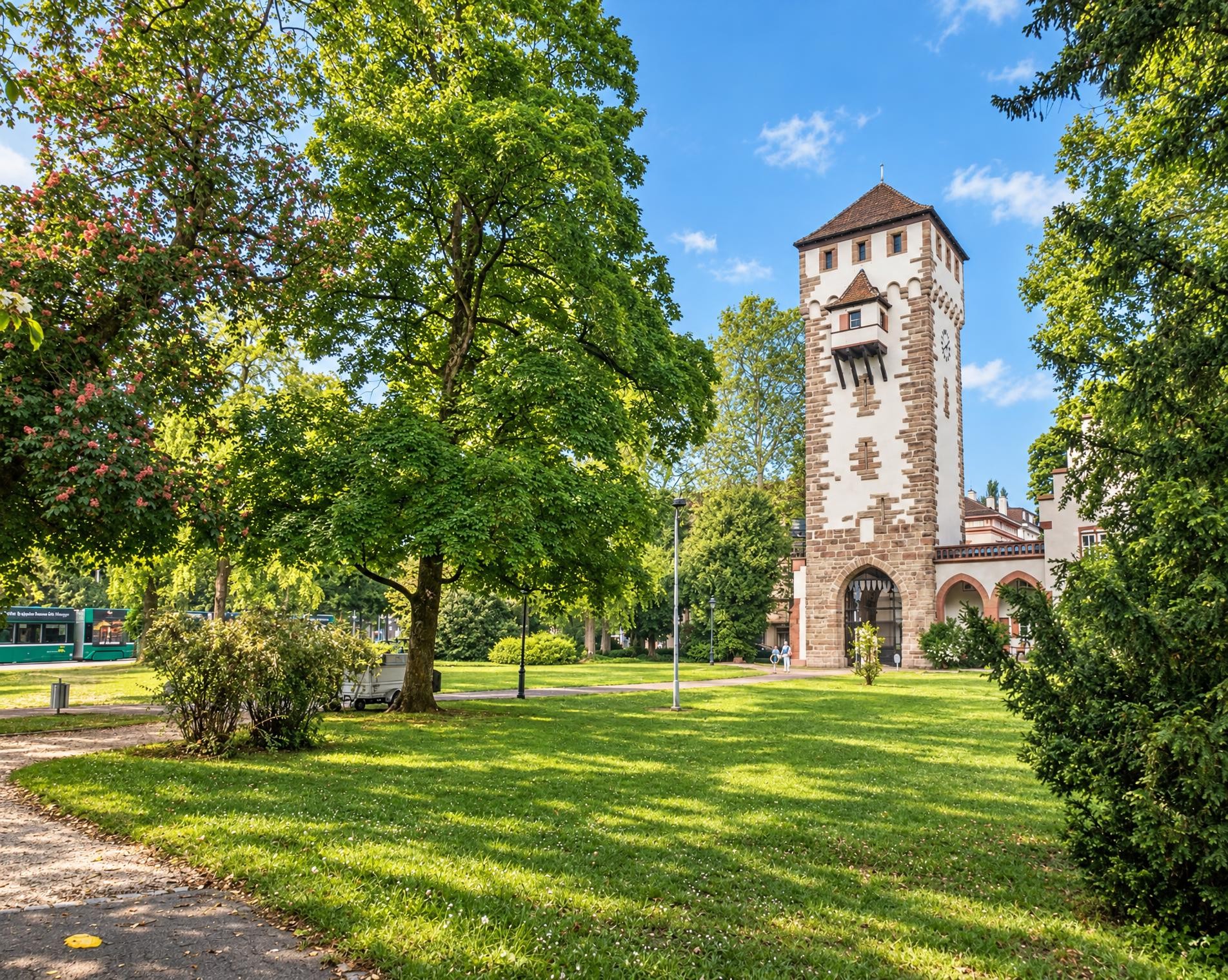
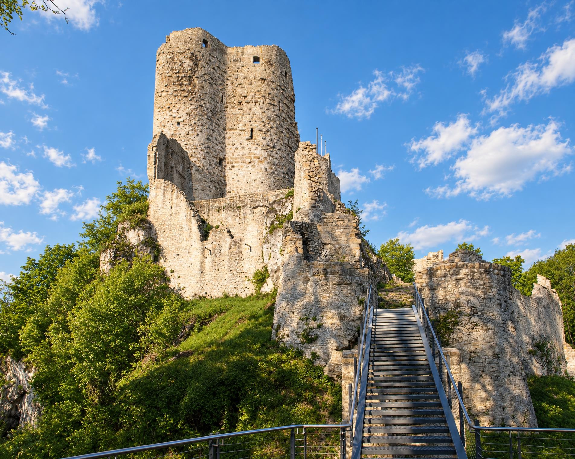
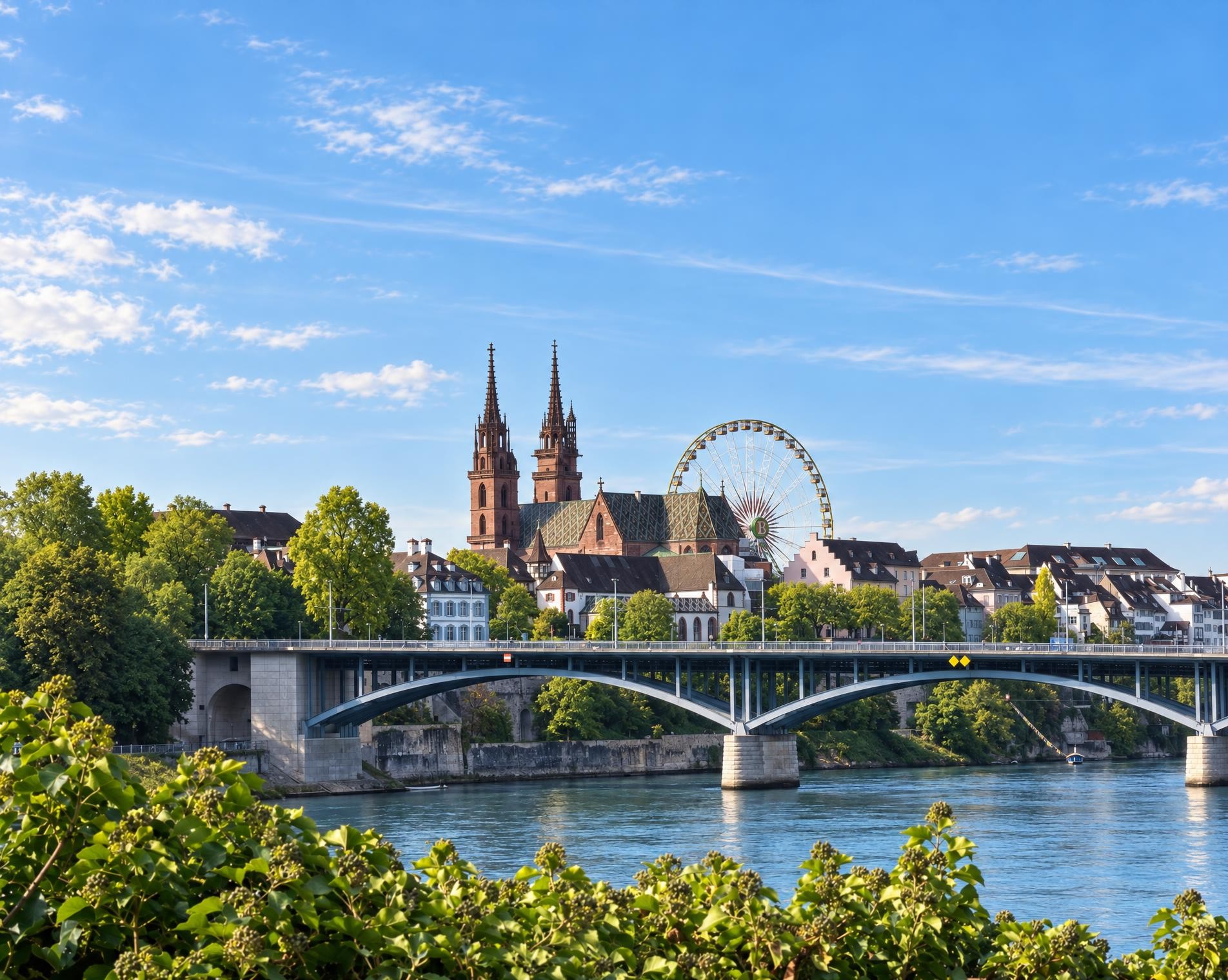
From the Dornach-Arlesheim stop, the route leads to Arlesheim and past the cathedral. The trail climbs through extensive forests to the Gempen plateau, where the Gempenturm offers far-reaching views. It then continues via Gempen and Seewen to the Basler Weiher, a small Jura lake, before passing through the Holzenberg forest to Reigoldswil.
From there, the route follows the Hintere Frenke for several kilometres before beginning the long ascent to the Jura heights. The trail runs via Vogelberg and Passwang to the Hohe Winde. At around 1'200 m, it is the highest point of the circuit. A long descent follows; later, the Riedengraben and Meltingerbach accompany the trail as far as Meltingen.
Forest, open pastures and villages alternate along the western arc. From Zwingen, the circuit leads via Blauen to Burg Rotberg and on to Mariastein. Wooded heights once again dominate the final section before the trail descends into the built-up area near Aesch. It then returns through the Birstal to the Dornach-Arlesheim stop.
02/ Along the route
What's along the way
Where the route climbs and where it descends. Hover the profile to find the spot on the map.
03/ Conditions
Current conditions
What to know before you set off. Closures and snow are re-checked every day.
Reigoldswil - Birchhübel - Wiedenmatt
From 30 Apr 2025 – Until 20 Dec 2026
Ermitage
From 10 Jul 2026 – Until 30 Sept 2026
Oberes Chaltbrunnental
From 4 Aug 2026 – Until 31 Dec 2026
Gefährdung durch dürre Bäume (stehendes Totholz).
How we check: Every night we match the route against the official closures and detours from the Federal Roads Office (FEDRO). Any reported closure that touches the route shows up here.
How we check: We look up a live public transport connection from your starting point to the stop closest to the trailhead. If it ends further away, the nearest stop may be a cable car or bus that isn't running right now.
How we check: Snow depth estimated daily at the lowest and the highest point of the route. Estimates: check the situation on site.
04/ Getting there
Getting there
From your door to the trailhead and home again, by train and bus or by car. Computed live from the timetable.
Or from
Outbound
Return
05/ Weather
Weather on the way
Forecast for the lowest and the highest point of the route.
Weather
06/ Trail & landscape
Trail & landscape
Which paths you walk on and the landscape they lead through.
07/ Snow
Snow on the route
Snow depths, new snow and forecast. Estimates: check the situation on site before you set off.
Snow Info
Comparative snow depth is only available from November 1 to June 30.
08/ Export
Take the route with you
Load the track onto your GPS device, print a route sheet for the trail or send the route to your hiking group.
Share
Send the link to friends or your hiking group.
Export GPX File
For hiking apps, GPS watches and navigation devices.
Print Route Sheet
A4 with map, elevation profile, waypoints and emergency numbers.