Hike /Schweiz Mobil
Walserweg
San BernardinoBrand (A)
- Distance
- 320.0 km
- Duration
- –
- Ascent
- 19600 m
- Descent
- 20200 m
- Difficulty
- Moderate
- Fitness
- Hard
- Route type
- One way
01/ Overview
The route
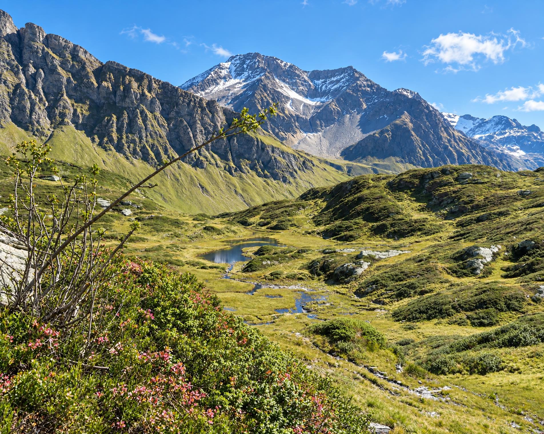
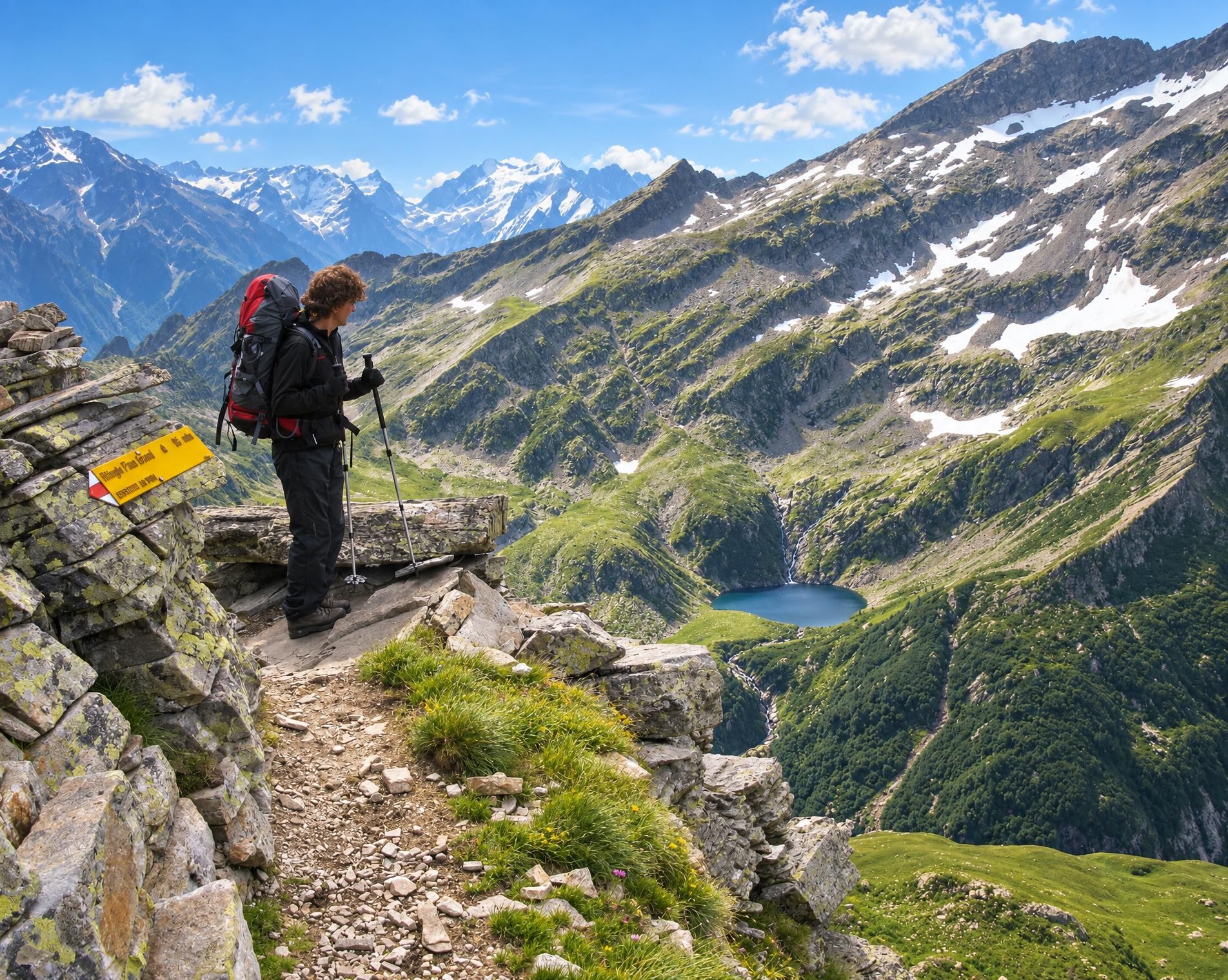
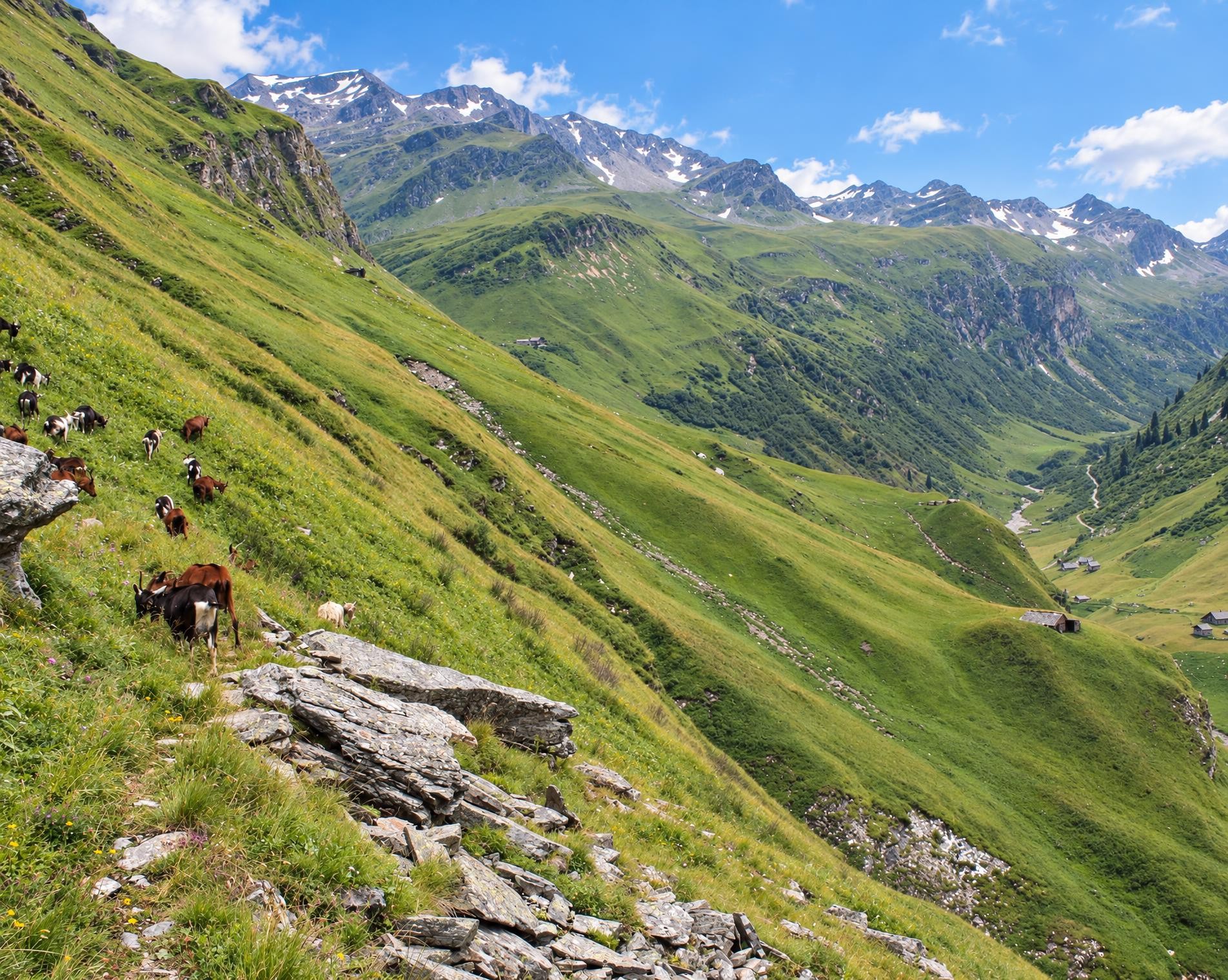
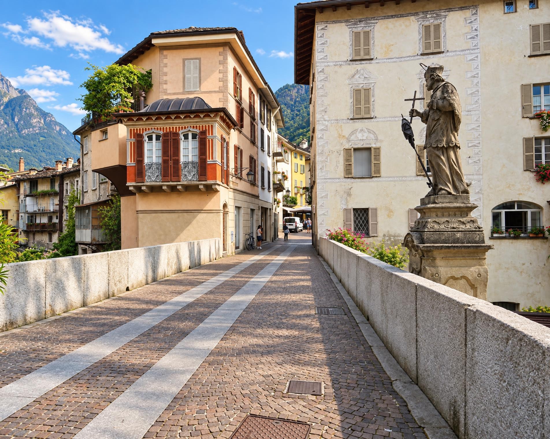
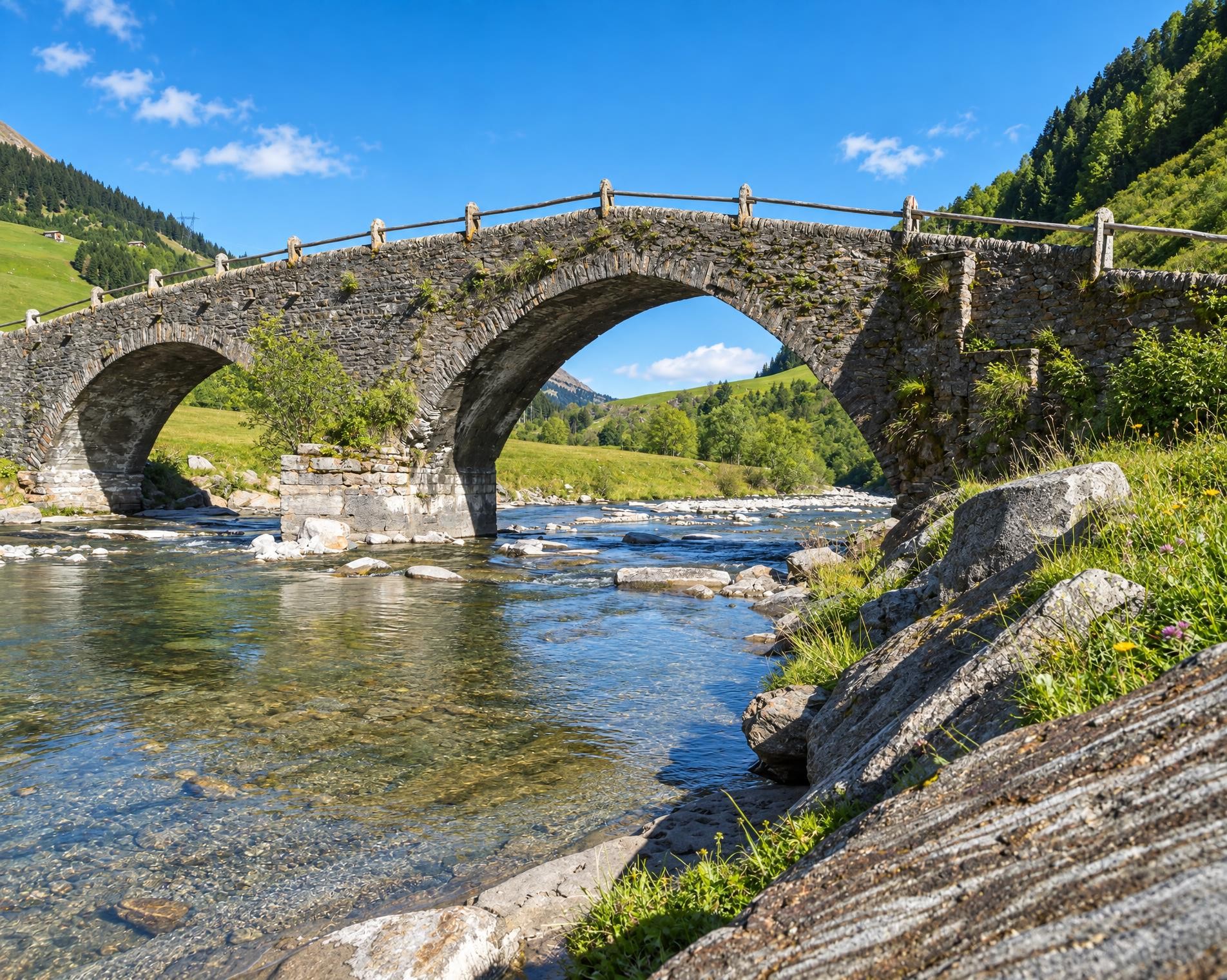
The Walserweg Graubünden follows the tracks of the Walsers in the high valleys of Graubunden in 19 one-day stages (total 300 km). The route leads along historic trails through breathtaking nature and intact cultivated landscapes. Hikers gain insights into the culture and history of the Walser folk.
The long-distance hike through Graubünden begins at the S. Bernardino, Chiesa Rotonda bus stop. Crossing open alpine pastures and rocky heights, the mountain trail leads to the Valserberg at 2,503 m, then through Vals and over the Tomülpass into the Safiental. Beyond the Glaspass, forests, villages and open slopes alternate before the route reaches its lowest section near Thusis.
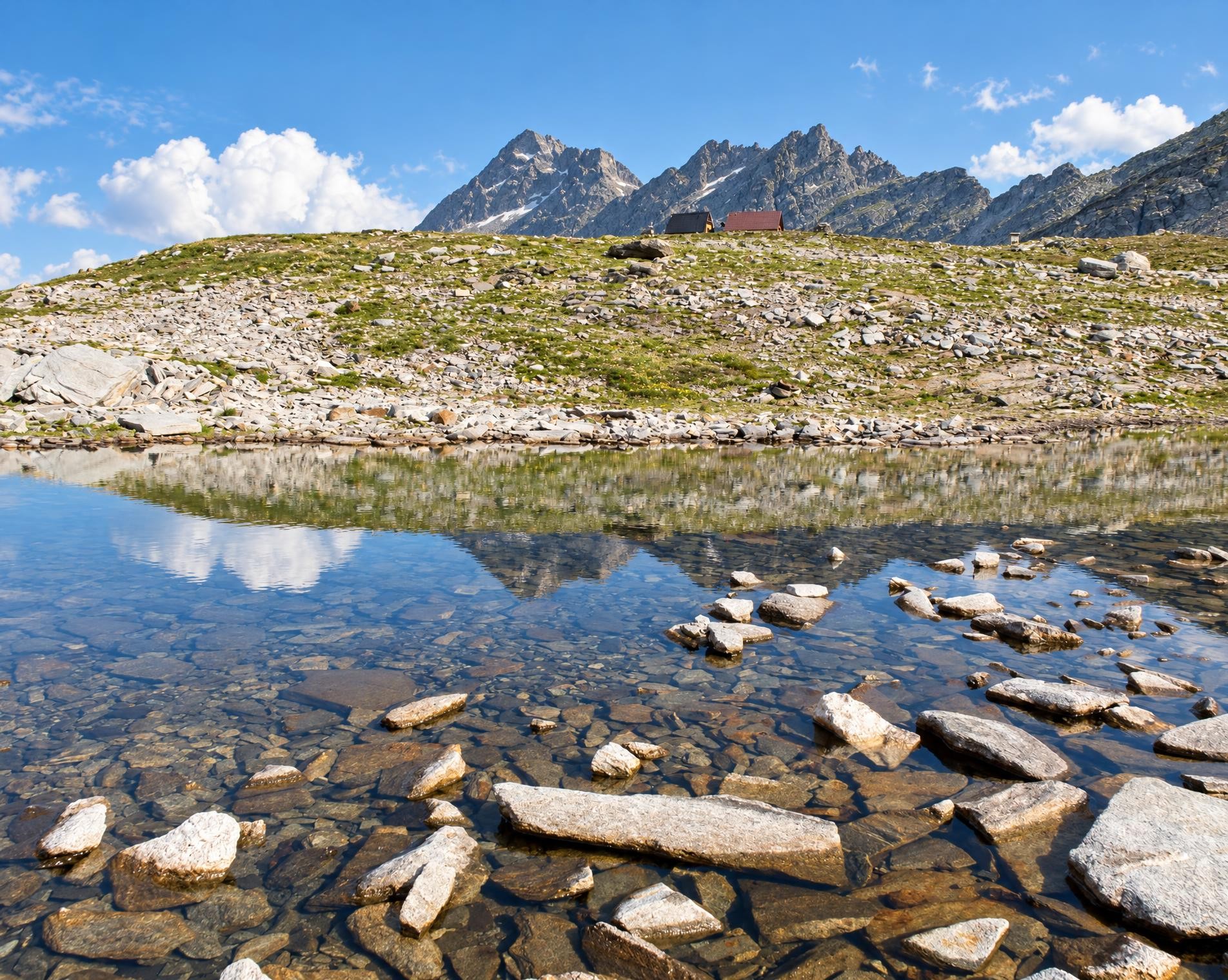
Via Obermutten, Andeer and Avers, the trail climbs back into the mountains. Near Piz Surpare, the highest point of the entire route lies at around 2,840 m. The route then continues over the Pass d’Ela between Piz Ela and Cotschen and past the Chamonas d’Ela CAS in the upper Val Spadlatscha. The long middle section leads via Filisur, Davos and the Maienfelder Furgga to Arosa, where the route skirts the Arosa reservoir.
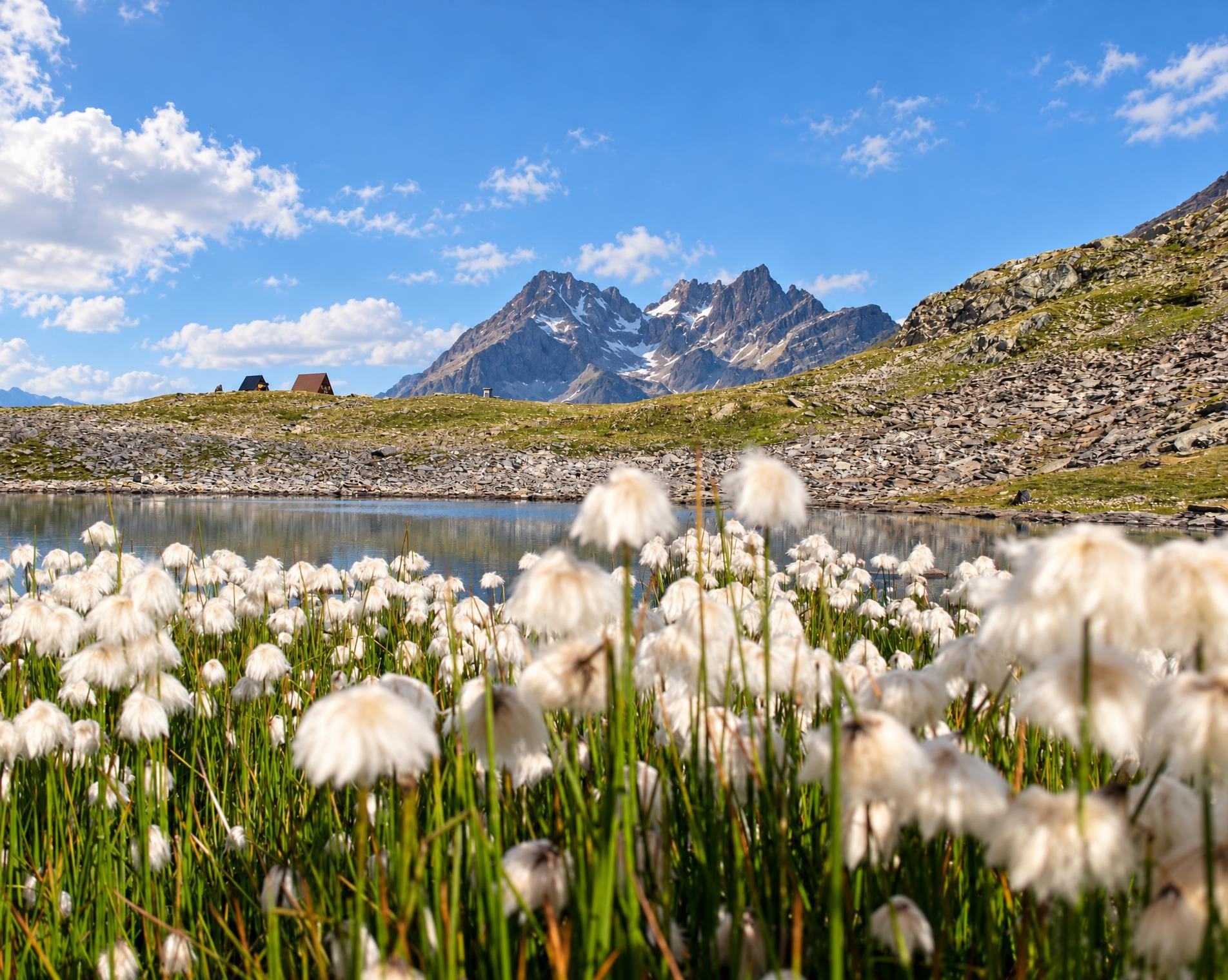
Through the Schanfigg, the trail continues via Langwies and the Durannapass to Klosters. In the Rätikon, Sankt Antönien, Partnun and the Partnunsee lie along the route. Schweizer Tor and Verajoch lead into Vorarlberg; the tour ends in Brand, away from public transport. The nearest stop, Eggli (Fanas), is around 12 km away.
02/ Along the route
What's along the way
Where the route climbs and where it descends. Hover the profile to find the spot on the map.
03/ Conditions
Current conditions
What to know before you set off. Closures and snow are re-checked every day.
Madrisa - Zügenhüttli
From 20 May 2025 – Until 18 Mar 2027
Infolge Bauarbeiten an der Madrisa Solar ist der Wanderweg gesperrt. Eine Umleitung ist signalisiert.
Kreuzweg
From 1 May 2026 – Until 30 Oct 2026
Bitte vor Ort die Signalisierte Umleitung beachten.
Chrüzweg - Obersässtäli
From 1 May 2026 – Until 31 Oct 2026
Infolge Bauarbeiten bleibt der Wanderweg im Bereich Obersässtäli bis ende Oktober 2026 gesperrt.
Arosa - Iselwis
From 10 Aug 2026 – Until 30 Oct 2026
Aufgrund von Bauarbeiten wird der Bike und Wanderweg zwischen ARA und Stausee umgeleitet. Die Umleitung ist signalisiert. Die Umleitung dauert vom 10. August bis voraussichtlich Ende Oktober 2026.
San Martegn - Tgavrida
From 10 Aug 2026 – Until 31 Dec 2026
Infolge Forstarbeiten ist der Wanderweg zwischen San Martegn - Tgavrida bei Innerferrera bis auf Weiteres gesperrt. Bitte beachten Sie die Umleitung.
How we check: Every night we match the route against the official closures and detours from the Federal Roads Office (FEDRO). Any reported closure that touches the route shows up here.
How we check: We look up a live public transport connection from your starting point to the stop closest to the trailhead. If it ends further away, the nearest stop may be a cable car or bus that isn't running right now.
How we check: Snow depth estimated daily at the lowest and the highest point of the route. Estimates: check the situation on site.
04/ Getting there
Getting there
From your door to the trailhead and home again, by train and bus or by car. Computed live from the timetable.
Or from
Outbound
Return
05/ Weather
Weather on the way
Forecast for the lowest and the highest point of the route.
Weather
06/ Trail & landscape
Trail & landscape
Which paths you walk on and the landscape they lead through.
07/ Snow
Snow on the route
Snow depths, new snow and forecast. Estimates: check the situation on site before you set off.
Snow Info
Comparative snow depth is only available from November 1 to June 30.
08/ Export
Take the route with you
Load the track onto your GPS device, print a route sheet for the trail or send the route to your hiking group.
Share
Send the link to friends or your hiking group.
Export GPX File
For hiking apps, GPS watches and navigation devices.
Print Route Sheet
A4 with map, elevation profile, waypoints and emergency numbers.