Hike /Schweiz Mobil
Weg der Schweiz
Seelisberg (Rütli)Brunnen
- Distance
- 35.0 km
- Duration
- 10:00 h
- Ascent
- 1500 m
- Descent
- 1500 m
- Difficulty
- Easy
- Fitness
- Moderate
- Route type
- One way
- Season
- March - October
01/ Overview
The route
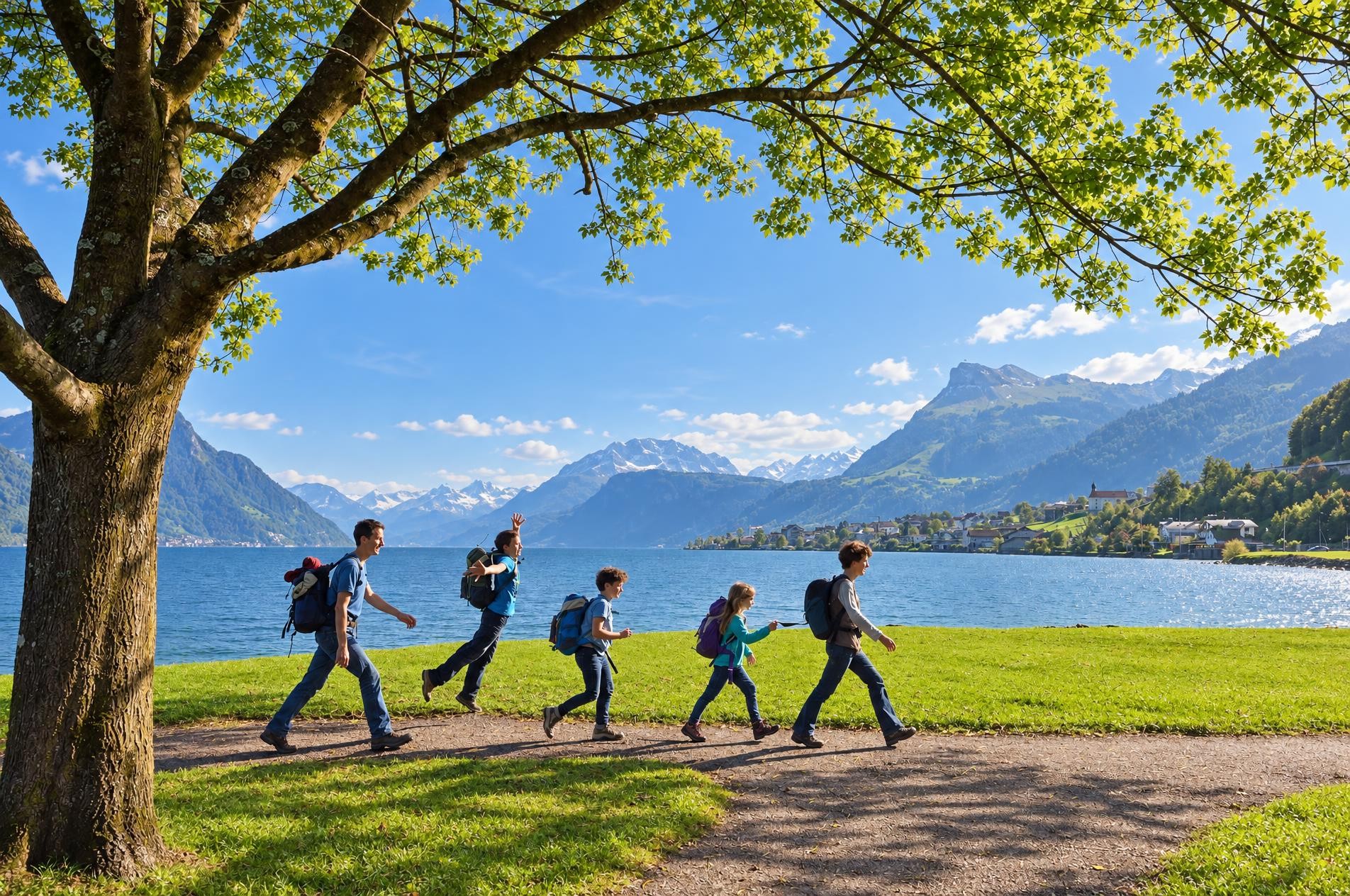
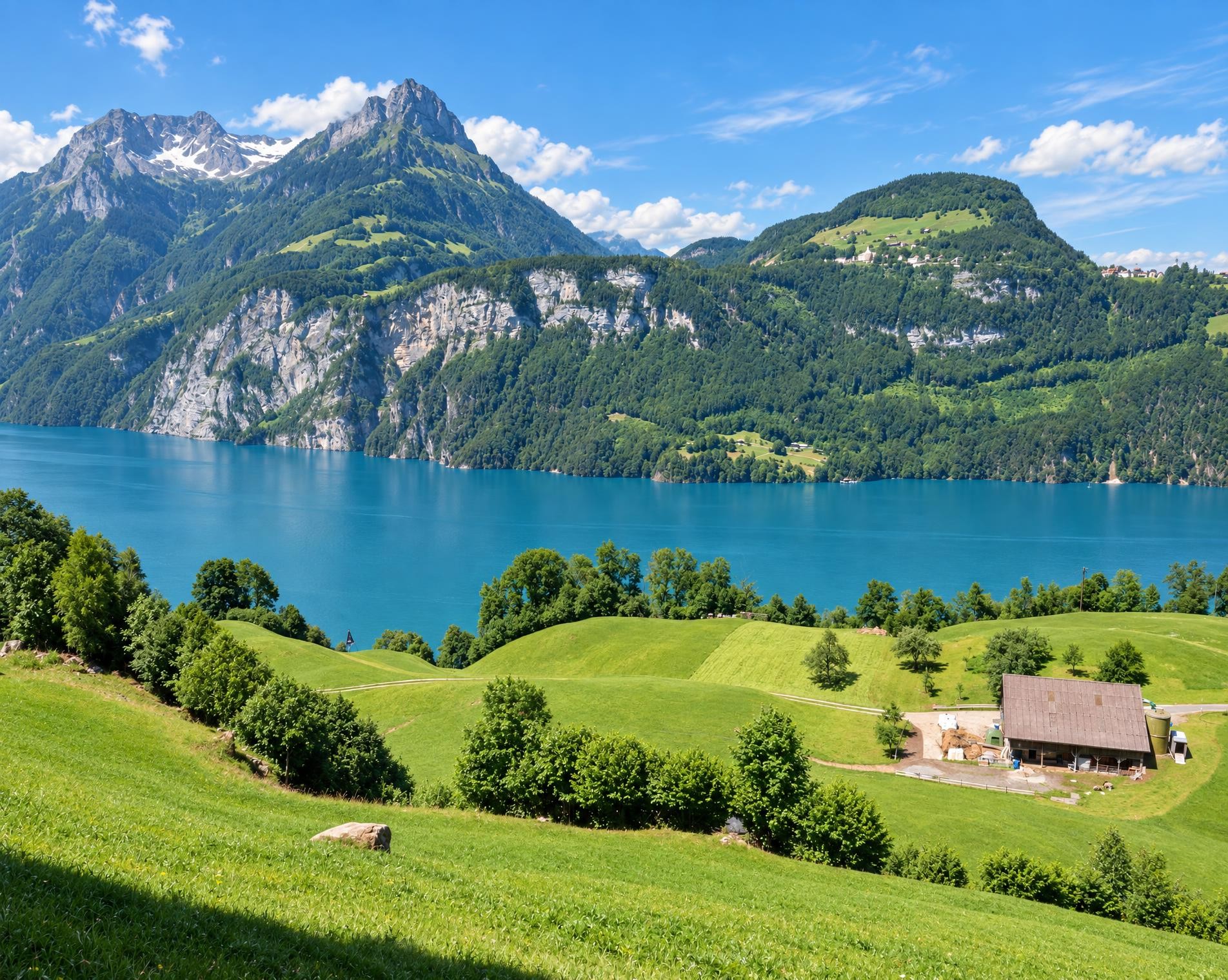
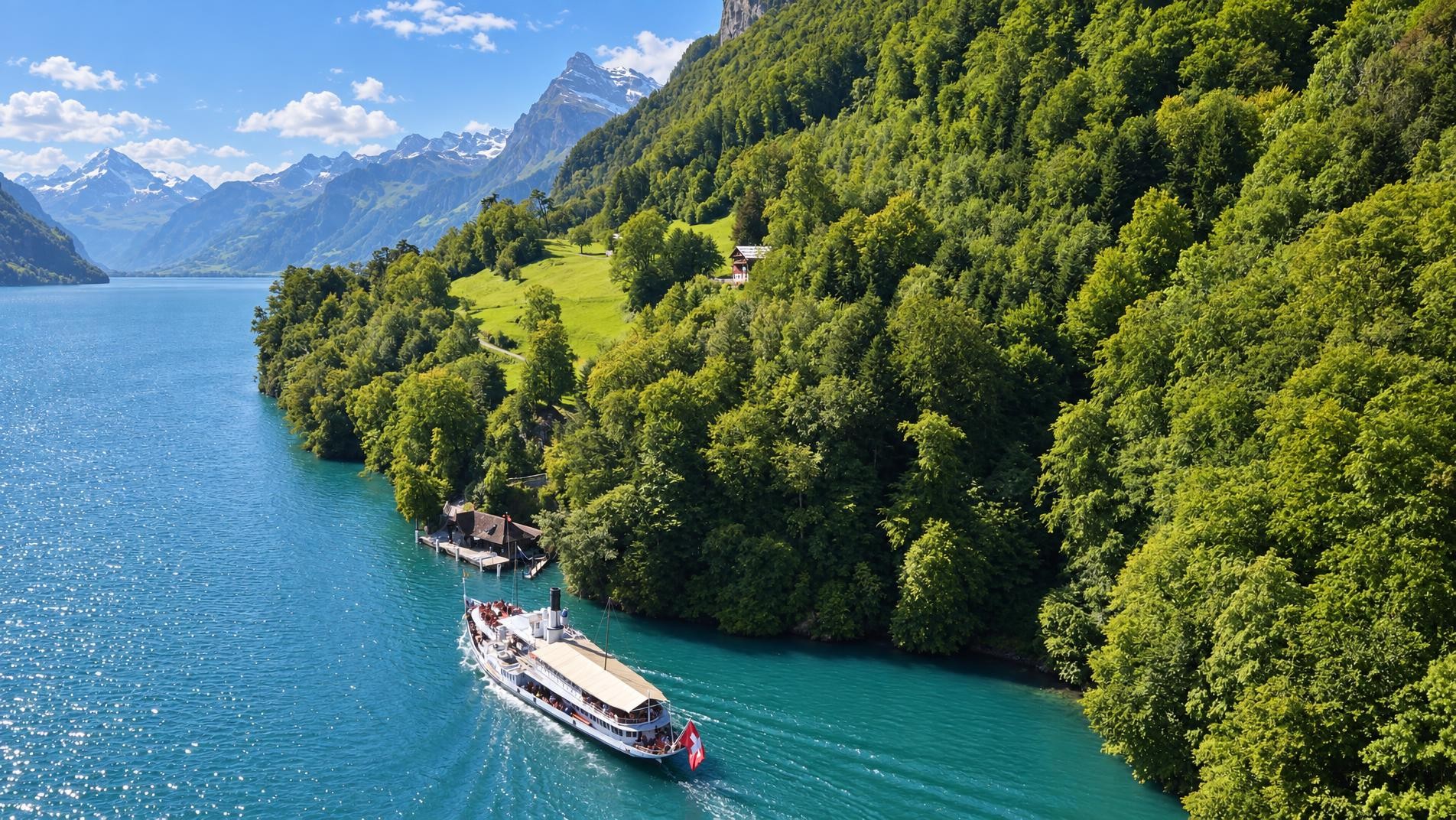
The Weg der Schweiz (Swiss Path) not only takes you back to Switzerland’s historic roots but also offers considerable diversity. Numerous departure or destination points thanks to use of passenger boats.
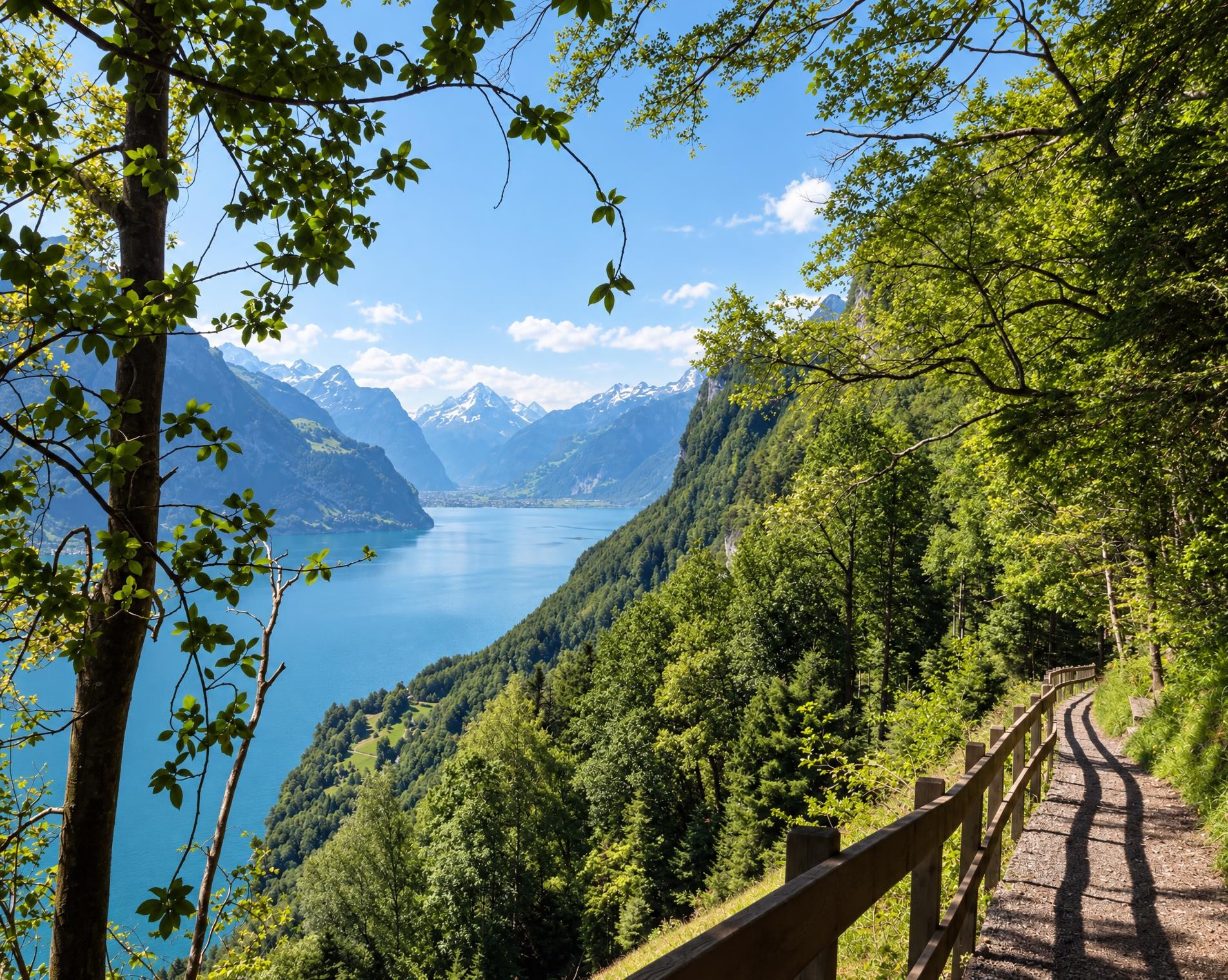
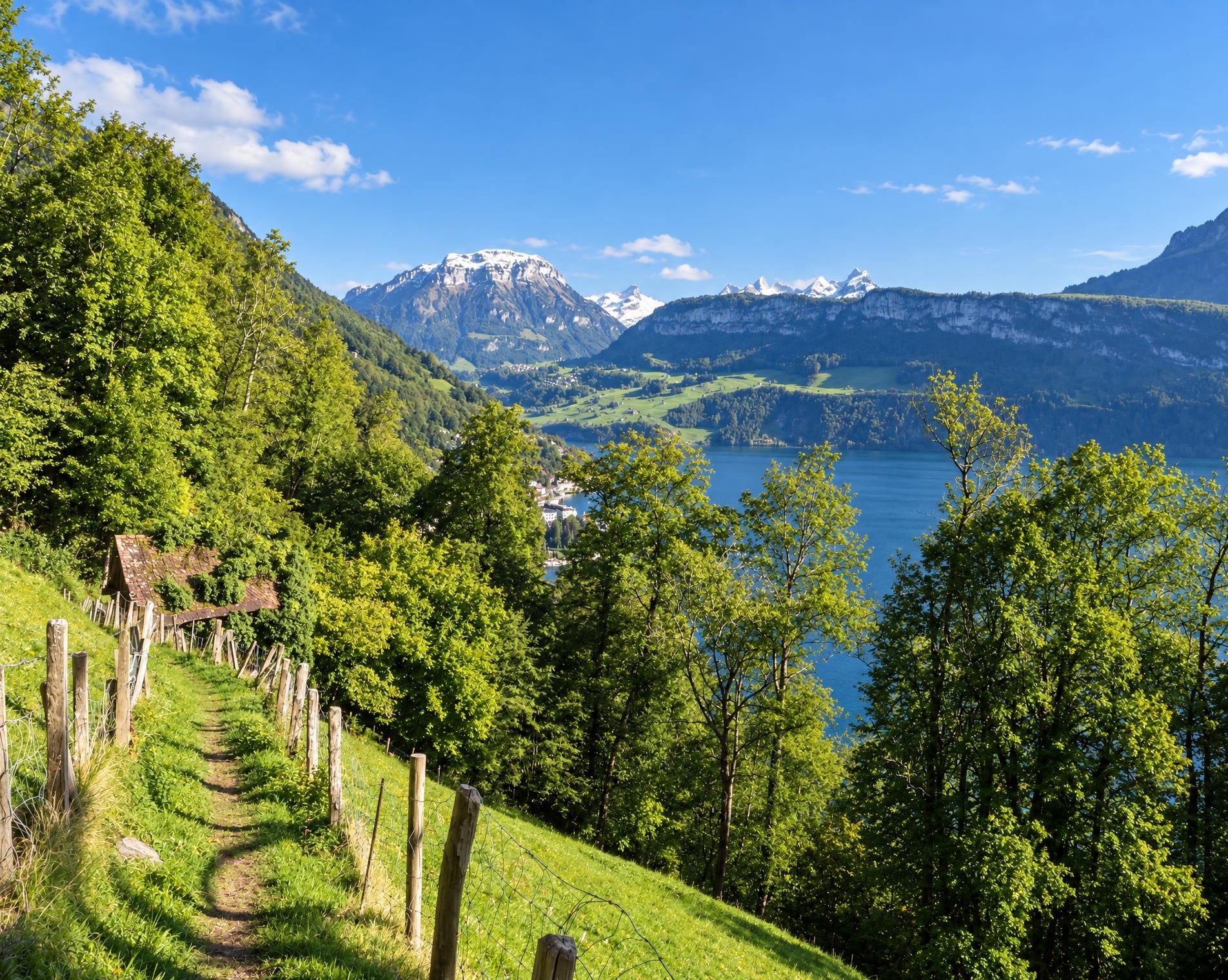
From the Rütli stop, the hiking trail climbs across meadows and through woodland to Seelisberg. Passing the parish church of St Michael, it continues to the Schillerbalkon and then towards Brandegg. Nearby, the route reaches its highest point at around 870 m, with Beroldingen Castle appearing beside the trail shortly afterwards.
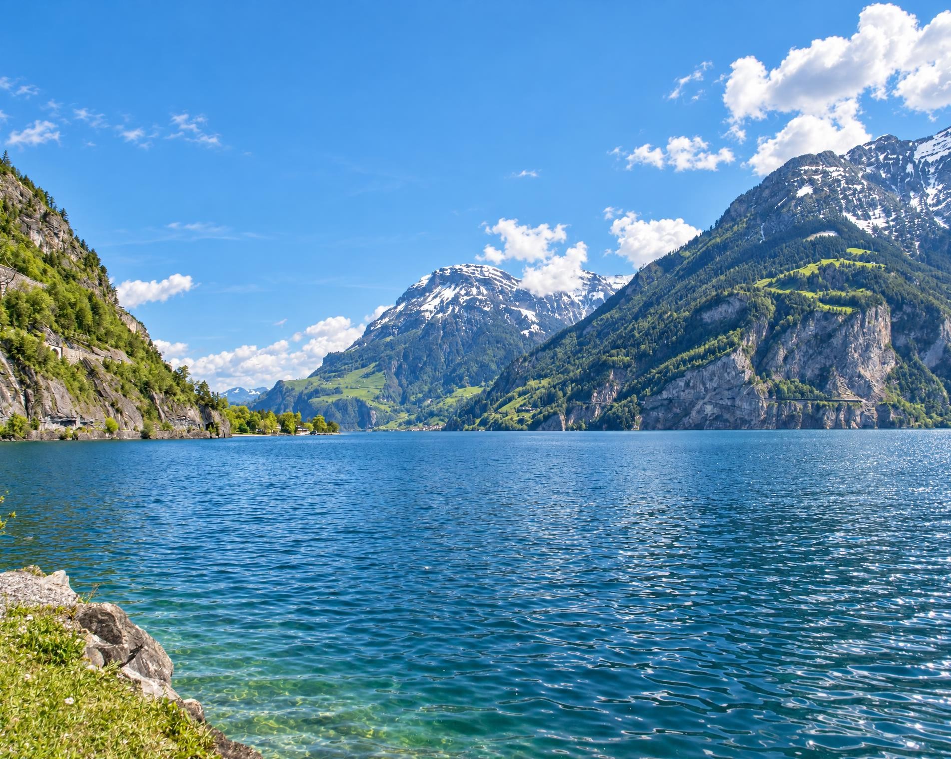
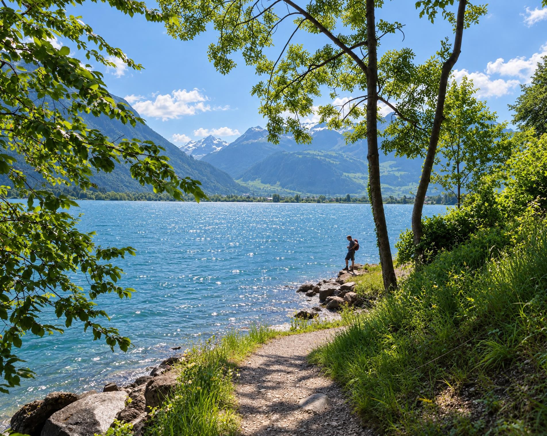
The descent leads to Bauen and the Vierwaldstättersee. The route continues via Isleten and Bolzbach to Flüelen, alternating between open stretches of shoreline, woodland and villages. North of Flüelen, the trail follows the Urnersee to the Tellskapelle. It stands directly on the shore where, according to legend, Wilhelm Tell leapt from the boat of the bailiff Gessler.
After Sisikon, the route climbs steeply once more to Morschach. Axenstein and Chänzeli offer views across the lake and mountains before the hiking trail descends to Brunnen. After around 35 km and just over ten hours, the tour ends at the Brunnen See stop.
02/ Along the route
What's along the way
Where the route climbs and where it descends. Hover the profile to find the spot on the map.
03/ Conditions
Current conditions
What to know before you set off. Closures and snow are re-checked every day.
Reusssteg
From 31 Aug 2026 – Until 30 Oct 2026
Oberhalb der Reussmündung in den Urnersee verbindet der Reusssteg, eine Brücke von 38 Metern Länge auf dem Weg der Schweiz, die Gemeinden Flüelen und Seedorf. Zwei markante Bögen aus Brettschichtholz bilden das Tragwerk der Brücke. Sie sind den Witterungseinflüssen in besonderem Masse ausgesetzt und müssen nach einer Betriebsdauer von über 35 Jahren umfassend saniert werden. Während der Bauphase ist die Brücke für den Langsamverkehr gesperrt. Bitte benützen sie die Umleitung.
How we check: Every night we match the route against the official closures and detours from the Federal Roads Office (FEDRO). Any reported closure that touches the route shows up here.
How we check: We look up a live public transport connection from your starting point to the stop closest to the trailhead. If it ends further away, the nearest stop may be a cable car or bus that isn't running right now.
How we check: Snow depth estimated daily at the lowest and the highest point of the route. Estimates: check the situation on site.
04/ Getting there
Getting there
From your door to the trailhead and home again, by train and bus or by car. Computed live from the timetable.
Or from
Outbound
Return
05/ Weather
Weather on the way
Forecast for the lowest and the highest point of the route.
Weather
06/ Trail & landscape
Trail & landscape
Which paths you walk on and the landscape they lead through.
07/ Snow
Snow on the route
Snow depths, new snow and forecast. Estimates: check the situation on site before you set off.
Snow Info
Comparative snow depth is only available from November 1 to June 30.
08/ Export
Take the route with you
Load the track onto your GPS device, print a route sheet for the trail or send the route to your hiking group.
Share
Send the link to friends or your hiking group.
Export GPX File
For hiking apps, GPS watches and navigation devices.
Print Route Sheet
A4 with map, elevation profile, waypoints and emergency numbers.