Hike /Schweiz Mobil
Alpine Passes Trail
St. Moritz, CorvigliaSt-Gingolph
- Distance
- 695.0 km
- Duration
- –
- Ascent
- 47100 m
- Descent
- 49200 m
- Difficulty
- Moderate
- Fitness
- Hard
- Route type
- One way
- Season
- June - September
01/ Overview
The route
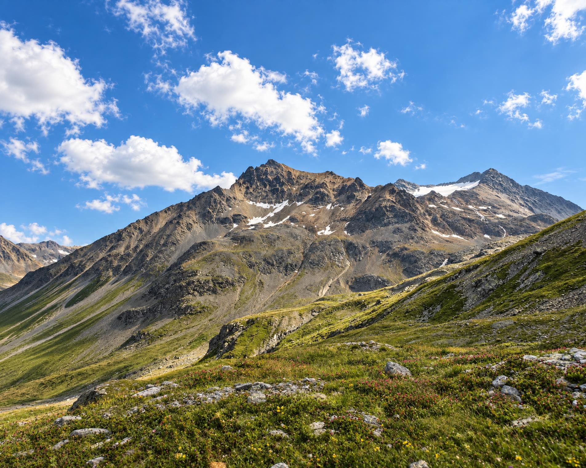
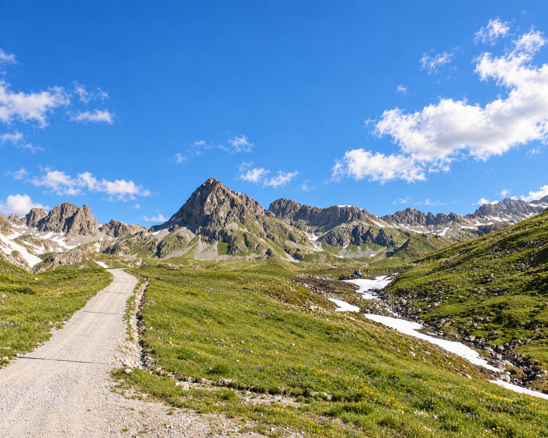
The Alpine Passes Trail strings together many of the most beautiful passes in the Graubunden and Valais Alps in 43 stages. One highlight follows another from the Greina Plateau to the passes and lake landscape at the foot of the Dents du Midi.
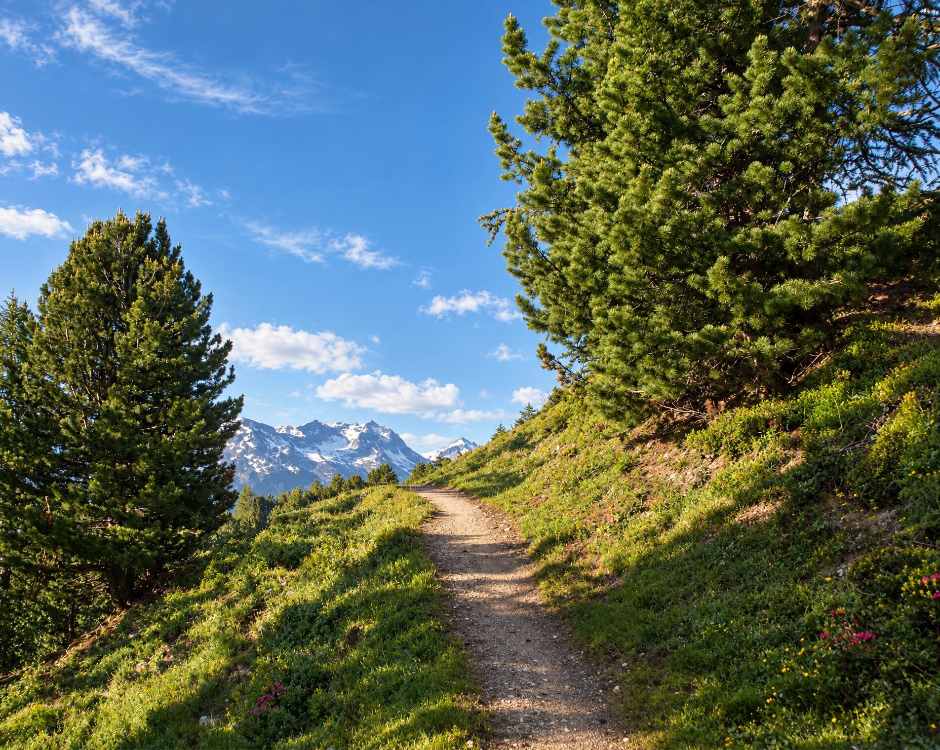
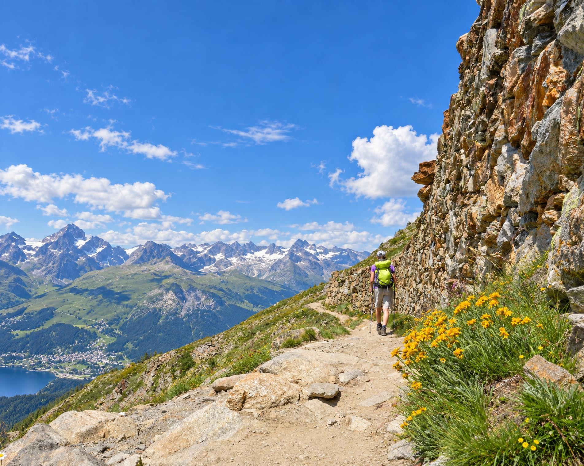
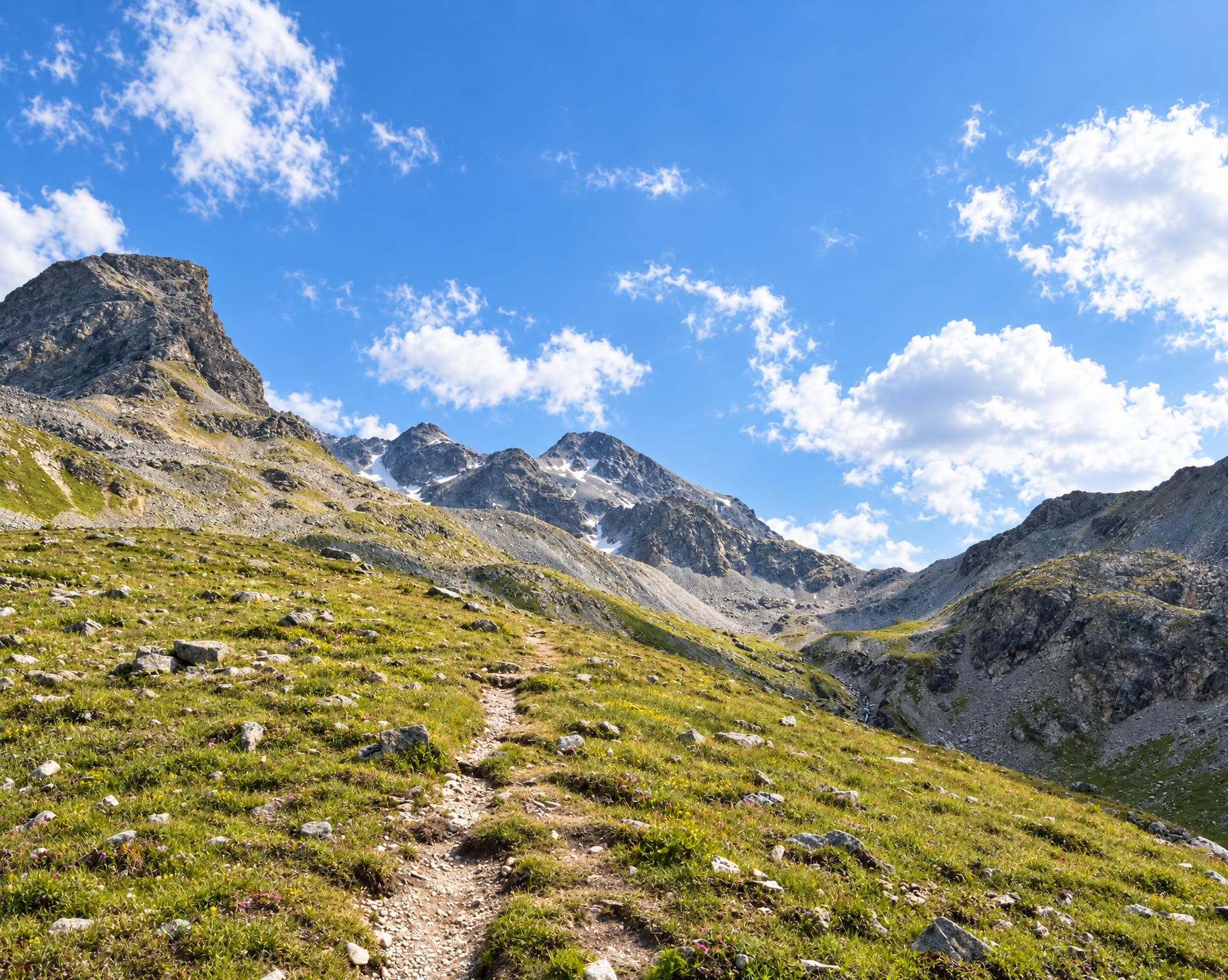
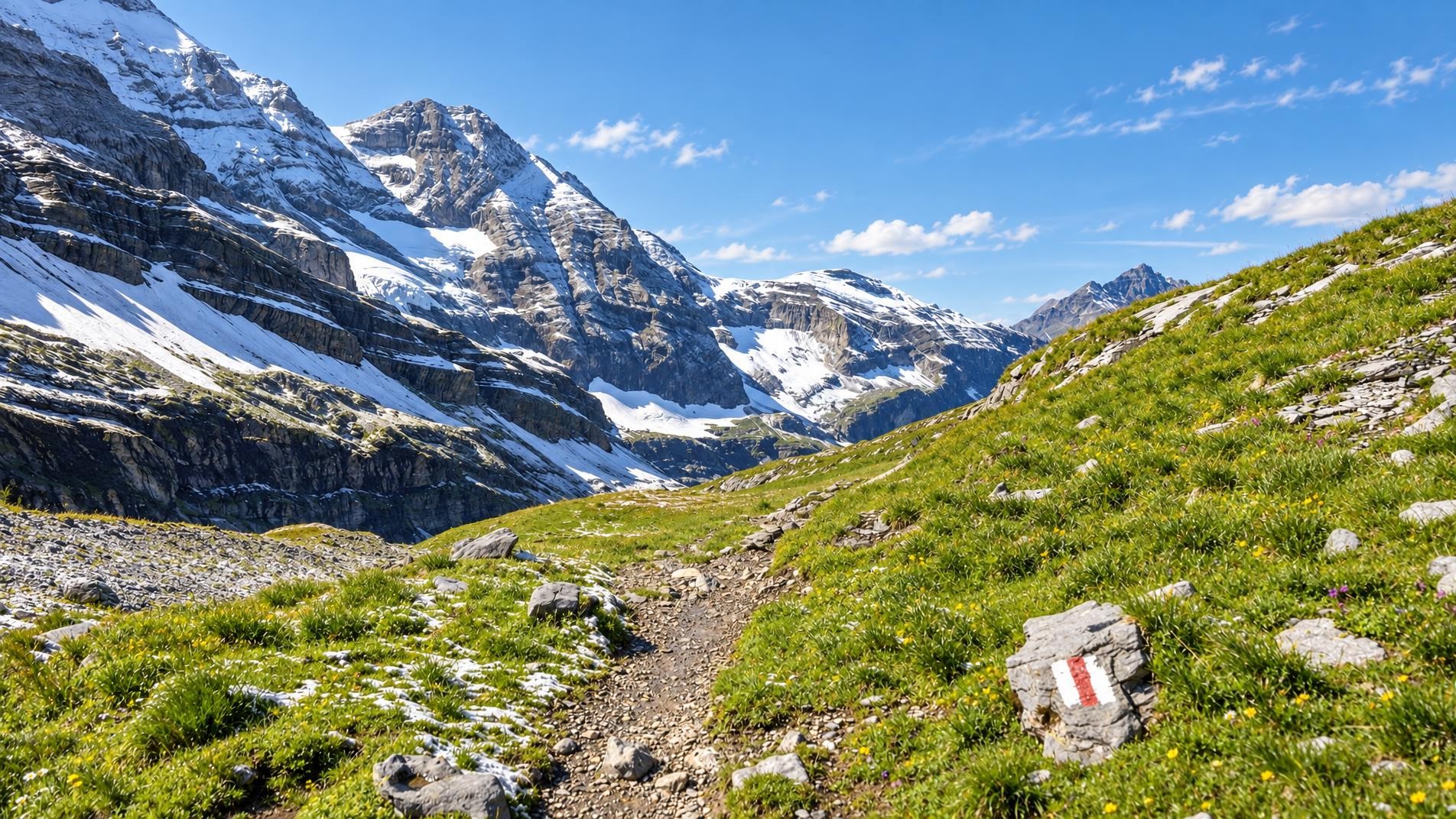
From Corviglia, the route heads west. It mostly follows white-red-white waymarked mountain paths across open pastures, through forests and up into rocky terrain. After a long journey through Graubünden, the Passo della Greina leads into Ticino at around 2,350 m. Later, Lago Ritom, a reservoir in Val Piora, lies directly on the route.
Beyond Airolo, the succession of passes, high valleys and settlements continues into Valais. The paths remain predominantly mountainous, with frequent ascents and descents between open slopes and forest. Above the Lac des Dix reservoir, the route passes Cabane des Dix. Near Pointe des Autans, it reaches its highest point at just under 3,000 m; it then leads past Lac de Louvie.
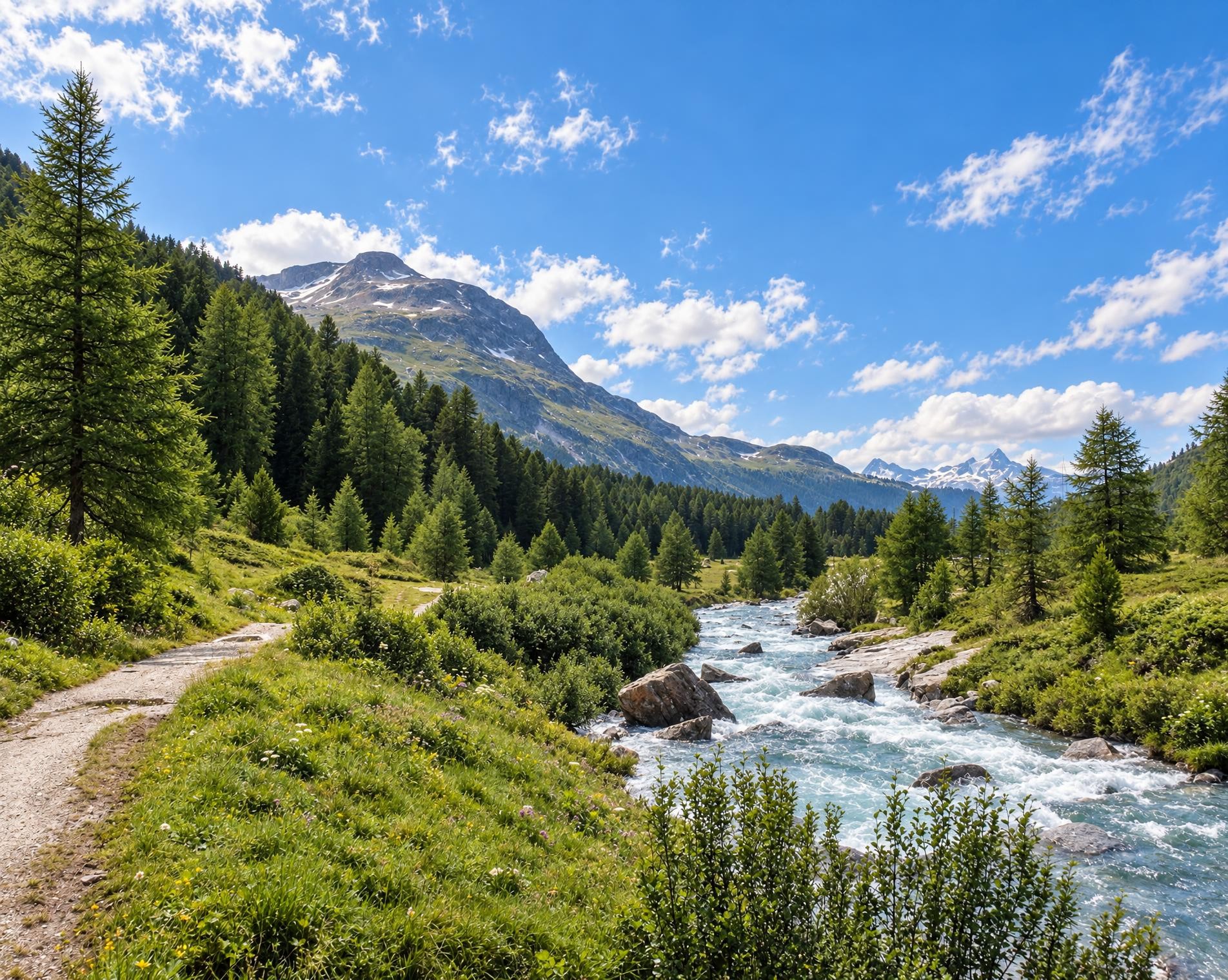
The route crosses the Grosser St. Bernhard into the western part of Valais. After Lac de Salanfe, the mountains gradually become lower. Forest and open meadows accompany the long final stretch via Morgins to St-Gingolph, where the hike ends near the St-Gingolph (Suisse) (lac) stop.
02/ Along the route
What's along the way
Where the route climbs and where it descends. Hover the profile to find the spot on the map.
03/ Conditions
Current conditions
What to know before you set off. Closures and snow are re-checked every day.
Chemin des Tseppes
From 3 Apr 2023 – Until 22 Oct 2026
Der Weg ist zahlreichen Naturgefahren ausgesetzt und setzt den Wandernden zu vielen Risiken aus.
Airolo - Stalvedro
From 9 Oct 2023 – Until 31 Mar 2027
Wegen der Baustelle des zweiten Gotthardtunnels ist der Weg gesperrt.
Madrano - Pasquéi
From 18 Apr 2024 – Until 5 Dec 2026
Vorübergehend geänderte Wegführung.
Anniviers/Mission: Ayer - Les Morasses
From 18 Apr 2025 – Until 31 Oct 2026
Col de Susanfe
From 24 Jun 2025 – Until 31 Dec 2026
Binn: Mässerbach (Alpenpässe-Weg)
From 30 Jun 2025 – Until 28 Apr 2027
Brücke zerstört.
Madrano
From 26 Mar 2026 – Until 24 Mar 2027
Unterbrechung der Verbindung aufgrund einer durch den Fluss Canaria beschädigten Brücke.
Ferrera: Cresta - Alp Sut Fuina
From 8 Jul 2026 – Until 30 Oct 2026
Aufgrund Bauarbeiten ist der Abschnitt zwischen Alp Sut Fuina und Cresta nicht passierbar. Die Umleitung über den alten Wanderweg ist vor Ort signalisiert.
Orsières - Tour du Mont Blanc
From 11 Jul 2026 – Until 7 Jul 2027
Tinizong – Pensa – Alp d’Err II
From 10 Aug 2026 – Until 31 Dec 2026
Wegen Strassensanierungen bleibt der Wanderweg zwischen Motta d`Err und Plaz Schaniel bis ende 2026 gesperrt.
Eisten: Huteggen – Schweiben – Balfrin
From 20 Aug 2026 – Until 30 Oct 2026
Schmelzi - Schwarzwald
From 14 Sept 2026 – Until 26 Apr 2027
How we check: Every night we match the route against the official closures and detours from the Federal Roads Office (FEDRO). Any reported closure that touches the route shows up here.
How we check: We look up a live public transport connection from your starting point to the stop closest to the trailhead. If it ends further away, the nearest stop may be a cable car or bus that isn't running right now.
There may be snow on this hiking trail. Bring appropriate gear and plan accordingly.
How we check: Snow depth estimated daily at the lowest and the highest point of the route. Estimates: check the situation on site.
04/ Getting there
Getting there
From your door to the trailhead and home again, by train and bus or by car. Computed live from the timetable.
Or from
Outbound
Return
05/ Weather
Weather on the way
Forecast for the lowest and the highest point of the route.
Weather
06/ Trail & landscape
Trail & landscape
Which paths you walk on and the landscape they lead through.
07/ Snow
Snow on the route
Snow depths, new snow and forecast. Estimates: check the situation on site before you set off.
Snow Info
Comparative snow depth is only available from November 1 to June 30.
08/ Export
Take the route with you
Load the track onto your GPS device, print a route sheet for the trail or send the route to your hiking group.
Share
Send the link to friends or your hiking group.
Export GPX File
For hiking apps, GPS watches and navigation devices.
Print Route Sheet
A4 with map, elevation profile, waypoints and emergency numbers.