Hike /Schweiz Mobil
Burgfeldenpark-Parc-des-Carrières-Weg
Basel, Burgfelderhof
- Distance
- 5.0 km
- Duration
- 1:10 h
- Ascent
- 30 m
- Descent
- 30 m
- Difficulty
- Moderate
- Fitness
- Easy
- Route type
- Loop
Current conditions
What to know before you set off. Closures and snow are re-checked every day.
How we check: Every night we match the route against the official closures and detours from the Federal Roads Office (FEDRO). Any reported closure that touches the route shows up here.
How we check: Snow depth estimated daily at the lowest and the highest point of the route. Estimates: check the situation on site.
The route
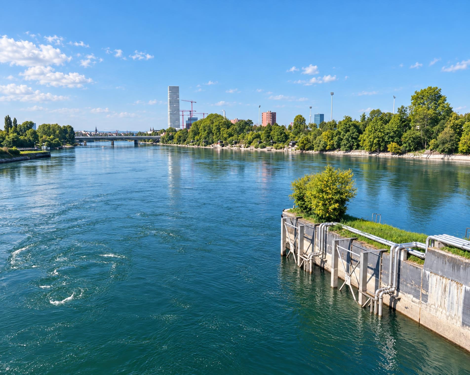
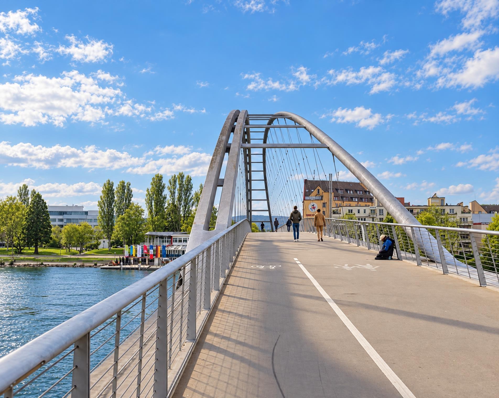
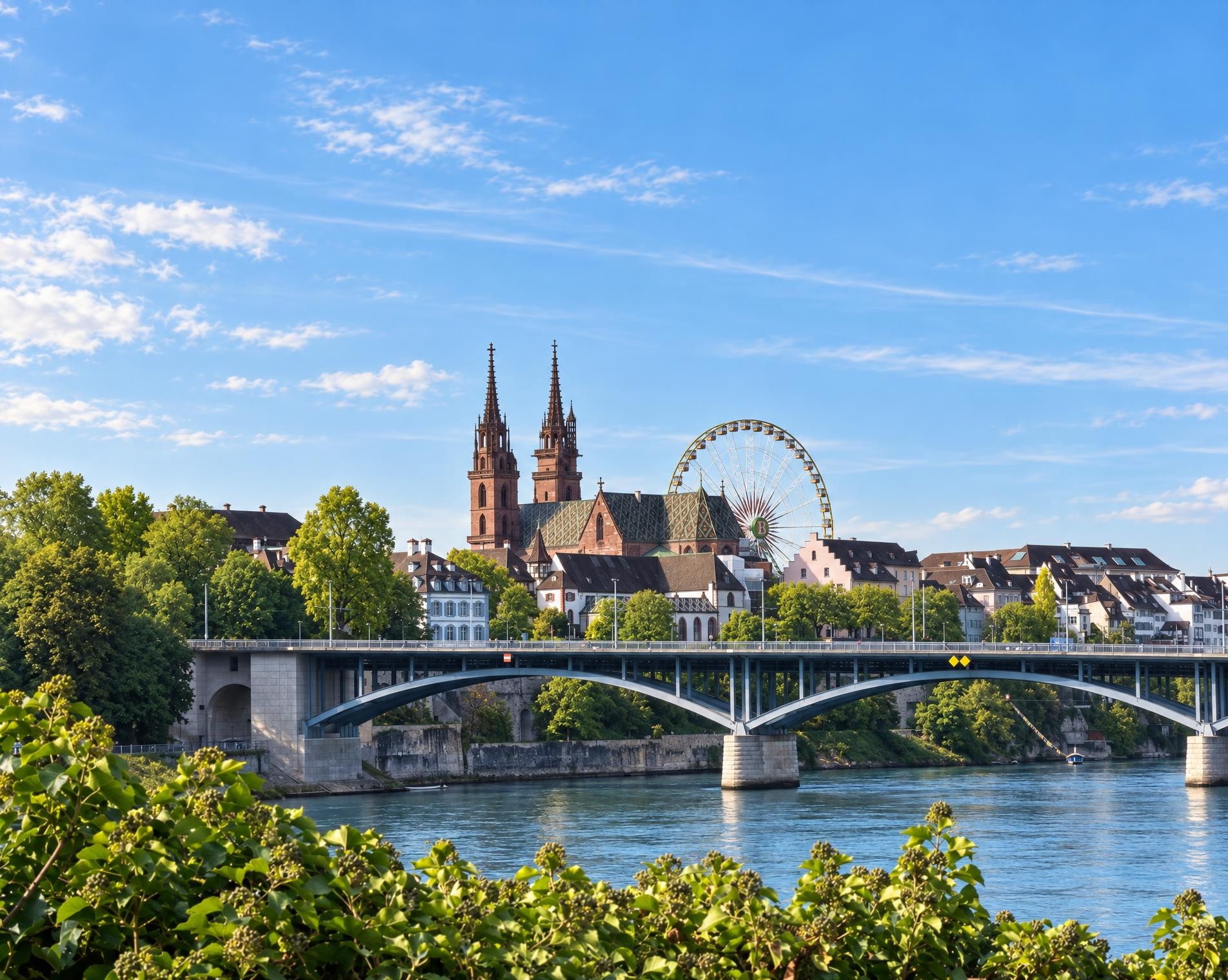
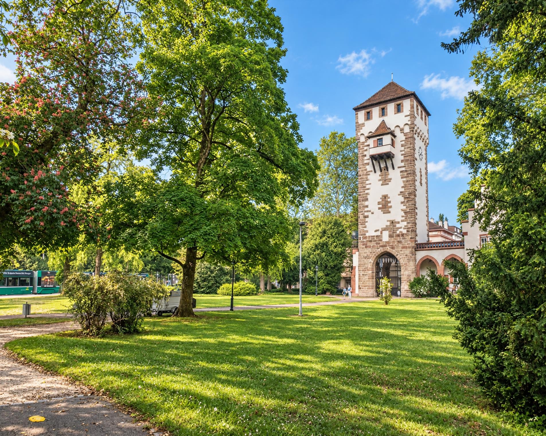
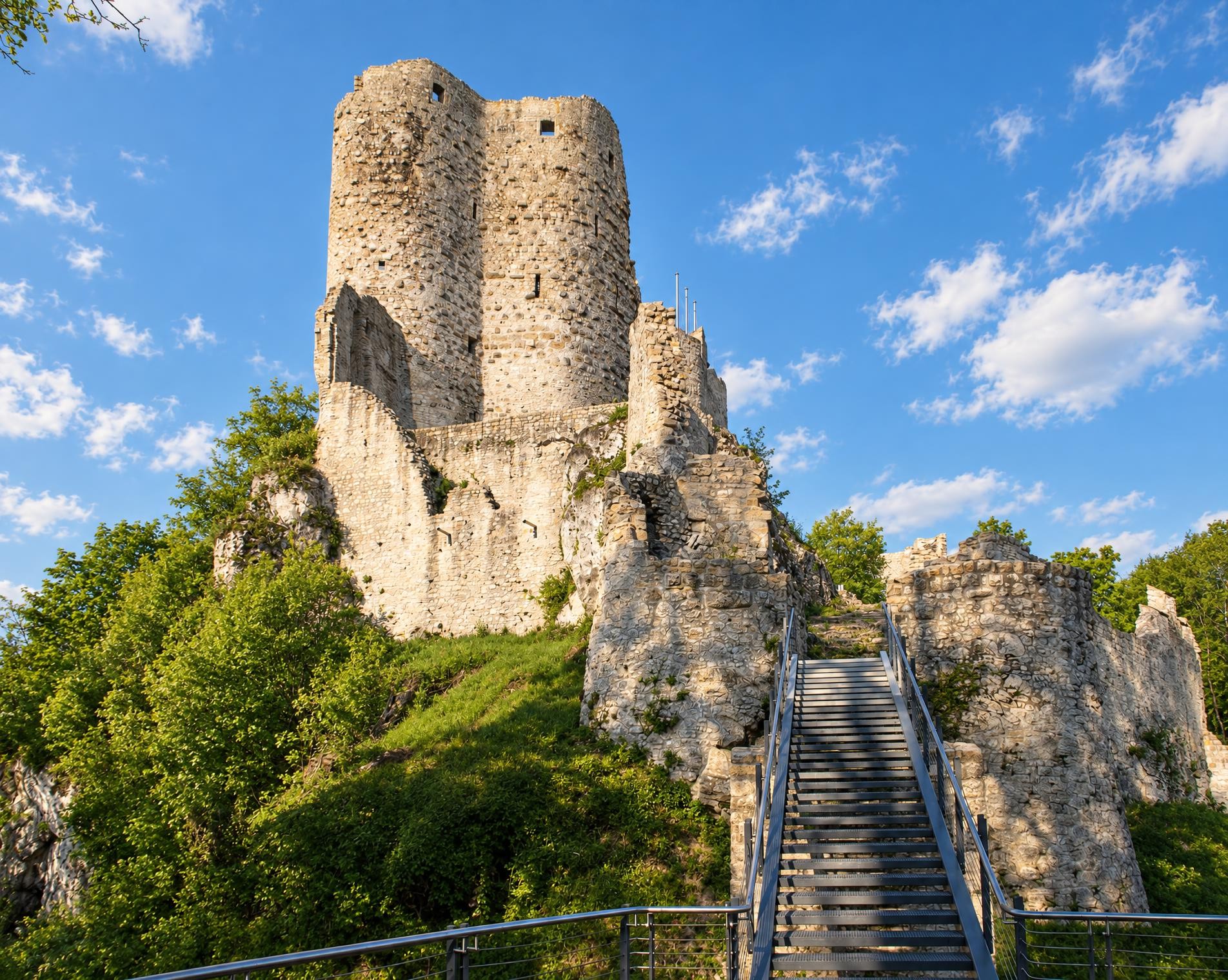
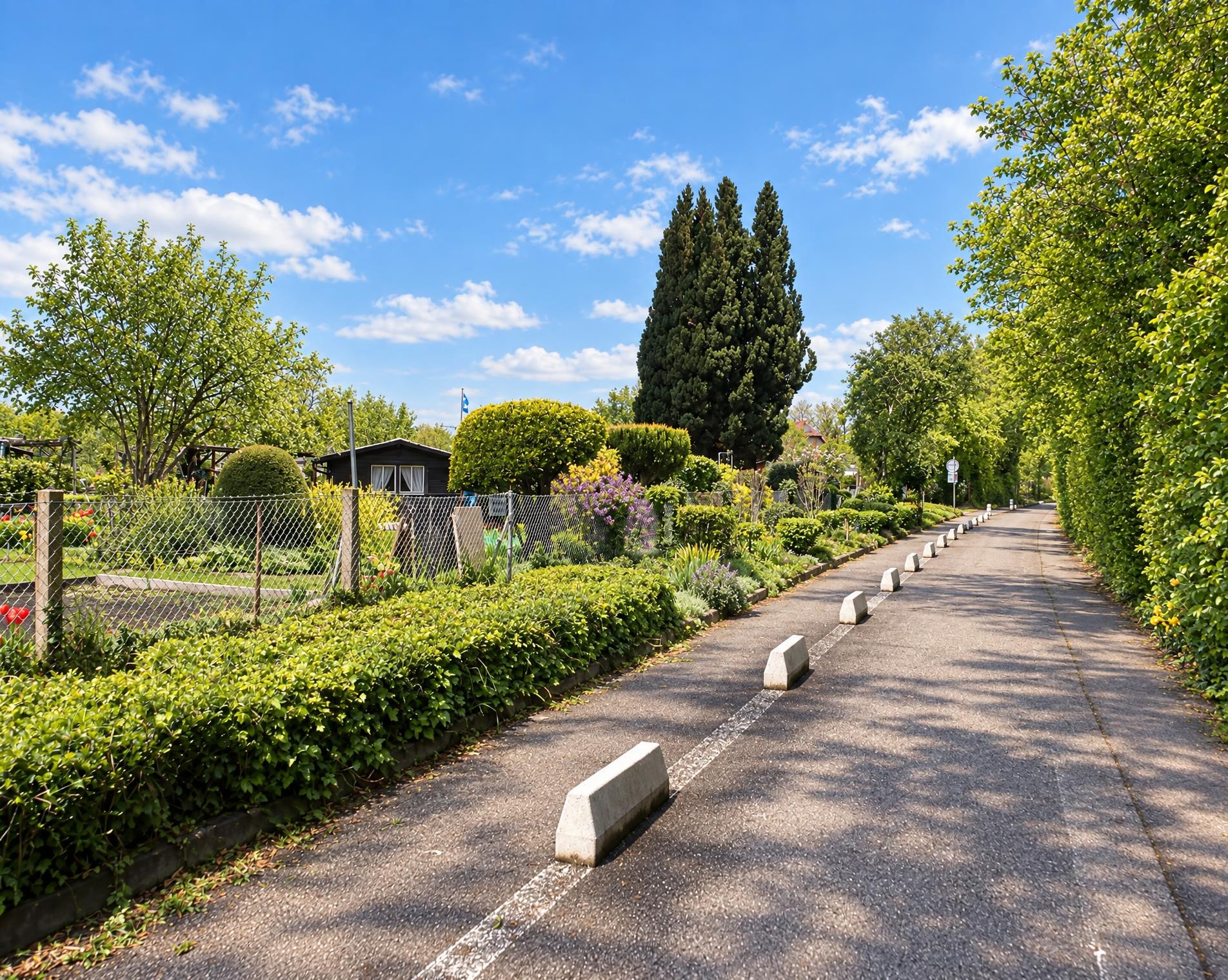
Green spaces, shady trees and orchards – the hike begins on the outskirts of Basel and leads through the green oases of the border region. A relaxing excursion into verdant surroundings, past colourful gardens and flower meadows.
The five-kilometre circular route begins at the Basel, Burgfelderhof stop on the western edge of the city. It initially leads into open countryside and runs entirely outside the network of marked hiking trails. The differences in elevation remain modest: about a third of the way round, the route reaches its highest point near Linsberg at around 280 m. Meadows and open spaces define the landscape here. With a total ascent and descent of around 30 metres, there is neither a long climb nor a pronounced descent; the route remains almost level.
The houses then begin to draw closer again. In the final third of the route, Ristorante Pflanzerbeizli stands directly beside the trail before it leads back through the residential area to Burgfelderhof. Even towards the end, the route descends only slightly. After just over an hour, the circular hike finishes back at the stop of the same name.
Ups and downs
Where the route climbs and where it descends. Hover the profile to find the spot on the map.
What's along the way
Discover points of interest along the route. Pick a stop in the list to show it on the map. Pick a category below the map to show all the sights of that category.
- 0.0 kmBasel, BurgfelderhofStart
- 5.0 kmBasel, BurgfelderhofFinish
Getting there
From your door to the trailhead and home again, by train and bus or by car. Computed live from the timetable.
Or from
Outbound
Return
Weather on the way
Forecast for the lowest and the highest point of the route.
Weather
Trail & landscape
Which paths you walk on and the landscape they lead through.
Larches count as conifer forest here.
Snow on the route
Snow depths, new snow and forecast. Estimates: check the situation on site before you set off.
Snow Info
Relative snow depth not available where long-term average is below 10cm.
Take the route with you
Load the track onto your GPS device, print a route sheet for the trail or send the route to your hiking group.
Share
Send the link to friends or your hiking group.
Export GPX File
For hiking apps, GPS watches and navigation devices.
Print Route Sheet
A4 with map, elevation profile, waypoints and emergency numbers.