Hike /Schweiz Mobil
Chemin des Bisses, Stage 3/7
NendazVeysonnaz
- Distance
- 13.0 km
- Duration
- 3:25 h
- Ascent
- 300 m
- Descent
- 380 m
- Difficulty
- Easy
- Fitness
- Moderate
- Route type
- One way
- Season
- June - October
01/ Overview
The route
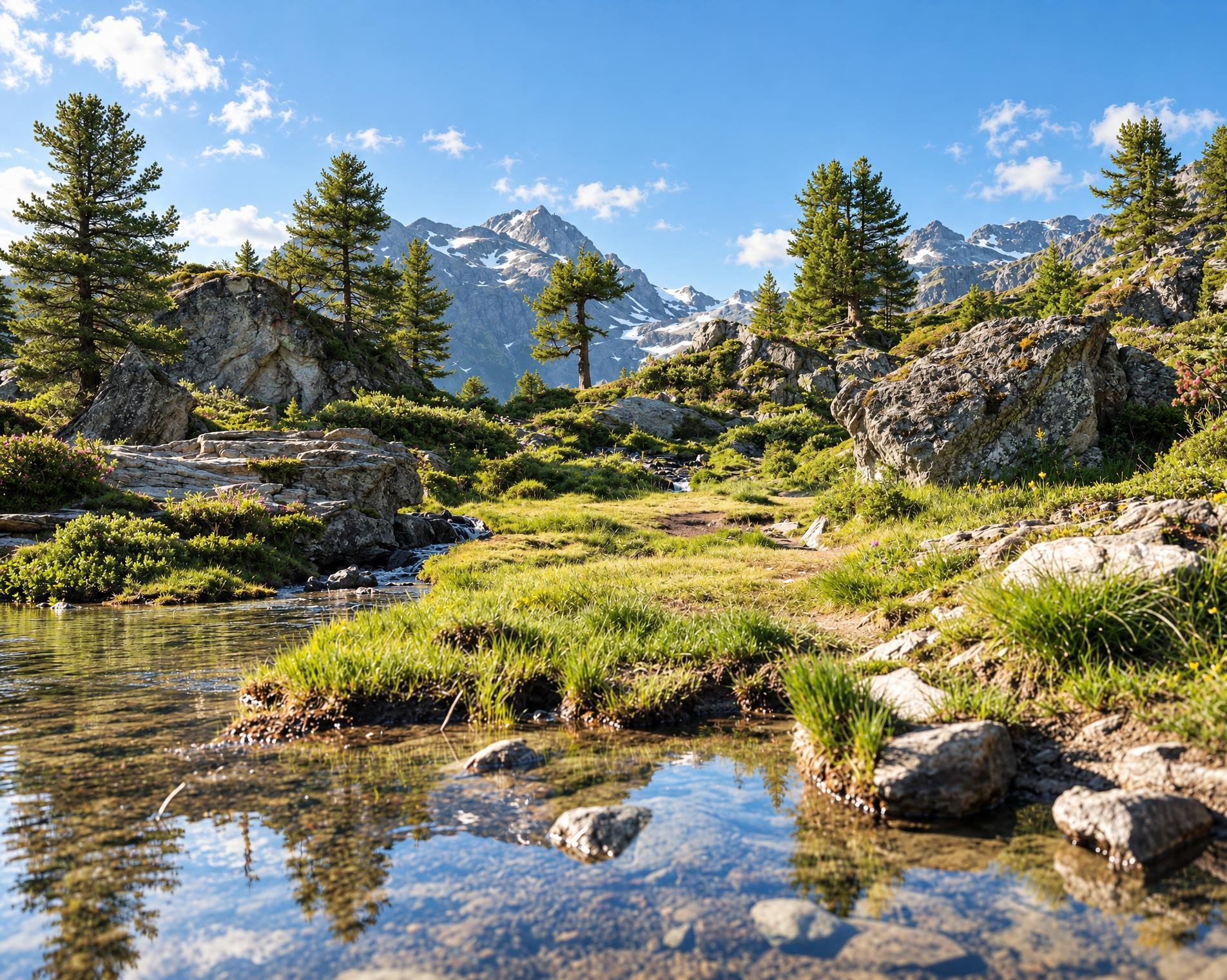
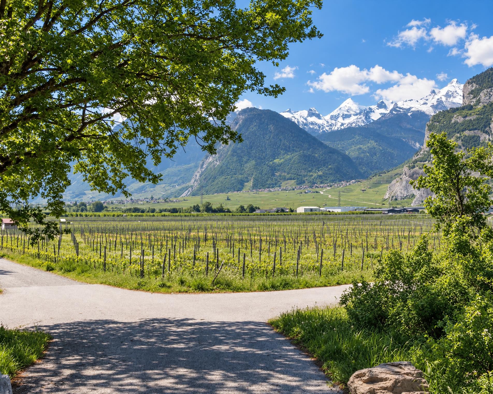
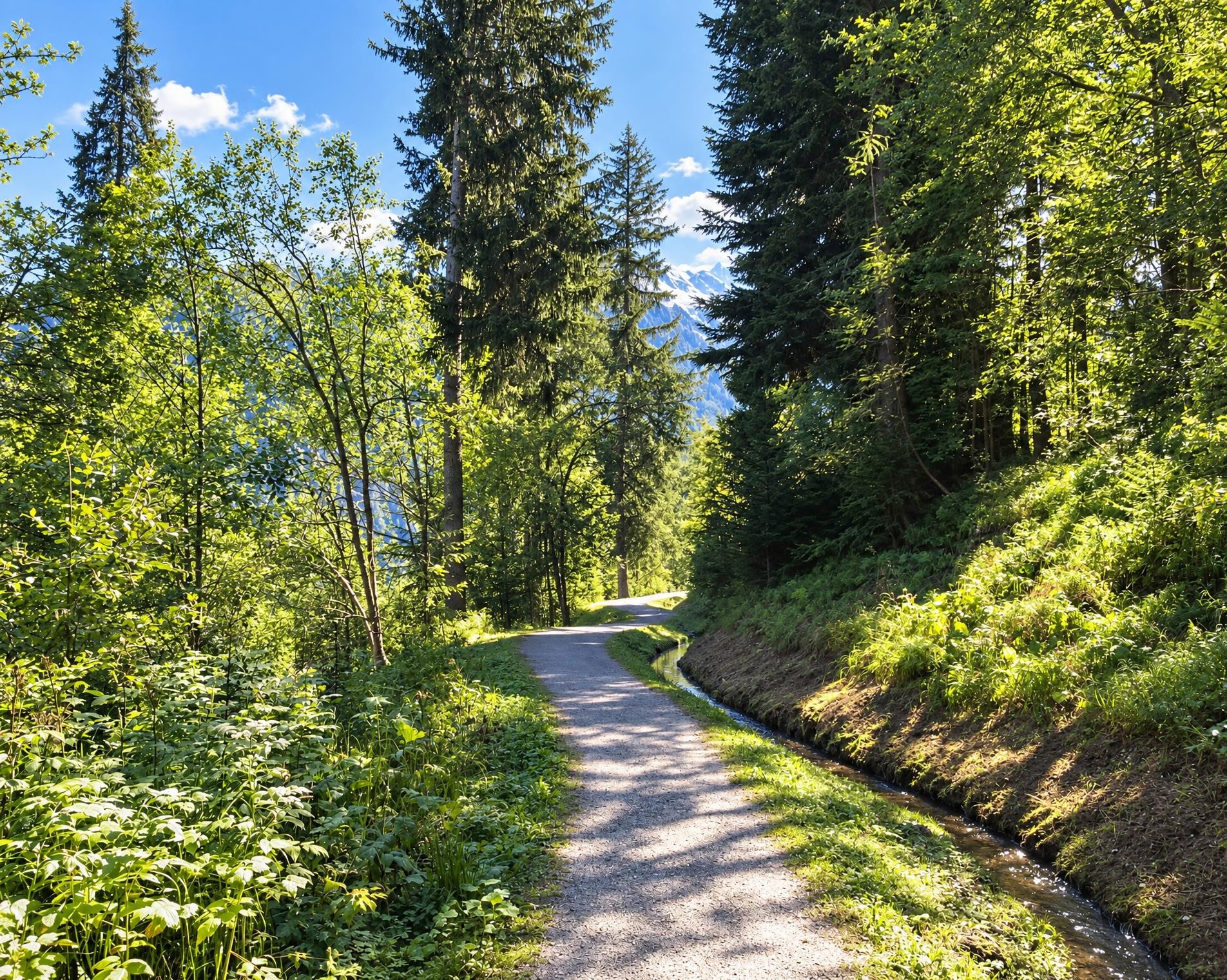
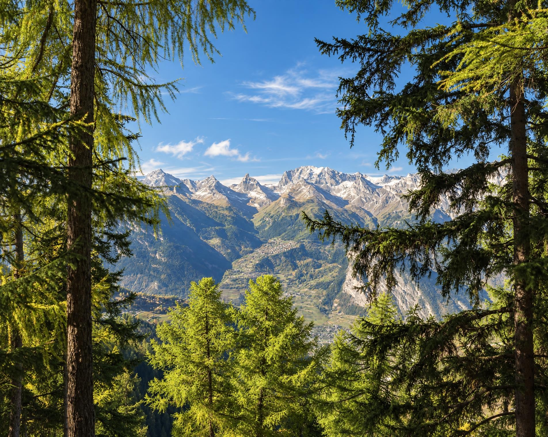
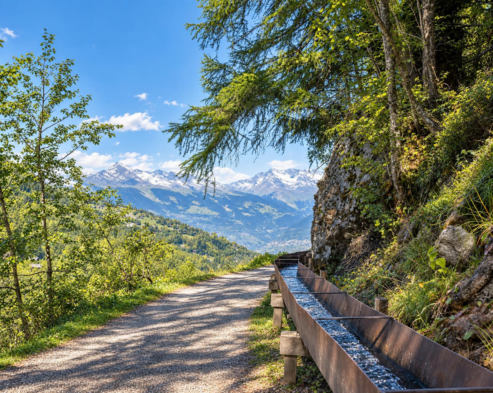
The stage from Nendaz to Veysonnaz is a true gourmet tour. It runs through picturesque countryside in a Valais sun trap above the Rhone Valley. It follows the Grand Bisse de Vex, a historical irrigation channel that is still used. Spectacular views of the Rhone Valley make the tour a real experience.
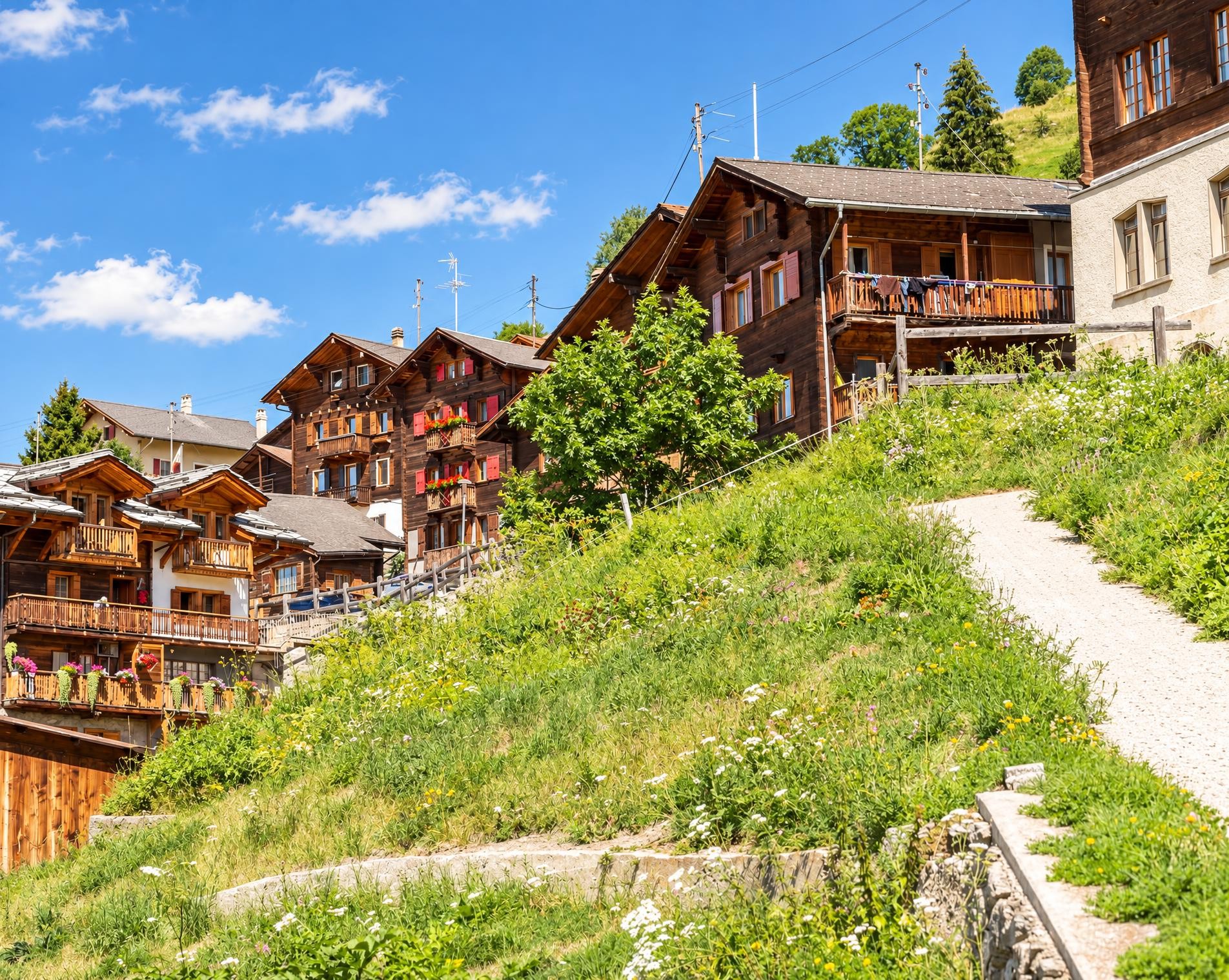
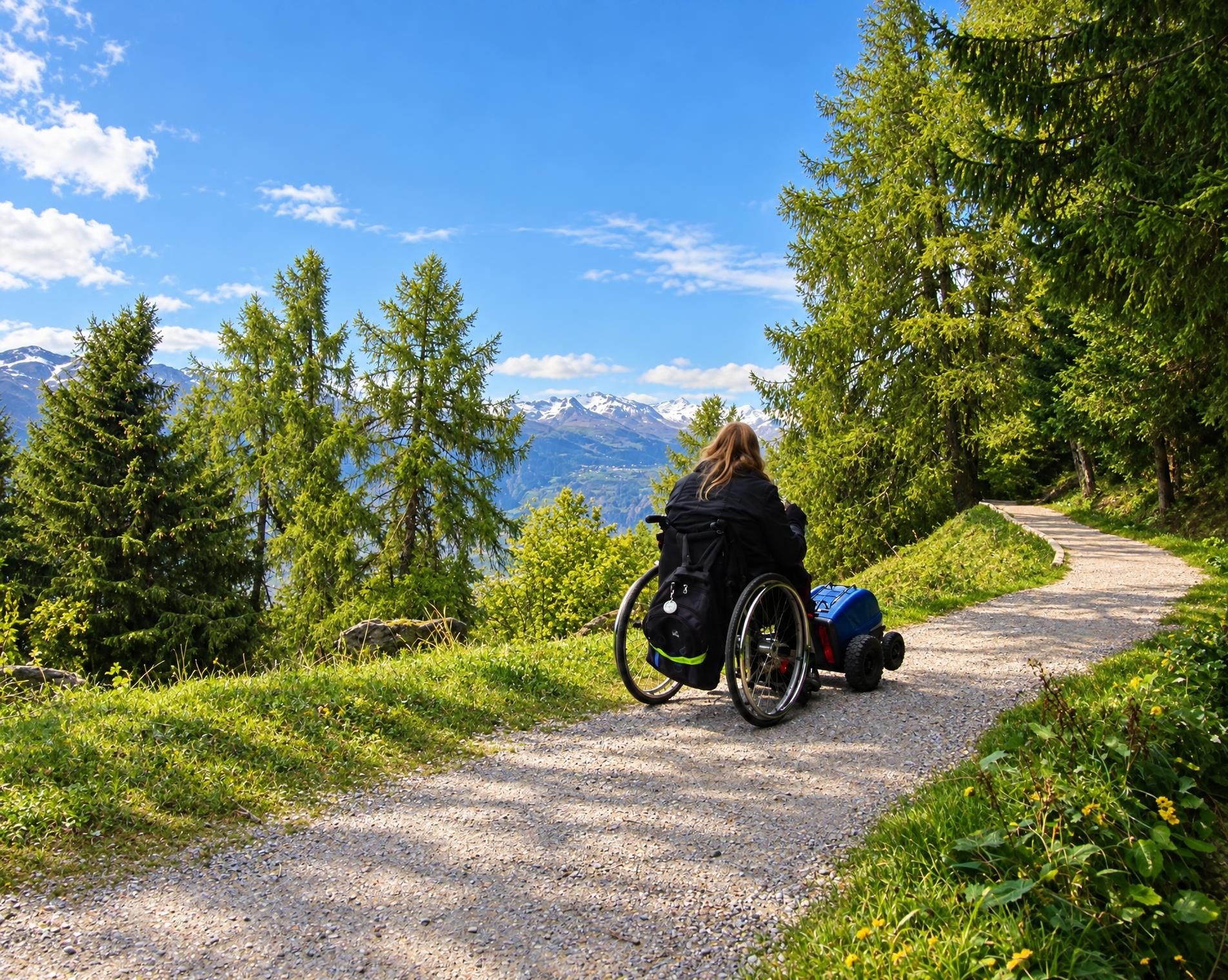
The starting point in Nendaz is just over 200 metres from the Haute-Nendaz (télécabine) stop. The yellow-marked hiking trail initially climbs between the houses before soon entering the forest. With no major steep sections, it gains height gradually; the 300 metres of ascent are comfortably spread over the approximately 13 kilometres.
After just over an hour, the highest point is reached at around 1,550 metres. Near the Pointe de Balavaux, the ascent eases. A little later, the route passes the Restaurant Au Vieux Nendaz and continues with gentle ups and downs. Shaded and open sections alternate between dense forest and open meadows; throughout, the trail remains easy and clearly defined.
In the final third, the first houses begin to draw closer to the trail again. The route descends gently via Verrey and Clèbes, while the forest gradually gives way to meadows and built-up areas. After just over three hours, the hike reaches Veysonnaz and ends directly at the Veysonnaz, télécabine stop.
02/ Along the route
What's along the way
Where the route climbs and where it descends. Hover the profile to find the spot on the map.
03/ Conditions
Current conditions
What to know before you set off. Closures and snow are re-checked every day.
Nendaz: Bisse de Vex - Planchouet - Le Chity
From 15 Aug 2025 – Until 31 Oct 2026
Sturzflut, die die Brücke über den Doussin zerstört hat.
How we check: Every night we match the route against the official closures and detours from the Federal Roads Office (FEDRO). Any reported closure that touches the route shows up here.
How we check: We look up a live public transport connection from your starting point to the stop closest to the trailhead. If it ends further away, the nearest stop may be a cable car or bus that isn't running right now.
How we check: Snow depth estimated daily at the lowest and the highest point of the route. Estimates: check the situation on site.
04/ Getting there
Getting there
From your door to the trailhead and home again, by train and bus or by car. Computed live from the timetable.
Or from
Outbound
Return
05/ Weather
Weather on the way
Forecast for the lowest and the highest point of the route.
Weather
06/ Trail & landscape
Trail & landscape
Which paths you walk on and the landscape they lead through.
07/ Snow
Snow on the route
Snow depths, new snow and forecast. Estimates: check the situation on site before you set off.
Snow Info
Comparative snow depth is only available from November 1 to June 30.
08/ Export
Take the route with you
Load the track onto your GPS device, print a route sheet for the trail or send the route to your hiking group.
Share
Send the link to friends or your hiking group.
Export GPX File
For hiking apps, GPS watches and navigation devices.
Print Route Sheet
A4 with map, elevation profile, waypoints and emergency numbers.