Hike /Schweiz Mobil
Jakobsweg Graubünden, Stage 10/19
LangwiesTschiertschen
- Distance
- 12.0 km
- Duration
- 3:50 h
- Ascent
- 640 m
- Descent
- 660 m
- Difficulty
- Moderate
- Fitness
- Moderate
- Route type
- One way
- Season
- June - October
01/ Overview
The route
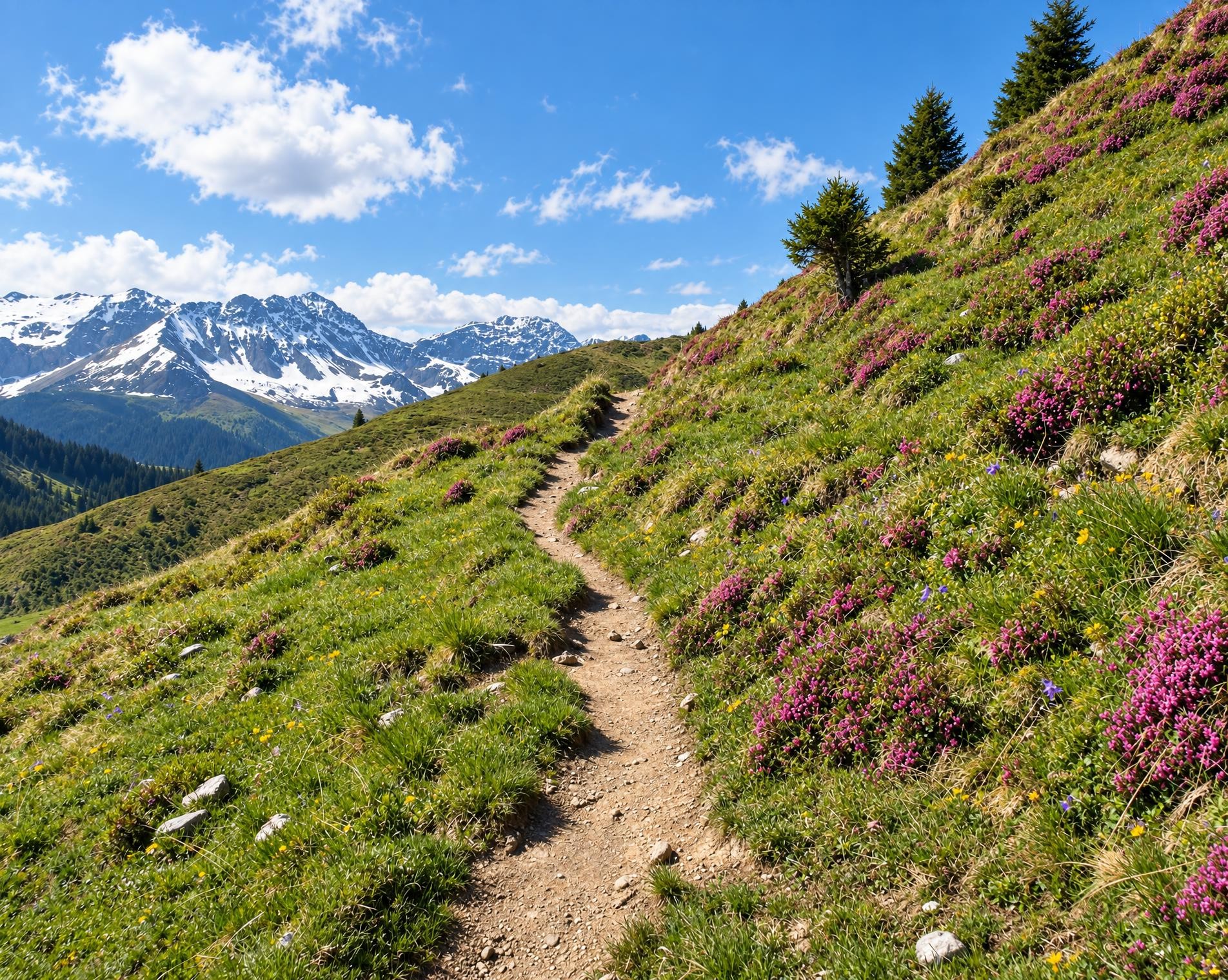
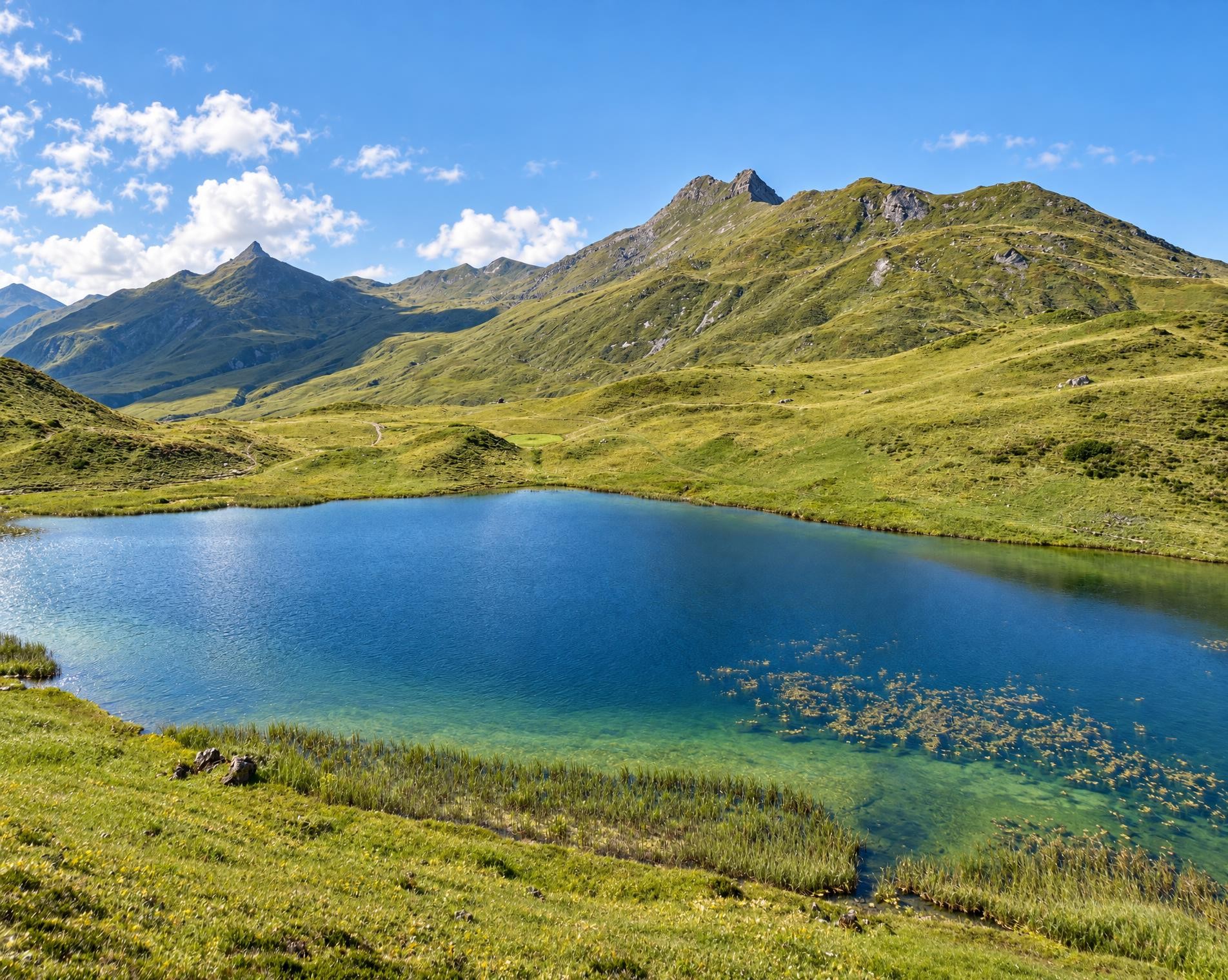
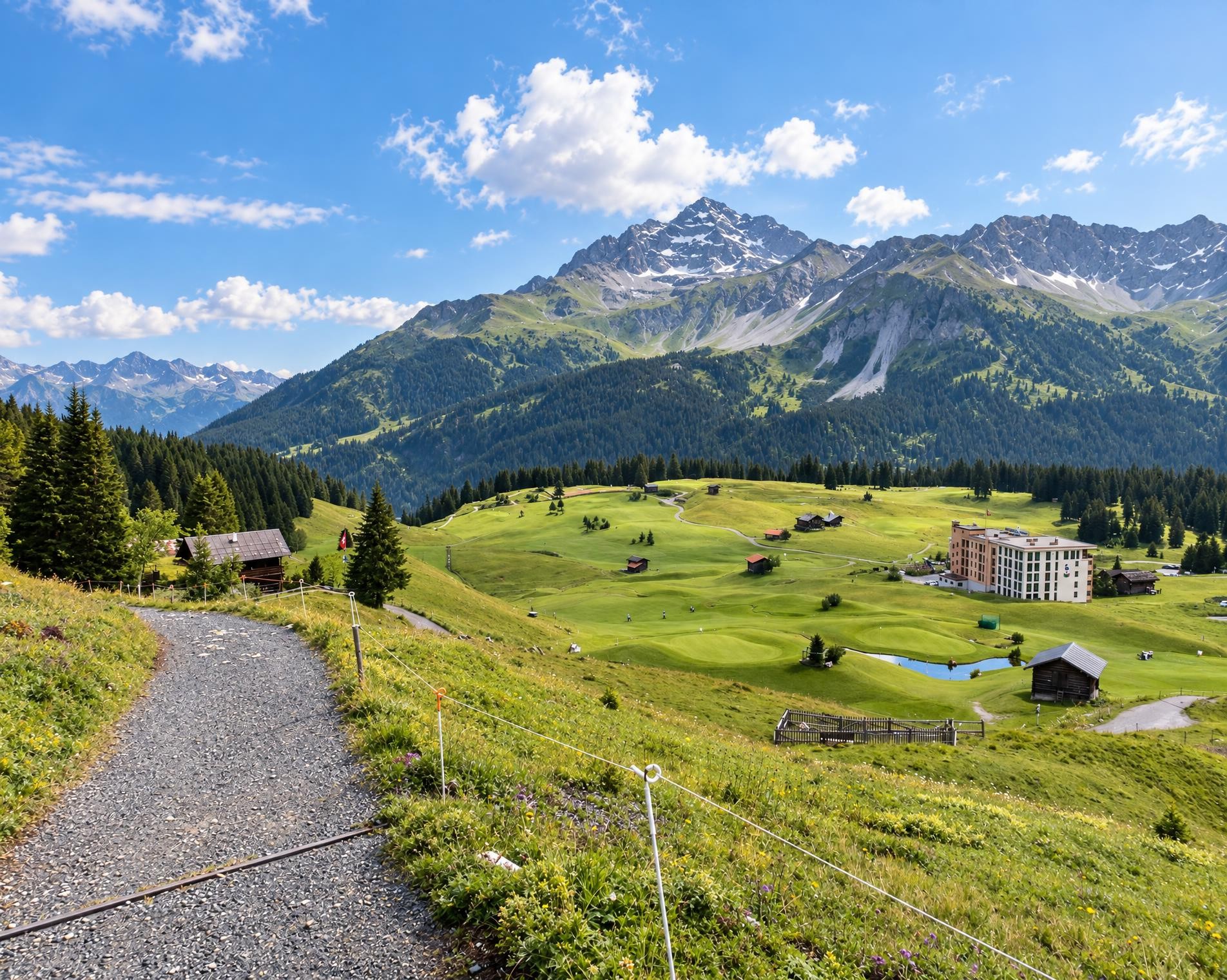
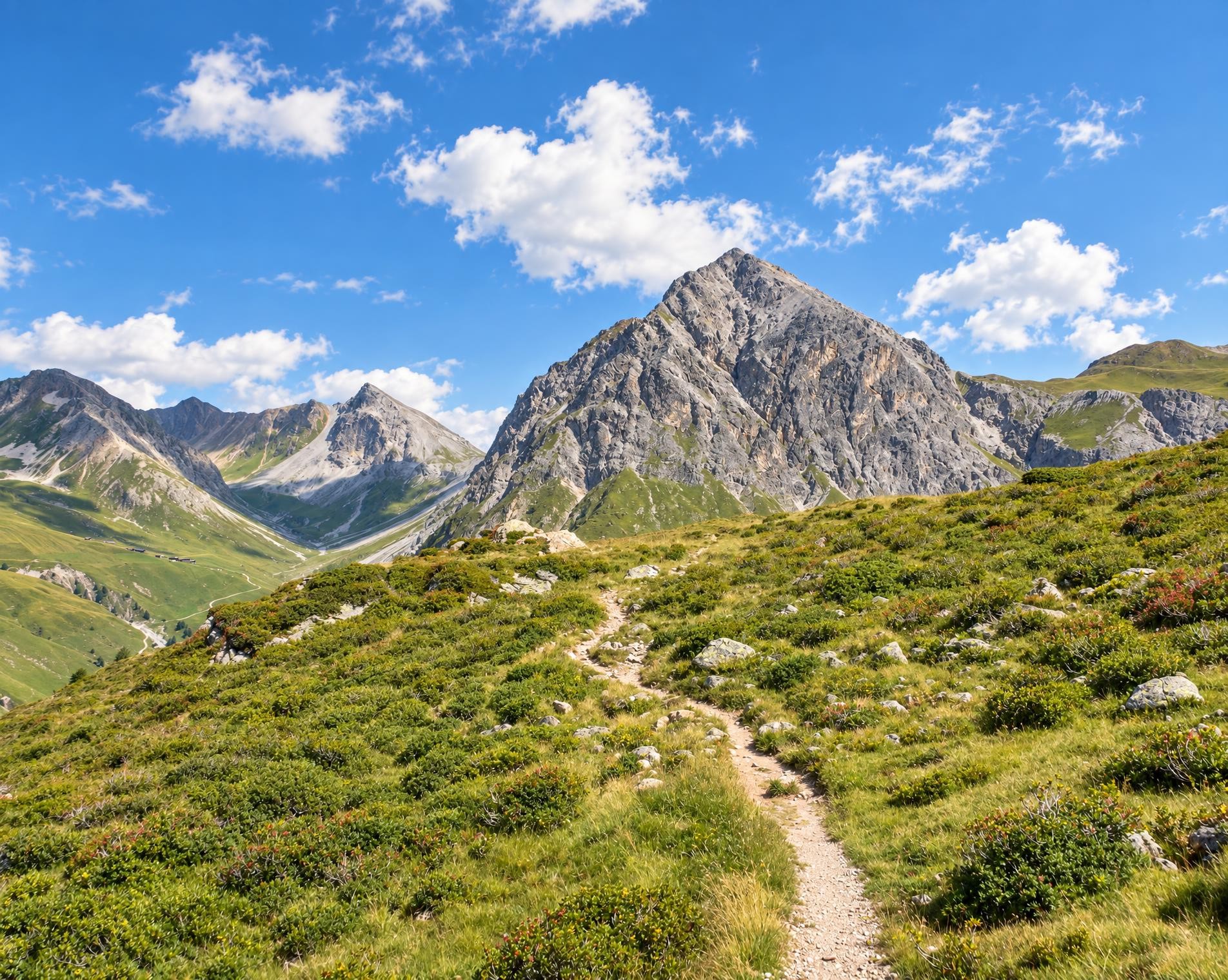
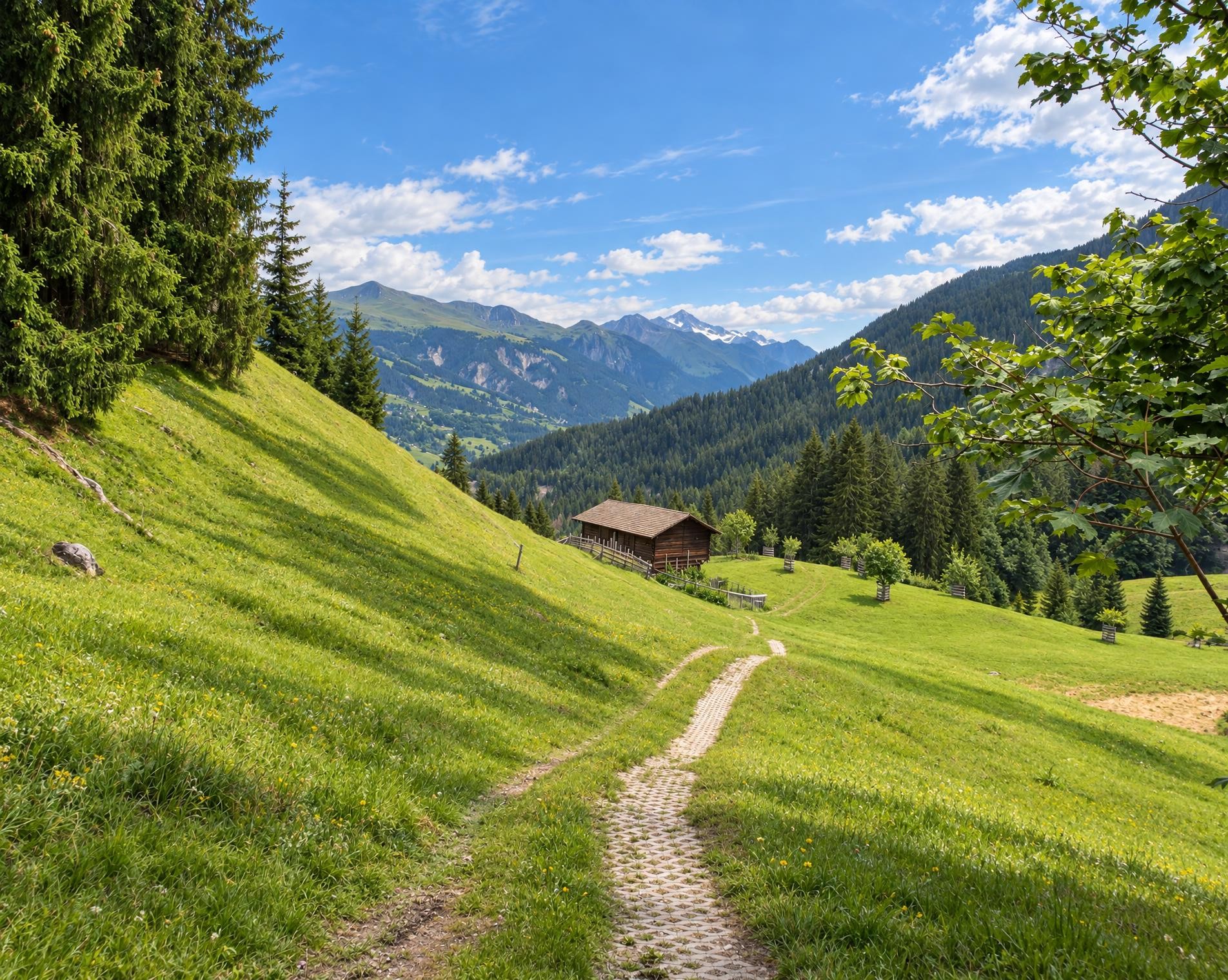
The hike through the wild Schanfigg mountain valley leads in constant ups and downs along the wooded northern slope of the Weisshorn. The deep valley that connects Chur with Arosa is a paradise for nature lovers with its sun terraces, alpine pastures and flower meadows.
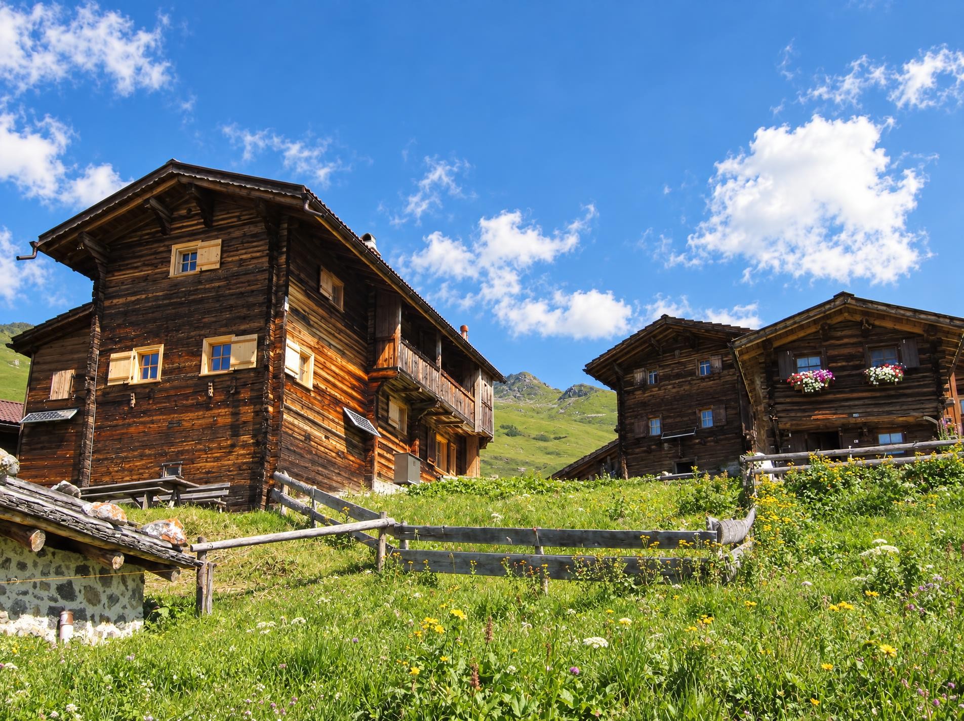
From the Langwies, Abzw. Bahnhof stop, the route initially leads through Langwies. The distinctive tower of the Reformed church marks the start of the hike. Soon, a white-red-white waymarked mountain trail climbs through the forest. Meadows and pastures open up between the trees. After just under three kilometres, the highest point is reached at a little over 1,400 metres.
The route now descends on easier hiking trails to Molinis, the lowest point of the tour. The long descent brings a distinct change: the heights give way to the valley floor and the settlement before the second major climb begins. A short section runs outside the marked hiking trail network.
Alternating between forest and open terrain, the route climbs once more. Towards the end, the trail becomes gentler and passes the Messmermatte barbecue area. After around twelve kilometres and just under four hours, Tschiertschen is reached. The hike ends near the Tschiertschen, Dorf stop.
02/ Along the route
What's along the way
Where the route climbs and where it descends. Hover the profile to find the spot on the map.
03/ Conditions
Current conditions
What to know before you set off. Closures and snow are re-checked every day.
Molinis - Tschirtschen
From 2 Nov 2026 – Until 20 Nov 2026
Infolge Holzschlagarbeiten und Bringung des Holzes mittels Seilkrananlage, wird der Wanderweg gesperrt. Um Ihre Sicherheit zu gewährleisten bitten wir um Verständnis und Einhalten der Sperrungen und Sperrzeiten, damit die Holzschlagarbeiten ungehindert und sicher ausgeführt werden können.
How we check: Every night we match the route against the official closures and detours from the Federal Roads Office (FEDRO). Any reported closure that touches the route shows up here.
How we check: SLF only publishes its snow maps from November 1. Until then we roughly estimate the snow depth at the lowest and the highest point of the route every day from the nearest SLF measuring stations. Check the situation on site.
04/ Getting there
Getting there
From your door to the trailhead and home again, by train and bus or by car. Computed live from the timetable.
Or from
Outbound
Return
05/ Weather
Weather on the way
Forecast for the lowest and the highest point of the route.
Weather
06/ Trail & landscape
Trail & landscape
Which paths you walk on and the landscape they lead through.
Larches count as conifer forest here.
07/ Snow
Snow on the route
Snow depths, new snow and forecast. Estimates: check the situation on site before you set off.
Snow Info
08/ Export
Take the route with you
Load the track onto your GPS device, print a route sheet for the trail or send the route to your hiking group.
Share
Send the link to friends or your hiking group.
Export GPX File
For hiking apps, GPS watches and navigation devices.
Print Route Sheet
A4 with map, elevation profile, waypoints and emergency numbers.