Hike /Schweiz Mobil
Sentier du patrimoine de Romainmôtier
Romainmôtier
- Distance
- 13.0 km
- Duration
- 3:40 h
- Ascent
- 400 m
- Descent
- 400 m
- Difficulty
- Easy
- Fitness
- Moderate
- Route type
- Loop
01/ Overview
The route
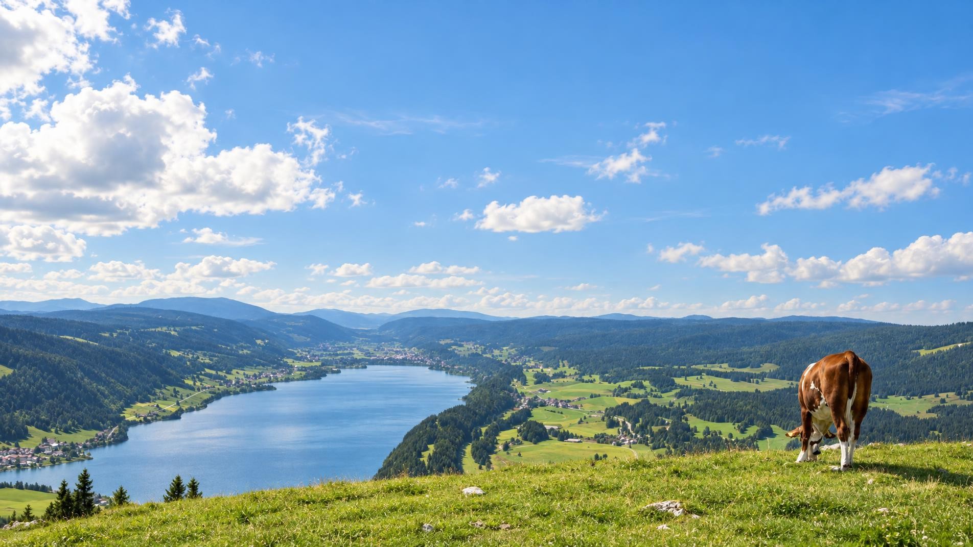
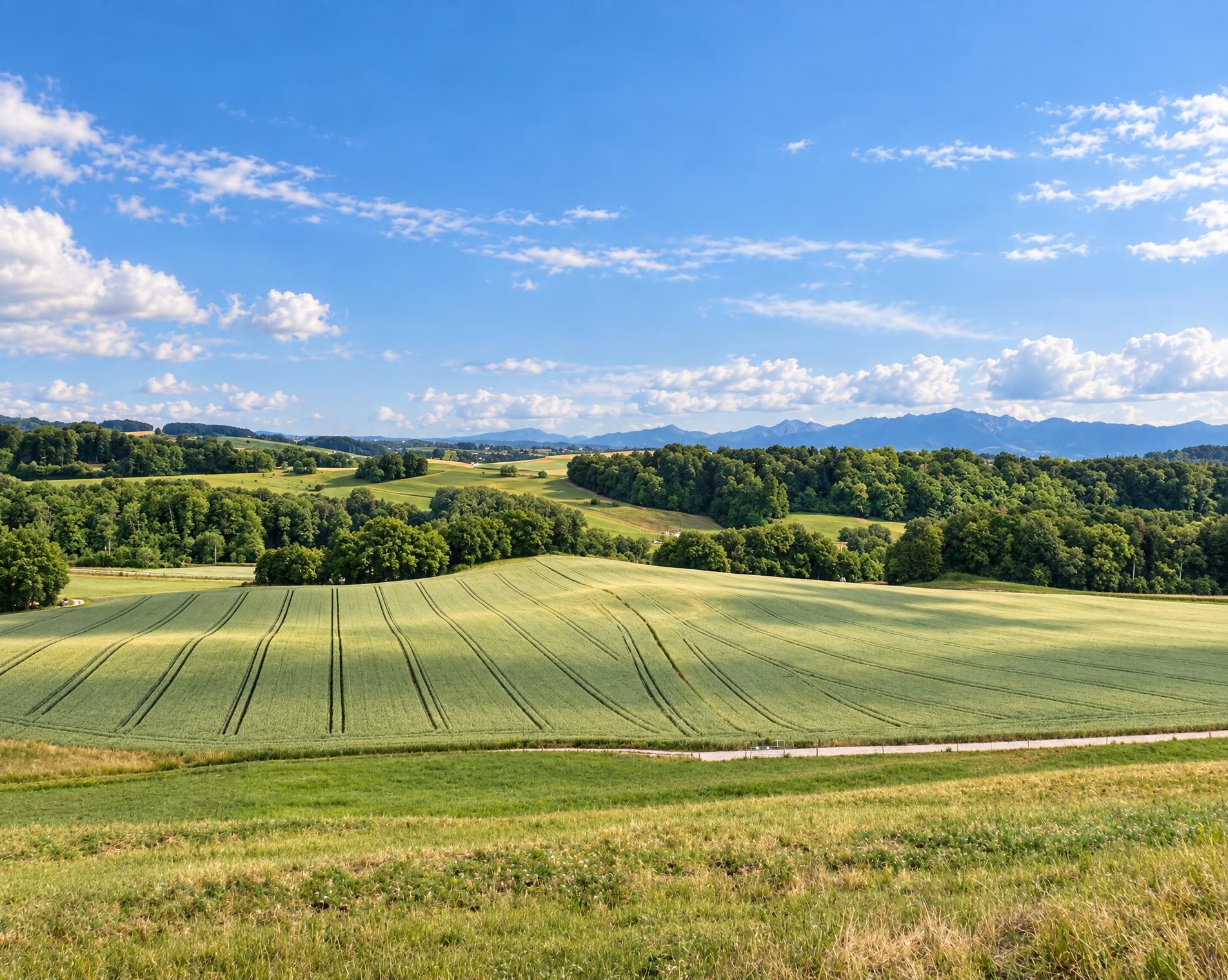
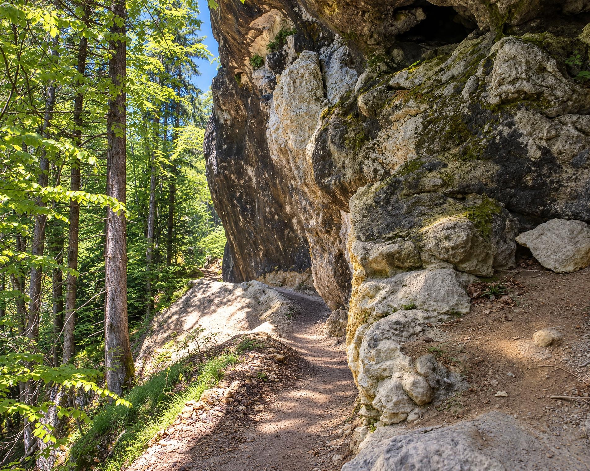
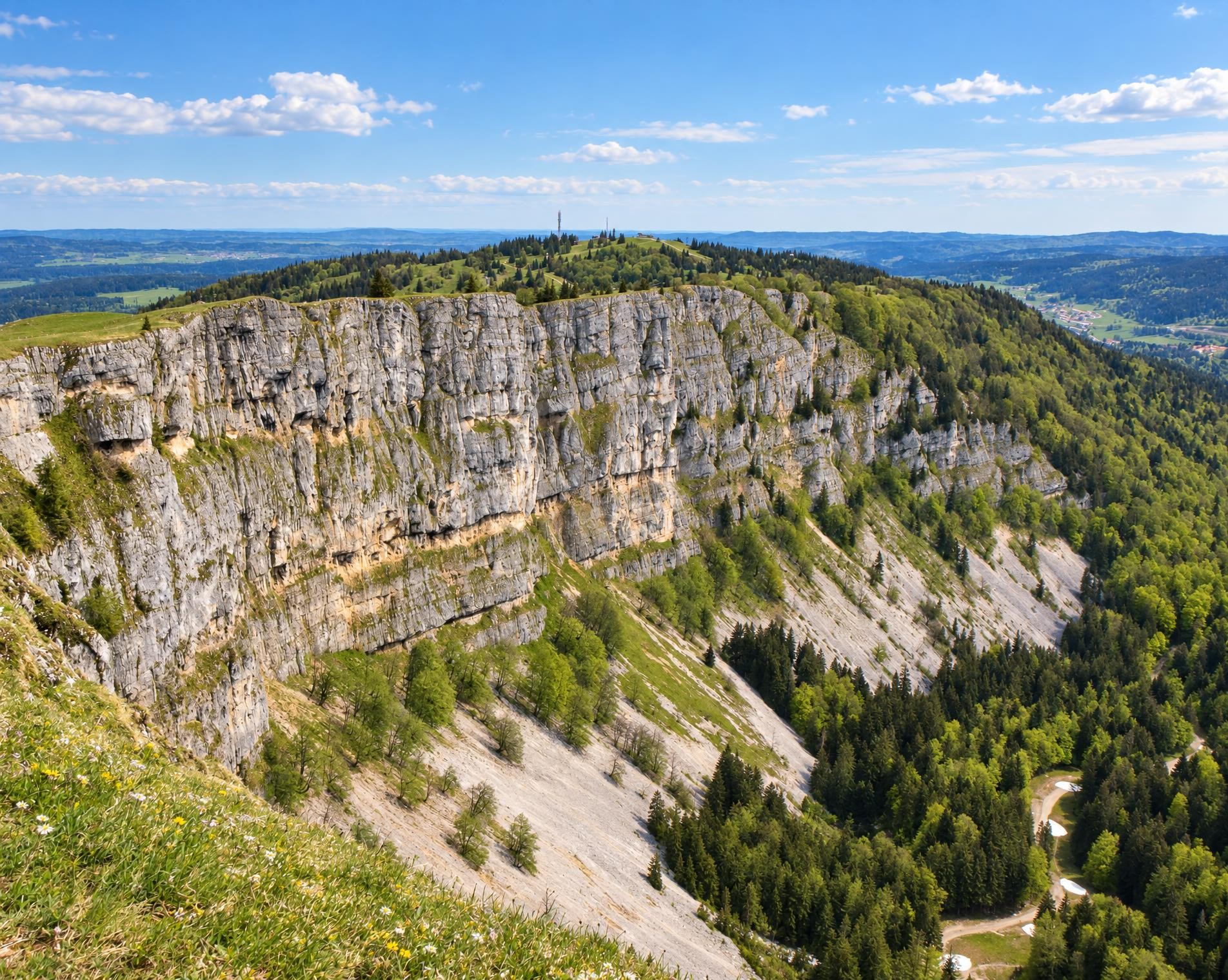
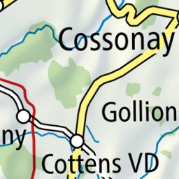
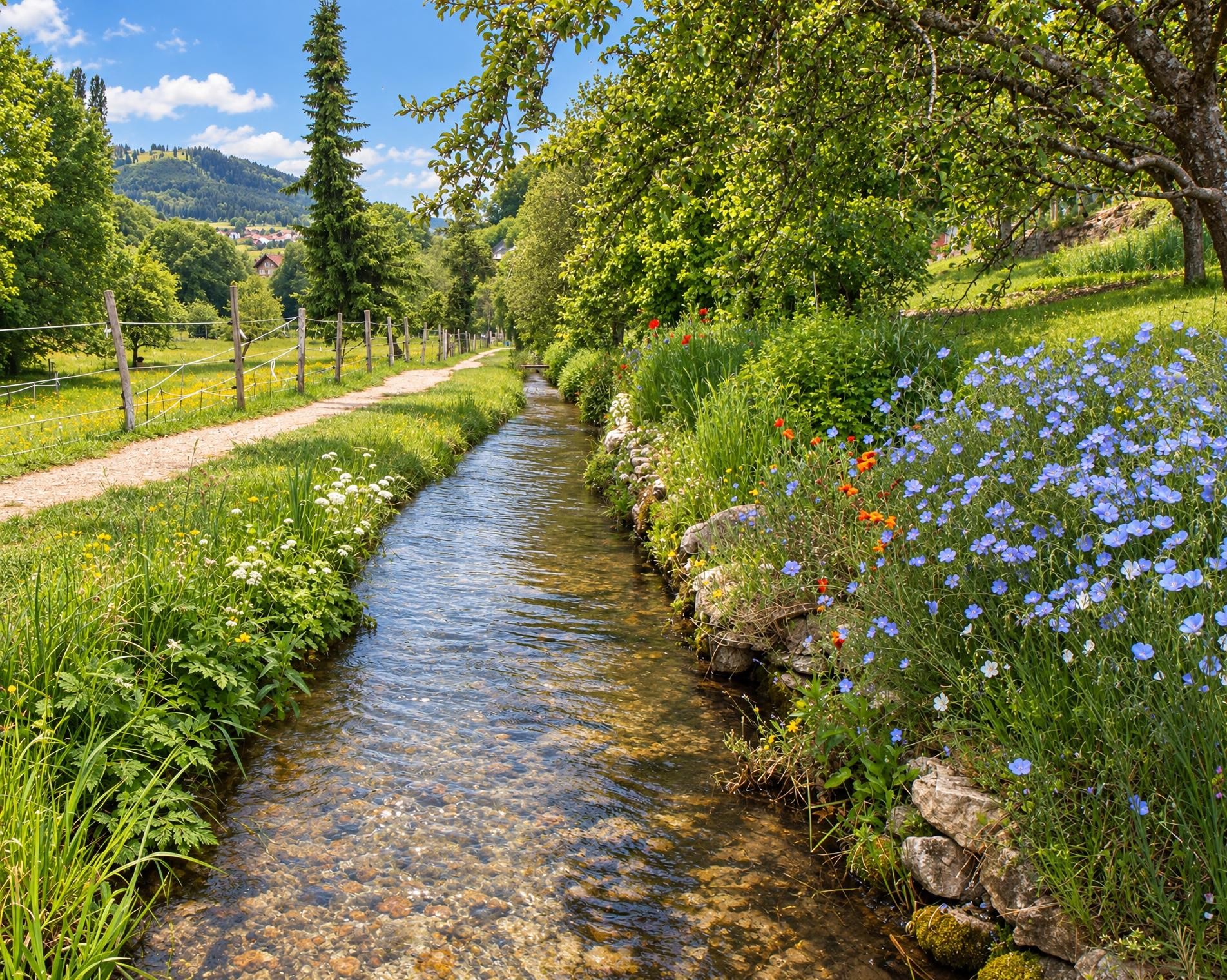
The forces of Nature have wrought the landscapes of Nozon Valley, a preserved environment of natural and wild Middle-Age beauty. This trail is a combination of a hike in a natural environment and the discovery of local historical heritage.
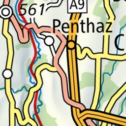
The circular hike begins at the Romainmôtier, église bus stop. Right at the start, the trail passes the former abbey church of Saint-Pierre-et-Saint-Paul, which now serves as a Reformed church. It then follows the Nozon and leads along broad hiking trails through Croy and into the forest.
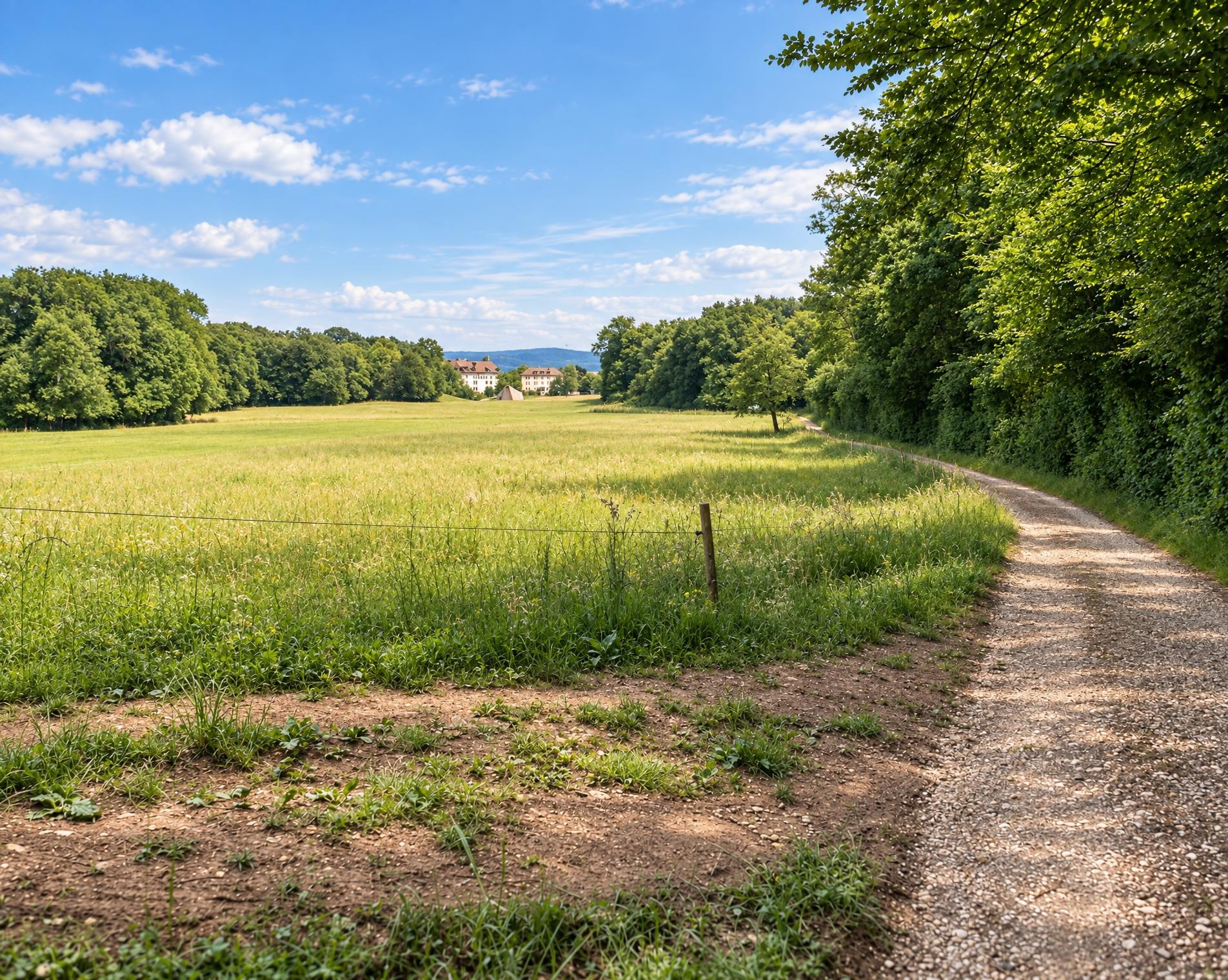
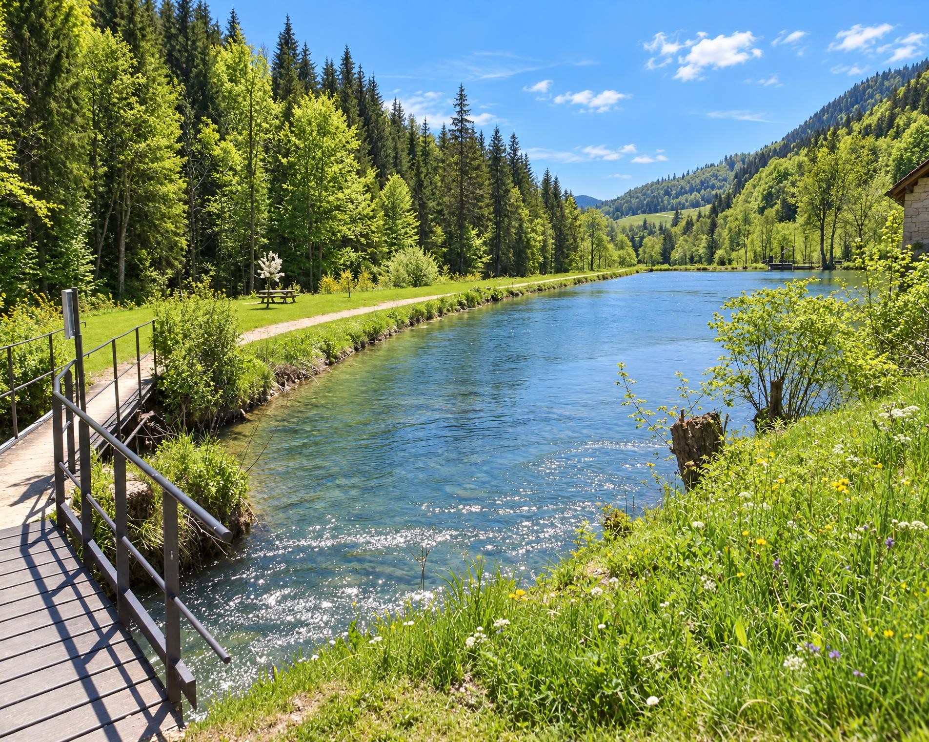
In the shady valley, the water repeatedly draws close to the trail. One of the defining spots is the Cascade du Dard, where the Nozon tumbles over a rocky ledge. The stream then remains a constant thread for much of the route, as stretches of forest alternate with open meadows. After the lowest section of the circuit, the route gradually climbs again. At Sur le Mont, it reaches its highest point at around 710 m. From there, the hiking trail descends to the Nozon and finally returns to Romainmôtier. After 13 kilometres, around 400 metres of ascent and just over three and a half hours, the circuit ends back at the bus stop.
02/ Along the route
What's along the way
Where the route climbs and where it descends. Hover the profile to find the spot on the map.
03/ Conditions
Current conditions
What to know before you set off. Closures and snow are re-checked every day.
Grand Chaney
From 15 Sept 2026 – Until 28 Feb 2027
Zahlreiche trockene Bäume gefährden die Sicherheit auf dem Wanderweg. Bis zur Sicherung des Weges sollten andere signalisierten Wanderwege genutzt werden.
How we check: Every night we match the route against the official closures and detours from the Federal Roads Office (FEDRO). Any reported closure that touches the route shows up here.
How we check: SLF only publishes its snow maps from November 1. Until then we roughly estimate the snow depth at the lowest and the highest point of the route every day from the nearest SLF measuring stations. Check the situation on site.
04/ Getting there
Getting there
From your door to the trailhead and home again, by train and bus or by car. Computed live from the timetable.
Or from
Outbound
Return
05/ Weather
Weather on the way
Forecast for the lowest and the highest point of the route.
Weather
06/ Trail & landscape
Trail & landscape
Which paths you walk on and the landscape they lead through.
Larches count as conifer forest here.
07/ Snow
Snow on the route
Snow depths, new snow and forecast. Estimates: check the situation on site before you set off.
Snow Info
08/ Export
Take the route with you
Load the track onto your GPS device, print a route sheet for the trail or send the route to your hiking group.
Share
Send the link to friends or your hiking group.
Export GPX File
For hiking apps, GPS watches and navigation devices.
Print Route Sheet
A4 with map, elevation profile, waypoints and emergency numbers.