Hike /Schweiz Mobil
ViaFrancigena
(Canterbury)–BallaiguesCol du Gd St-Bernard–(Rom)
- Distance
- 200.0 km
- Duration
- –
- Ascent
- 5600 m
- Descent
- 4000 m
- Difficulty
- Easy
- Fitness
- Hard
- Route type
- One way
01/ Overview
The route
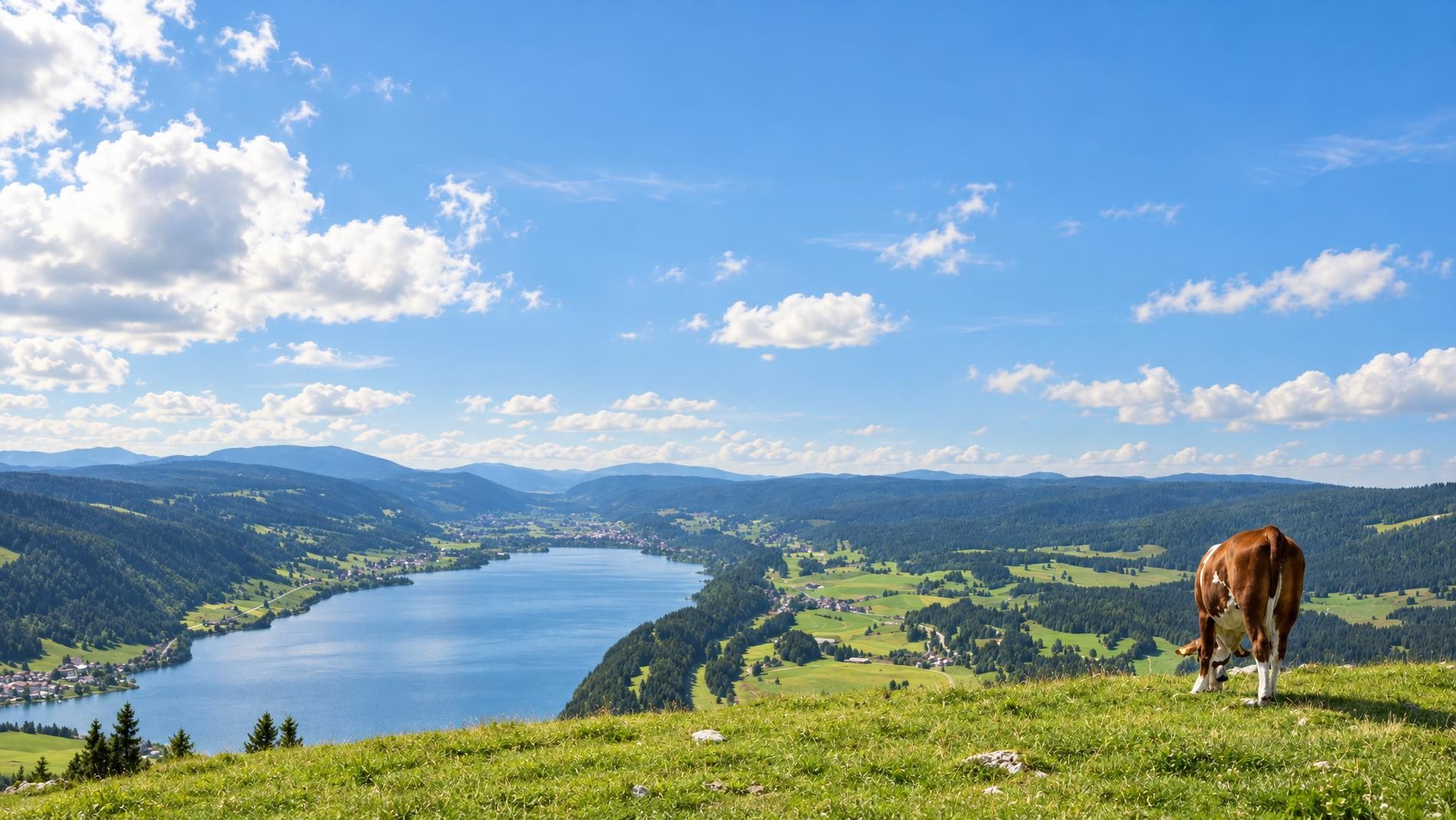
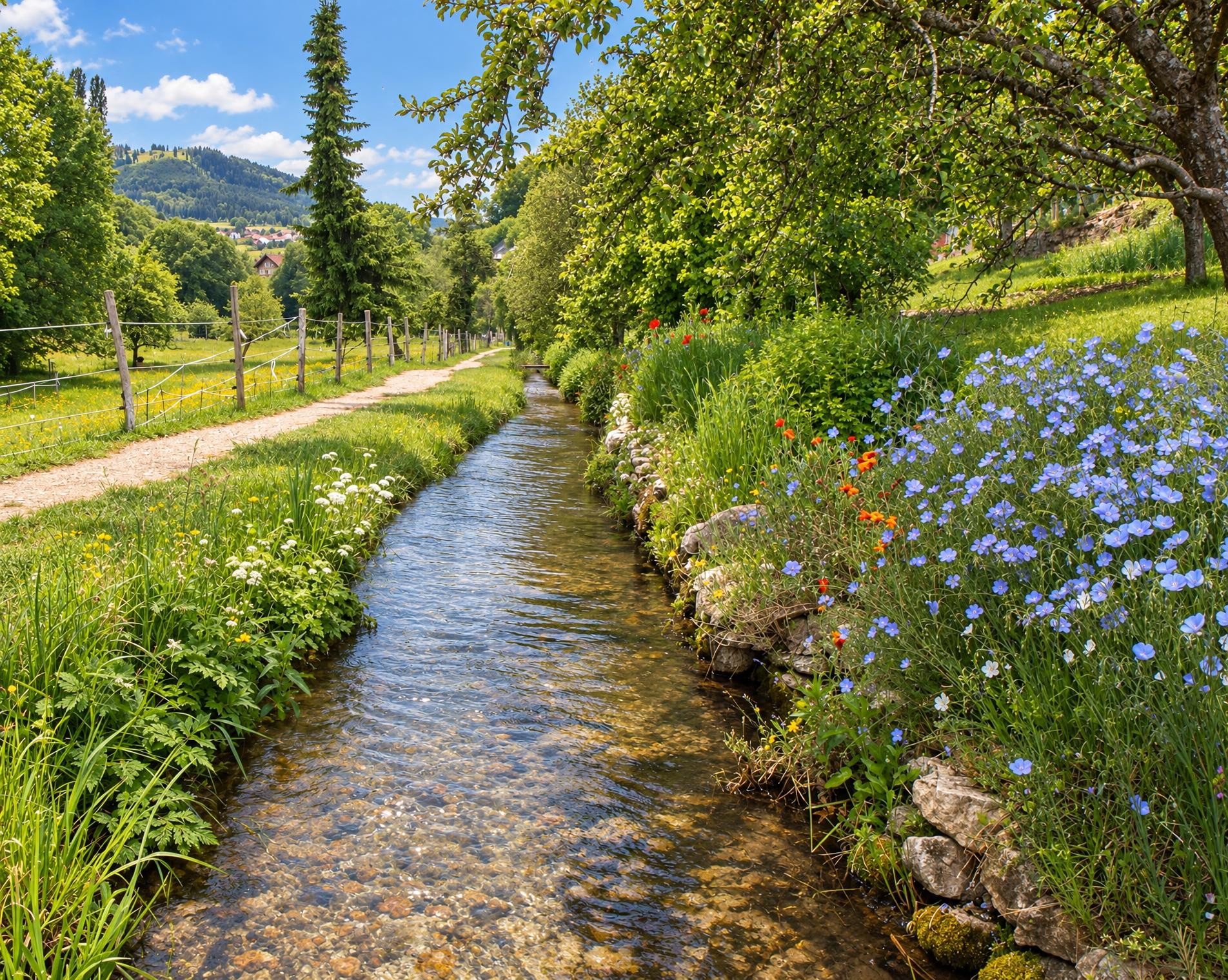
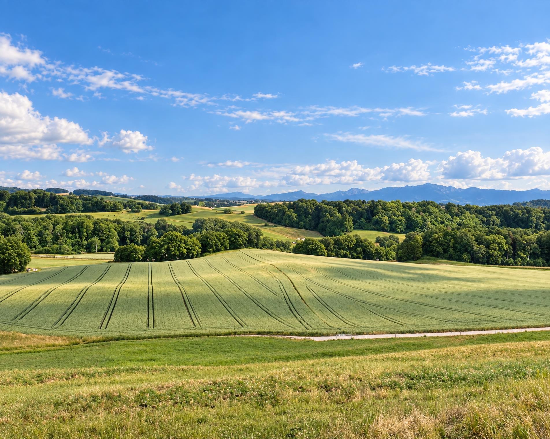
Established 2000 years ago, in medieval times the ViaFrancigena became the most important pilgrims’ path in Europe. In Switzerland it leads through beautiful Jura and Alpine landscapes, the stage on the Grossen St. Bernhard being particularly magnificent.
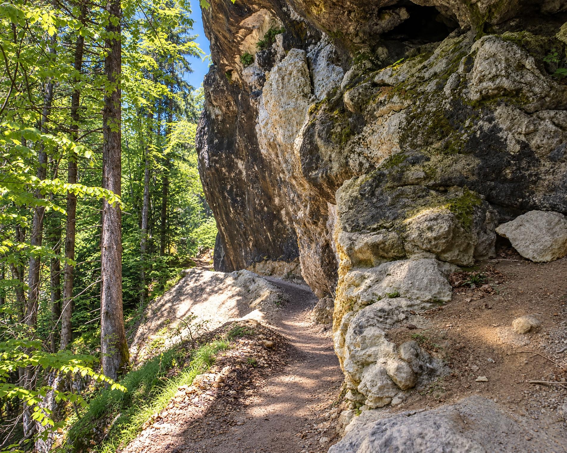
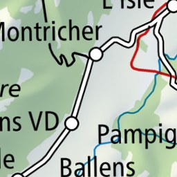
The route starts on the outskirts of Ballaigues; the nearest public transport stop, Vallorbe, Le Creux, is around 550 metres away. Across open meadows and through stretches of woodland, the hiking trail leads via Romainmôtier and La Sarraz towards Lausanne. The first stages alternate between settlements and broad, open countryside.
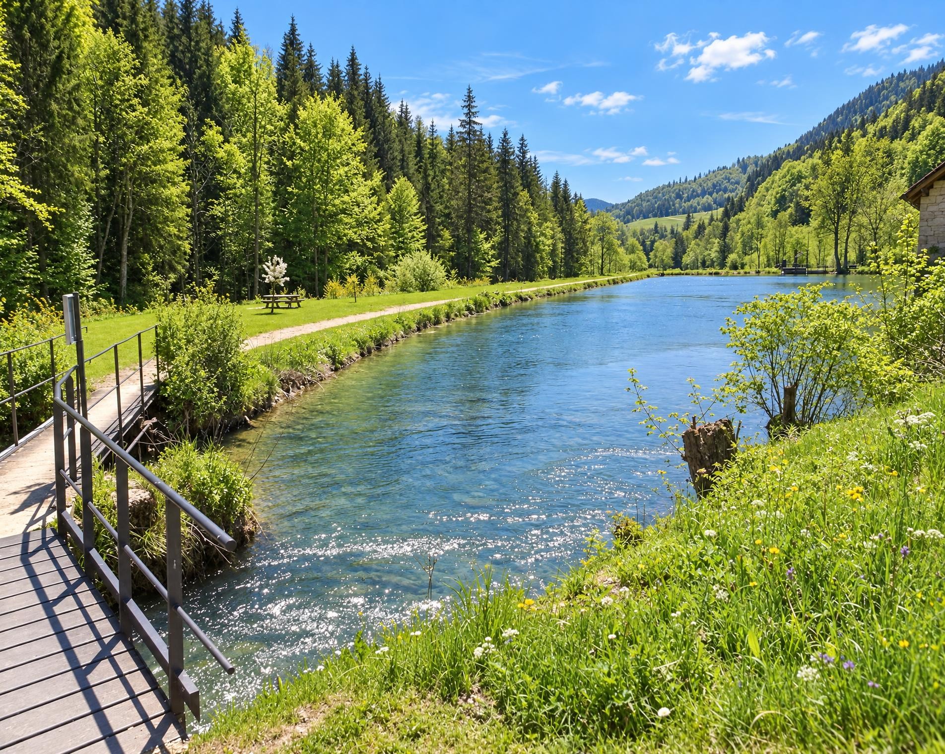
The character of the route changes at Lake Geneva. From Lausanne, it follows the lakeshore for a long stretch, passing through Lutry, Cully and Vevey before reaching Montreux. Shortly before Villeneuve, it passes the medieval Chillon Castle on its island. The route then continues via Aigle and Saint-Maurice into the Rhône Valley and onwards to Martigny.
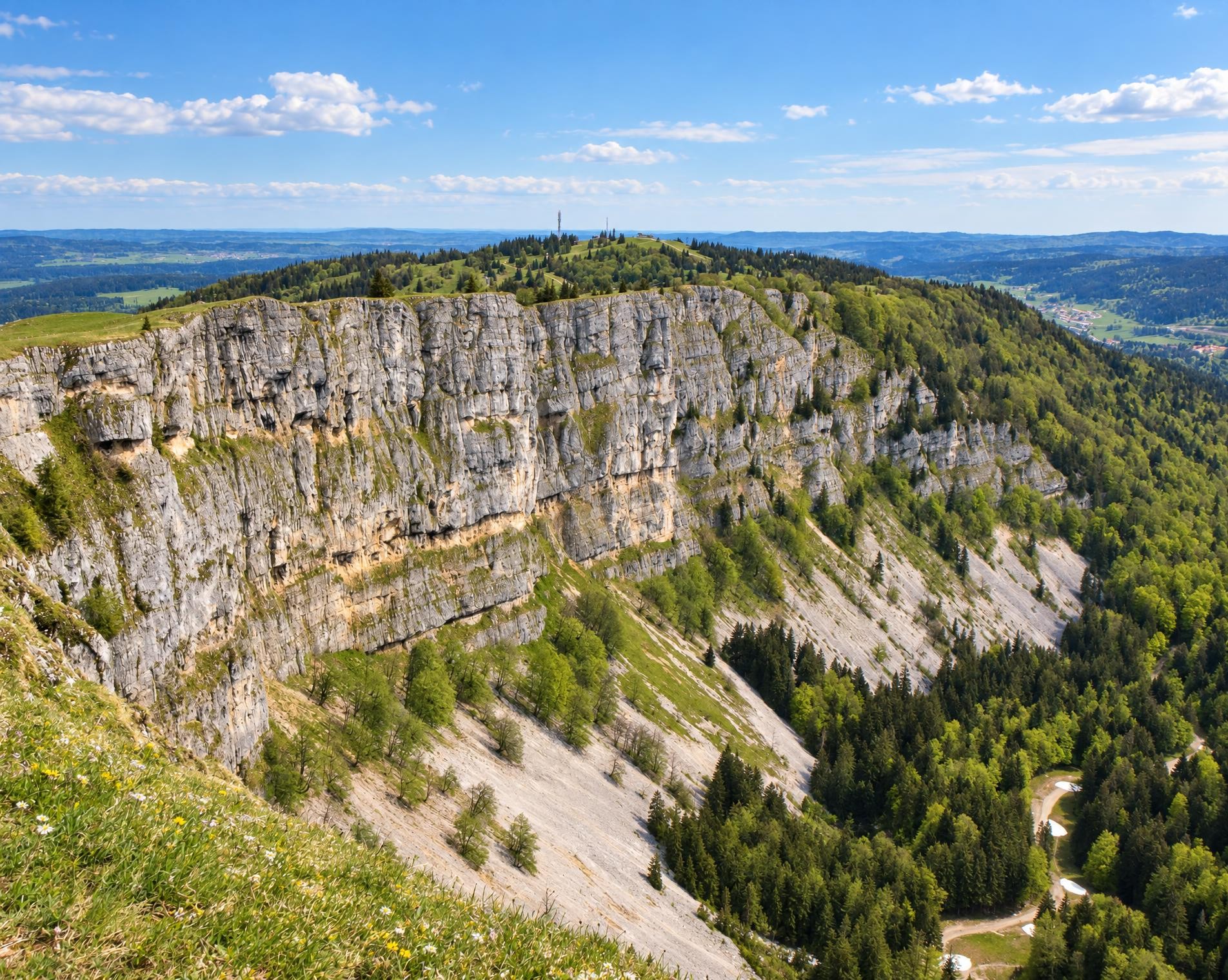
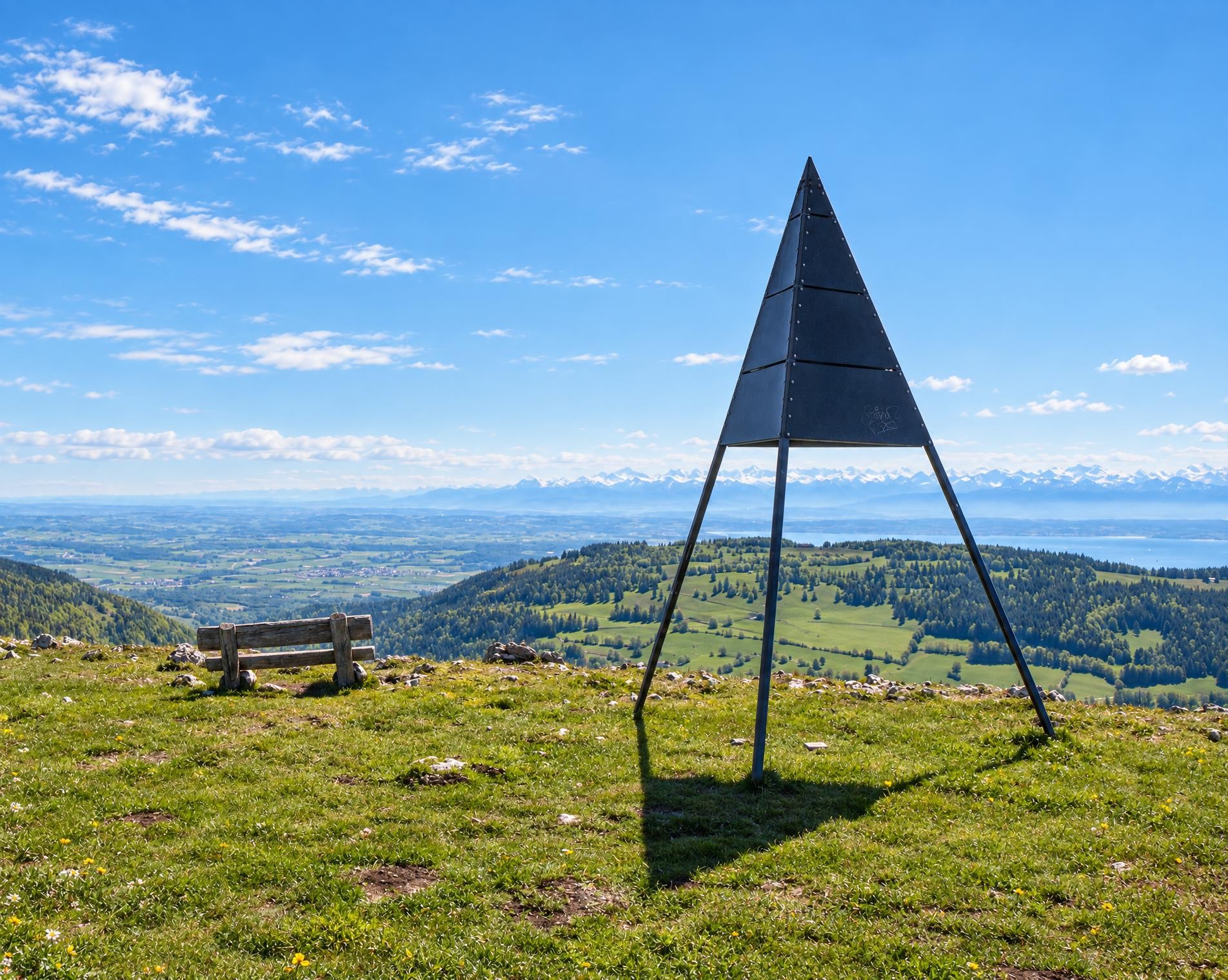
Beyond Sembrancher, the long final ascent through the Val d’Entremont begins. Via Orsières, Liddes and Bourg-Saint-Pierre, the trail steadily gains altitude and skirts Lac des Toules. At the Col du Grand-Saint-Bernard, a final climb leads to the highest point at just under 2,500 m, where the route ends after around 200 kilometres and almost 59 hours. The Le Grand-St-Bernard, Hospice public transport stop is around 500 metres away.
02/ Along the route
What's along the way
Where the route climbs and where it descends. Hover the profile to find the spot on the map.
03/ Conditions
Current conditions
What to know before you set off. Closures and snow are re-checked every day.
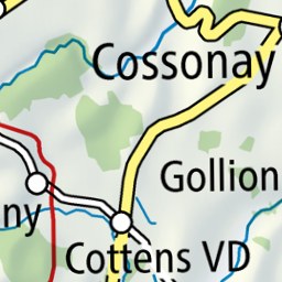
Cossonay - Penthalaz
From 22 Feb 2024 – Until 27 Nov 2026
Chemin de la Venoge
From 14 Nov 2025 – Until 30 Oct 2026
Die Sicherheit des Weges entlang und oberhalb des Wasserlaufs ist beeinträchtigt. Erhöhte Erosionsgefahr. Nehmen Sie zu Ihrer Sicherheit die ausgeschilderte Umleitung.
Place de la gare - Orbe
From 12 Dec 2025 – Until 4 Nov 2026
Rives de la Venoge
From 7 Sept 2026 – Until 24 Dec 2026
Aufgrund von Bauarbeiten sind die Wege entlang der Venoge für Fussgänger gesperrt. Bitte nutzen Sie die ausgeschilderte Umleitung.
How we check: Every night we match the route against the official closures and detours from the Federal Roads Office (FEDRO). Any reported closure that touches the route shows up here.
How we check: We look up a live public transport connection from your starting point to the stop closest to the trailhead. If it ends further away, the nearest stop may be a cable car or bus that isn't running right now.
How we check: Snow depth estimated daily at the lowest and the highest point of the route. Estimates: check the situation on site.
04/ Getting there
Getting there
From your door to the trailhead and home again, by train and bus or by car. Computed live from the timetable.
Or from
Outbound
Return
05/ Weather
Weather on the way
Forecast for the lowest and the highest point of the route.
Weather
06/ Trail & landscape
Trail & landscape
Which paths you walk on and the landscape they lead through.
07/ Snow
Snow on the route
Snow depths, new snow and forecast. Estimates: check the situation on site before you set off.
Snow Info
Comparative snow depth is only available from November 1 to June 30.
08/ Export
Take the route with you
Load the track onto your GPS device, print a route sheet for the trail or send the route to your hiking group.
Share
Send the link to friends or your hiking group.
Export GPX File
For hiking apps, GPS watches and navigation devices.
Print Route Sheet
A4 with map, elevation profile, waypoints and emergency numbers.