Hike /Schweiz Mobil
Sentiero Lago di Lugano
Lugano (Magliaso)Mendrisio
- Distance
- 135.0 km
- Duration
- –
- Ascent
- 9000 m
- Descent
- 9600 m
- Difficulty
- Moderate
- Fitness
- Hard
- Route type
- One way
01/ Overview
The route
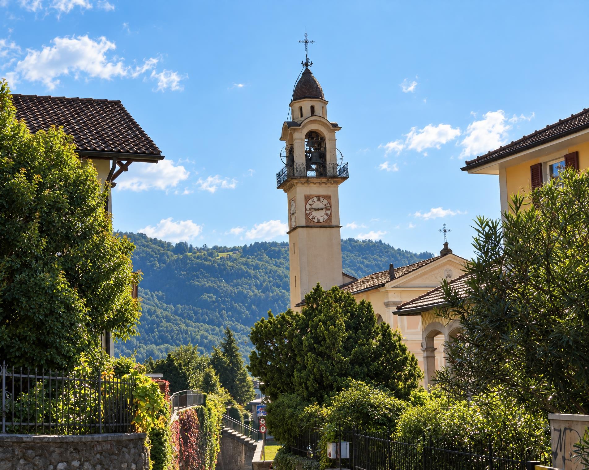
Those who have hiked these nine stages know the Sottoceneri through and through: from the pre-Alpine mountains to the Mediterranean shores, from mountain huts to grottos surrounded by vineyards, the Sottoceneri presents itself in all its diversity.
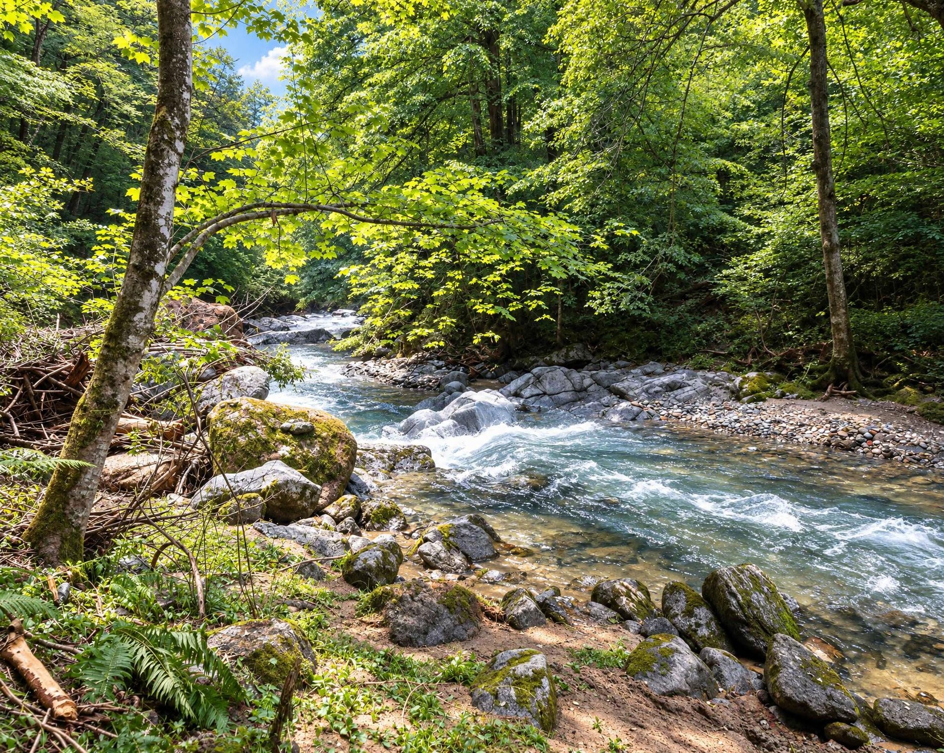
From Magliaso station, the long-distance route leads out of the settlements of the Malcantone and up to the open heights of the Lugano Prealps. The mountain trail, mostly marked white-red-white, runs through woodland and across pastures to Monte Tamaro, later traverses Cima di Medeglia and reaches Capanna Monte Bar. A few short sections lie outside the marked hiking trail network.
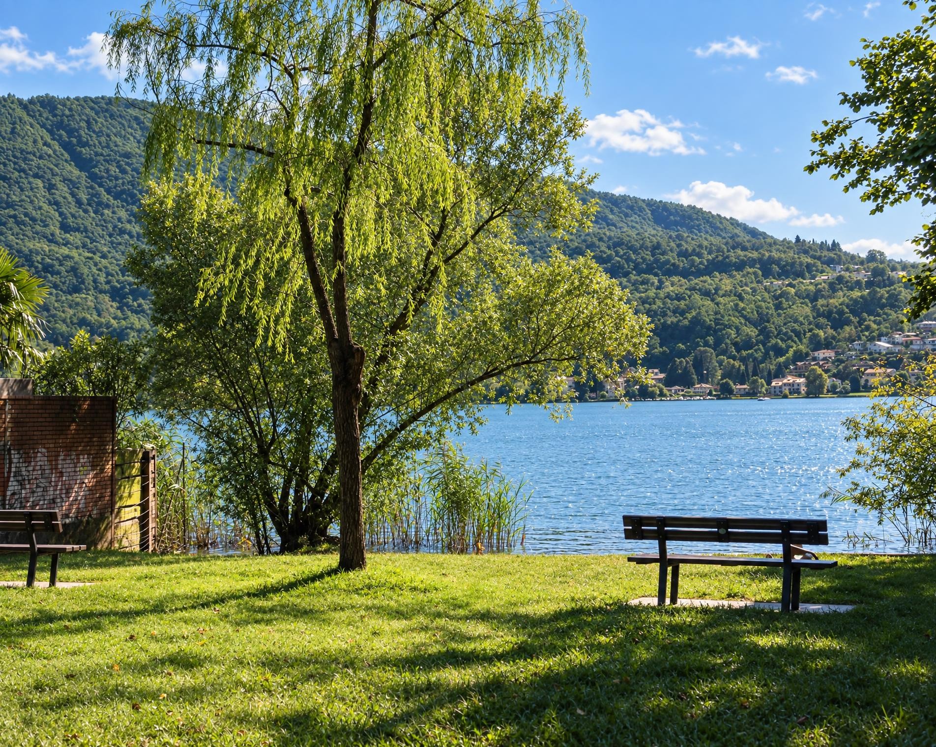
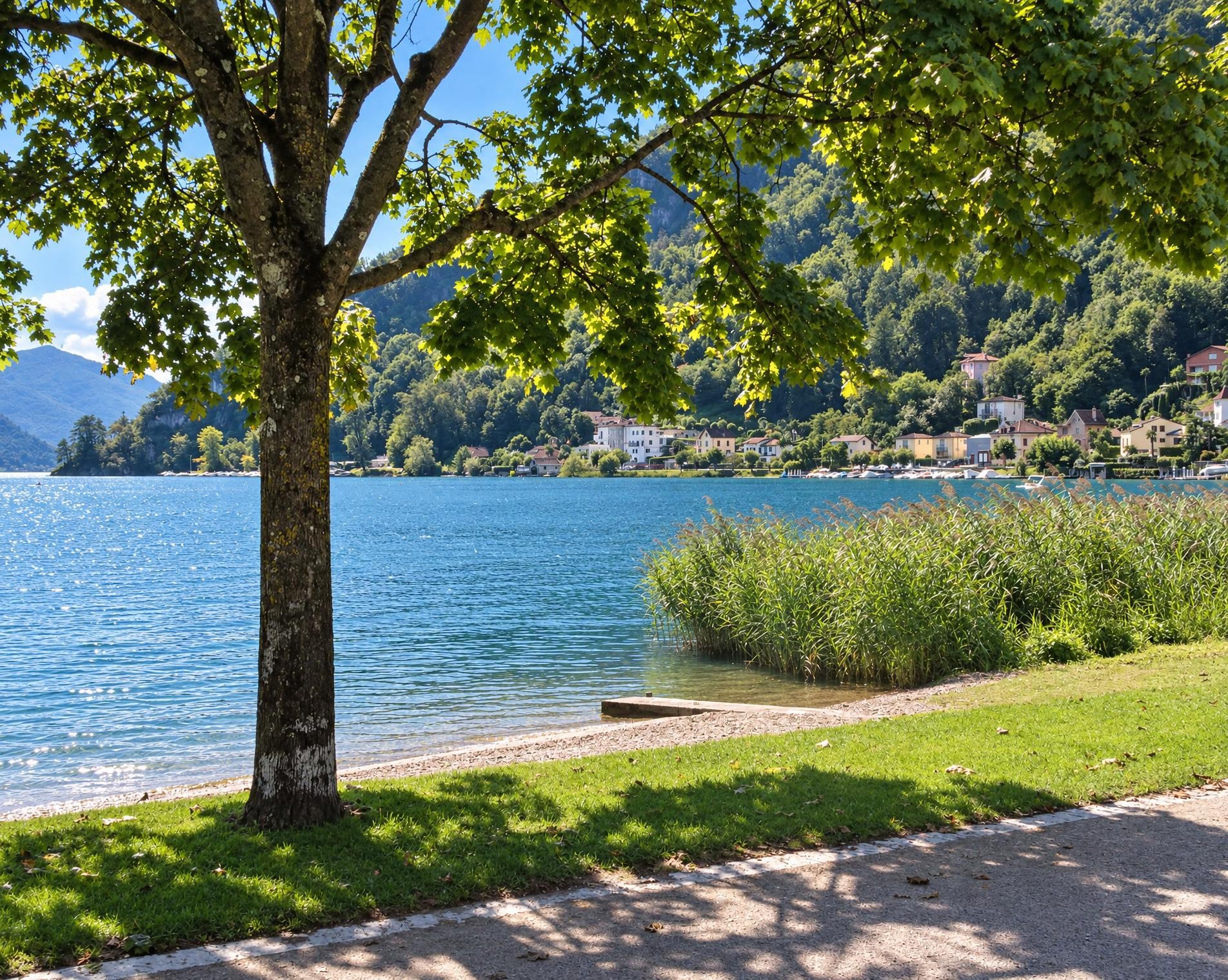
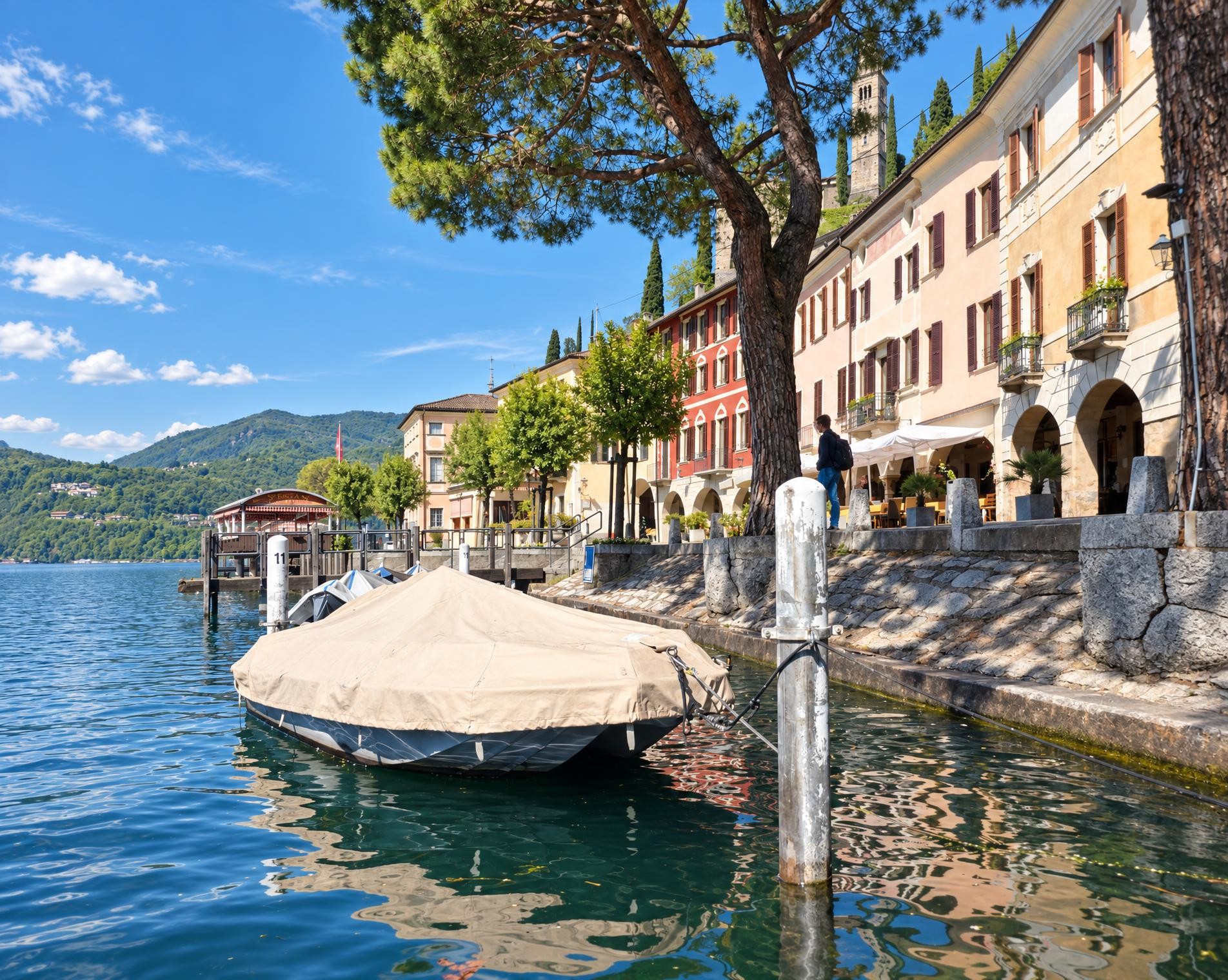
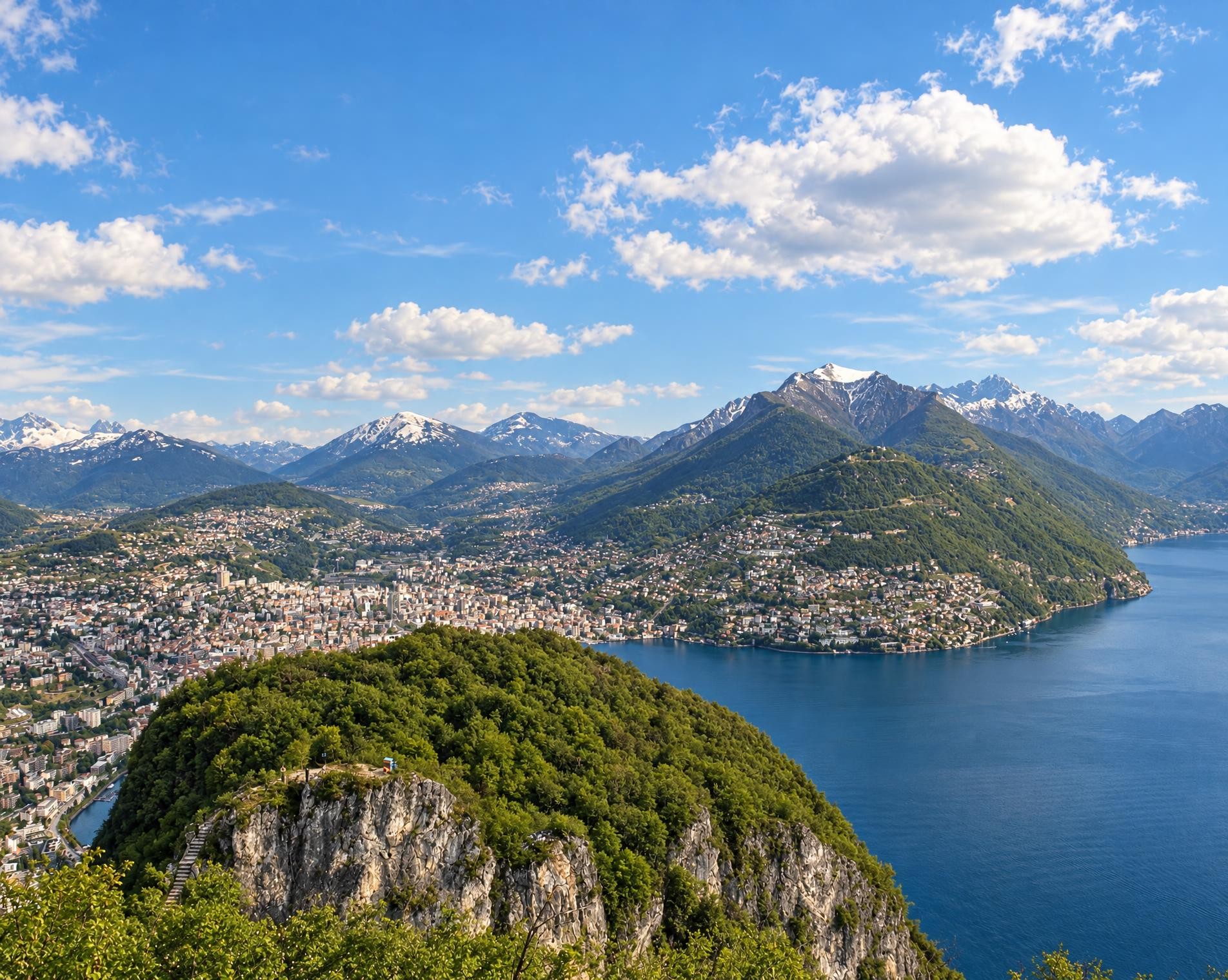
On Monte Gazzirola, the route reaches its highest point at just over 2,100 m. It then continues via Passo San Lucio and Monte Boglia down to Lugano. Beyond the city, it climbs again on the slopes of Monte San Salvatore and reaches the shore of Lake Lugano via Carona and Morcote.
From Brusino Arsizio, the scenery changes once more between woodland, open ridges and villages. The route leads via Meride and the heights of Monte Generoso into the Muggiotal. Towards the end, the path follows the Breggia before reaching Mendrisio and the nearby railway station. A little over 52½ hours of walking time should be allowed for the roughly 135 kilometres and around 9,000 metres of ascent.
02/ Along the route
What's along the way
Where the route climbs and where it descends. Hover the profile to find the spot on the map.
03/ Conditions
Current conditions
What to know before you set off. Closures and snow are re-checked every day.
Tamaro - La Manèra
From 6 Jun 2024 – Until 27 May 2027
Weg wegen Bauarbeiten gesperrt, bitte Umleitung beachten. An Wochenenden geöffnet. Voraussichtlich werden die Bauarbeiten im Juni 2027 abgeschlossen.
How we check: Every night we match the route against the official closures and detours from the Federal Roads Office (FEDRO). Any reported closure that touches the route shows up here.
How we check: We look up a live public transport connection from your starting point to the stop closest to the trailhead. If it ends further away, the nearest stop may be a cable car or bus that isn't running right now.
How we check: Snow depth estimated daily at the lowest and the highest point of the route. Estimates: check the situation on site.
04/ Getting there
Getting there
From your door to the trailhead and home again, by train and bus or by car. Computed live from the timetable.
Or from
Outbound
Return
05/ Weather
Weather on the way
Forecast for the lowest and the highest point of the route.
Weather
06/ Trail & landscape
Trail & landscape
Which paths you walk on and the landscape they lead through.
07/ Snow
Snow on the route
Snow depths, new snow and forecast. Estimates: check the situation on site before you set off.
Snow Info
Comparative snow depth is only available from November 1 to June 30.
08/ Export
Take the route with you
Load the track onto your GPS device, print a route sheet for the trail or send the route to your hiking group.
Share
Send the link to friends or your hiking group.
Export GPX File
For hiking apps, GPS watches and navigation devices.
Print Route Sheet
A4 with map, elevation profile, waypoints and emergency numbers.