Hike /gpx
Spiez–Faulensee Lakeside Path
SpiezFaulensee
- Distance
- 3.7 km
- Duration
- 50 min
- Ascent
- 19 m
- Descent
- 18 m
- Difficulty
- Easy
- Fitness
- Easy
- Route type
- One way
01/ Overview
The route
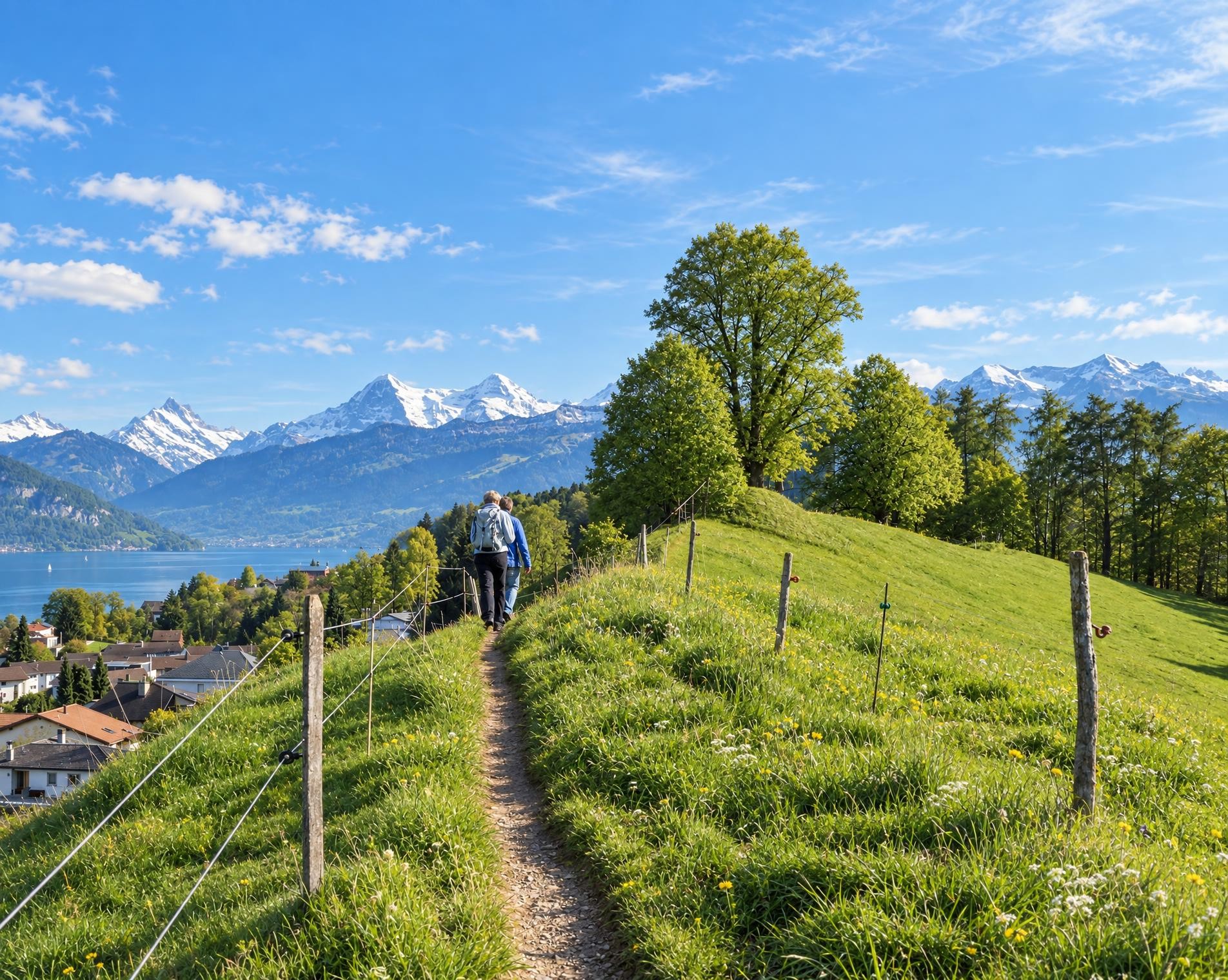
Short, easy lakeside path from Spiez to Faulensee: begins at the Thunersee, skirts Schloss Spiez and the marina, then a short slope leads to the Bürg before returning to the lakeshore.
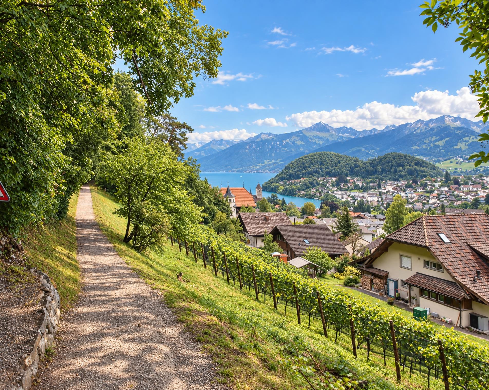
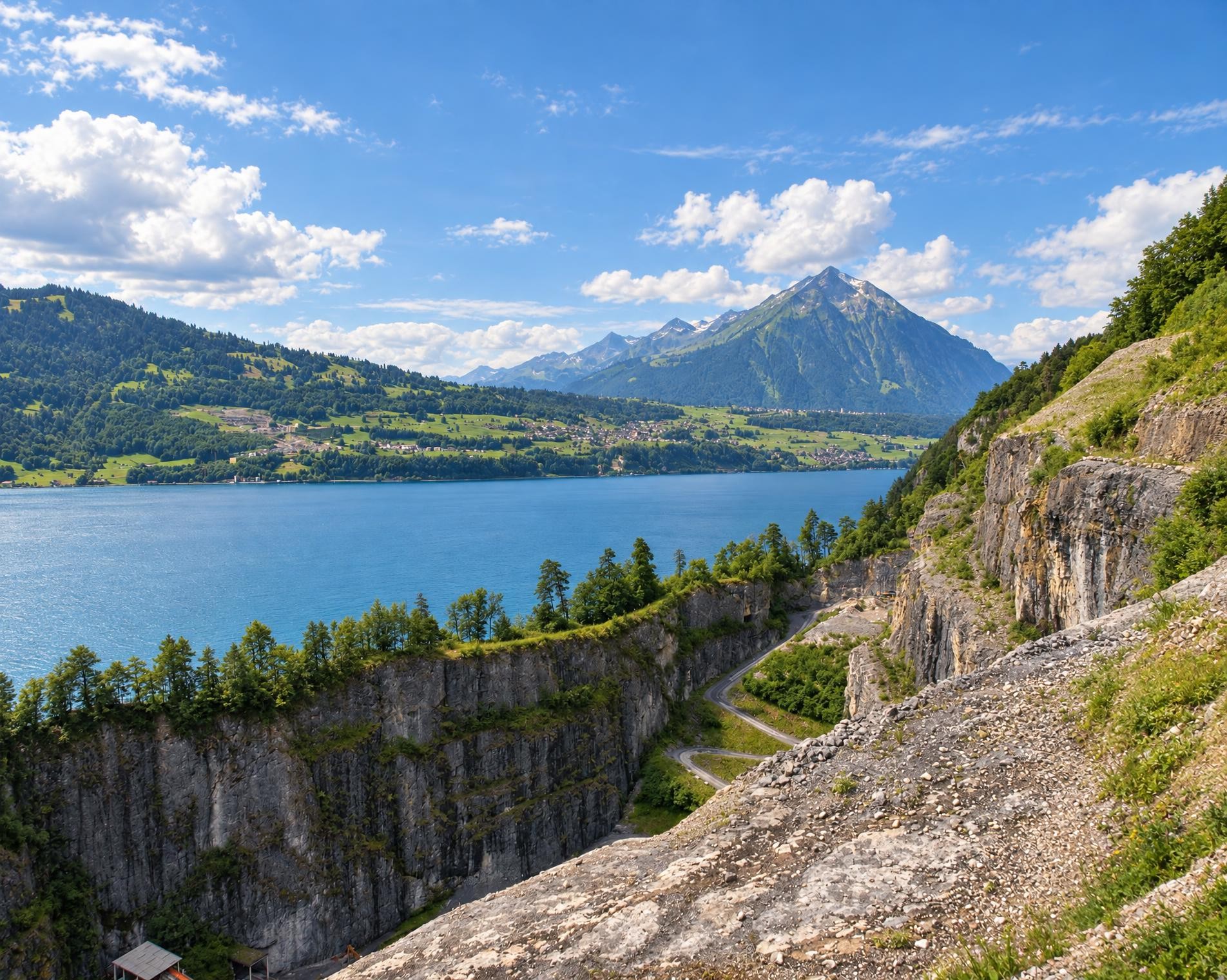
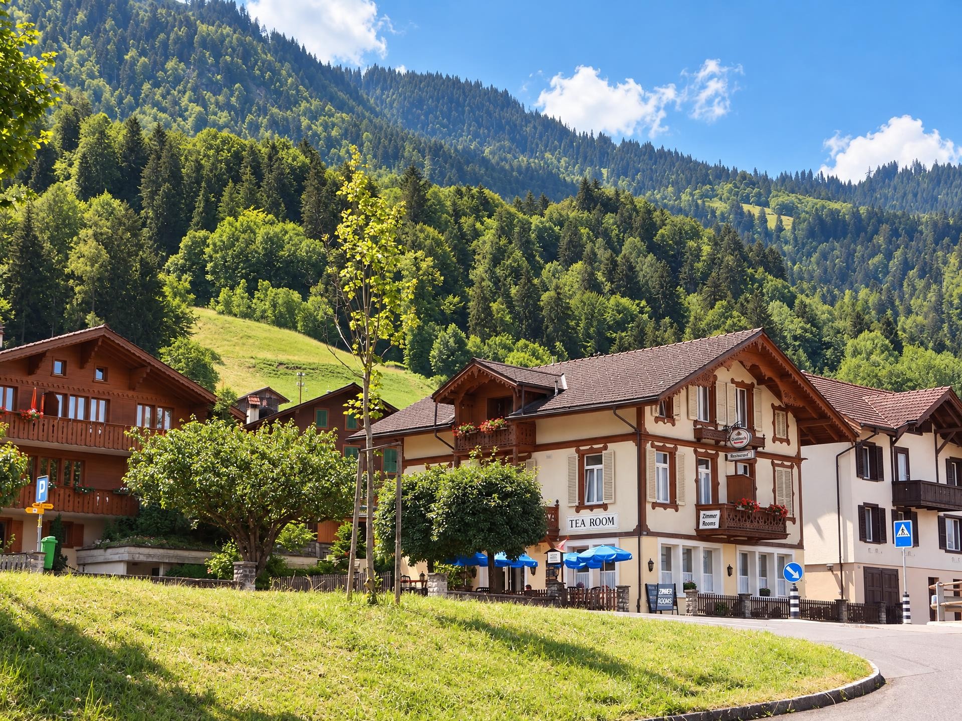
The route starts in Spiez and soon follows the shore of the Thunersee. The Thunersee is a fjord lake in the Bernese Oberland. Schloss Spiez stands prominently on the lakeshore; the route passes the marina and the lakeside promenade and then crosses the settlement. The Bruder Klaus church, built in 1974 by Justus Dahinden and protected as a monument since 1994, provides a surprising modern accent.
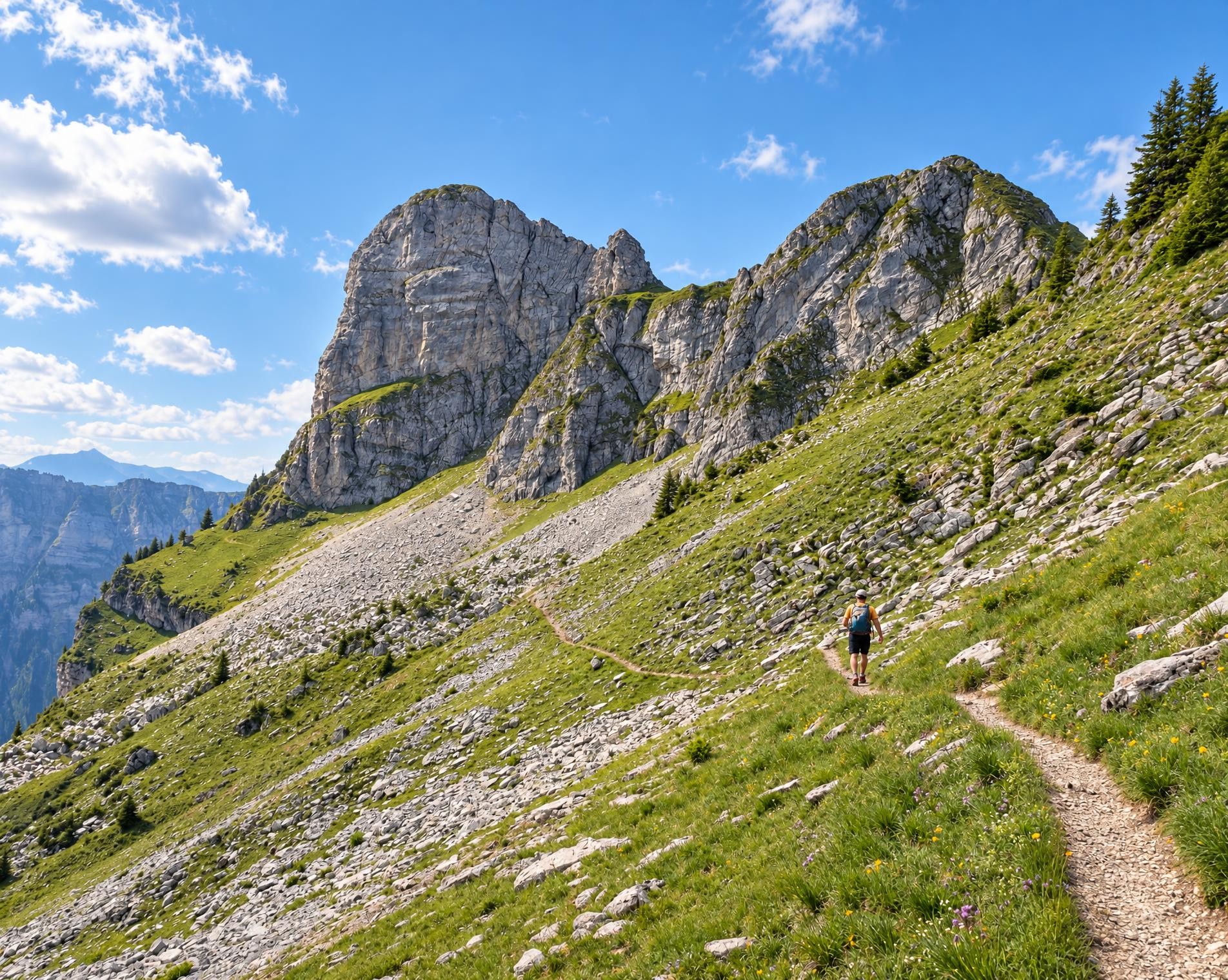
This is followed by a short, hardly noticeable ascent through a wood to the Bürg, at just over 560 m, the highest point of the loop. The path then descends back to the lake and reaches Faulensee with its small lakeside inns. The stretch is easy to walk, about 3.7 km long and takes just over 50 minutes.
02/ Along the route
What's along the way
Where the route climbs and where it descends. Hover the profile to find the spot on the map.
03/ Conditions
Current conditions
What to know before you set off. Closures and snow are re-checked every day.
How we check: Every night we match the route against the official closures and detours from the Federal Roads Office (FEDRO). Any reported closure that touches the route shows up here.
How we check: Snow depth estimated daily at the lowest and the highest point of the route. Estimates: check the situation on site.
04/ Getting there
Getting there
From your door to the trailhead and home again, by train and bus or by car. Computed live from the timetable.
Or from
Outbound
Return
05/ Weather
Weather on the way
Forecast for the lowest and the highest point of the route.
Weather
06/ Trail & landscape
Trail & landscape
Which paths you walk on and the landscape they lead through.
Larches count as conifer forest here.
07/ Export
Take the route with you
Load the track onto your GPS device, print a route sheet for the trail or send the route to your hiking group.
Share
Send the link to friends or your hiking group.
Export GPX File
For hiking apps, GPS watches and navigation devices.
Print Route Sheet
A4 with map, elevation profile, waypoints and emergency numbers.