Hike /Schweiz Mobil
Tour des Alpes Vaudoises
Aigle
- Distance
- 130.0 km
- Duration
- –
- Ascent
- 7400 m
- Descent
- 7400 m
- Difficulty
- Moderate
- Fitness
- Hard
- Route type
- Loop
- Season
- May - October
01/ Overview
The route
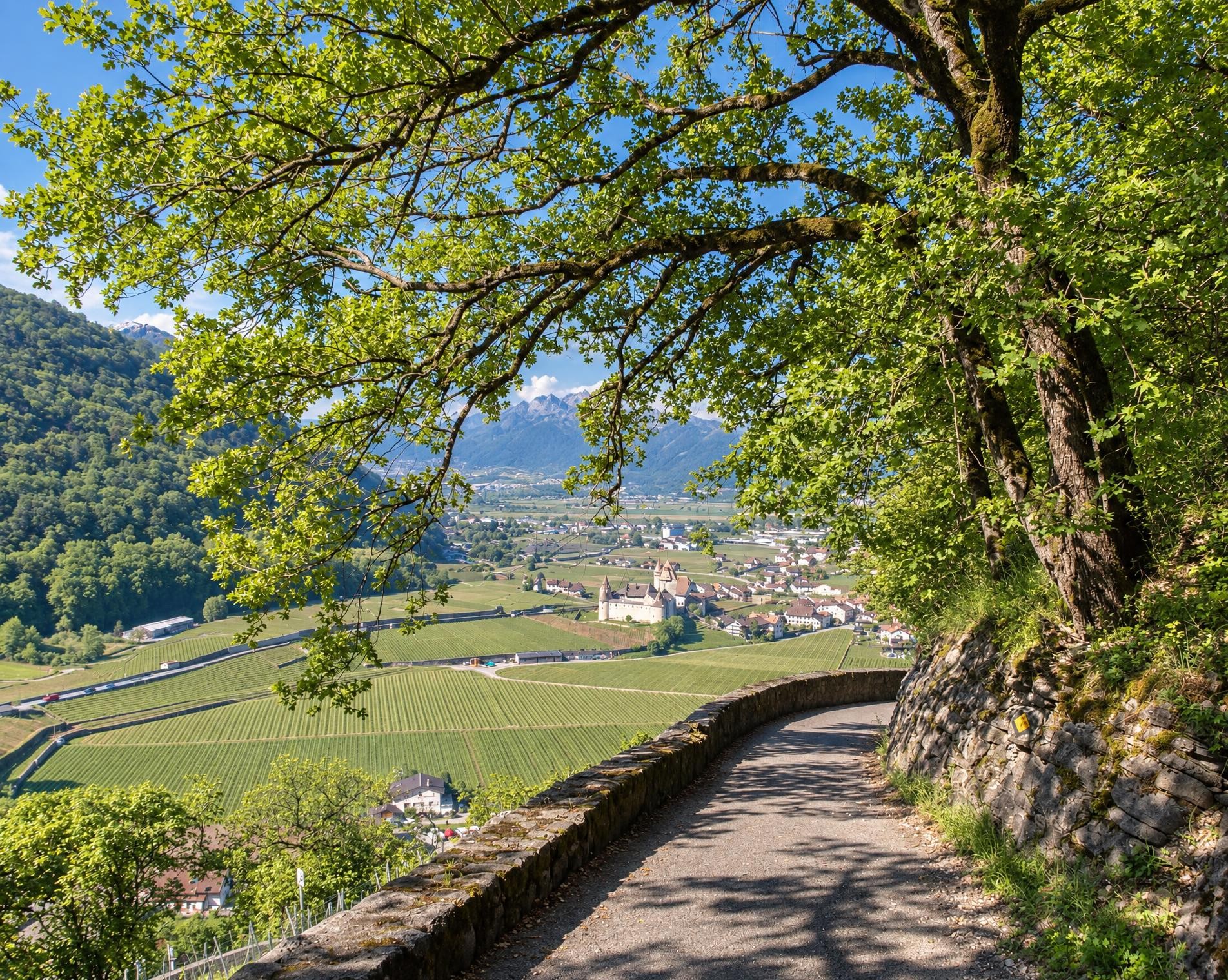
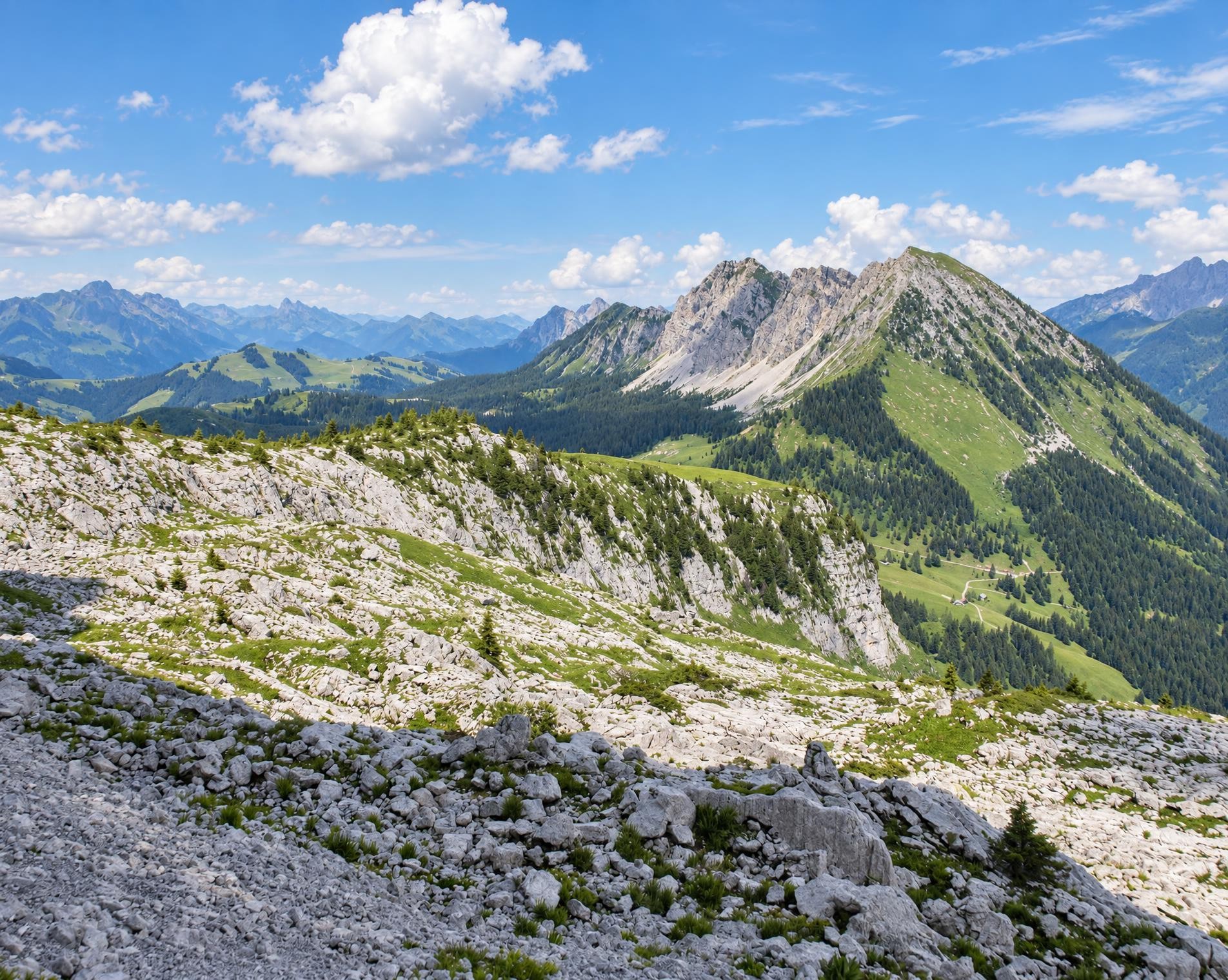
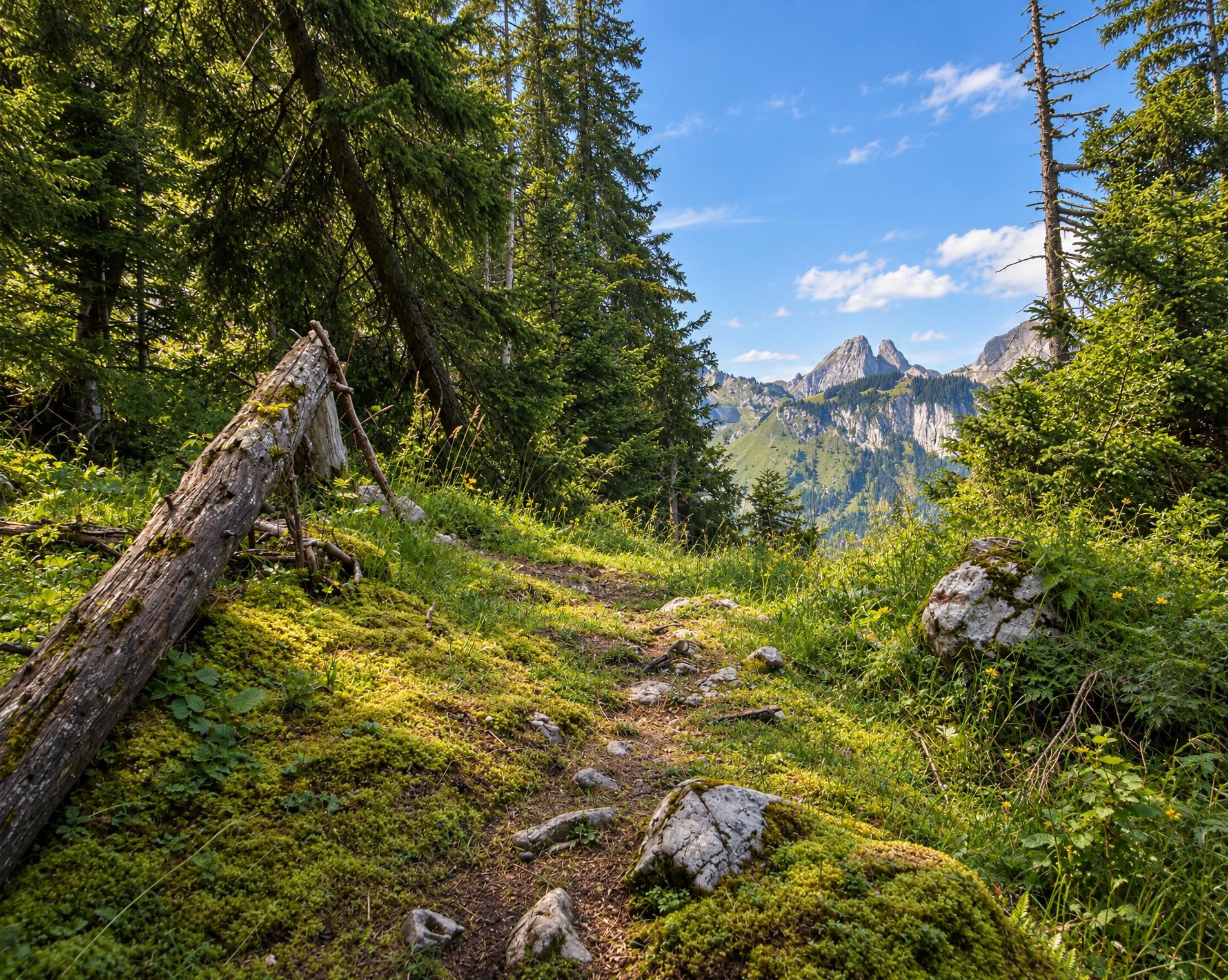
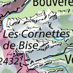
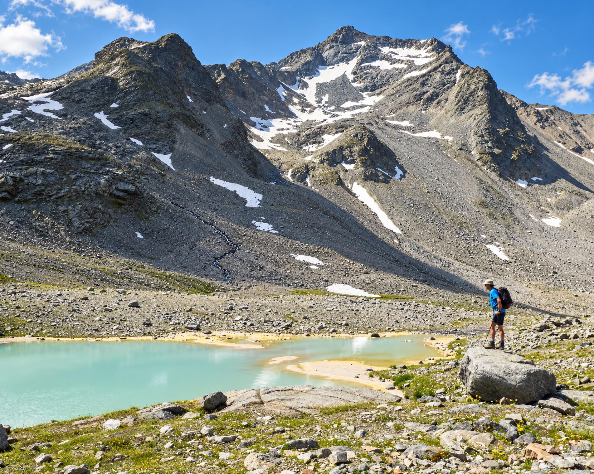
From vineyards through Alpine pastures to ancient mountain villages, alp dairies with tasty raw-milk cheese, lonely mountain lakes, sweeping views and deep gorges. The 8-day round tour combines the most beautiful highlights of the Canton Vaud Alps.
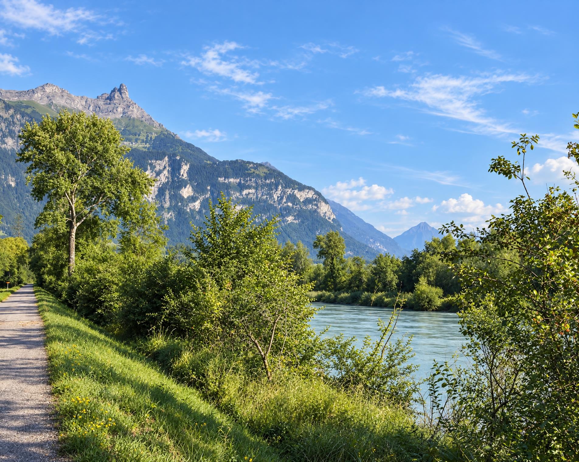
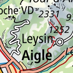
From Aigle railway station, the multi-day circuit climbs from the valley floor to Leysin, then crosses open pastures to the Col des Mosses at around 1,450 m. The Grande Eau accompanies the route for long stretches of the first half, with woodland alternating with open slopes. Beyond Château-d'Oex, a mountain path climbs to the highest point near Plan de la Douve at just over 2,000 m. The route then continues via L'Etivaz to the Arnensee, reaching the lakeshore.
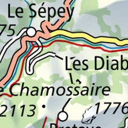
The route crosses the Col de Voré and Col du Pillon to Les Diablerets. The second part links Lac des Chavonnes with Bretaye, Villars-sur-Ollon, Taveyanne and Solalex, mostly on yellow-marked hiking trails, interspersed with steeper mountain paths. From Gryon, the route descends through woodland and settlements to Ollon, completing the circuit at Aigle railway station. A good 47 hours of walking time should be allowed for the approximately 130 kilometres and 7,400 metres of ascent.
02/ Along the route
What's along the way
Where the route climbs and where it descends. Hover the profile to find the spot on the map.
03/ Conditions
Current conditions
What to know before you set off. Closures and snow are re-checked every day.
Saane-Ufer Turrian-Brücke - Gérignoz
From 27 Nov 2023 – Until 31 Oct 2026
Rive de la Sarine - Cascade
From 21 May 2024 – Until 2 Oct 2026
Umleitung über andere markierte Wanderrouten.
Chemin du Chepy
From 17 Mar 2026 – Until 30 Nov 2026
Der Weg ist wegen Bauarbeiten an der Bahnstrecke gesperrt. Zu Ihrer Sicherheit nutzen Sie bitte die anderen ausgeschilderten Routen.
Bois du Bourlat
From 31 Aug 2026 – Until 9 Oct 2026
Le chemin reste fermé les soirs et weekends. Le chantier n'est pas sécurisé durant ces périodes.
Les Empuis
From 1 Sept 2026 – Until 30 Oct 2026
Die Wege bleiben abends und am Wochenende gesperrt. Die Baustelle ist während dieser Zeiten nicht gesichert.
Gryonne-Barboleuse
From 8 Sept 2026 – Until 30 Sept 2026
Erhebliche Steinschlaggefahr aufgrund der Bauarbeiten oberhalb.
How we check: Every night we match the route against the official closures and detours from the Federal Roads Office (FEDRO). Any reported closure that touches the route shows up here.
How we check: We look up a live public transport connection from your starting point to the stop closest to the trailhead. If it ends further away, the nearest stop may be a cable car or bus that isn't running right now.
How we check: Snow depth estimated daily at the lowest and the highest point of the route. Estimates: check the situation on site.
04/ Getting there
Getting there
From your door to the trailhead and home again, by train and bus or by car. Computed live from the timetable.
Or from
Outbound
Return
05/ Weather
Weather on the way
Forecast for the lowest and the highest point of the route.
Weather
06/ Trail & landscape
Trail & landscape
Which paths you walk on and the landscape they lead through.
07/ Snow
Snow on the route
Snow depths, new snow and forecast. Estimates: check the situation on site before you set off.
Snow Info
Comparative snow depth is only available from November 1 to June 30.
08/ Export
Take the route with you
Load the track onto your GPS device, print a route sheet for the trail or send the route to your hiking group.
Share
Send the link to friends or your hiking group.
Export GPX File
For hiking apps, GPS watches and navigation devices.
Print Route Sheet
A4 with map, elevation profile, waypoints and emergency numbers.