Hike /Schweiz Mobil
ViaSbrinz, Stage 1/5
StansstadEngelberg
- Distance
- 26.0 km
- Duration
- 7:00 h
- Ascent
- 700 m
- Descent
- 140 m
- Difficulty
- Easy
- Fitness
- Hard
- Route type
- One way
- Season
- June - October
01/ Overview
The route
Hike from the delightful shores of the Vierwaldstättersee up to the mountain valley of Engelberg. On the way, several cultural historic sites, such as the centre of Stans, the monastery retreat of Grafenort and Engelberg monastery.
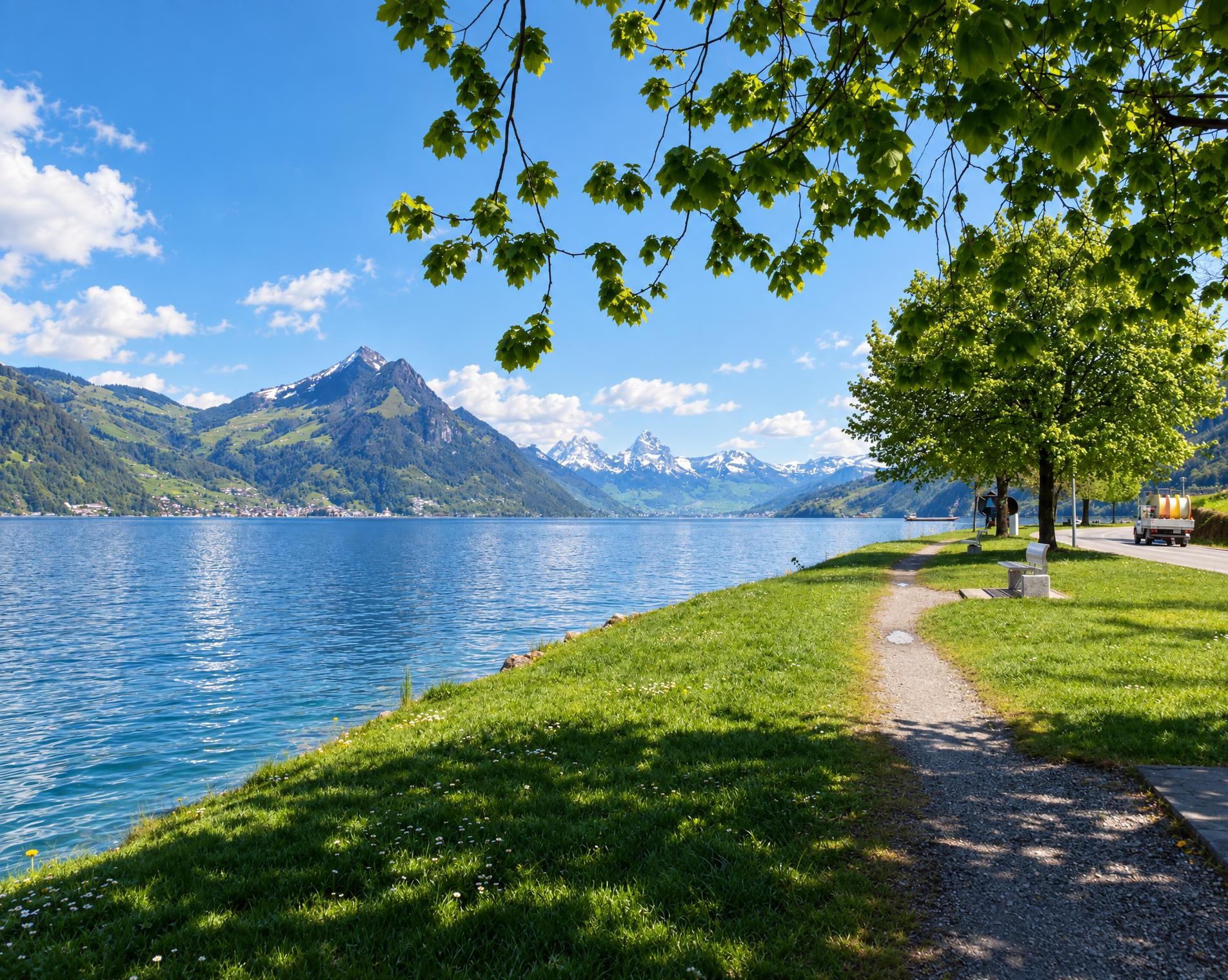
The route starts at the Stansstad (See) bus stop beside Lake Lucerne. This many-branched lake at the edge of the Alps accompanies the opening section at close quarters before the route leads through the houses of Stansstad to Stans. There it passes the Church of St. Peter and Paul, which is protected as a cultural property of national importance.
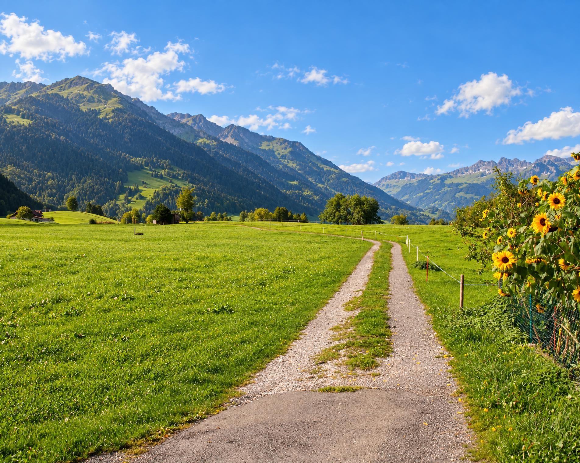
Beyond Stans, meadows, pastures and small settlements characterise the valley floor. The broad hiking trail runs via Büren to Dallenwil and on to Wolfenschiessen. Despite the considerable total distance of around 26 kilometres, the elevation profile remains gentle for a long time; between open countryside and stretches of woodland, the route gradually gains height. Grafenort is eventually reached via scattered houses.
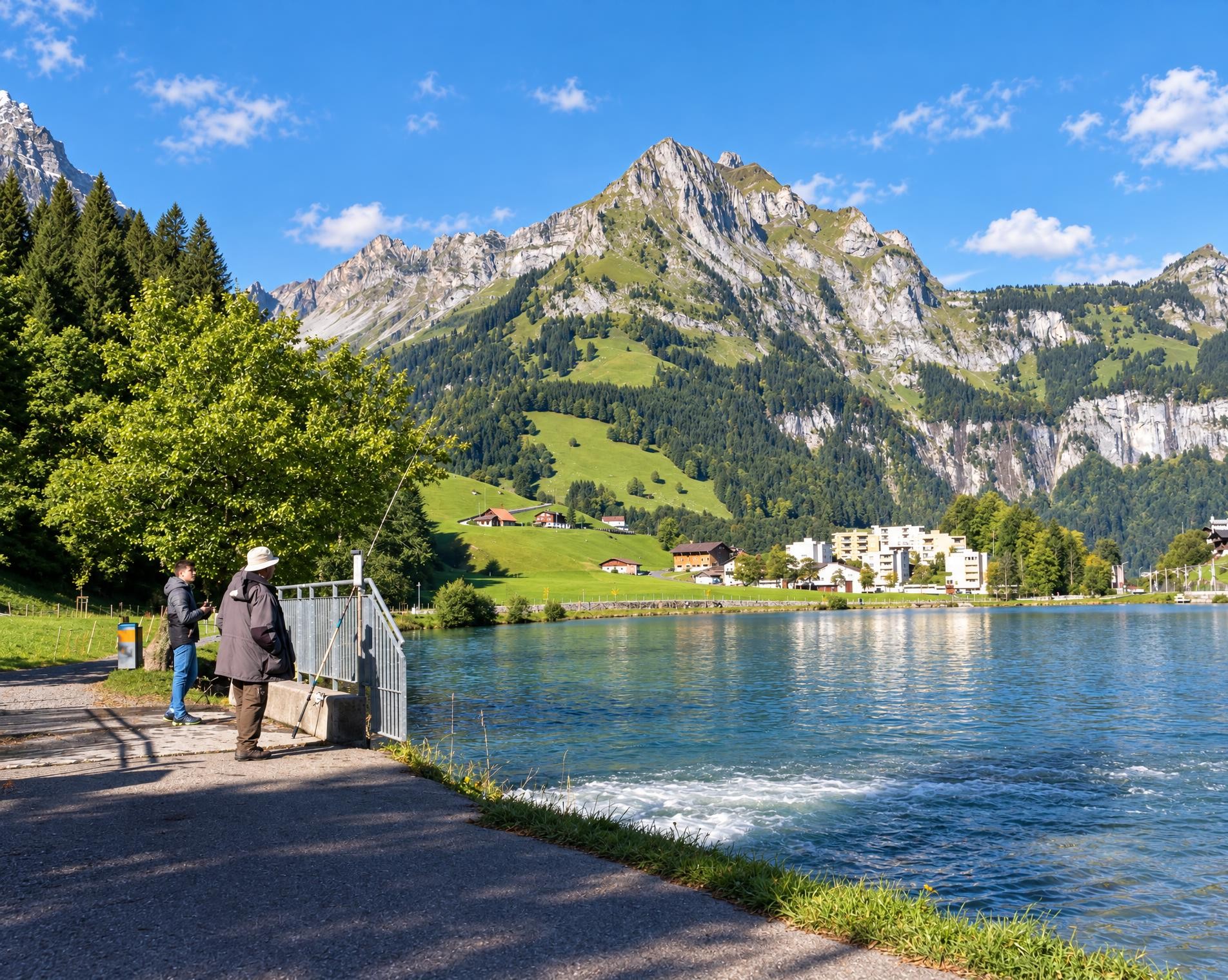
In the final third, woodland becomes more prominent and the trail now climbs more noticeably towards Engelberg. A short section follows a white-red-white waymarked mountain trail before the terrain opens out again by Eugenisee. Shortly before the destination, the highest point of the seven-hour hike lies at around 1'000 m. From there, it is only a few more steps to the houses of Engelberg and the railway station.
02/ Along the route
What's along the way
Where the route climbs and where it descends. Hover the profile to find the spot on the map.
03/ Conditions
Current conditions
What to know before you set off. Closures and snow are re-checked every day.
Staldifeld
From 1 Jun 2026 – Until 18 Dec 2026
Doppelspurausbau Zentralbahn Staldifeld
Staldifeld II
From 1 Jun 2026 – Until 18 Dec 2026
Doppelspurausbau Zentralbahn Staldifeld
Aaschlucht-Schwändliloch
From 1 Sept 2026 – Until 31 Mar 2027
Das alte Wegteilstück zwischen Aaschlucht und Schwändliloch bleibt gesperrt (zerstörte Brücke). Die Sperrung dauert voraussichtlich bis Ende März 2027. Der neue Wegabschnitt zwischen Aaschlucht und Schwändiloch ist offen und begehbar.
How we check: Every night we match the route against the official closures and detours from the Federal Roads Office (FEDRO). Any reported closure that touches the route shows up here.
How we check: We look up a live public transport connection from your starting point to the stop closest to the trailhead. If it ends further away, the nearest stop may be a cable car or bus that isn't running right now.
How we check: Snow depth estimated daily at the lowest and the highest point of the route. Estimates: check the situation on site.
04/ Getting there
Getting there
From your door to the trailhead and home again, by train and bus or by car. Computed live from the timetable.
Or from
Outbound
Return
05/ Weather
Weather on the way
Forecast for the lowest and the highest point of the route.
Weather
06/ Trail & landscape
Trail & landscape
Which paths you walk on and the landscape they lead through.
07/ Snow
Snow on the route
Snow depths, new snow and forecast. Estimates: check the situation on site before you set off.
Snow Info
Comparative snow depth is only available from November 1 to June 30.
08/ Export
Take the route with you
Load the track onto your GPS device, print a route sheet for the trail or send the route to your hiking group.
Share
Send the link to friends or your hiking group.
Export GPX File
For hiking apps, GPS watches and navigation devices.
Print Route Sheet
A4 with map, elevation profile, waypoints and emergency numbers.