Hike /Schweiz Mobil
ViaStockalper
BrigGondo
- Distance
- 30.0 km
- Duration
- 10:00 h
- Ascent
- 1800 m
- Descent
- 1600 m
- Difficulty
- Easy
- Fitness
- Moderate
- Route type
- One way
- Season
- June - October
01/ Overview
The route
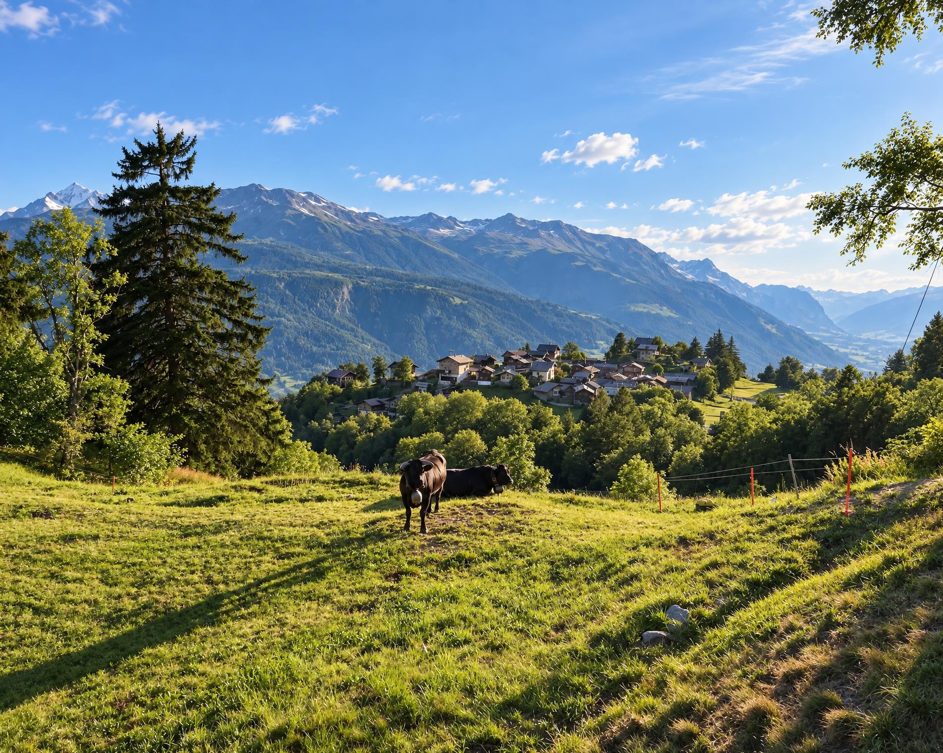
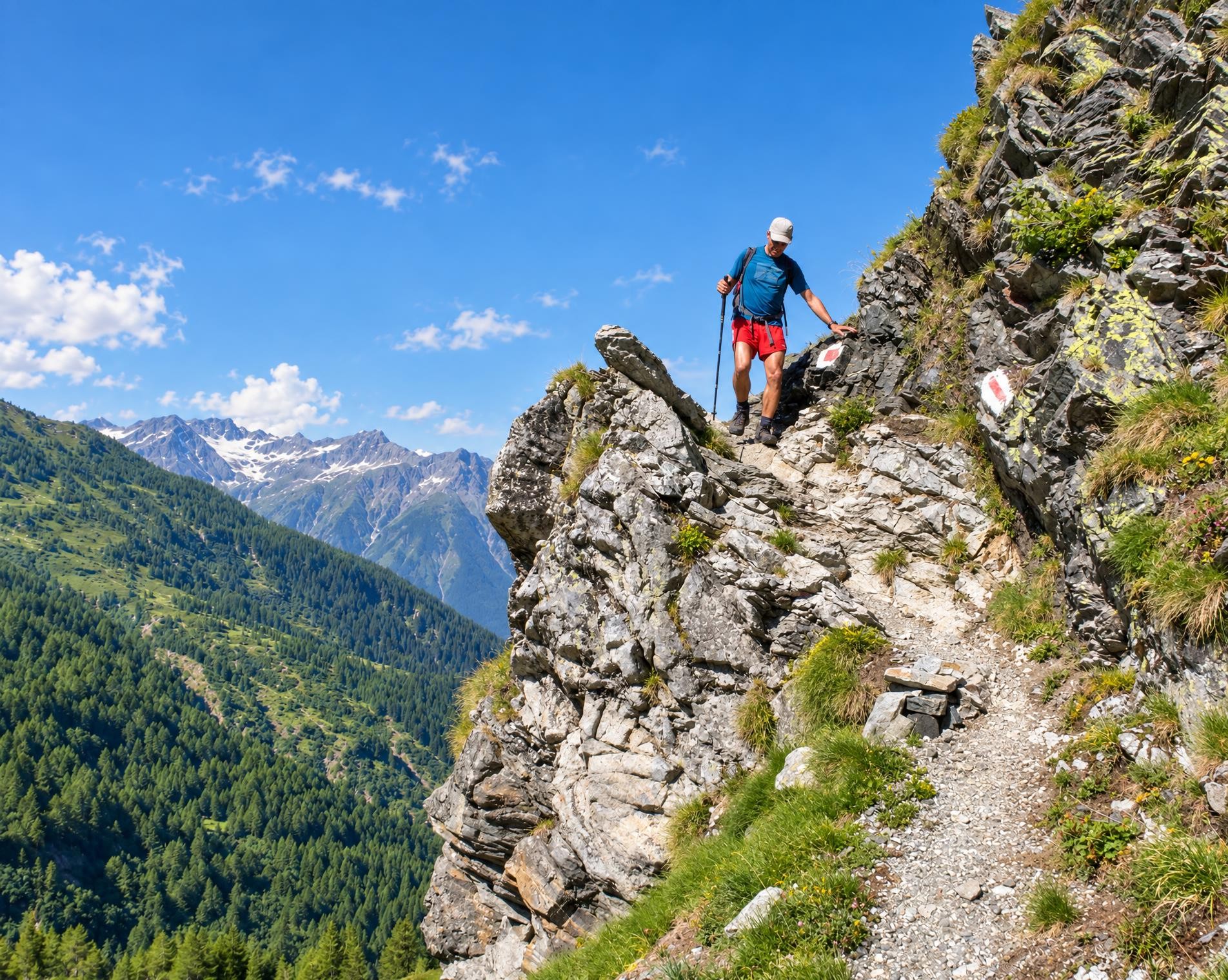
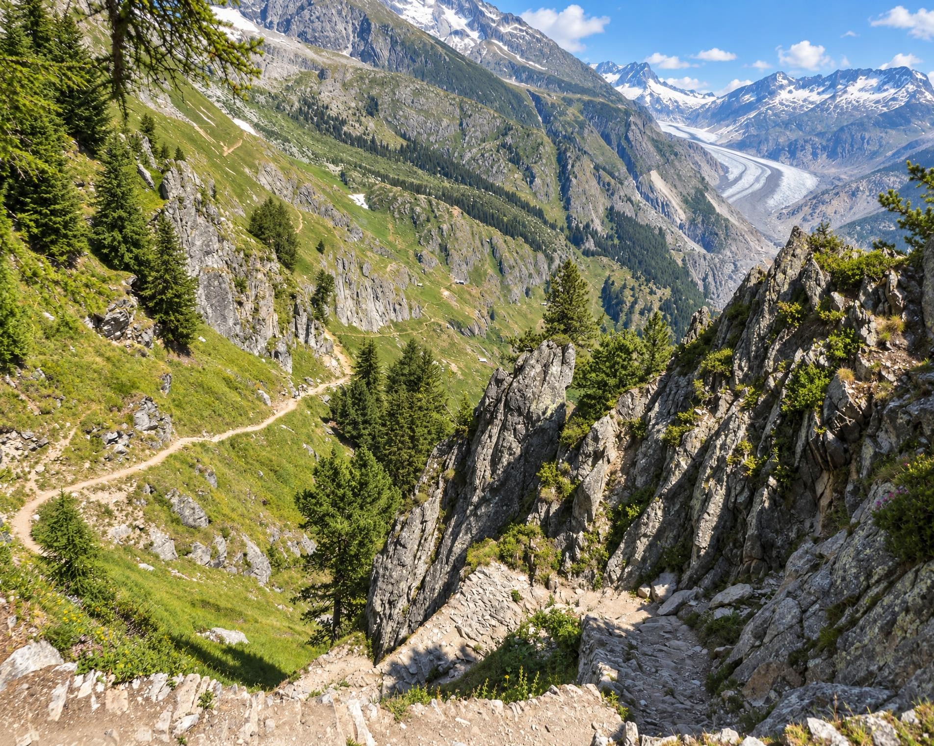
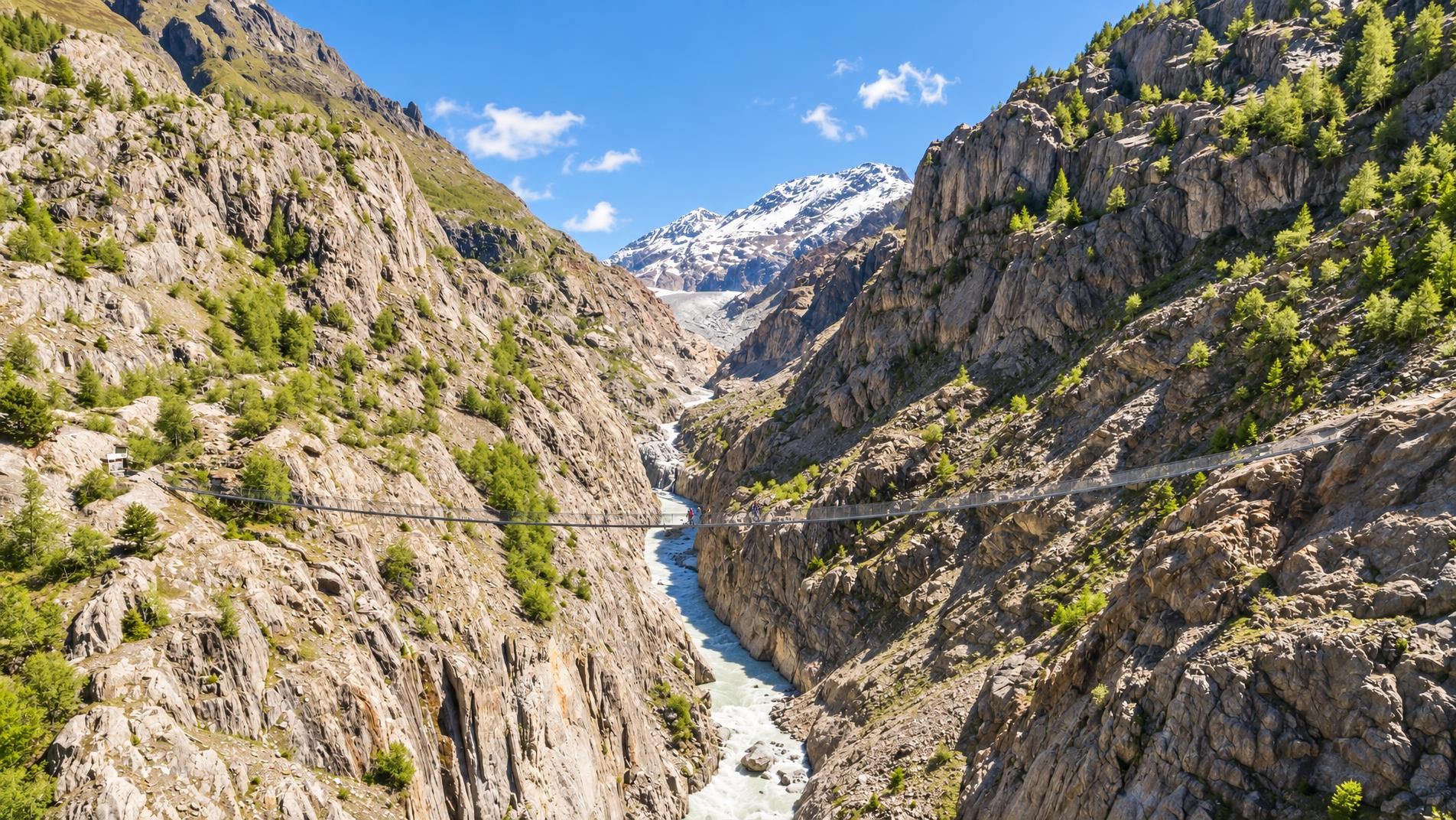
In three one-day stages, the ViaStockalper leads through sun-drenched valleys, pretty forests and rocky gorges in the Upper Valais. While the first stage climbs steeply from Brig to the Simplon pass, the two following stages descend steadily first to Simplon Dorf and then to Gondo.
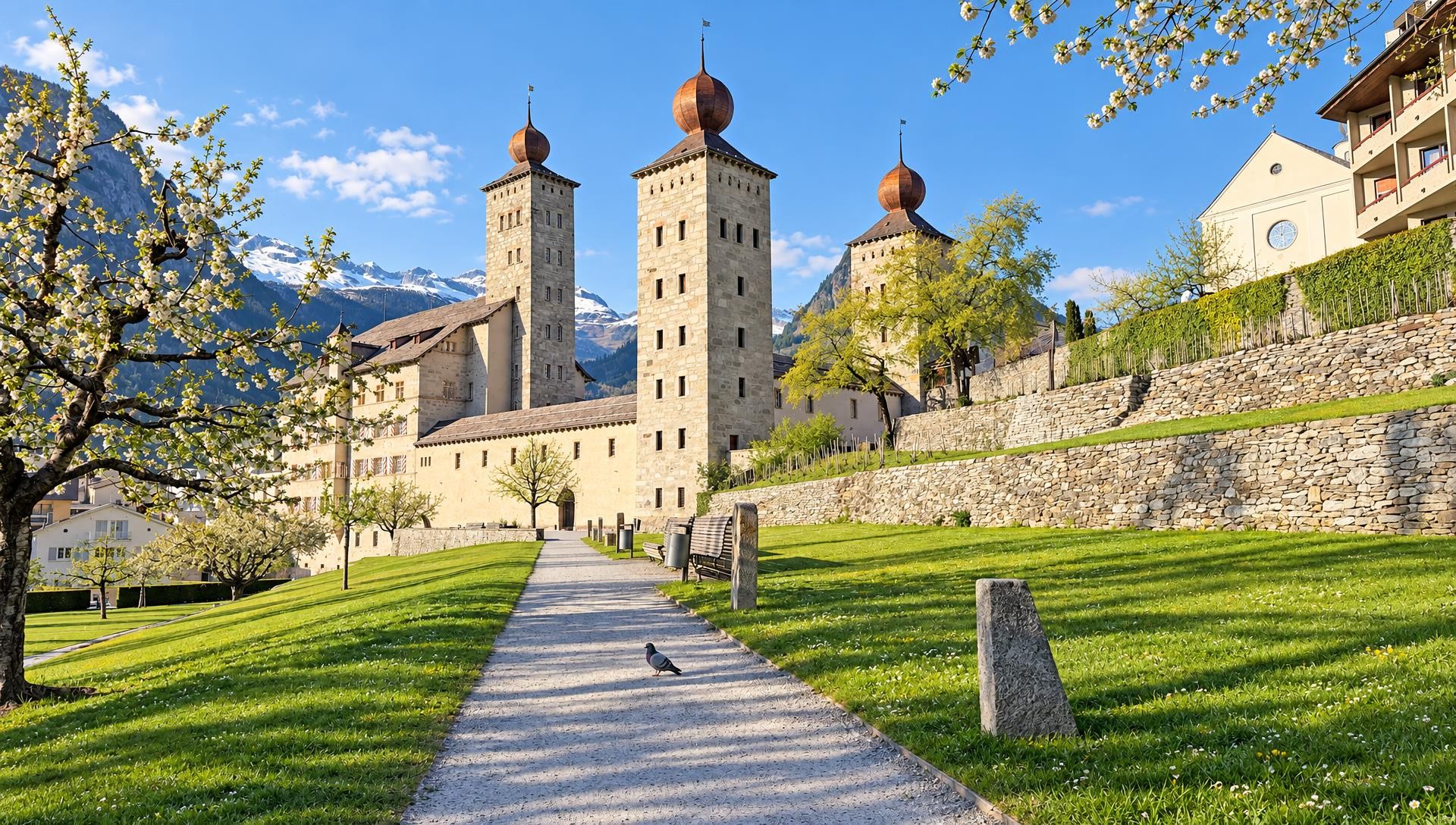
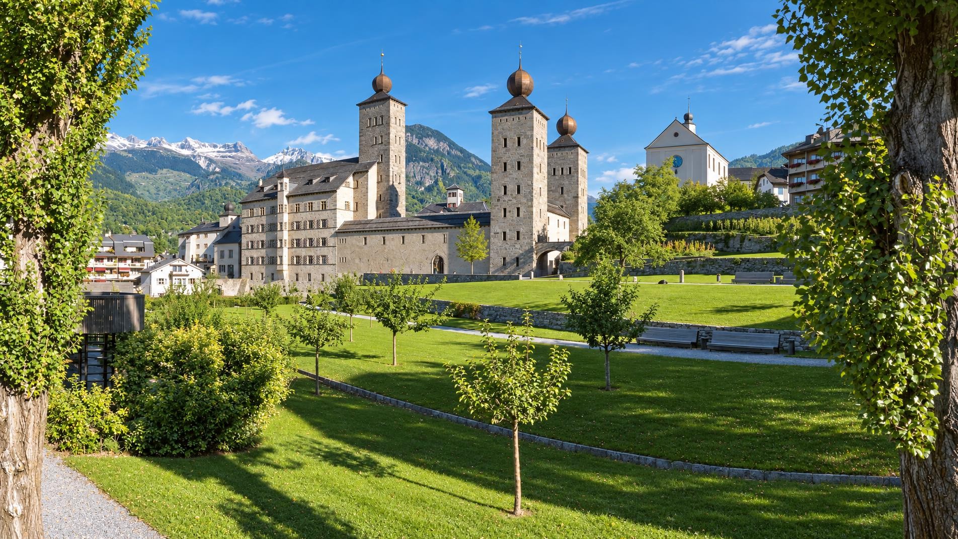
From Brig railway station, the long day hike initially leads through the town and directly past Stockalper Palace. Built between 1651 and 1671, the palace is a reminder of its creator, Kaspar Stockalper. Beyond the last houses, the trail climbs via Brei and Schallberg; meadows and pastures now dominate the landscape, with steeper mountain paths leading through the forest in places.
After around four hours, the route reaches its highest point at just over 2,000 m near the Simplonpass. The pass connects the Rhone Valley with Val Divedro and separates the Valais Alps from the Leone group. In the open pass landscape, Restaurant Monte Leone lies close to the trail. The long descent then begins, passing Engiloch and Egga on the way to Simplon Dorf, where the route leads past the Church of St Gotthard.
Below the village, Alpine pastures and sections of forest alternate. The route continues via Gabi to the ruins of the Stockalper Tower and then farther down the valley. After around 30 kilometres and just over ten hours, the trail ends in Gondo, near the Gondo, Kirche bus stop.
02/ Along the route
What's along the way
Where the route climbs and where it descends. Hover the profile to find the spot on the map.
03/ Conditions
Current conditions
What to know before you set off. Closures and snow are re-checked every day.
Ried-Brig: Grund - Mittubäch - Taferna
From 29 May 2025 – Until 30 Apr 2027
Aufgrund akuter Steinschlaggefahr ist auf unbestimmte Zeit ein Teil des Stockalperwegs zwischen Grund und Mittubäch nicht begehbar. Alle Wanderer werden aufgefordert, der Umleitung zu folgen und nicht in den «Grund» abzusteigen. Bei der vorgeschlagenen Umleitung ist mit einer erheblich längeren Distanz zu rechnen. Es kann aber auch der öffentliche Verkehr genutzt werden.
Ried-Brig: Grund - Mittubäch - Guggili
From 30 Jan 2026 – Until 26 Dec 2026
Aufgrund eines Hangrutsches im Bereich «Bachtschugge» ist derzeit ein Teil des Stockalperwegs zwischen Schallberg und Mittubäch nicht begehbar. Weiteres Gestein, welches sich jederzeit lösen kann, macht eine Begehung zu gefährlich.
How we check: Every night we match the route against the official closures and detours from the Federal Roads Office (FEDRO). Any reported closure that touches the route shows up here.
How we check: We look up a live public transport connection from your starting point to the stop closest to the trailhead. If it ends further away, the nearest stop may be a cable car or bus that isn't running right now.
How we check: Snow depth estimated daily at the lowest and the highest point of the route. Estimates: check the situation on site.
04/ Getting there
Getting there
From your door to the trailhead and home again, by train and bus or by car. Computed live from the timetable.
Or from
Outbound
Return
05/ Weather
Weather on the way
Forecast for the lowest and the highest point of the route.
Weather
06/ Trail & landscape
Trail & landscape
Which paths you walk on and the landscape they lead through.
07/ Snow
Snow on the route
Snow depths, new snow and forecast. Estimates: check the situation on site before you set off.
Snow Info
Comparative snow depth is only available from November 1 to June 30.
08/ Export
Take the route with you
Load the track onto your GPS device, print a route sheet for the trail or send the route to your hiking group.
Share
Send the link to friends or your hiking group.
Export GPX File
For hiking apps, GPS watches and navigation devices.
Print Route Sheet
A4 with map, elevation profile, waypoints and emergency numbers.