Hike /Schweiz Mobil
Walserweg Gottardo
BinnObersaxen, St. Martin
- Distance
- 210.0 km
- Duration
- –
- Ascent
- 13900 m
- Descent
- 14000 m
- Difficulty
- Moderate
- Fitness
- Hard
- Route type
- One way
01/ Overview
The route
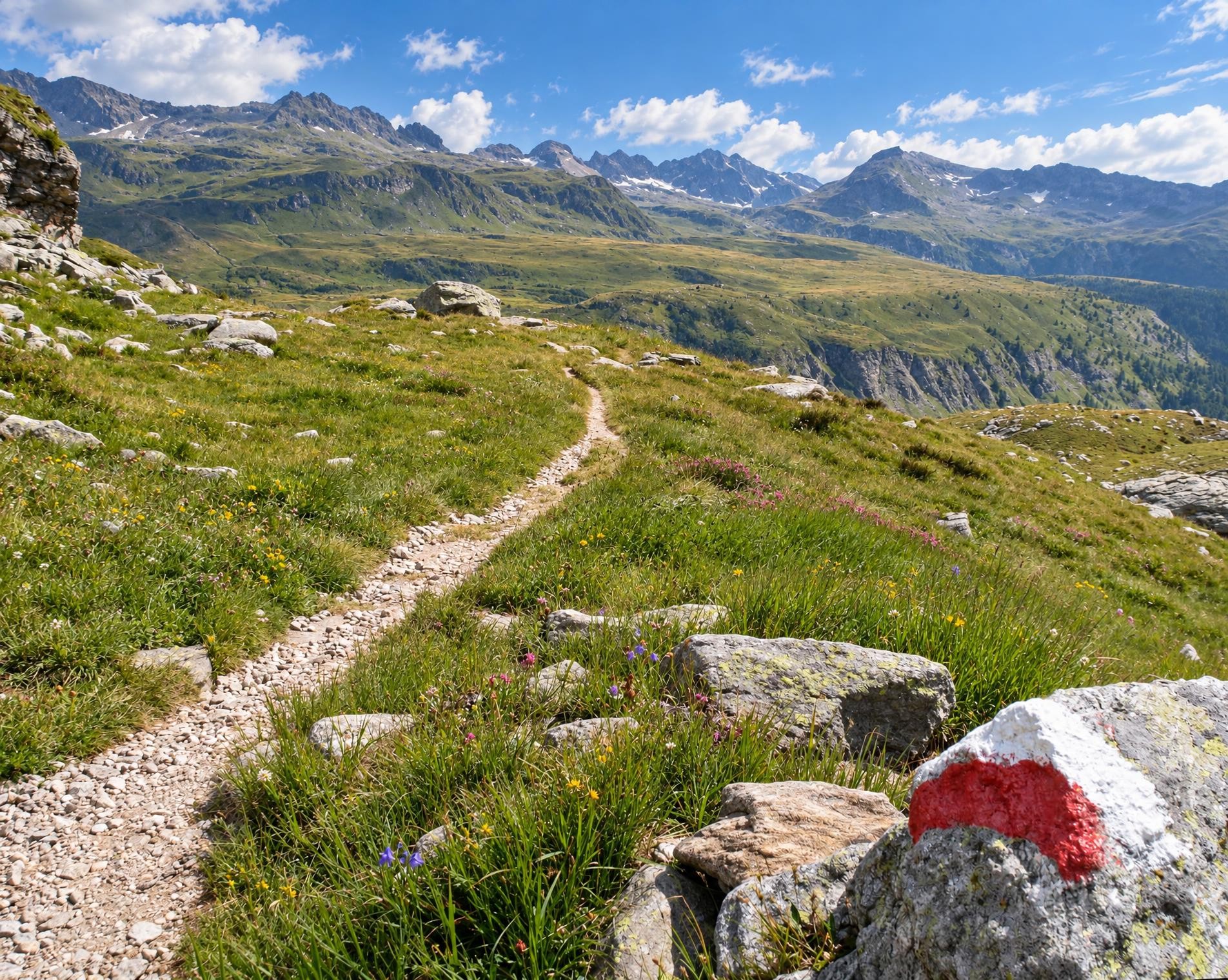
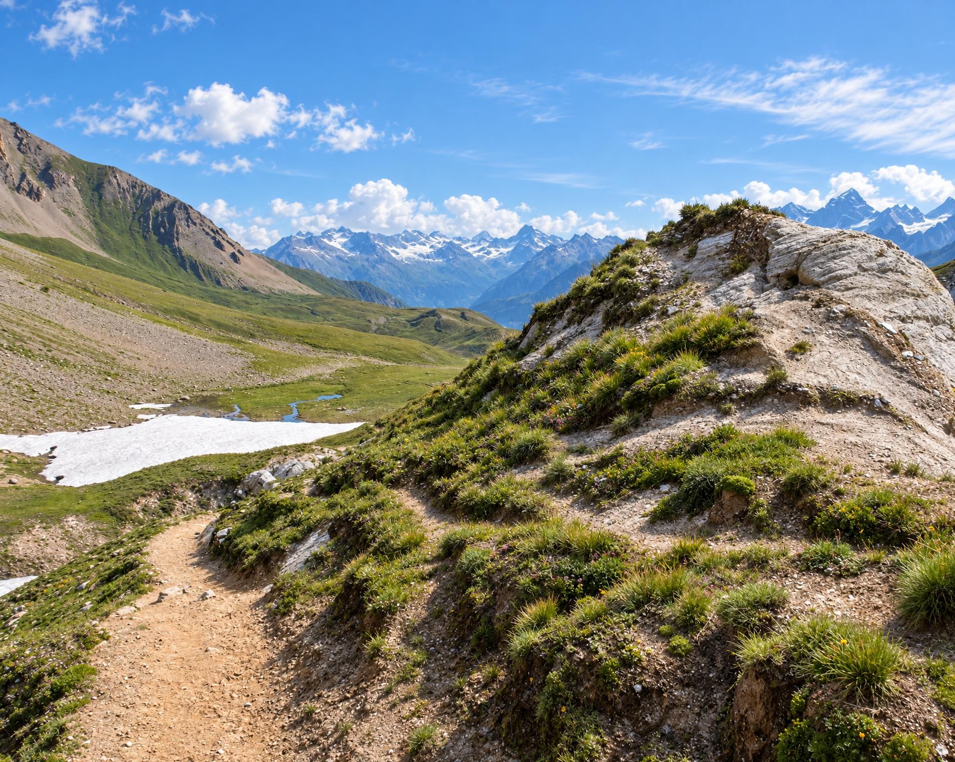
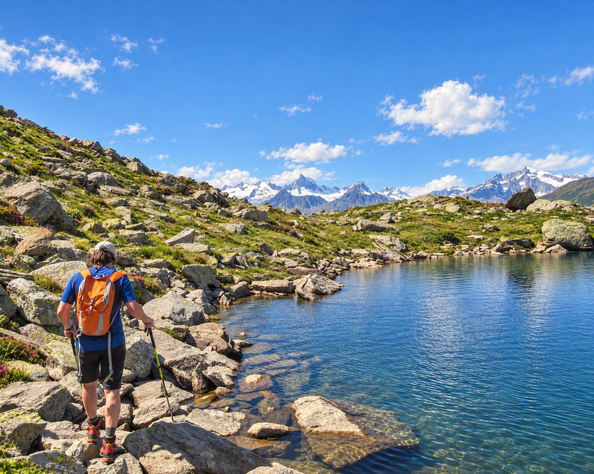
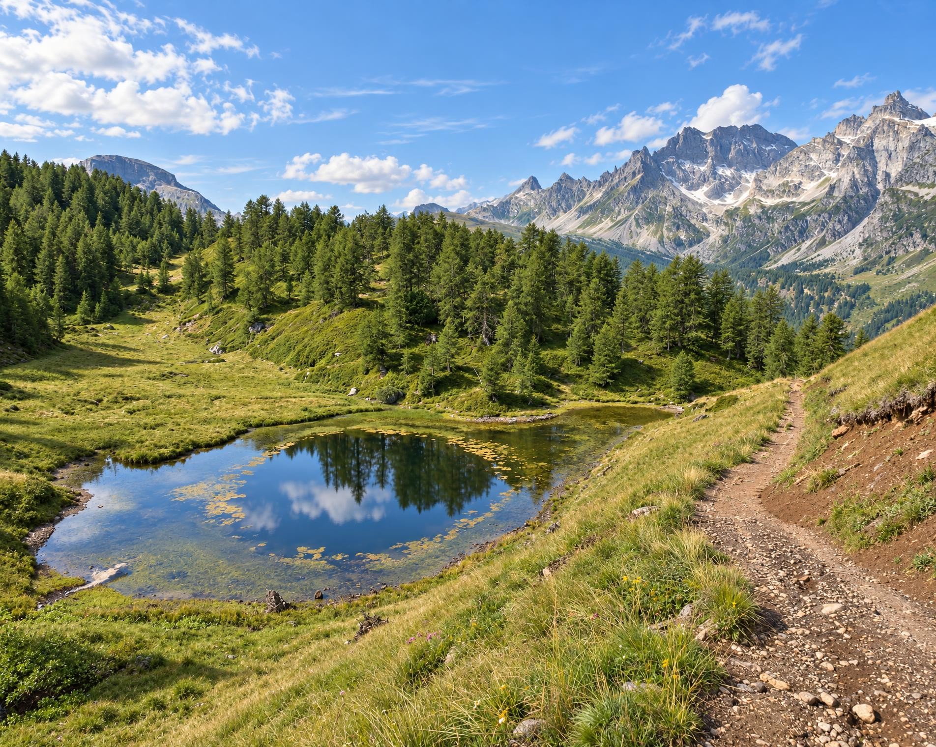
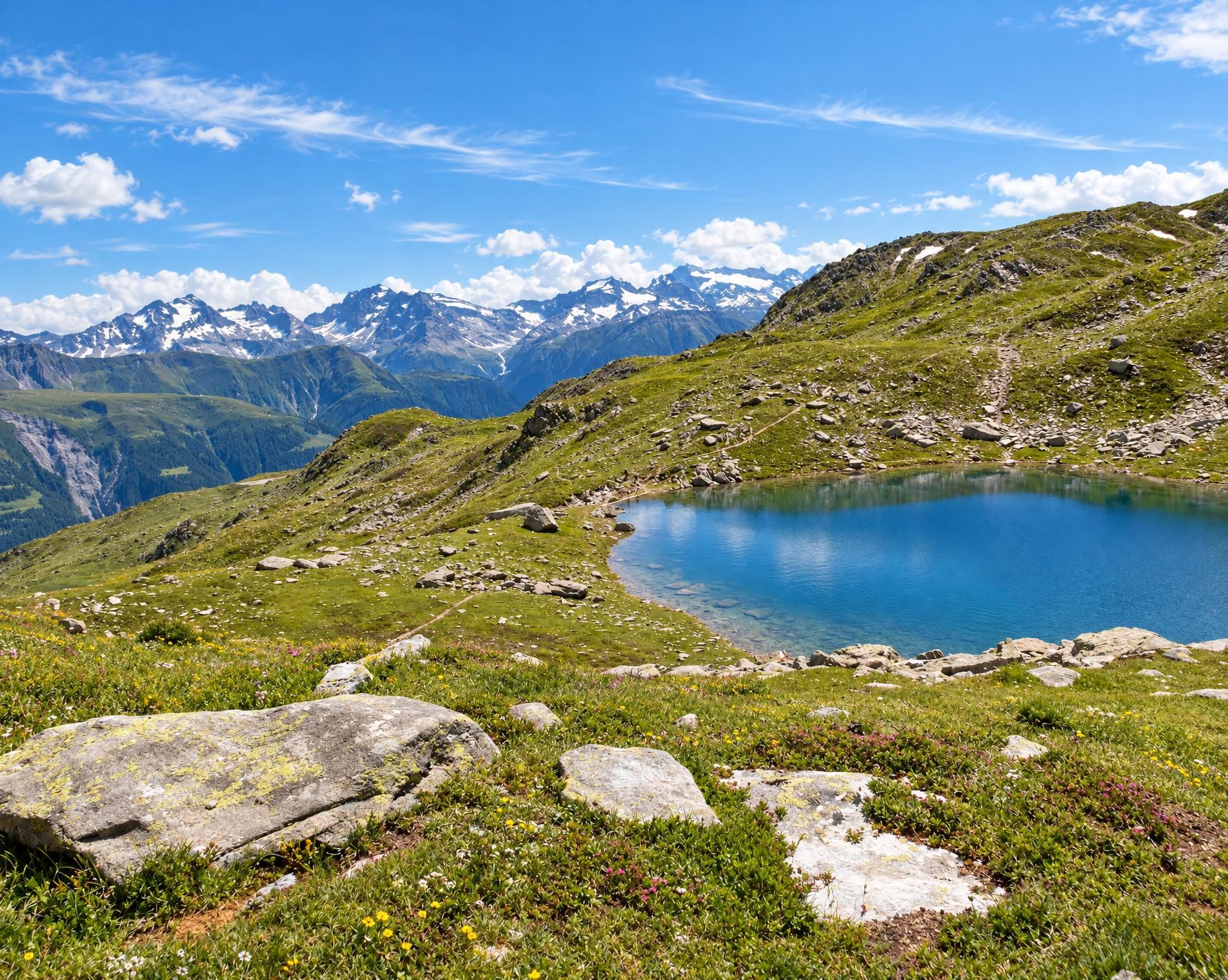
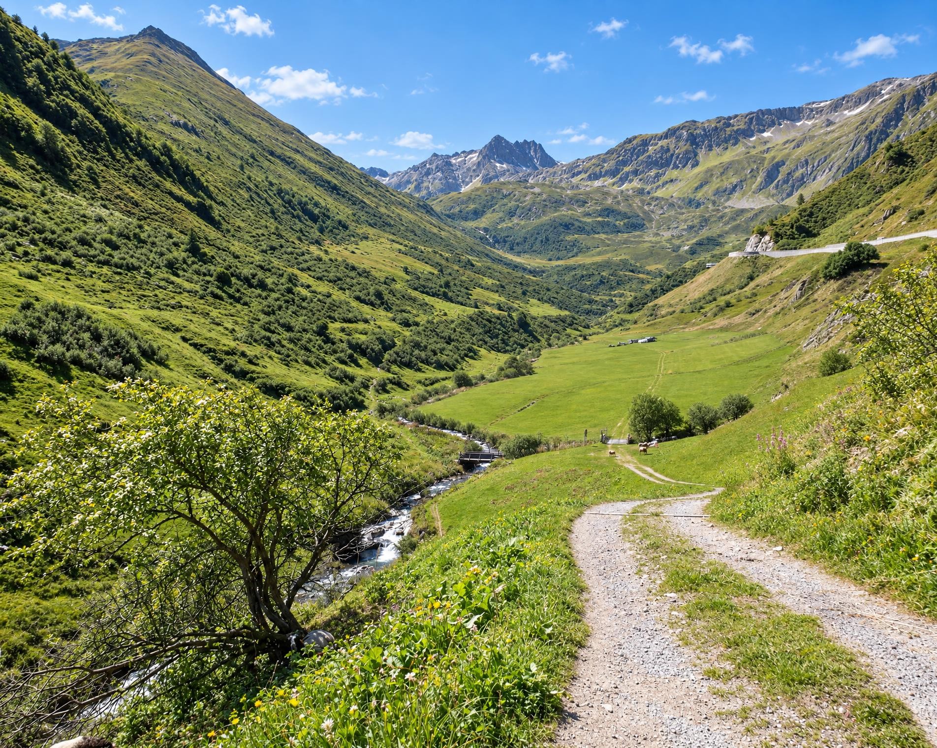
On the move in the world of the Walser people: from the Valais homeland, the trail follows in the footsteps of the settlers to areas in Surselva in Grisons. The route includes secluded pass routes from Binn to the upper Maggia Valley via Formazza in Italy. Other more well-known crossings lead to the Gotthard area and the Oberalp Pass. The long hike ends on isolated trails in Obersaxen, after you have covered more than 200 kilometres and an altitude difference of 14,000 metres.
From the Binn, Dorf bus stop, the route leads out of the Binntal to the Binntalhütte and continues over the Albrunpass. This old mule pass crosses the southern main Alpine ridge at 2,409 metres. The demanding mountain route then traverses open, increasingly rocky terrain, with long sections away from the marked hiking trail network. Near Punta d'Arbola, it reaches its highest point at around 2,580 metres before descending via Bosco/Gurin into the Maggiatal and on to Cevio.
The trail climbs again through woodland and between the villages of Val Bavona. It passes the Capanna Basodino and leads to the Capanna Cristallina at the pass of the same name. The route continues via Bedretto to the Gotthardpass, once an important north–south link across the Alps. The descent reaches Hospental and Andermatt.
North of the Oberalptal, the route leads to the Fellilücke with views of the Lutersee, then continues to the Oberalppass overlooking the Oberalpsee. There it enters the Surselva and briefly follows the Rain Anteriur near Tschamut. The trail continues via Curaglia to Lag da Laus. From there, the mountain trail leads through alpine pastures and woodland to Obersaxen, St. Martin.
02/ Along the route
What's along the way
Where the route climbs and where it descends. Hover the profile to find the spot on the map.
03/ Conditions
Current conditions
What to know before you set off. Closures and snow are re-checked every day.
Binn: Mässerbach (Alpenpässe-Weg)
From 30 Jun 2025 – Until 28 Apr 2027
Brücke zerstört.
Oberalppass - Tomasee (Lai da Tuma)
From 7 Jul 2026 – Until 31 Dec 2026
Infolge Felssturz ist der Bergwanderweg Oberalppass - Tomasee (Lai da Tuma) gesperrt. Für die Wanderung vom Oberalppass zur Rheinquelle retour sind aufgrund der Umleitung zusätzlich etwa 30 Minuten Wanderzeit einzuplanen.
Fontana - Mondada
From 20 Jul 2026 – Until 17 Jul 2027
Aufgrund von Naturschäden wird der Weg auf die Strasse umgeleitet.
How we check: Every night we match the route against the official closures and detours from the Federal Roads Office (FEDRO). Any reported closure that touches the route shows up here.
How we check: We look up a live public transport connection from your starting point to the stop closest to the trailhead. If it ends further away, the nearest stop may be a cable car or bus that isn't running right now.
How we check: Snow depth estimated daily at the lowest and the highest point of the route. Estimates: check the situation on site.
04/ Getting there
Getting there
From your door to the trailhead and home again, by train and bus or by car. Computed live from the timetable.
Or from
Outbound
Return
05/ Weather
Weather on the way
Forecast for the lowest and the highest point of the route.
Weather
06/ Trail & landscape
Trail & landscape
Which paths you walk on and the landscape they lead through.
07/ Snow
Snow on the route
Snow depths, new snow and forecast. Estimates: check the situation on site before you set off.
Snow Info
Comparative snow depth is only available from November 1 to June 30.
08/ Export
Take the route with you
Load the track onto your GPS device, print a route sheet for the trail or send the route to your hiking group.
Share
Send the link to friends or your hiking group.
Export GPX File
For hiking apps, GPS watches and navigation devices.
Print Route Sheet
A4 with map, elevation profile, waypoints and emergency numbers.