Hike /Schweiz Mobil
Zürich-Zugerland-Panoramaweg, Stage 2/2
Albis PasshöheZug
- Distance
- 21.0 km
- Duration
- 5:25 h
- Ascent
- 380 m
- Descent
- 740 m
- Difficulty
- Easy
- Fitness
- Hard
- Route type
- One way
- Season
- All year
01/ Overview
The route
Panoramic views of Lake Zurich and the Prealps will be your companion through the Albis hills to the Albishorn. In Ebertswil, the Milchsuppenstein (Milk Soup Stone) commemorates the Kappeler Milchsuppe (milk soup) incident in 1529, a pivotal event in Swiss history. From Baar, you will follow the old river Lorze as far as your destination in Zug.
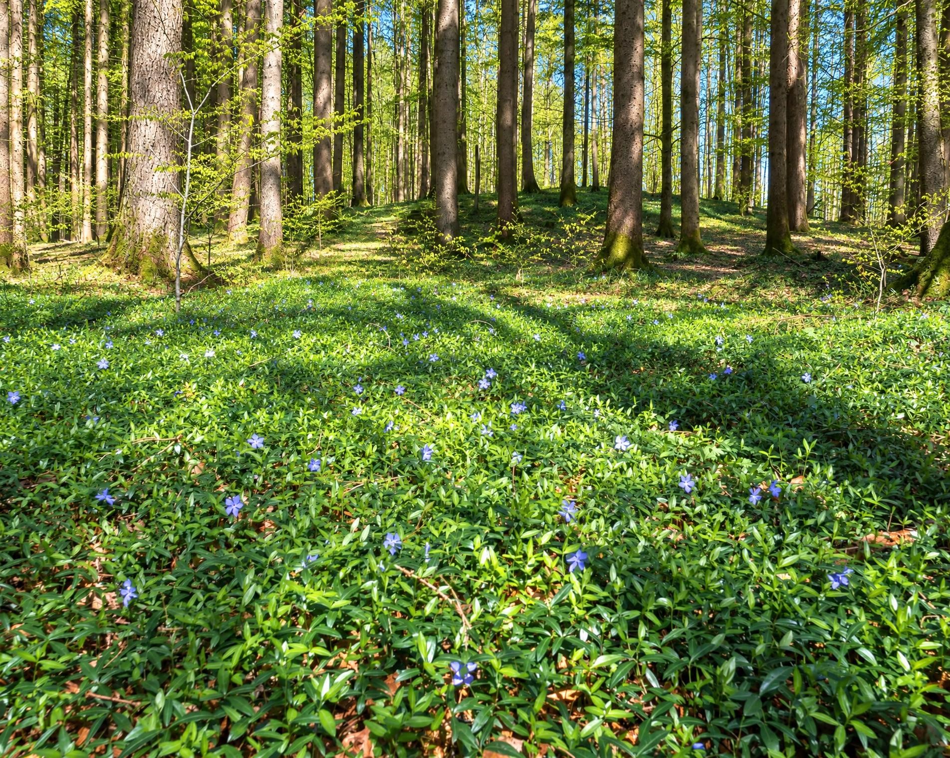
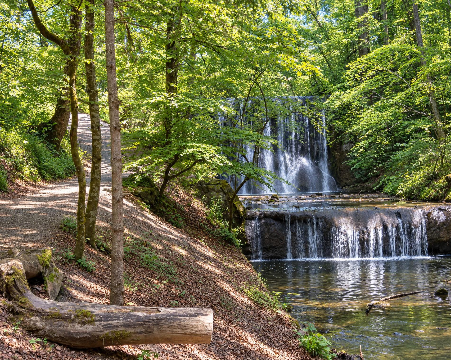
The 21-kilometre hike begins at Albispass, by the Langnau a.A., Albispasshöhe bus stop. The trail climbs through the forest to Bürglen, which at around 915 metres is both the highest point on the route and the highest summit of the Albis. Soon afterwards, the Bergrestaurant Albishorn stands directly beside the trail.
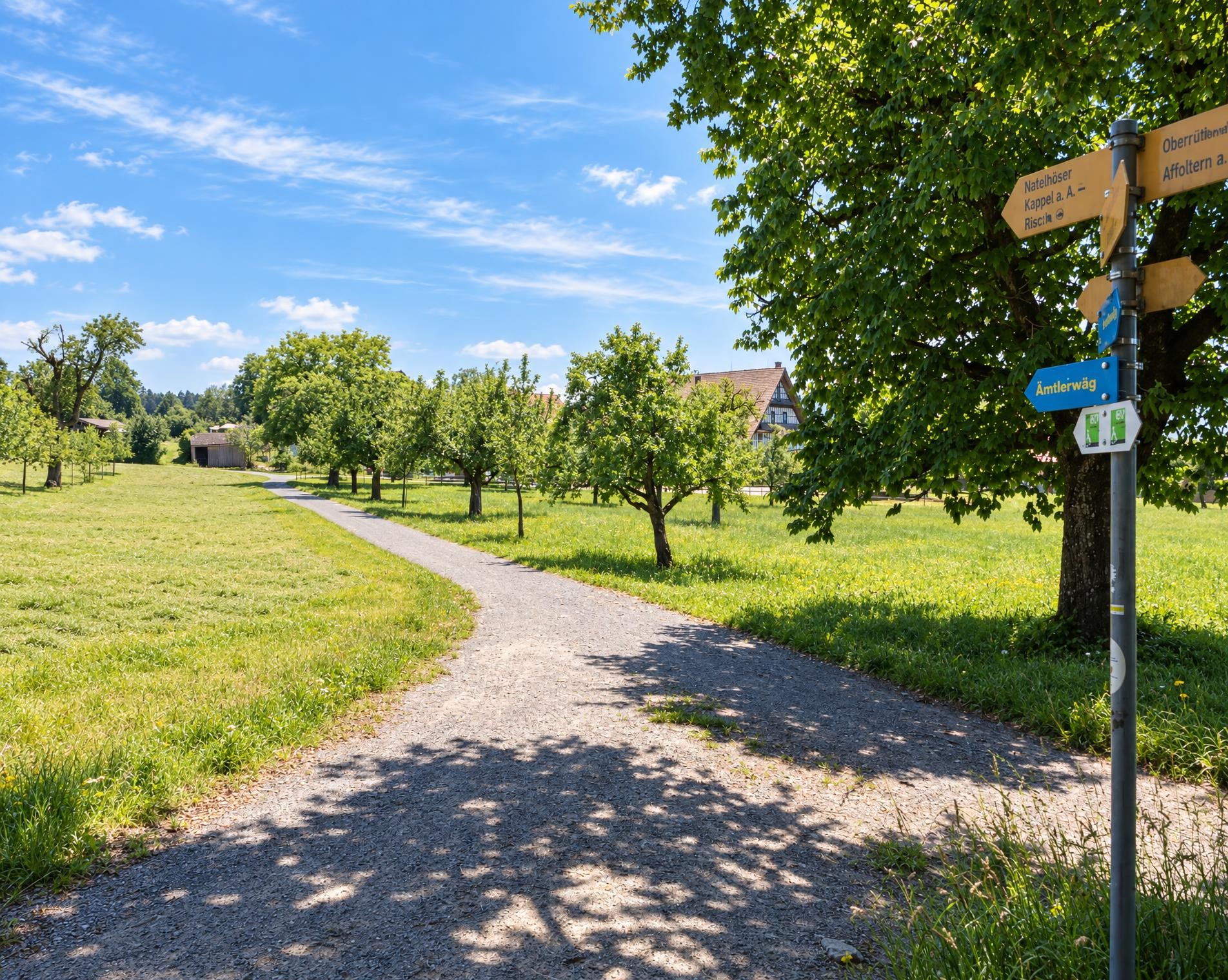
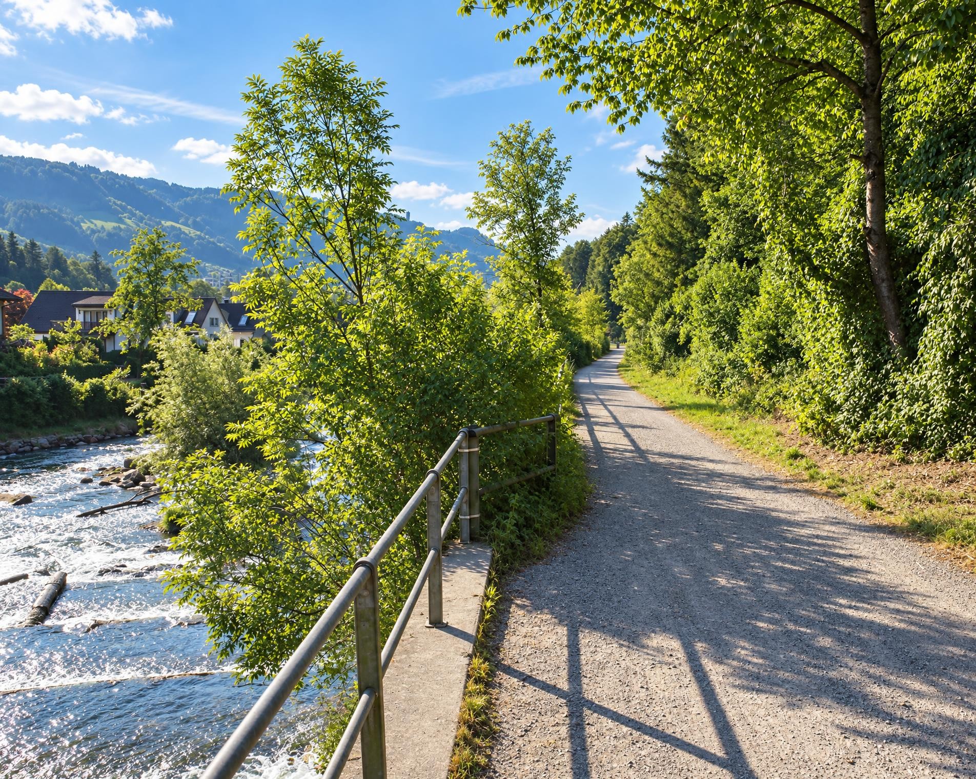
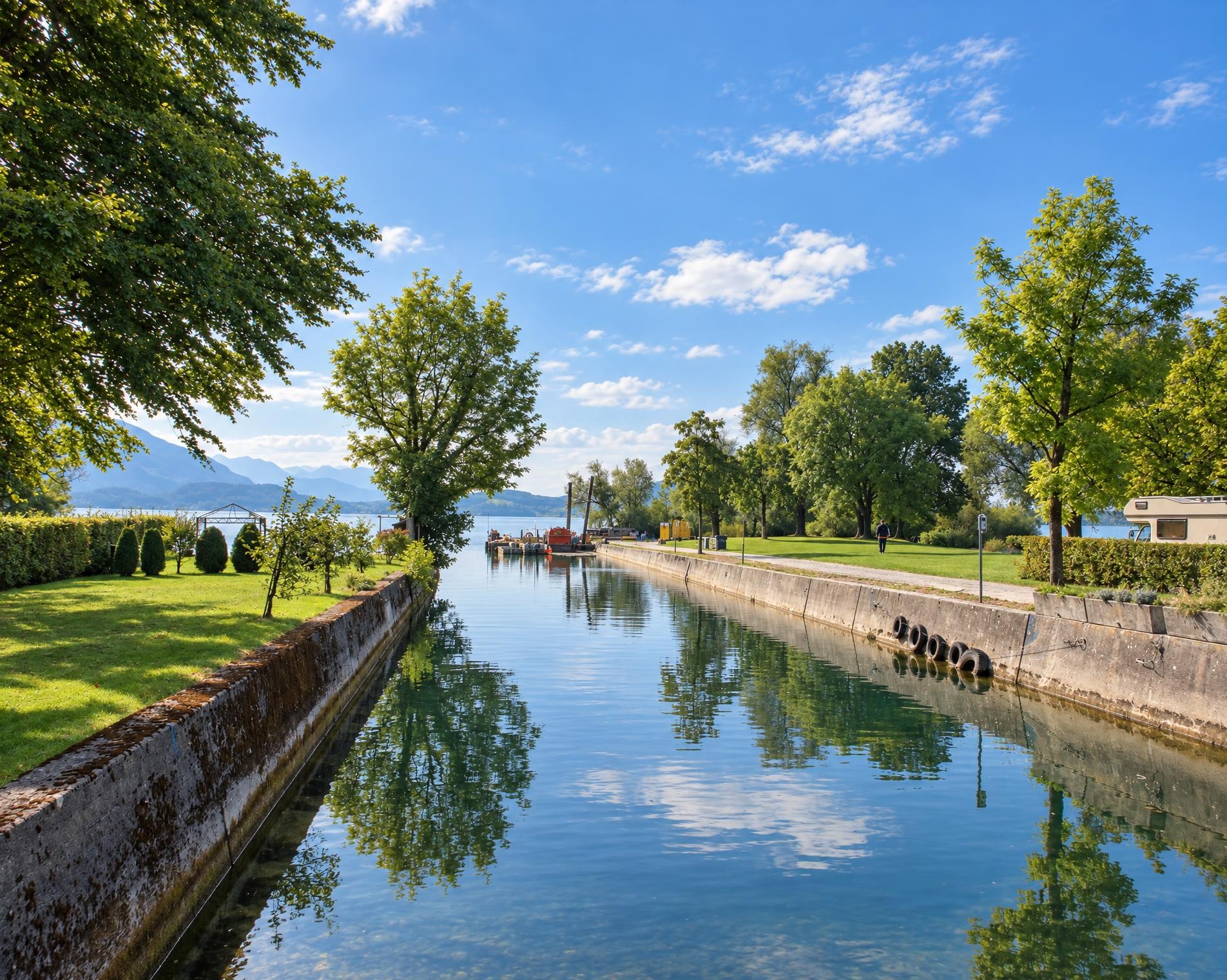
The route then continues towards Zug in a long, mostly gentle descent. Stretches of woodland alternate with open meadows and pastures as the trail gradually loses around 500 metres in elevation. In the final third, it reaches the valley floor and follows the Alte Lorze for a while almost as far as its mouth.
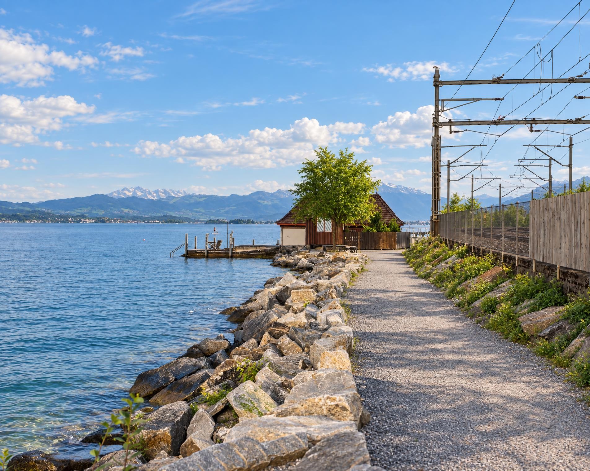
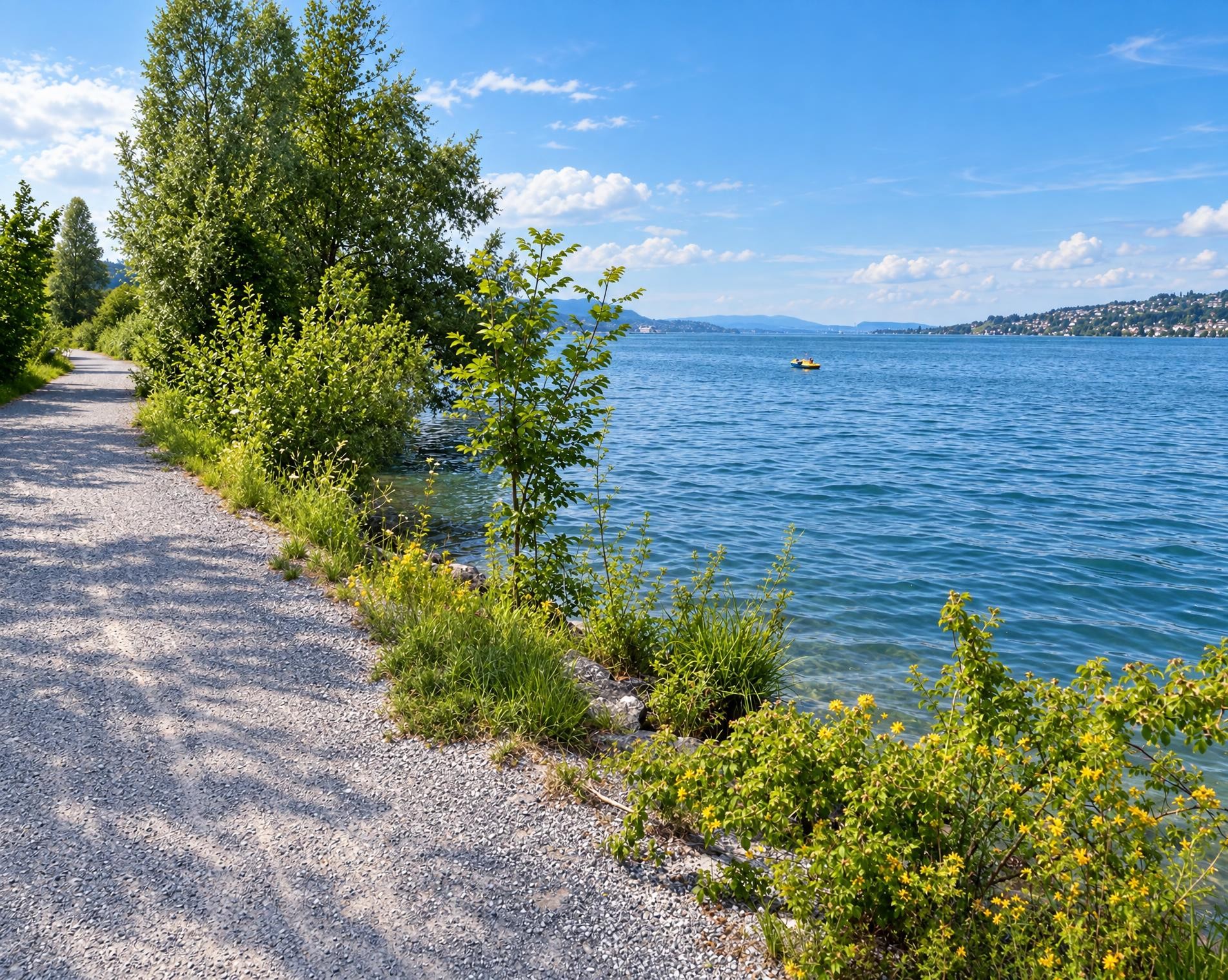
At Lake Zug, the view opens out across the water. The final kilometres run close to the shore, passing the lido and continuing into Neustadt. At the Reformed church, the trail leads through the centre of Zug and ends at Bahnhofplatz after a little over five hours.
02/ Along the route
What's along the way
Where the route climbs and where it descends. Hover the profile to find the spot on the map.
03/ Conditions
Current conditions
What to know before you set off. Closures and snow are re-checked every day.
Schulhaus Wiesental Baar
From 7 Jul 2025 – Until 28 May 2027
Abbruch und Neubau der Schulanlage Wiesental
Fuss- und Radwegunterführung im Brüggli in Zug
From 15 Sept 2025 – Until 31 Mar 2027
Die Fuss- und Radwegunterführung im Brüggli in Zug aus dem Jahre 1973 wird umgebaut. Baustart ist am 15. September 2025. Mit dem Umbau werden die Treppenabgänge durch Rampen ersetzt. Somit werden der Komfort und die Sicherheit für den Velo- und Fussverkehr erhöht. Die Bauarbeiten dauern voraussichtlich bis März 2027.
How we check: Every night we match the route against the official closures and detours from the Federal Roads Office (FEDRO). Any reported closure that touches the route shows up here.
How we check: SLF only publishes its snow maps from November 1. Until then we roughly estimate the snow depth at the lowest and the highest point of the route every day from the nearest SLF measuring stations. Check the situation on site.
04/ Getting there
Getting there
From your door to the trailhead and home again, by train and bus or by car. Computed live from the timetable.
Or from
Outbound
Return
05/ Weather
Weather on the way
Forecast for the lowest and the highest point of the route.
Weather
06/ Trail & landscape
Trail & landscape
Which paths you walk on and the landscape they lead through.
Larches count as conifer forest here.
07/ Snow
Snow on the route
Snow depths, new snow and forecast. Estimates: check the situation on site before you set off.
Snow Info
08/ Export
Take the route with you
Load the track onto your GPS device, print a route sheet for the trail or send the route to your hiking group.
Share
Send the link to friends or your hiking group.
Export GPX File
For hiking apps, GPS watches and navigation devices.
Print Route Sheet
A4 with map, elevation profile, waypoints and emergency numbers.