Hike /Schweiz Mobil
Alpine Panorama Trail, Stage 21/29
JaunGruyères
- Distance
- 22.0 km
- Duration
- 6:00 h
- Ascent
- 500 m
- Descent
- 780 m
- Difficulty
- Easy
- Fitness
- Hard
- Route type
- One way
- Season
- May - October
01/ Overview
The route
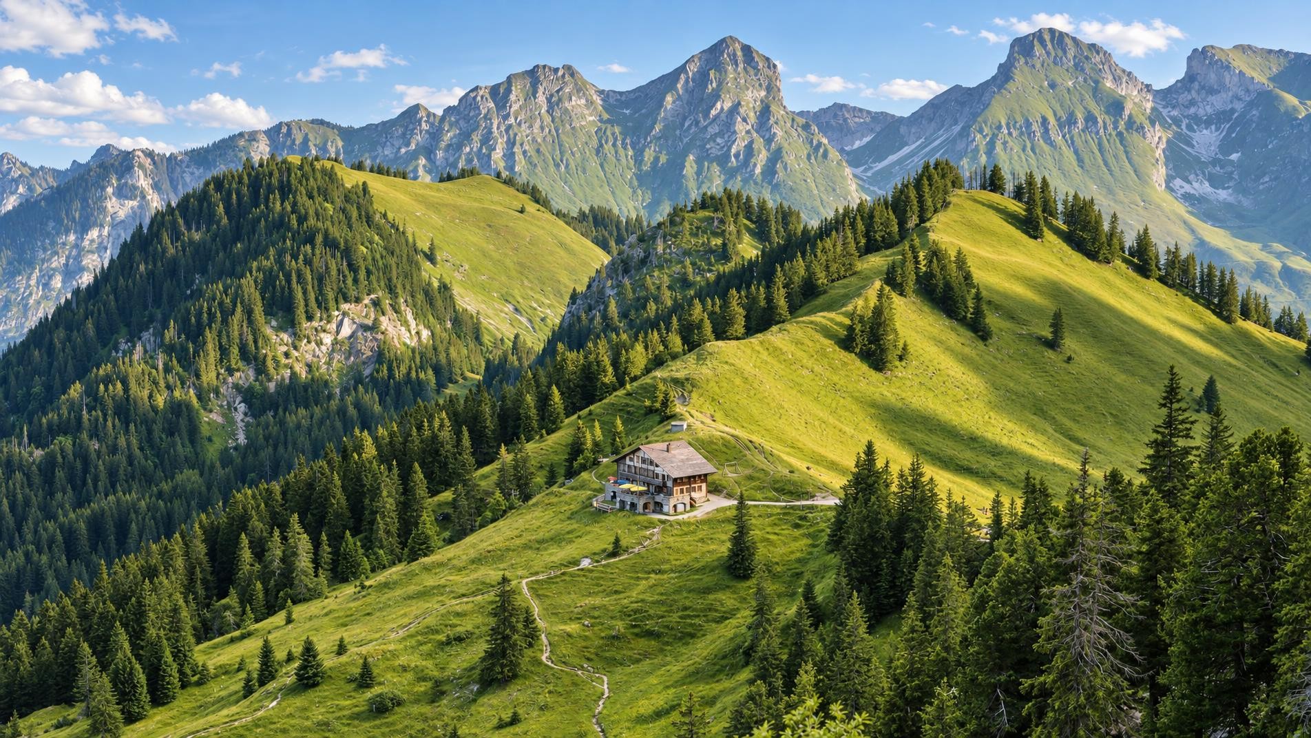
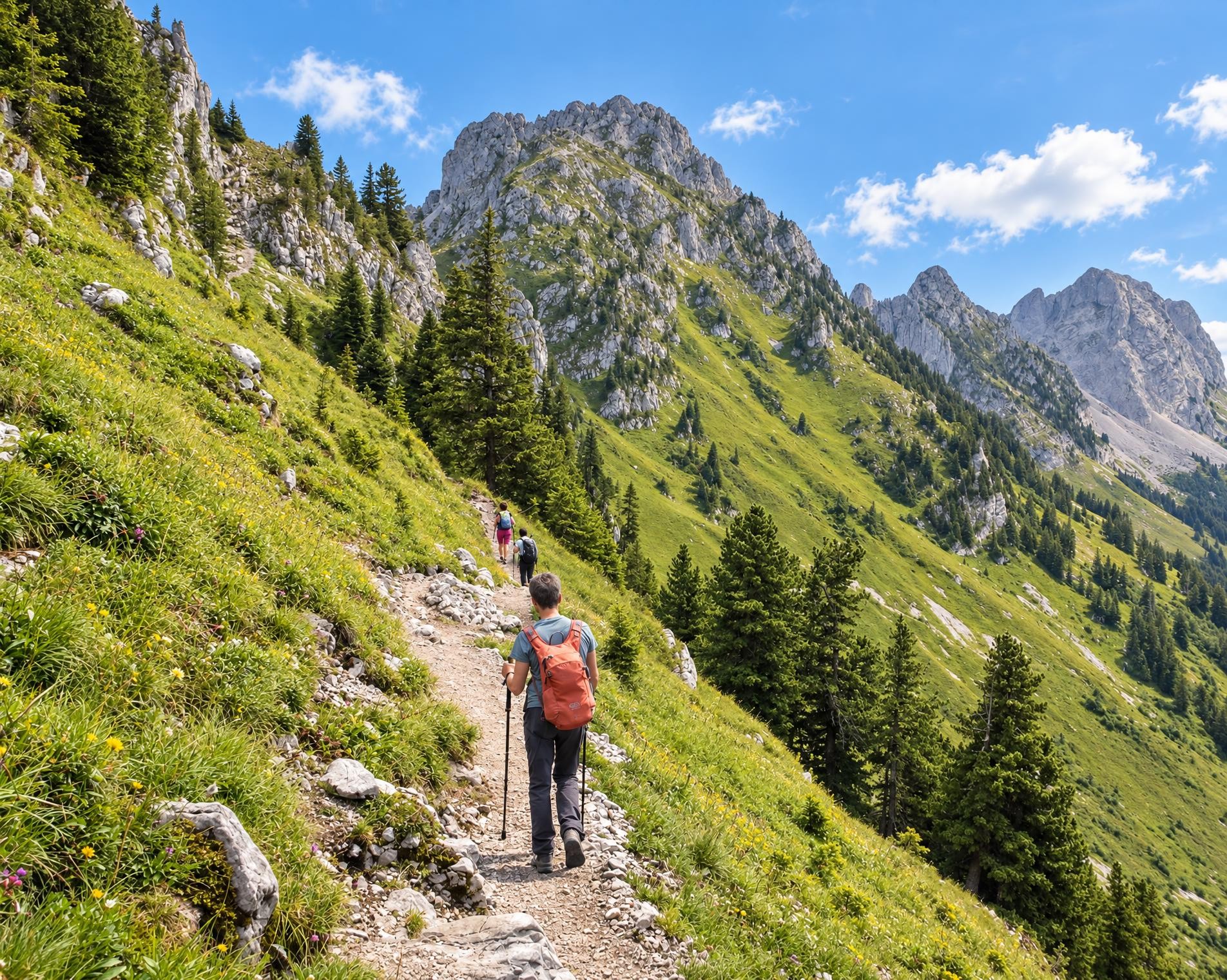
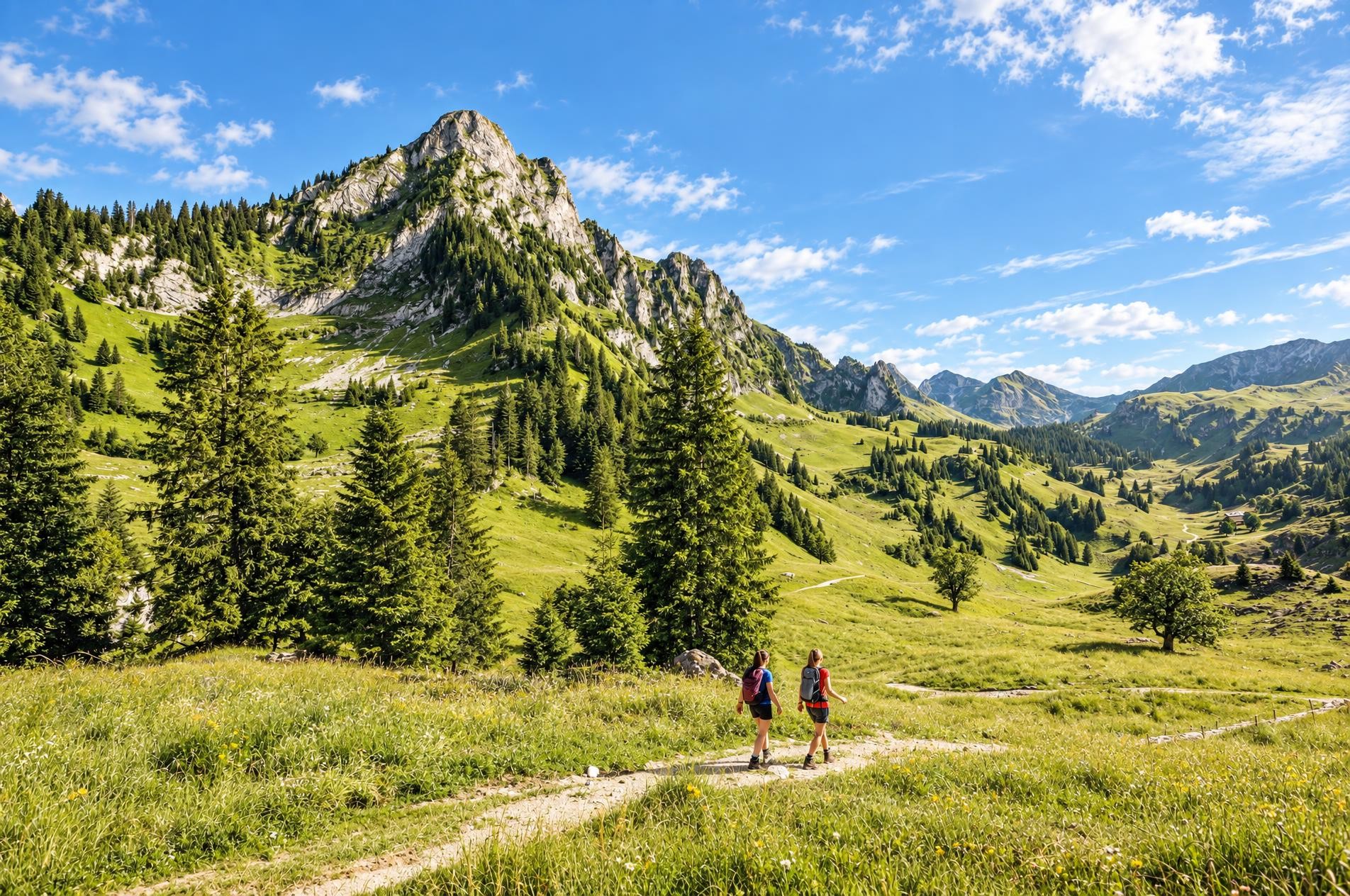
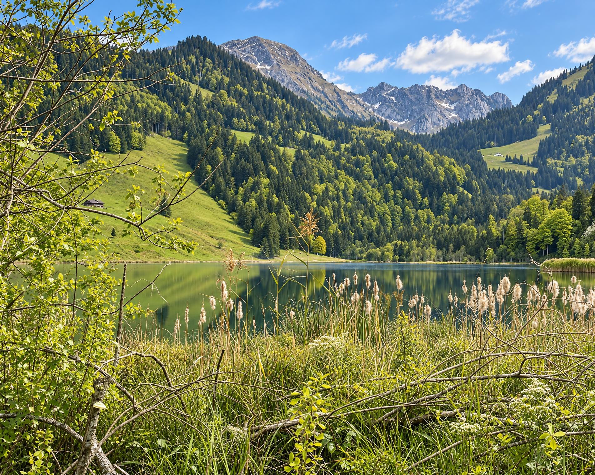
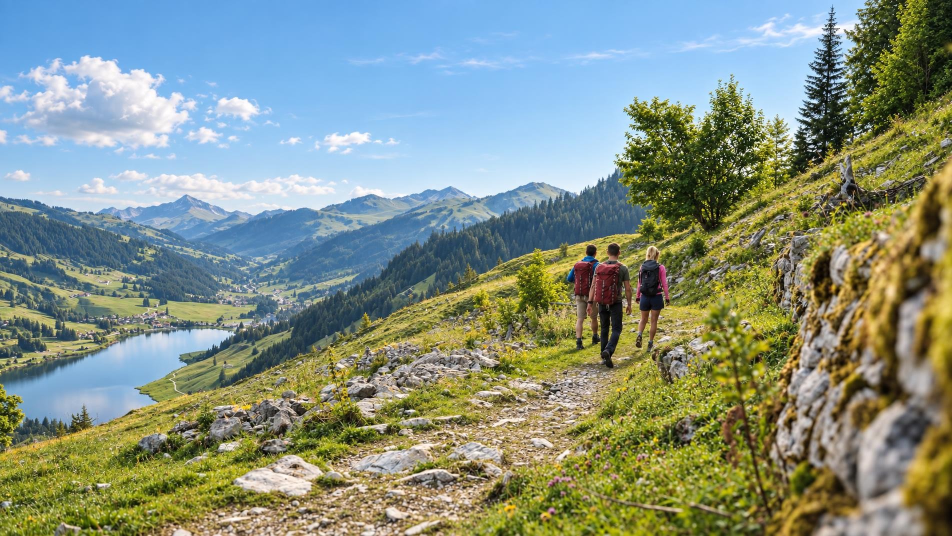
Leisure walkers, culture fans and nature lovers are sure to be in their element on this route from Jaun to Gruyères. The stretch that initially follows the Jaunbach stream and then the river Saane offers a fine demonstration of how water has shaped the landscape. Churches, chapels and the unique heritage of La Gruyère give this route its distinctive character.
The roughly six-hour hike begins at the Jaun, Dorf bus stop, at just over 1,000 metres and also the highest point on the route. The trail leaves the village and crosses open meadows to Im Fang. Woodland and pastures alternate, with gentle intervening climbs bringing the total ascent to around 500 metres.
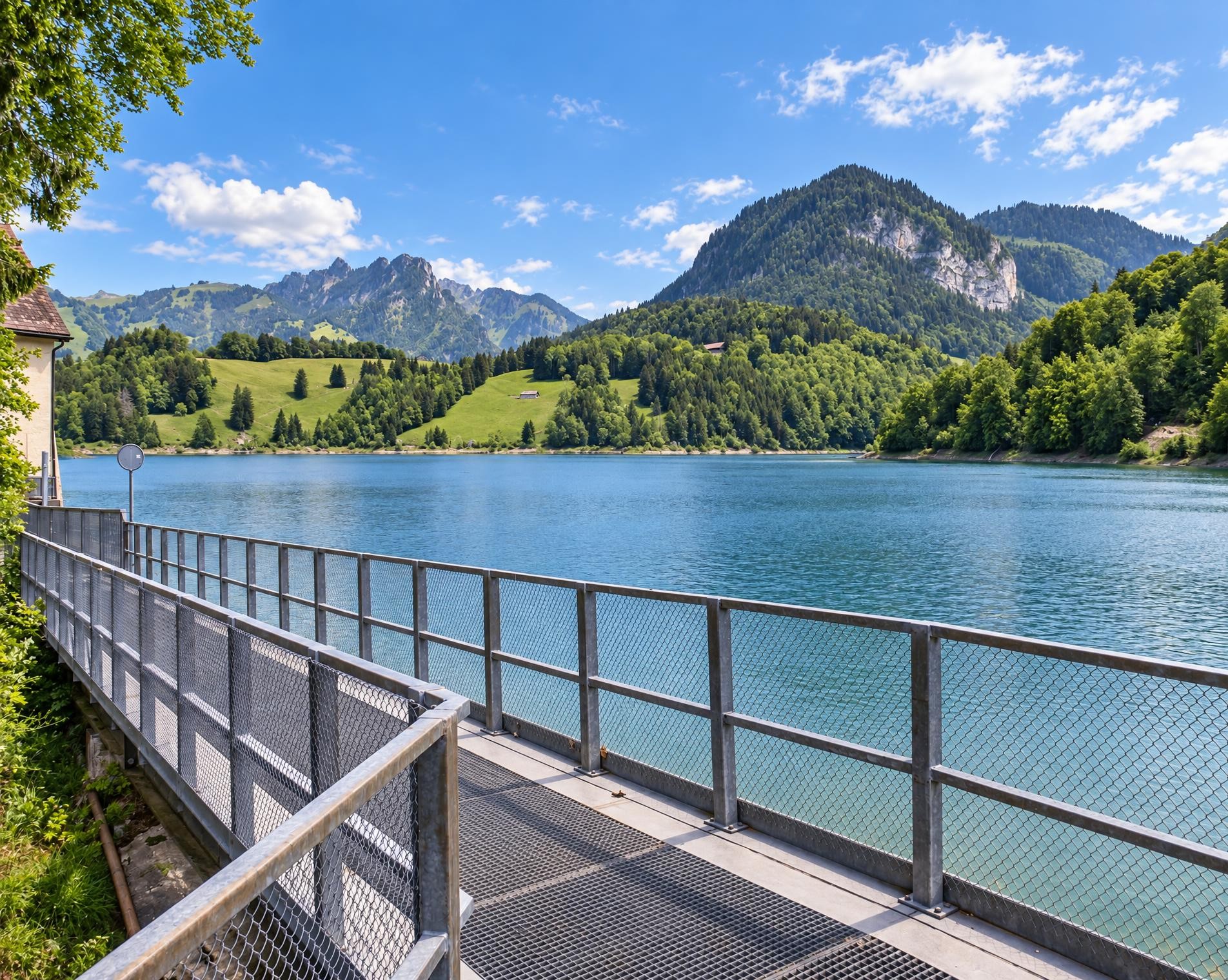
Around halfway along, the route reaches Charmey. After passing the church of Saint-Laurent, it soon arrives at Lac de Montsalvens, a reservoir on the Jogne. The trail follows its shore before continuing downhill through the rural surroundings of Châtel-sur-Montsalvens.
Near Broc, the pilgrimage chapel of Notre-Dame des Marches stands directly on the route. It is a cultural heritage site of national significance. The final section crosses open countryside to Gruyères. After passing the church of Saint-Théodule and Château Saint-Germain, the trail runs through the village before finally descending to Gruyères railway station. The hike ends there after around 22 kilometres.
02/ Along the route
What's along the way
Where the route climbs and where it descends. Hover the profile to find the spot on the map.
03/ Conditions
Current conditions
What to know before you set off. Closures and snow are re-checked every day.
Gorges de la Jogne
From 8 Dec 2025 – Until 7 Dec 2026
Es wurden große Winterschäden festgestellt und es müssten zahlreiche Arbeiten durchgeführt werden, um eine Wiedereröffnung in Betracht zu ziehen. Umleitung möglich zu Fuss über Châtel-sur-Montsalvens (Wanderweg) oder mit dem Bus (Châtel-sur-Montsalvens, Restaurant - Broc-Village, Bahnhof).
How we check: Every night we match the route against the official closures and detours from the Federal Roads Office (FEDRO). Any reported closure that touches the route shows up here.
How we check: We look up a live public transport connection from your starting point to the stop closest to the trailhead. If it ends further away, the nearest stop may be a cable car or bus that isn't running right now.
How we check: Snow depth estimated daily at the lowest and the highest point of the route. Estimates: check the situation on site.
04/ Getting there
Getting there
From your door to the trailhead and home again, by train and bus or by car. Computed live from the timetable.
Or from
Outbound
Return
05/ Weather
Weather on the way
Forecast for the lowest and the highest point of the route.
Weather
06/ Trail & landscape
Trail & landscape
Which paths you walk on and the landscape they lead through.
07/ Snow
Snow on the route
Snow depths, new snow and forecast. Estimates: check the situation on site before you set off.
Snow Info
Comparative snow depth is only available from November 1 to June 30.
08/ Export
Take the route with you
Load the track onto your GPS device, print a route sheet for the trail or send the route to your hiking group.
Share
Send the link to friends or your hiking group.
Export GPX File
For hiking apps, GPS watches and navigation devices.
Print Route Sheet
A4 with map, elevation profile, waypoints and emergency numbers.