Hike /Schweiz Mobil
Freiburger Voralpenweg
FribourgChâteau-d‘Oex
- Distance
- 73.0 km
- Duration
- –
- Ascent
- 3700 m
- Descent
- 3400 m
- Difficulty
- Moderate
- Fitness
- Moderate
- Route type
- One way
01/ Overview
The route
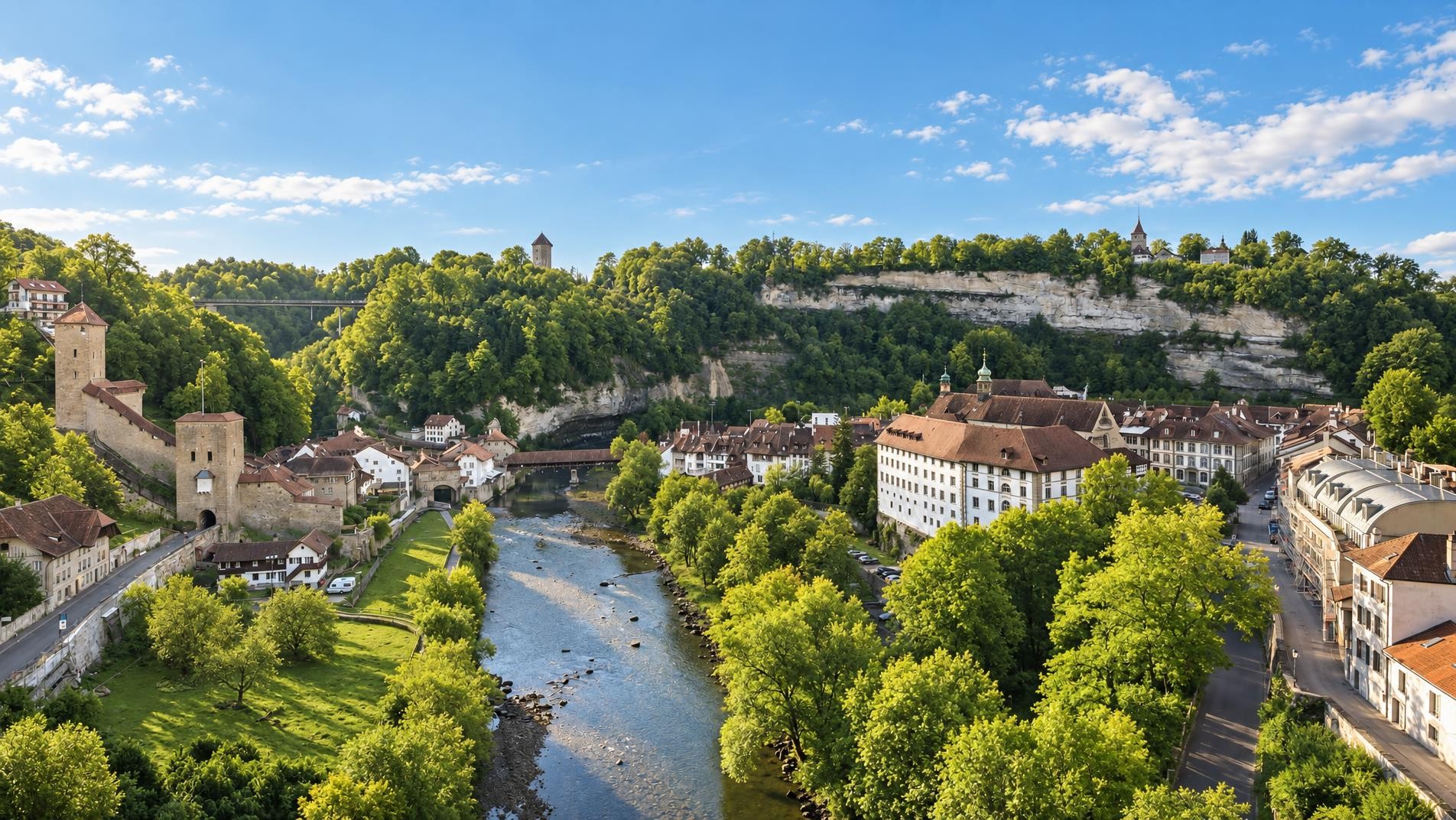
The Freiburger Vorlalpenweg leads in five one-day stages from the medieval town of Fribourg past picturesque Schwarzsee, into the Gruyère region, then along the Gastlosen chain to verdant Pays d’Enhaut and down to the balloonists’ Mecca of Château-d’Oex.
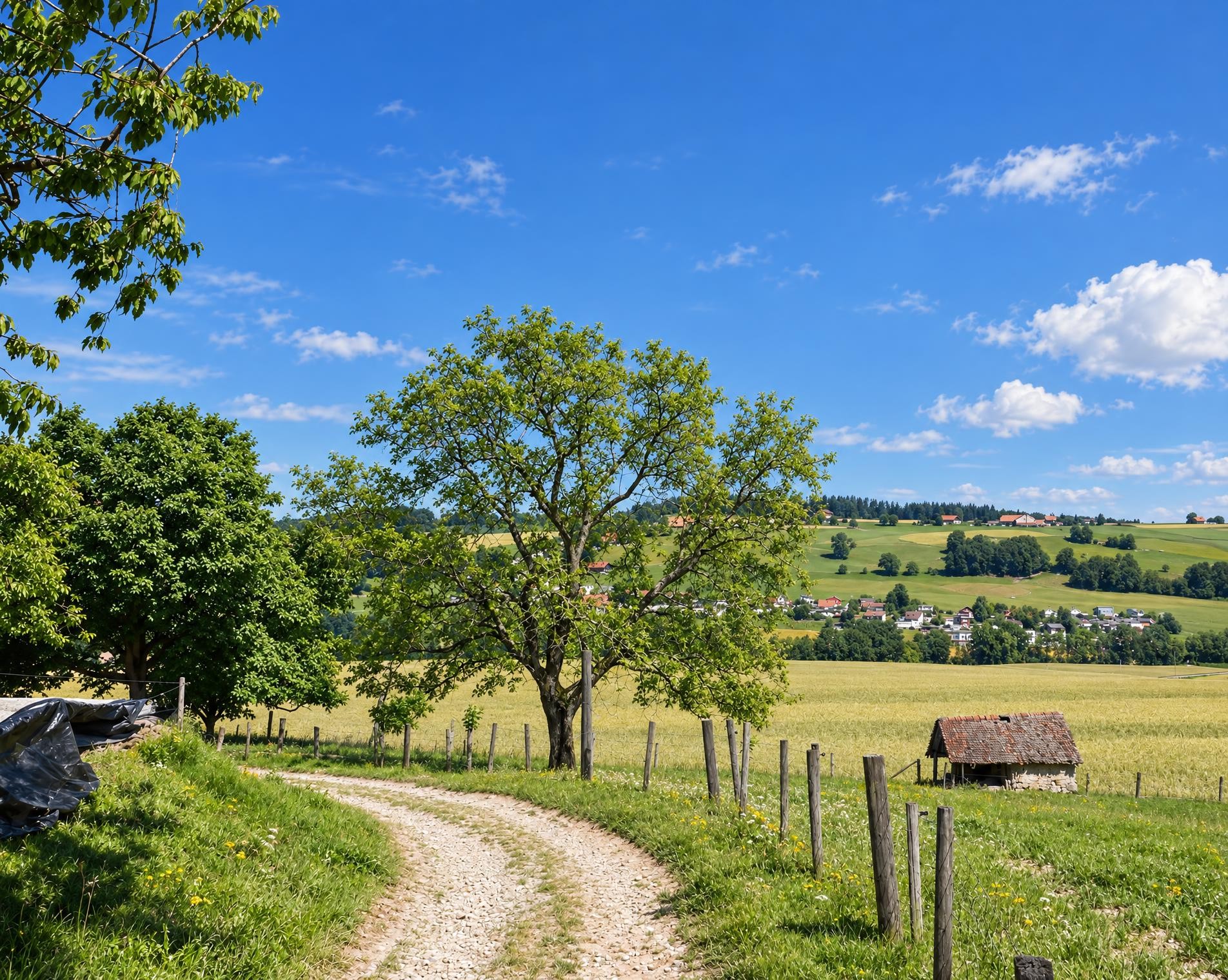
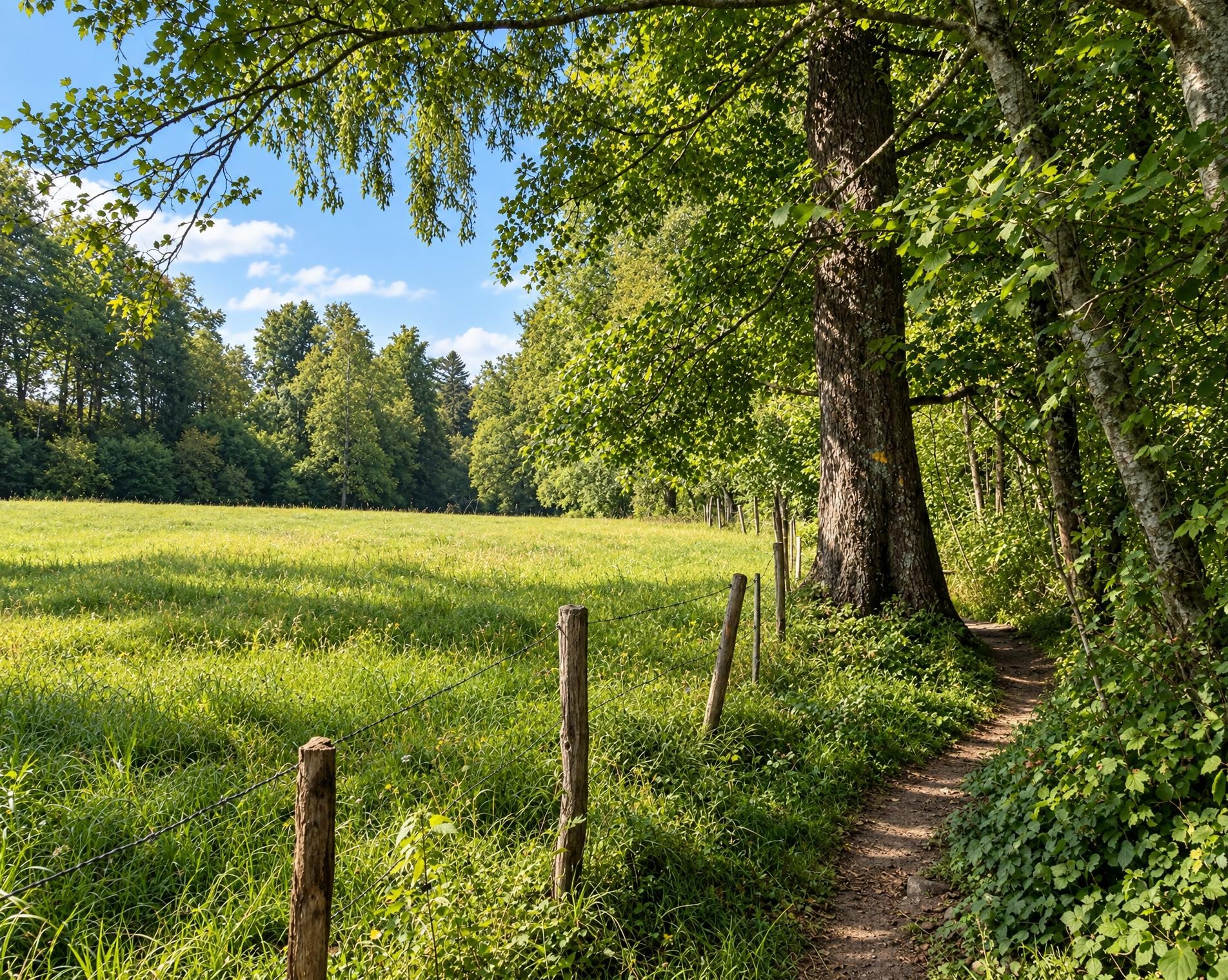
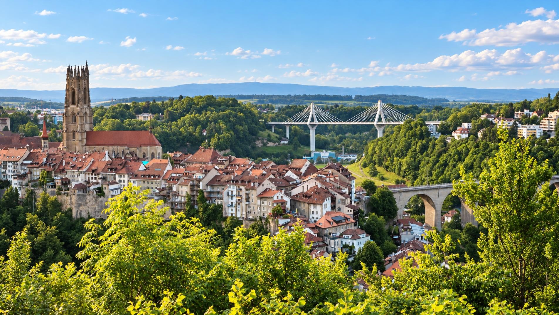
The long route through the city begins at Fribourg railway station. It passes St Nicholas Cathedral before heading out into the rolling countryside, where meadows, forests and villages alternate. Near Brünisried, the Buchenkapelle chapel stands directly beside the trail. Dedicated to St Anthony, the chapel in Oberholz was first mentioned in records in 1586. The route continues via Rechthalten and Plaffeien into the Fribourg Pre-Alps.
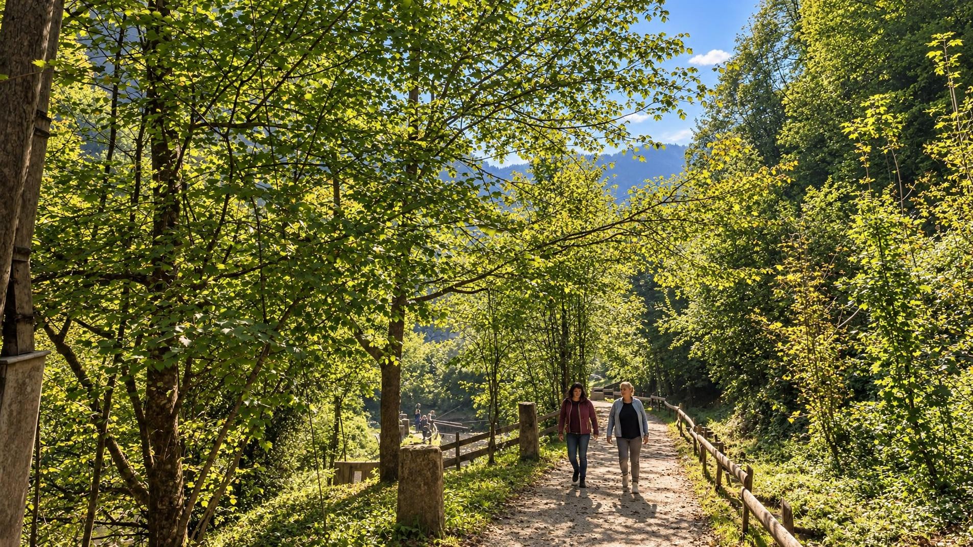
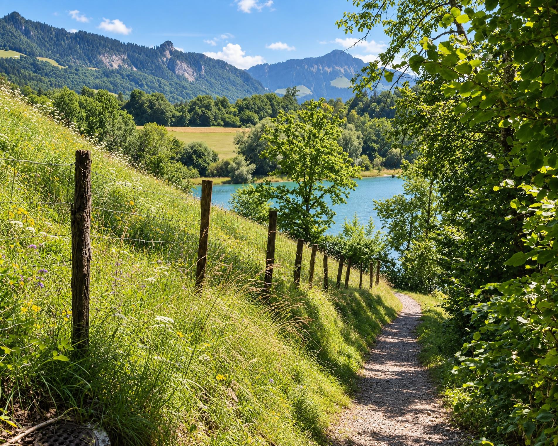
At Schwarzsee, the hike reaches the shore of the lake of the same name. The trail then climbs across open pastures and through forest to Jaun. South of the village, the mountain trail increasingly sets the character of the route; the rocky summits of the Gastlosen, including Rüdigenspitze and Wandflue, lie away from the trail but dominate the surroundings.
The trail continues in a steady succession of ascents and descents to the Jeu-de-Quilles pass. In the final third, it reaches its highest point near the Dent des Bimis at around 1,900 m. The route then loses considerable elevation across alpine pastures and through stretches of forest. The first houses herald the approach to Château-d’Oex; from there, the railway station is only a few steps away.
02/ Along the route
What's along the way
Where the route climbs and where it descends. Hover the profile to find the spot on the map.
03/ Conditions
Current conditions
What to know before you set off. Closures and snow are re-checked every day.
Breccaschlund - Wälschi Rippa
From 27 Apr 2026 – Until 30 Mar 2027
Die Gemeinde Val-de-Charmey hat in Zusammenarbeit mit der Gemeinde Plaffeien festgestellt, dass die Felswand auf der Höhe des Standorts "Rippa" Instabilitäten aufweist.
How we check: Every night we match the route against the official closures and detours from the Federal Roads Office (FEDRO). Any reported closure that touches the route shows up here.
How we check: We look up a live public transport connection from your starting point to the stop closest to the trailhead. If it ends further away, the nearest stop may be a cable car or bus that isn't running right now.
How we check: Snow depth estimated daily at the lowest and the highest point of the route. Estimates: check the situation on site.
04/ Getting there
Getting there
From your door to the trailhead and home again, by train and bus or by car. Computed live from the timetable.
Or from
Outbound
Return
05/ Weather
Weather on the way
Forecast for the lowest and the highest point of the route.
Weather
06/ Trail & landscape
Trail & landscape
Which paths you walk on and the landscape they lead through.
07/ Snow
Snow on the route
Snow depths, new snow and forecast. Estimates: check the situation on site before you set off.
Snow Info
Comparative snow depth is only available from November 1 to June 30.
08/ Export
Take the route with you
Load the track onto your GPS device, print a route sheet for the trail or send the route to your hiking group.
Share
Send the link to friends or your hiking group.
Export GPX File
For hiking apps, GPS watches and navigation devices.
Print Route Sheet
A4 with map, elevation profile, waypoints and emergency numbers.