Hike /Schweiz Mobil
Mittelbünden-Panoramaweg
LenzerheideDavos
- Distance
- 41.0 km
- Duration
- 13:50 h
- Ascent
- 2600 m
- Descent
- 2500 m
- Difficulty
- Moderate
- Fitness
- Hard
- Route type
- One way
01/ Overview
The route
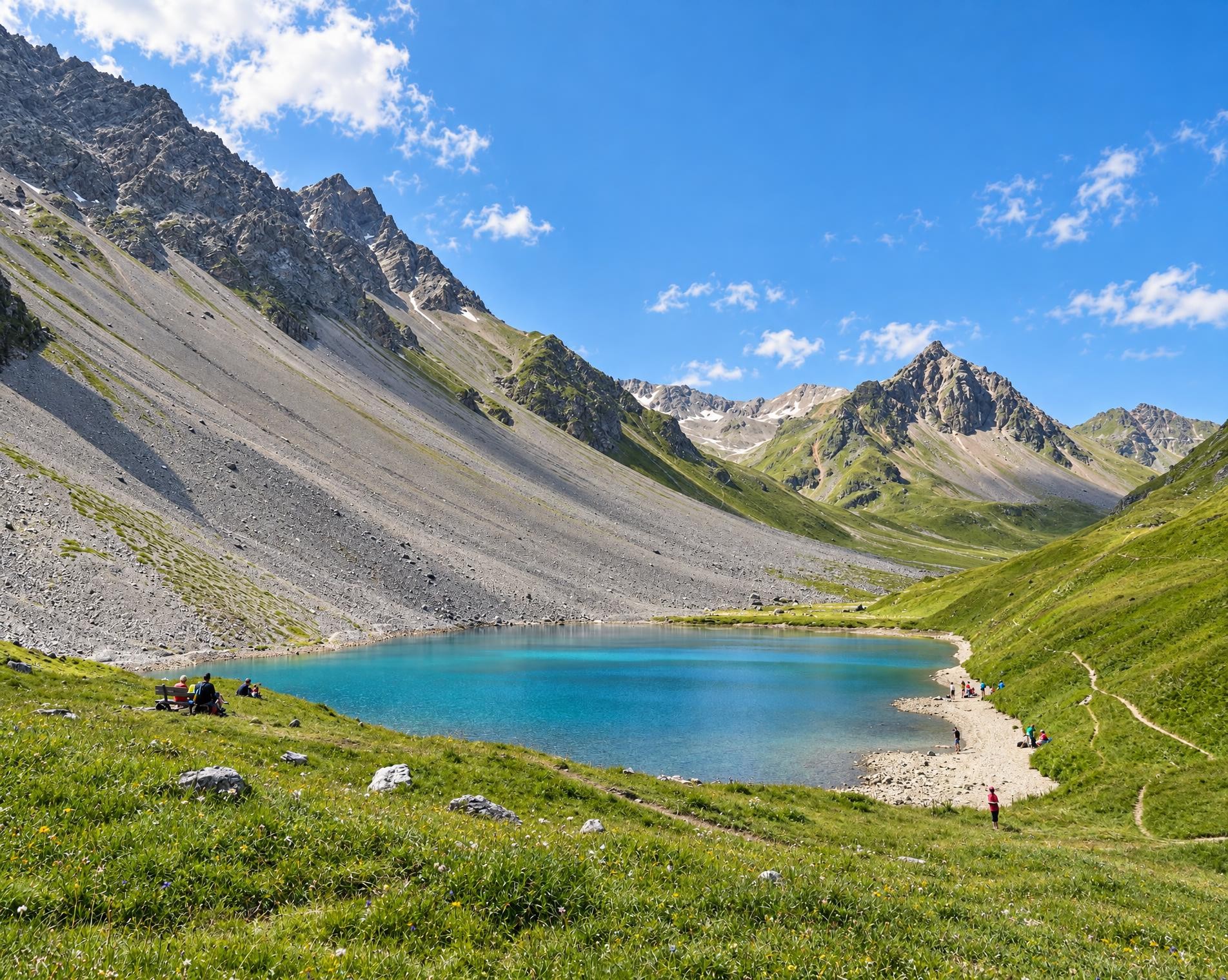
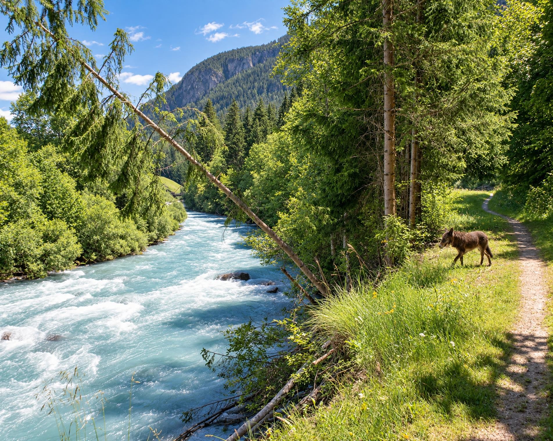
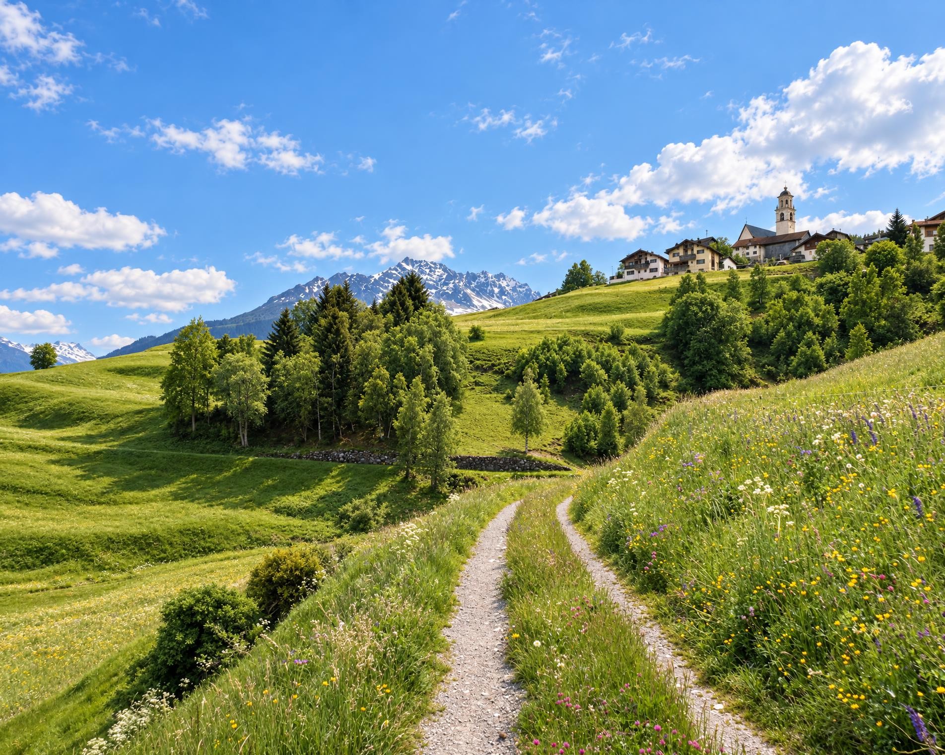
This tour offers an interesting cross section from Lenzerheide through the Schanfigg to Davos. Geology takes priority on the first section, whilst the second follows the footsteps of the Walser settlers. And in the middle, the tourist resort of Arosa beckons.
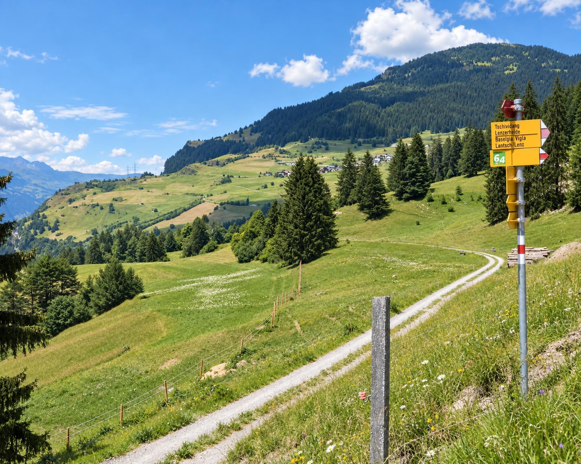
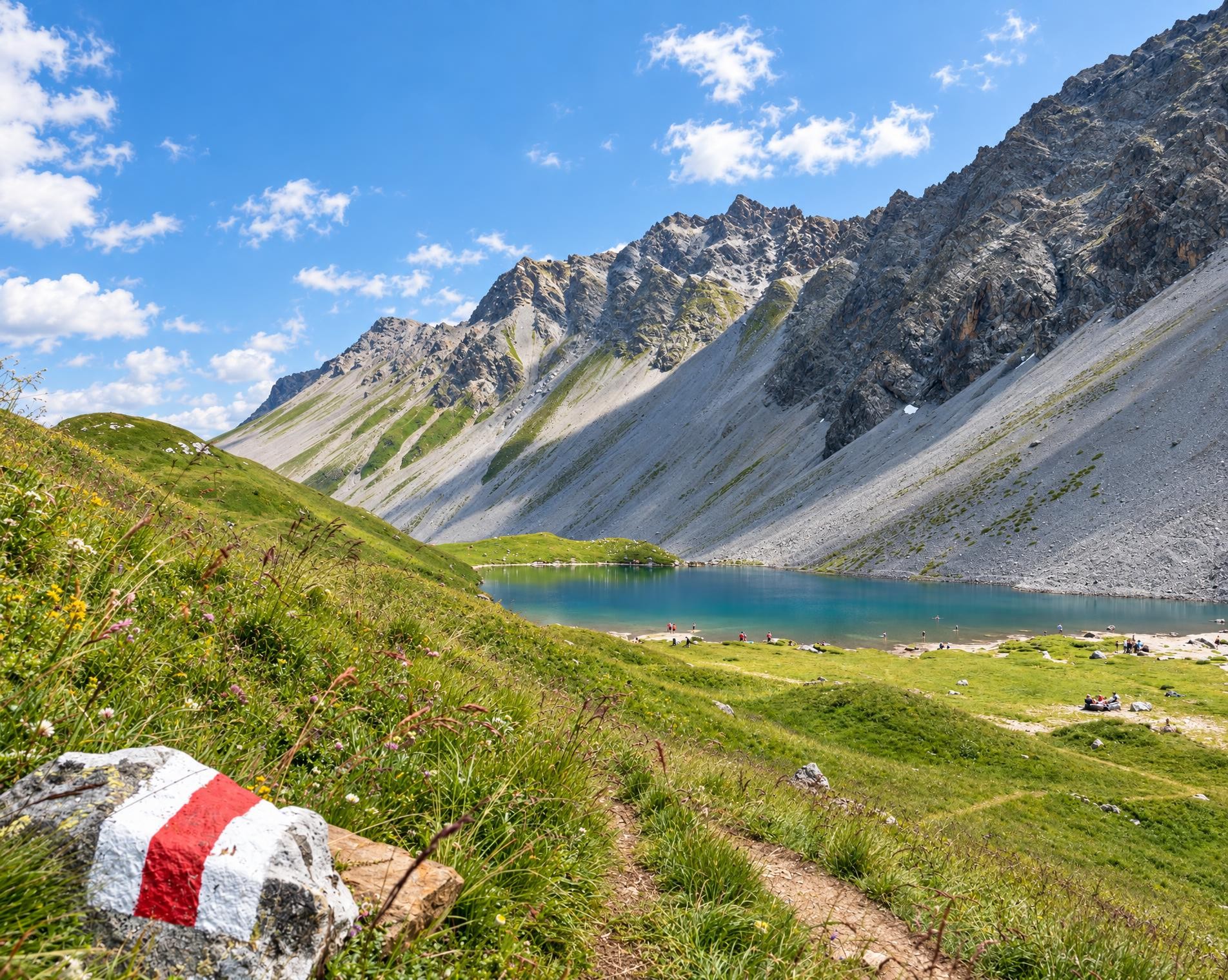
From the Lenzerheide/Lai, Post bus stop, the trail soon leaves the village and climbs across open slopes into the rocky high mountains. Near the Parpaner Rothorn, the route reaches its highest point at just under 2,860 m. The mountain trail then continues to Gredigs Fürggli before the long descent into the Schanfigg begins.
At Älplisee, the route meets the Plessur and follows it via Schwellisee to Innerarosa. Between open pastures and the first houses, it continues to Arosa, along Obersee and on to the shore of the Arosa reservoir. Forests and settlements now replace the barren mountain landscape.
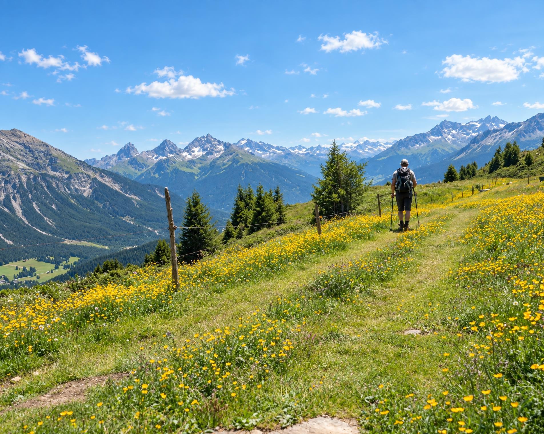
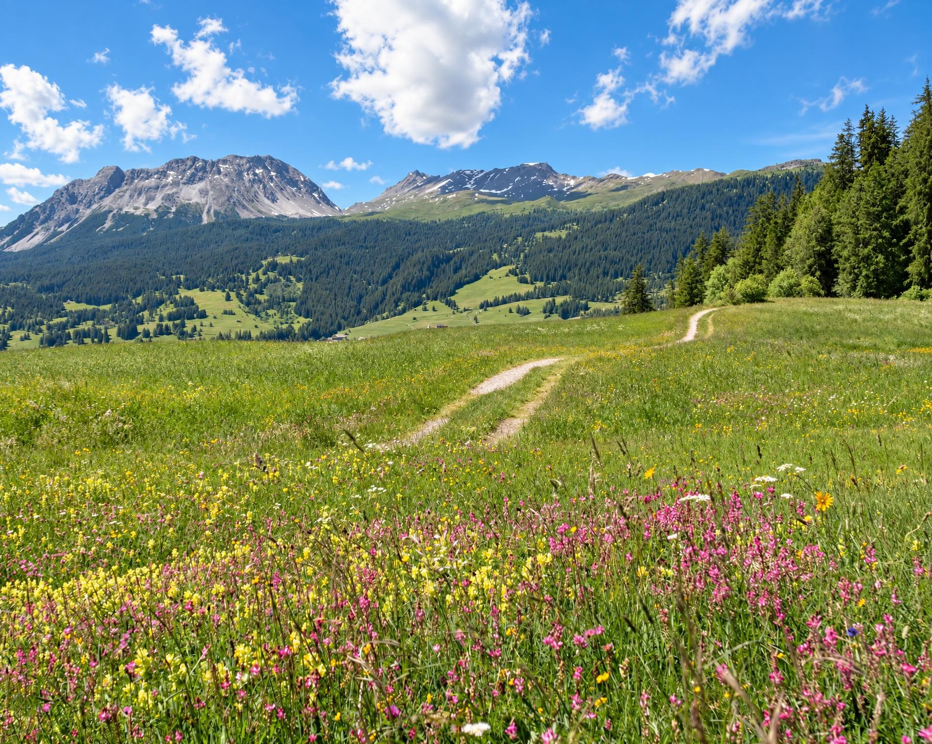
Beyond Arosa, the mountain trail climbs steeply once more. Via Tieja and Medergen, it crosses alpine pastures to Latschüelfurgga at 2,409 m. The pass opens the way into the Davos valley; the route descends across open slopes and through forest to Schatzalp, then continues to Davos Platz. Not far from the church of St. Johann, the long mountain hike ends at the Davos Platz stop.
02/ Along the route
What's along the way
Where the route climbs and where it descends. Hover the profile to find the spot on the map.
03/ Conditions
Current conditions
What to know before you set off. Closures and snow are re-checked every day.
Mittler Hütta - Scheitaboda
From 19 May 2025 – Until 27 Nov 2026
Infolge Strassenneubau ist der Wanderweg Tschugga - Scheitaboda gesperrt.
Davos/Schatzalp - Bobbahnstrasse
From 23 Sept 2026 – Until 30 Oct 2026
Die Bobbahnstrasse ist im Abschnitt Büschalpweg bis Schatzalp infolge Bauarbeiten bis ca. Ende Oktober 2026 gesperrt.
How we check: Every night we match the route against the official closures and detours from the Federal Roads Office (FEDRO). Any reported closure that touches the route shows up here.
There may be snow on this hiking trail. Bring appropriate gear and plan accordingly.
How we check: SLF only publishes its snow maps from November 1. Until then we roughly estimate the snow depth at the lowest and the highest point of the route every day from the nearest SLF measuring stations. Check the situation on site.
04/ Getting there
Getting there
From your door to the trailhead and home again, by train and bus or by car. Computed live from the timetable.
Or from
Outbound
Return
05/ Weather
Weather on the way
Forecast for the lowest and the highest point of the route.
Weather
06/ Trail & landscape
Trail & landscape
Which paths you walk on and the landscape they lead through.
Larches count as conifer forest here.
07/ Snow
Snow on the route
Snow depths, new snow and forecast. Estimates: check the situation on site before you set off.
Snow Info
08/ Export
Take the route with you
Load the track onto your GPS device, print a route sheet for the trail or send the route to your hiking group.
Share
Send the link to friends or your hiking group.
Export GPX File
For hiking apps, GPS watches and navigation devices.
Print Route Sheet
A4 with map, elevation profile, waypoints and emergency numbers.