XC Ski Trail /Schweiz Mobil
Panoramaloipe Braunwald
Braunwald, Grotzenbüel
- Distance
- 9.0 km
- Duration
- –
- Ascent
- 240 m
- Descent
- 240 m
- Fitness
- Hard
- Route type
- Loop
01/ Overview
The route
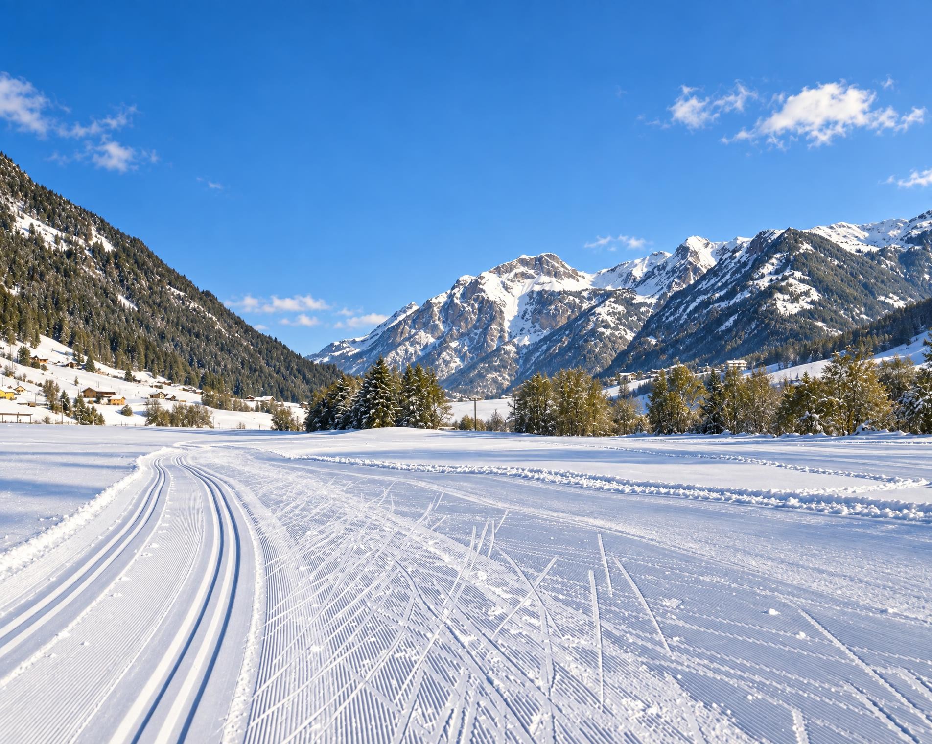
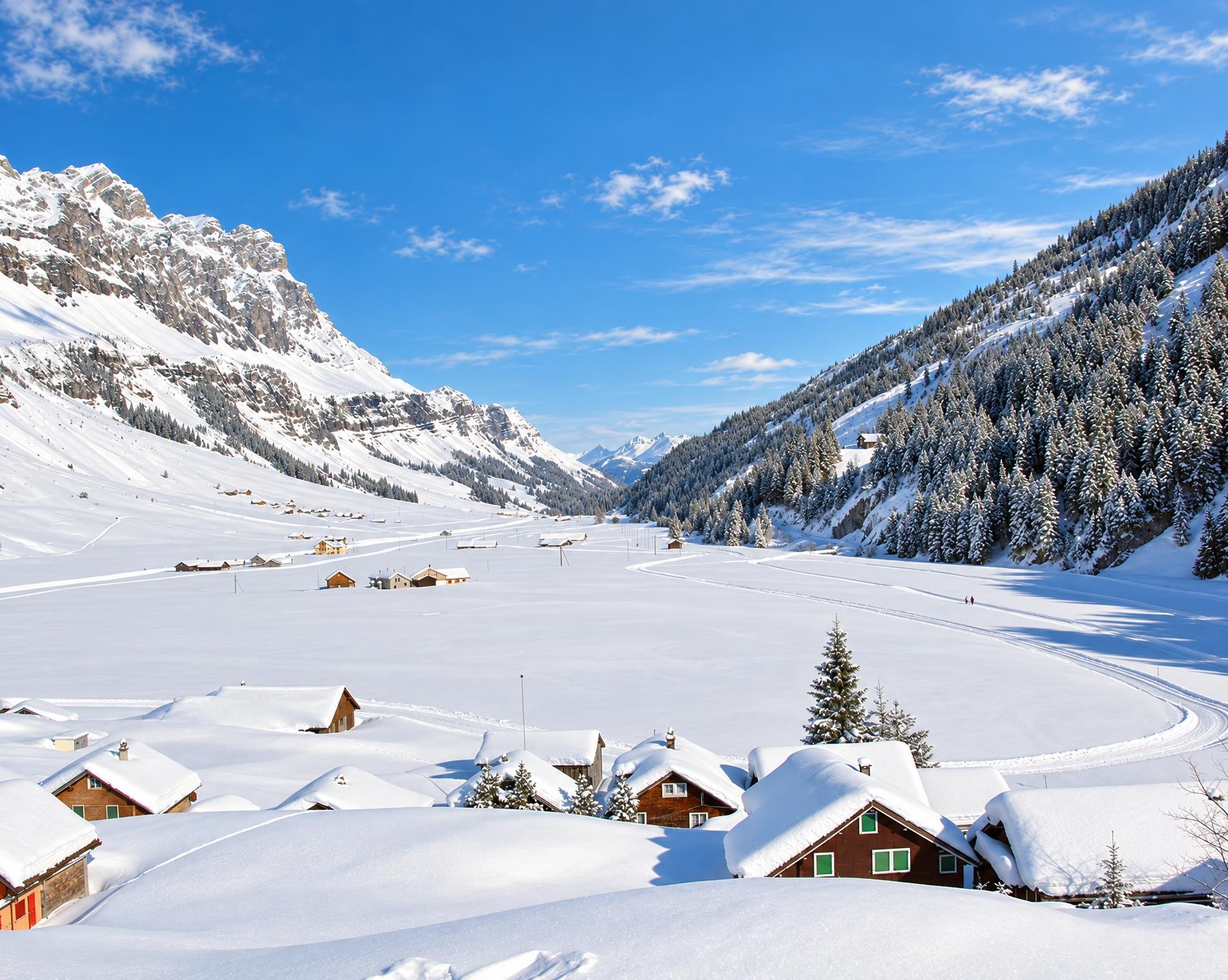
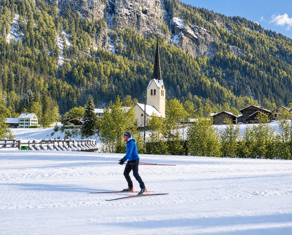
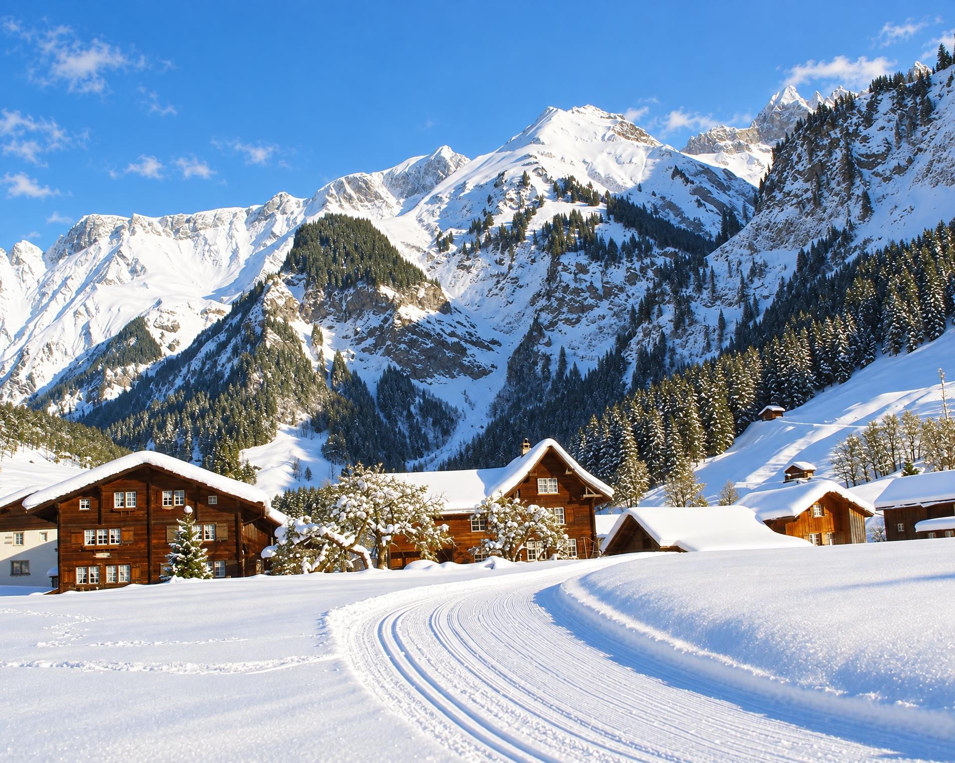
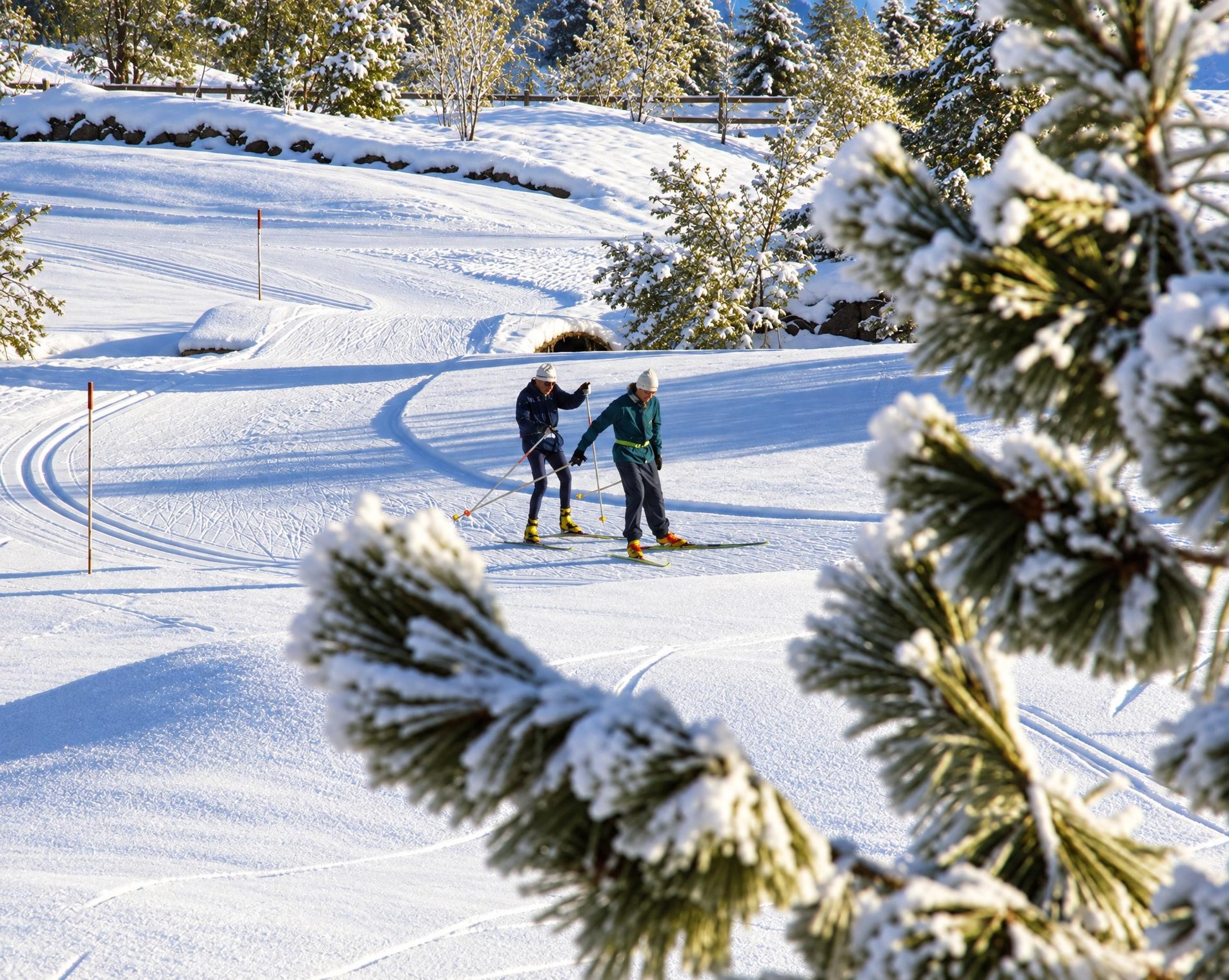
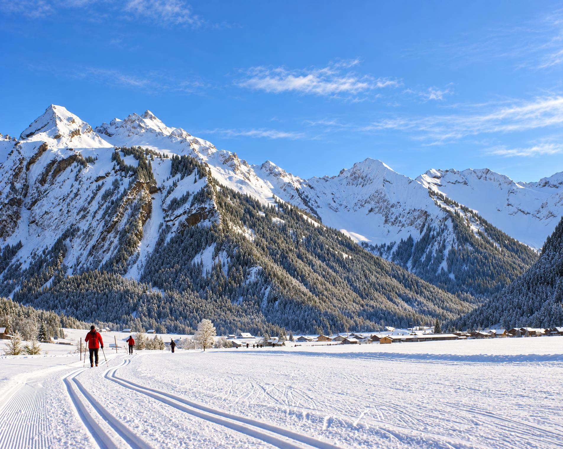
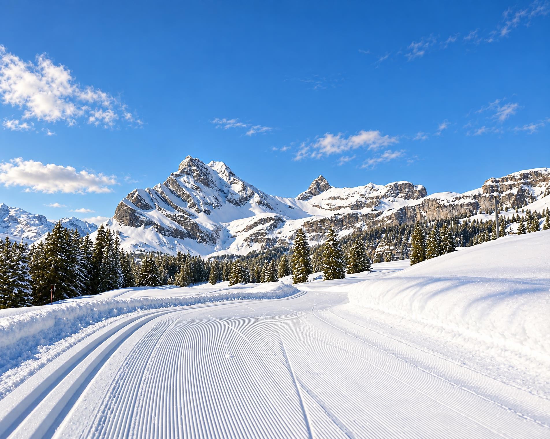
With views of the Tödi, the Hausstock and the Ortstock, cross-country skiing on the Grotzenbüel at around 1,500 metres above sea level is an unforgettable experience. The trail follows multiple loops and offers various combination options thanks to the open, Alpine terrain.
The nine-kilometre trail starts at the Grotzenbüel (Hüttenberg) stop and crosses the open slopes above Braunwald. Initially, it leads gently up and down away from the starting point, gradually losing elevation before reaching its lowest point at around 1,460 metres after roughly a third of the circuit. Expansive meadows and pastures dominate the landscape.
A good two and a half hours should be allowed for the circuit. This is followed by the longer climb back up. The route gains around 240 metres in total, spread across several climbs rather than concentrated in a single ascent. In the final third, the edge of the forest draws closer; near Rindenhüttli, the trail passes through the woods. Shortly before the end, it reaches its highest point at around 1,580 metres, not far from Leitereggstogg. From there, a final curve leads back to Braunwald, Grotzenbüel, right by the Grotzenbüel (Hüttenberg) stop.
02/ Along the route
What's along the way
Where the route climbs and where it descends. Hover the profile to find the spot on the map.
03/ Conditions
Current conditions
What to know before you set off. Closures and snow are re-checked every day.
How we check: Every night we match the route against the official closures and detours from the Federal Roads Office (FEDRO). Any reported closure that touches the route shows up here.
How we check: We look up a live public transport connection from your starting point to the stop closest to the trailhead. If it ends further away, the nearest stop may be a cable car or bus that isn't running right now.
Cross-country skiing is more fun in the snow! Check local conditions before heading out.
How we check: Snow depth estimated daily at the lowest and the highest point of the route. Estimates: check the situation on site.
04/ Getting there
Getting there
From your door to the trailhead and home again, by train and bus or by car. Computed live from the timetable.
Or from
Outbound
Return
05/ Weather
Weather on the way
Forecast for the lowest and the highest point of the route.
Weather
06/ Trail & landscape
Trail & landscape
Which paths you walk on and the landscape they lead through.
07/ Snow
Snow on the route
Snow depths, new snow and forecast. Estimates: check the situation on site before you set off.
Snow Info
Comparative snow depth is only available from November 1 to June 30.
08/ Export
Take the route with you
Load the track onto your GPS device, print a route sheet for the trail or send the route to your hiking group.
Share
Send the link to friends or your hiking group.
Export GPX File
For hiking apps, GPS watches and navigation devices.
Print Route Sheet
A4 with map, elevation profile, waypoints and emergency numbers.