Sledding Trail /Schweiz Mobil
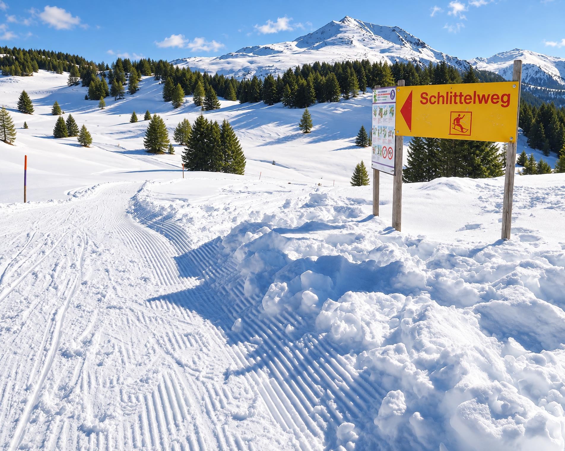
Schlittelweg Mutta Südhang
Feldis, MuttaFeldis, Sesselbahn
- Distance
- 5.0 km
- Duration
- –
- Ascent
- –
- Descent
- 500 m
- Difficulty
- Easy
- Route type
- One way
01/ Overview
The route
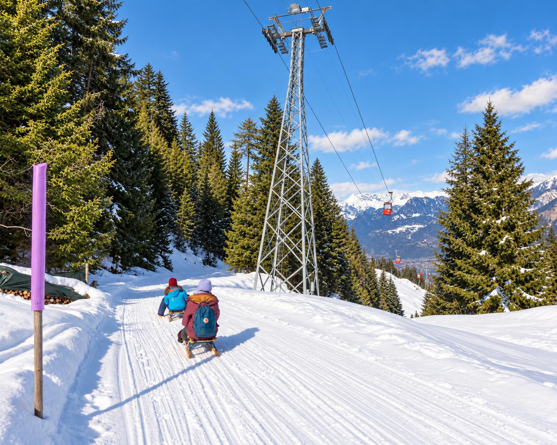
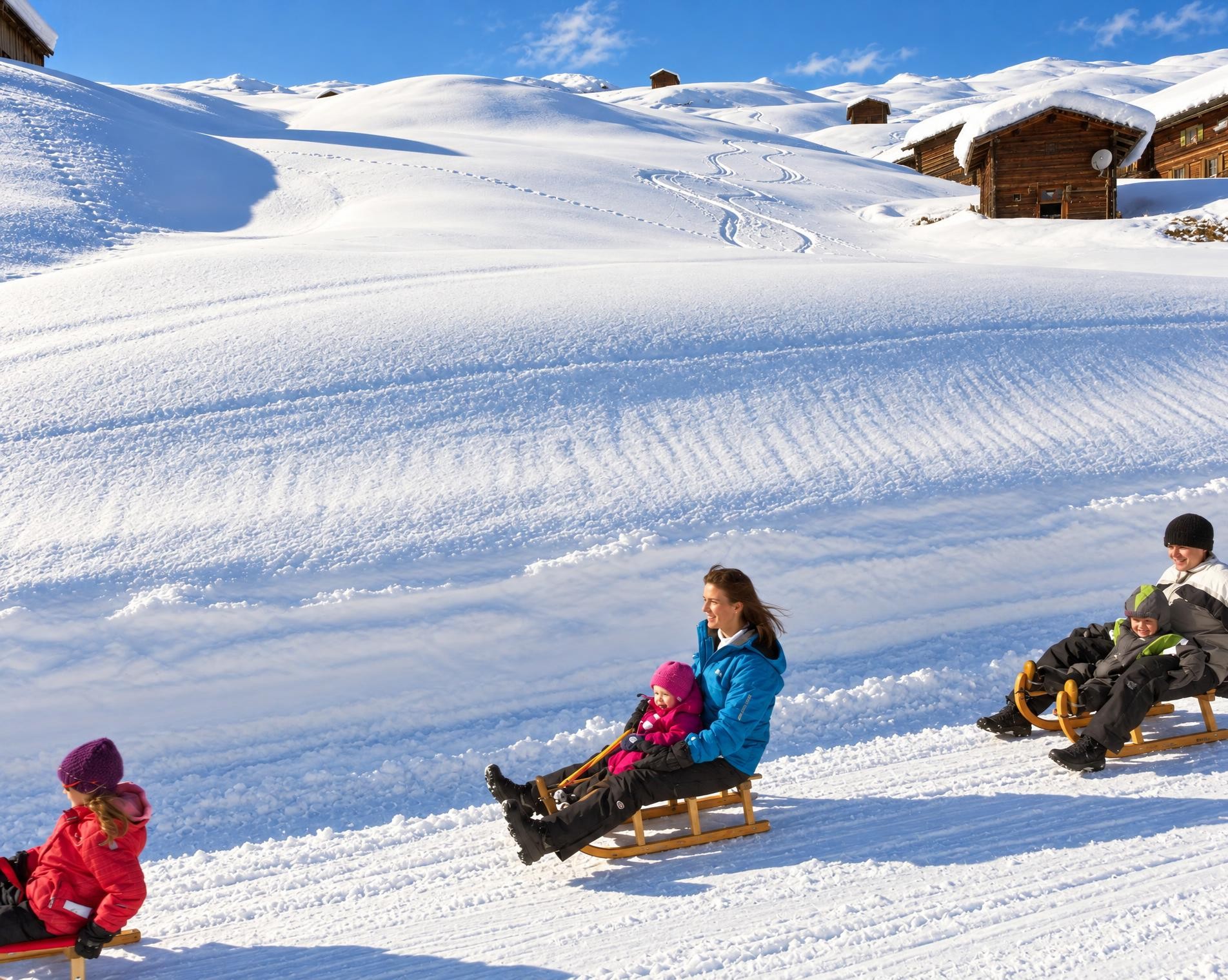
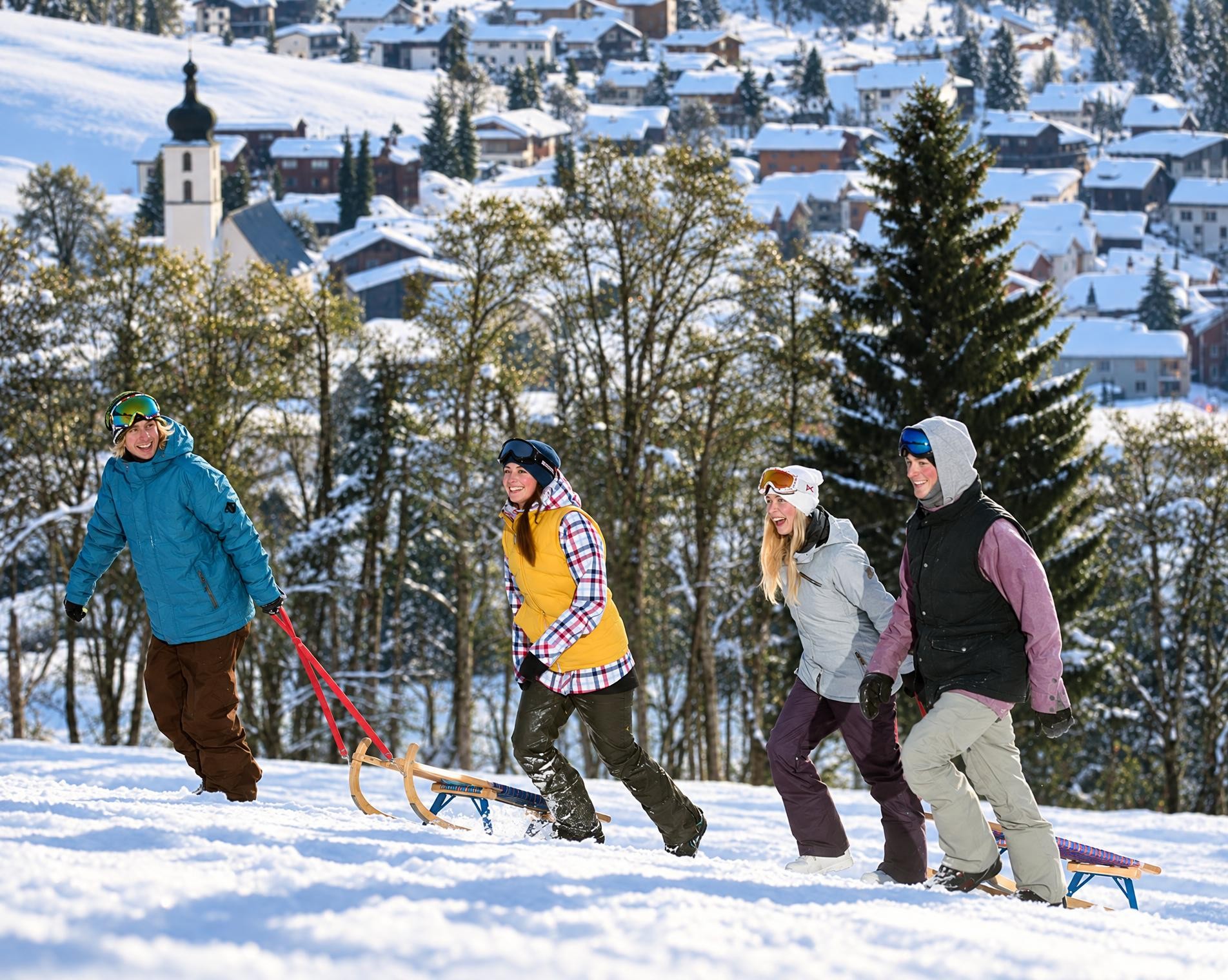
The Feldis-Mutta chairlift is a relaxed and comfortable way to ride high up to the start of the toboggan run – ideal for families, with splendid views of the Domleschg and Heinzenberg peaks and majestic Piz Beverin. Along the way: Alp Raguta with its natural ice rink.
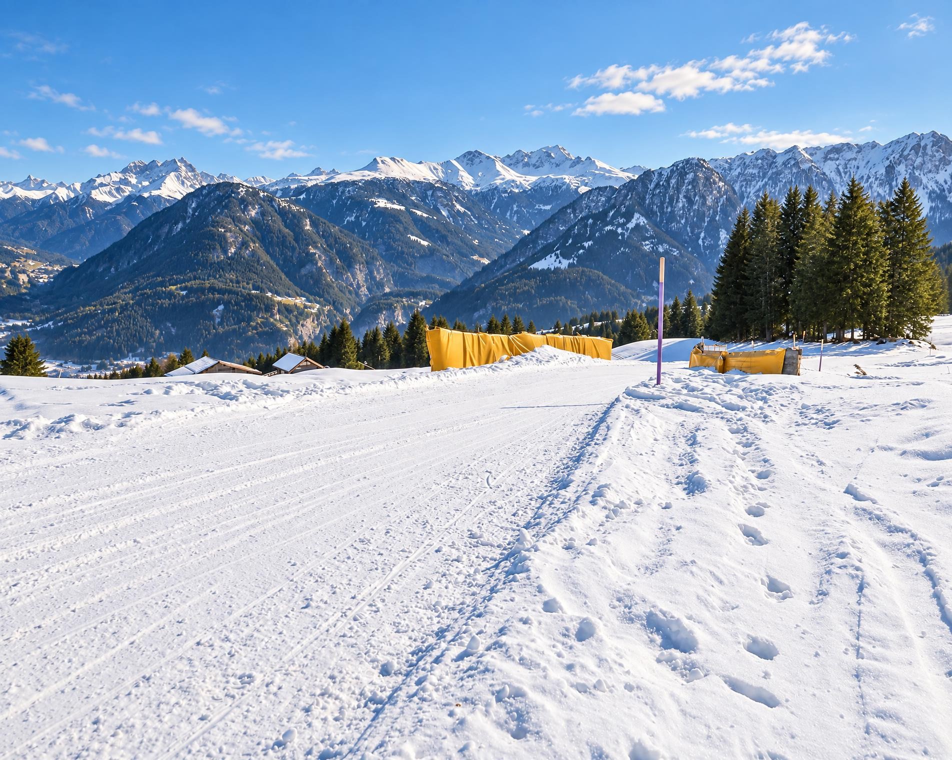
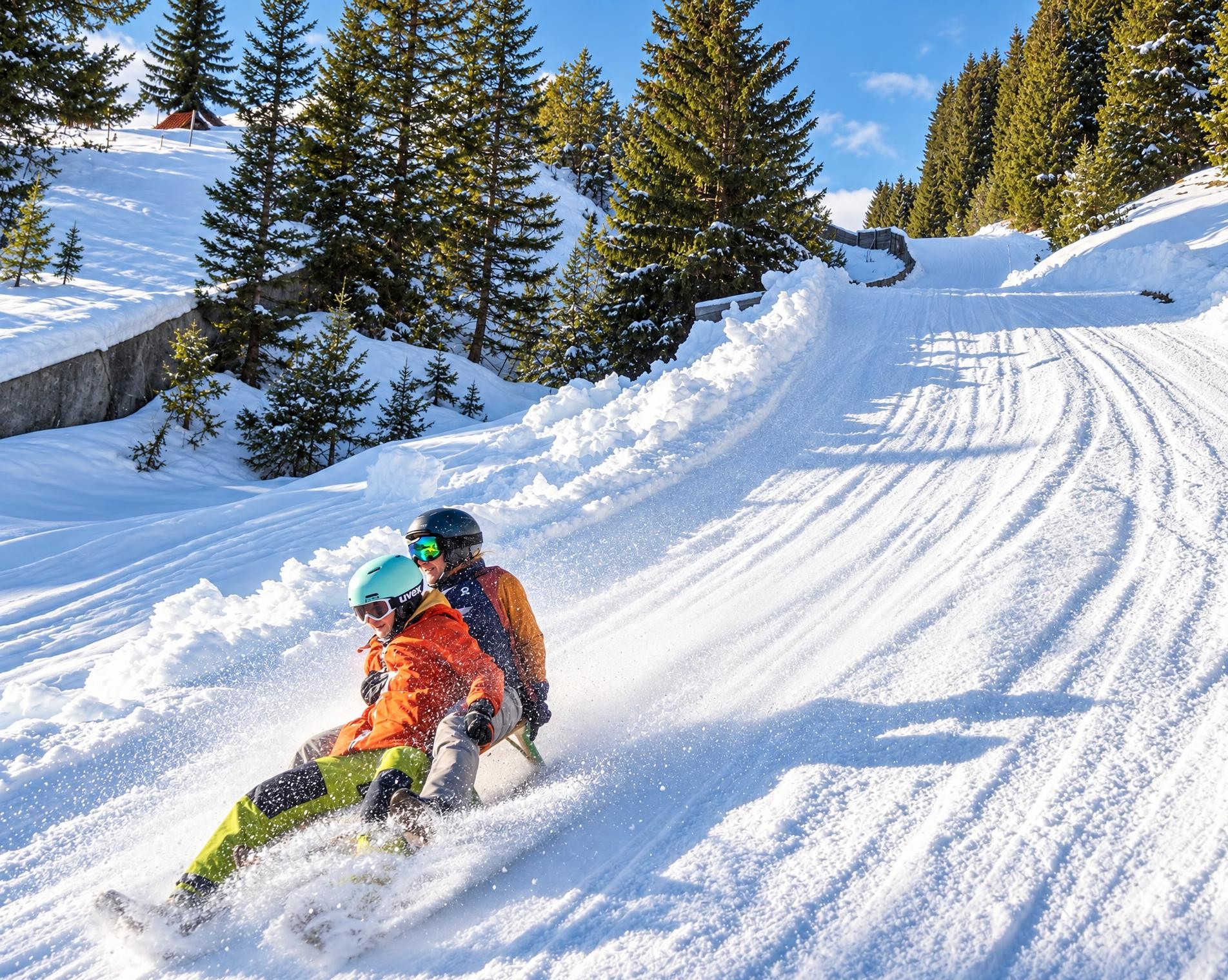
The toboggan run begins at Mutta station, the highest point on the route at just under 2,000 m. Open terrain characterises the first section. After only a few hundred metres, the route passes directly by Alp Raguta. From there, the descent continues down open slopes to the houses of Plaun digls Mats.
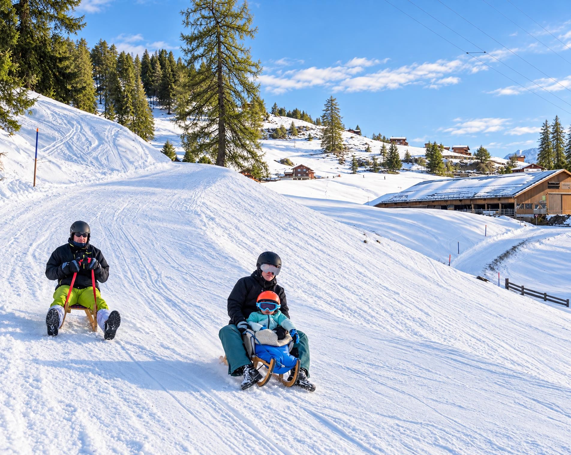
After just over two kilometres, the surroundings change: the forest draws closer and accompanies the longer second section of the five-kilometre run. The route descends around 500 metres on the way to Feldis, initially remaining in the forest. Towards the end, the final stretch leads closer to the houses again. After just over an hour, the run reaches its lowest point. It ends immediately beside Raschuns at the Feldis/Veulden chairlift.
02/ Along the route
What's along the way
Where the route climbs and where it descends. Hover the profile to find the spot on the map.
03/ Conditions
Current conditions
What to know before you set off. Closures and snow are re-checked every day.
Waldstrasse Ransul - Feldis Gemeinde Domleschg
From 11 Jun 2026 – Until 30 Nov 2026
Die Bauarbeiten an der Waldstrasse „Ransul“ dauern voraussichtlich bis Ende November. Die am Bau beteiligten Personen sind bestrebt bis auf Weiteres den Weg jeweils am Wochenende zu öffnen. Die Umfahrung während den Bauarbeiten wird über die Strasse Sterna sichergestellt.
How we check: Every night we match the route against the official closures and detours from the Federal Roads Office (FEDRO). Any reported closure that touches the route shows up here.
How we check: SLF only publishes its snow maps from November 1. Until then we roughly estimate the snow depth at the lowest and the highest point of the route every day from the nearest SLF measuring stations. Check the situation on site.
04/ Getting there
Getting there
From your door to the trailhead and home again, by train and bus or by car. Computed live from the timetable.
Or from
Outbound
Return
05/ Weather
Weather on the way
Forecast for the lowest and the highest point of the route.
Weather
06/ Trail & landscape
Trail & landscape
Which paths you walk on and the landscape they lead through.
Larches count as conifer forest here.
07/ Snow
Snow on the route
Snow depths, new snow and forecast. Estimates: check the situation on site before you set off.
Snow Info
08/ Export
Take the route with you
Load the track onto your GPS device, print a route sheet for the trail or send the route to your hiking group.
Share
Send the link to friends or your hiking group.
Export GPX File
For hiking apps, GPS watches and navigation devices.
Print Route Sheet
A4 with map, elevation profile, waypoints and emergency numbers.