Hike /Schweiz Mobil
Schwarzwasser-Sense-Schluchtenweg
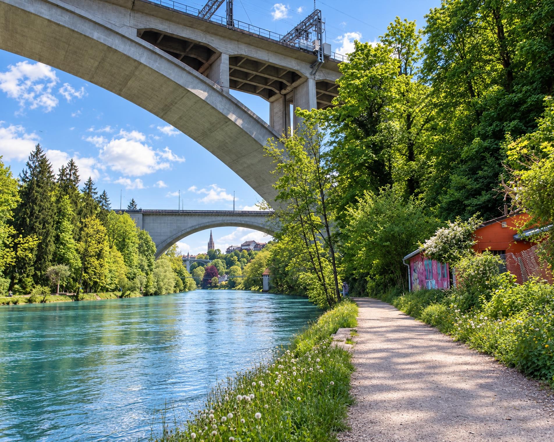
Schwarzwasserbrücke
- Distance
- 23.0 km
- Duration
- –
- Ascent
- 950 m
- Descent
- 950 m
- Difficulty
- Easy
- Fitness
- Moderate
- Route type
- Loop
01/ Overview
The route
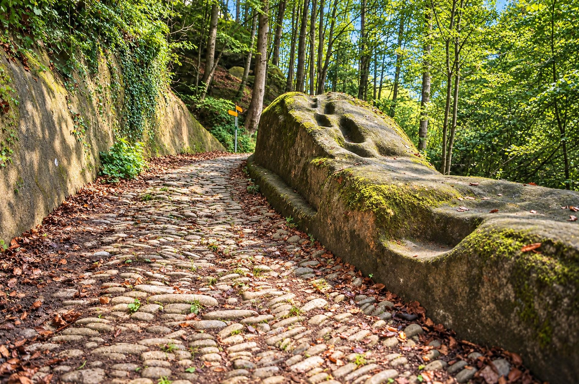
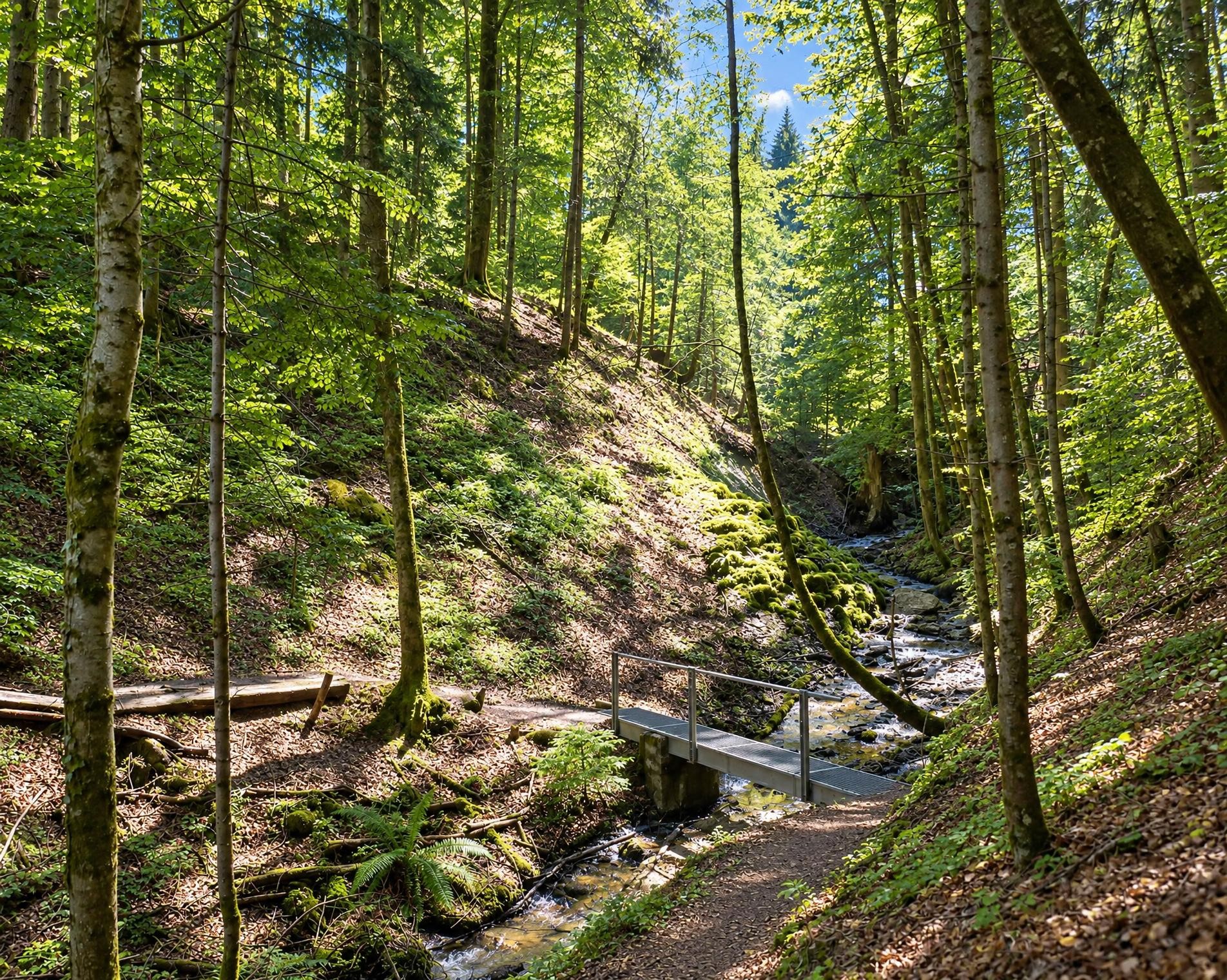
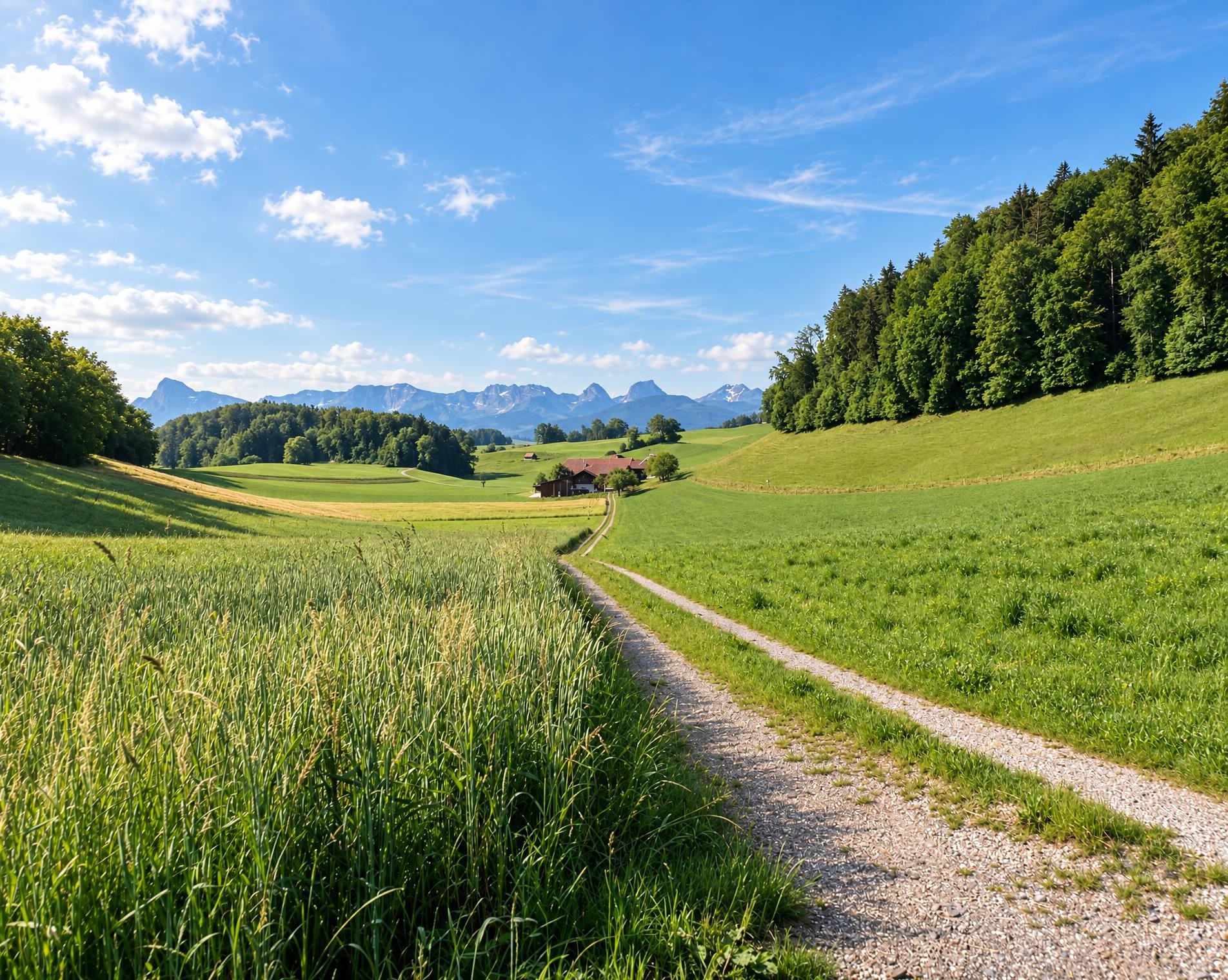
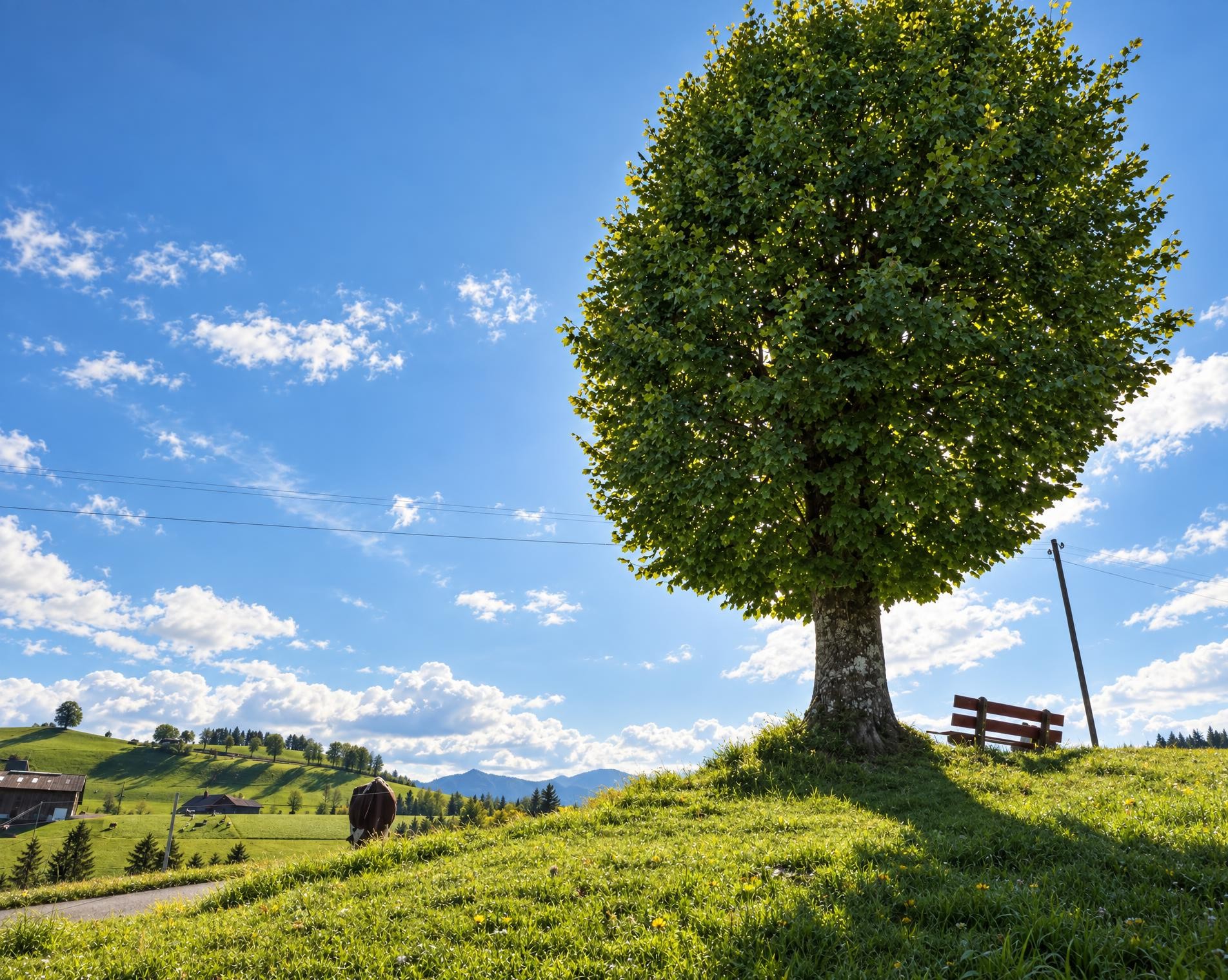
The route crosses several times the two gorges or follows their course. Large streams of ice age meltwater dug these imposing gorges through sandstone. Various bridge constructions can be admired. At each river crossing, bathing places offer a soothing cool.
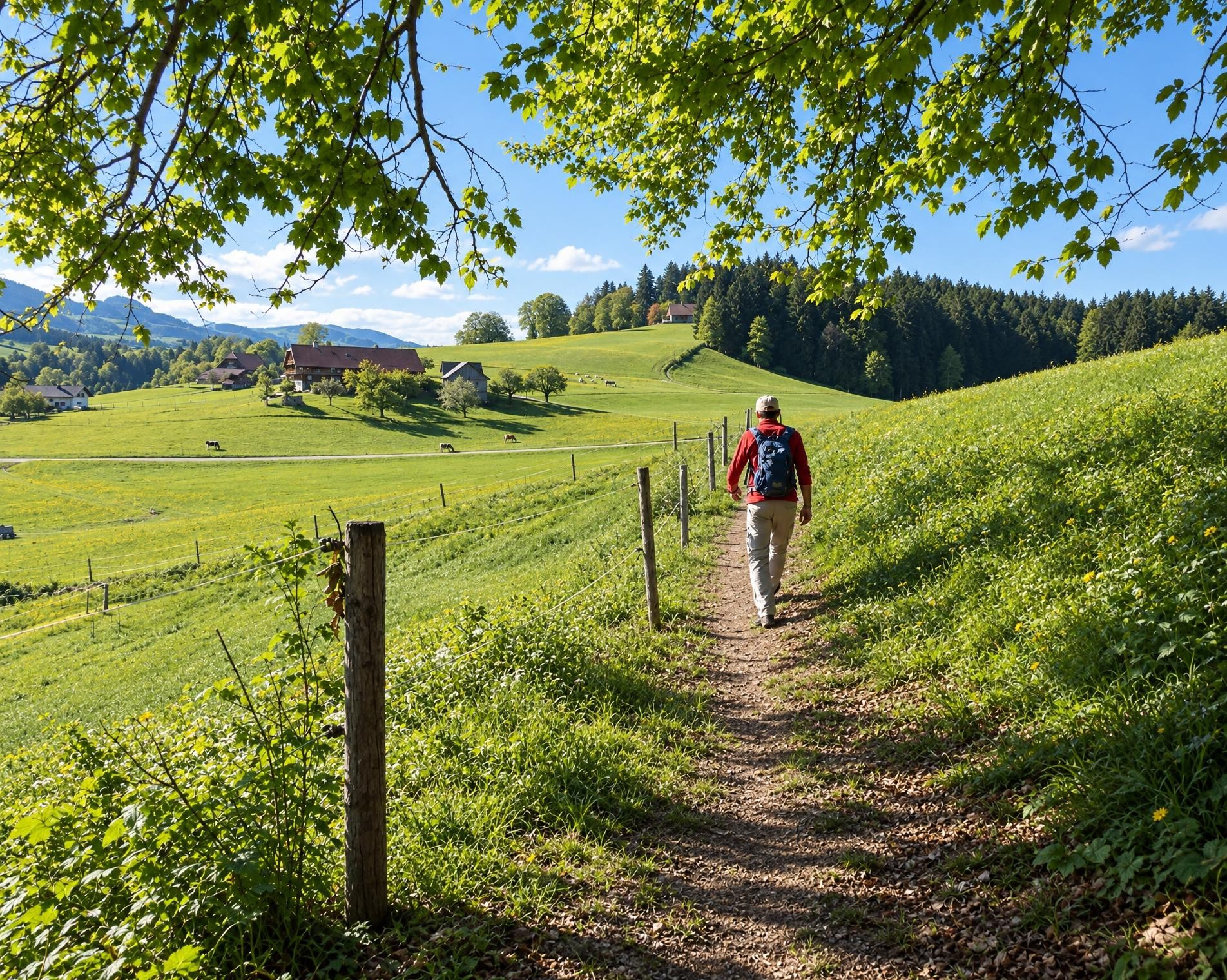
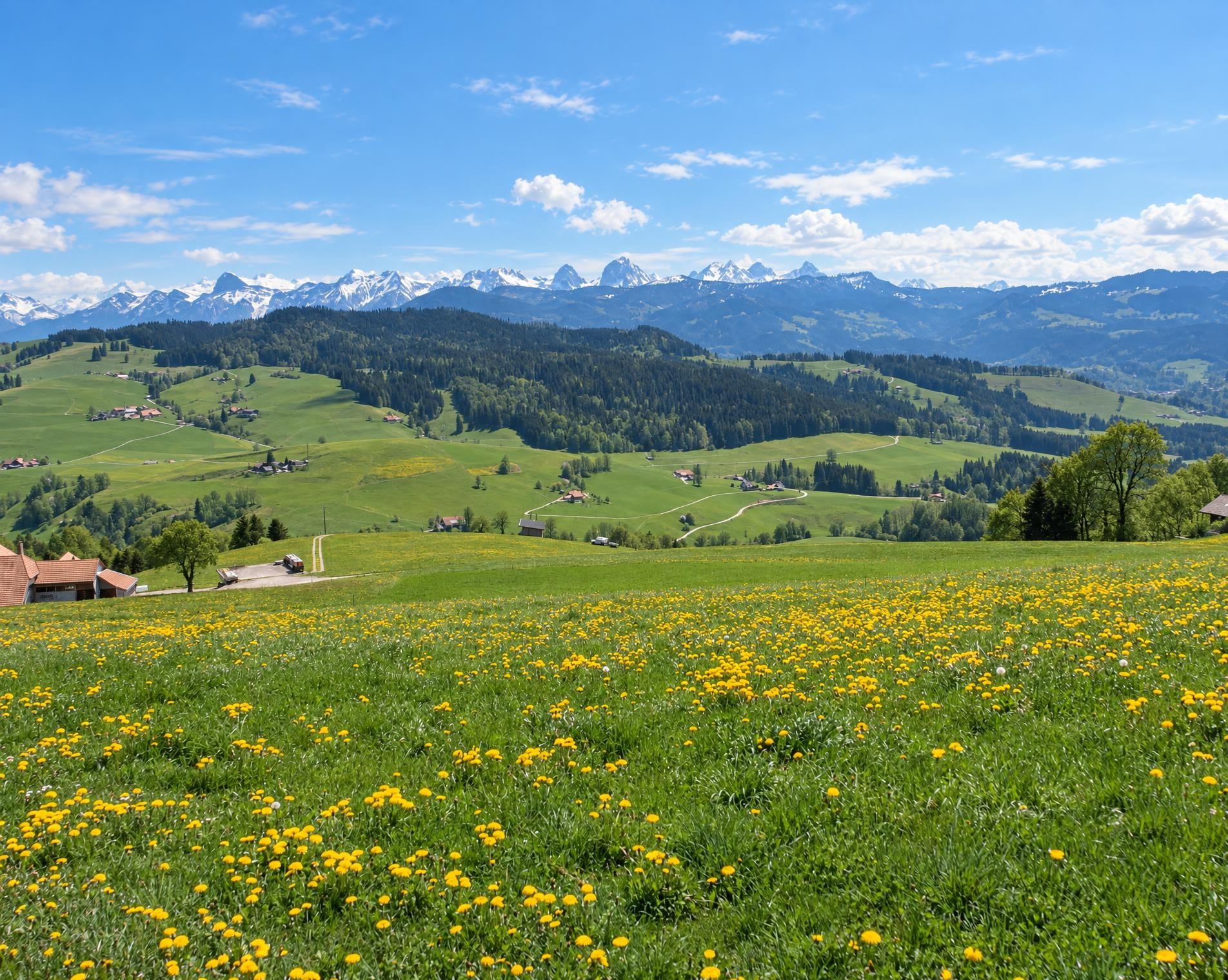
The extensive circular hike through the rolling countryside between Schwarzenburg and Albligen begins directly at Schwarzwasserbrücke railway station. The yellow-waymarked hiking trail initially climbs through alternating woodland and open meadows. After a good five kilometres, the route reaches its highest point at around 840 m; it then continues in gentle ups and downs to Wahlern and past its church.
The route continues across fields and through occasional stretches of woodland to Schwarzenburg, where the SchokoLadenCafé near the trail offers a possible stop along the way. Beyond the village, the surroundings become quieter and more wooded again. The ruins of Grasburg stand on a sandstone outcrop directly beside the route. They form a striking landmark before the trail continues via Harris to Albligen.
The long return to Schwarzwasserbrücke begins via Oberholz. Meadows, pastures and stretches of woodland alternate, while several counter-climbs demand further effort. After around 23 kilometres and a good seven and a half hours, the circuit ends back at the railway station.
02/ Along the route
What's along the way
Where the route climbs and where it descends. Hover the profile to find the spot on the map.
03/ Conditions
Current conditions
What to know before you set off. Closures and snow are re-checked every day.
Bulingen - Hängebrüggli
From 9 Dec 2025 – Until 30 Sept 2026
Der Abschnitt zwischen der Abzweigung in Burlingen und dem Hängebrüggli ist nicht begehbar. Durch umgestürzte Bäume wurden die Treppen zerstört und werden im Frühjahr 2026 neu gebaut. Die Gemeinde hat den Weg gesperrt. Eine Umleitung von Burlingen zum Hängebrüggli über Hangried ist ausgeschildert.
How we check: Every night we match the route against the official closures and detours from the Federal Roads Office (FEDRO). Any reported closure that touches the route shows up here.
How we check: We look up a live public transport connection from your starting point to the stop closest to the trailhead. If it ends further away, the nearest stop may be a cable car or bus that isn't running right now.
How we check: Snow depth estimated daily at the lowest and the highest point of the route. Estimates: check the situation on site.
04/ Getting there
Getting there
From your door to the trailhead and home again, by train and bus or by car. Computed live from the timetable.
Or from
Outbound
Return
05/ Weather
Weather on the way
Forecast for the lowest and the highest point of the route.
Weather
06/ Trail & landscape
Trail & landscape
Which paths you walk on and the landscape they lead through.
07/ Snow
Snow on the route
Snow depths, new snow and forecast. Estimates: check the situation on site before you set off.
Snow Info
Comparative snow depth is only available from November 1 to June 30.
08/ Export
Take the route with you
Load the track onto your GPS device, print a route sheet for the trail or send the route to your hiking group.
Share
Send the link to friends or your hiking group.
Export GPX File
For hiking apps, GPS watches and navigation devices.
Print Route Sheet
A4 with map, elevation profile, waypoints and emergency numbers.