Hike /Schweiz Mobil
Via Alpina
VaduzMontreux
- Distance
- 390.0 km
- Duration
- –
- Ascent
- 23500 m
- Descent
- 24800 m
- Difficulty
- Moderate
- Fitness
- Hard
- Route type
- One way
- Season
- May - October
01/ Overview
The route
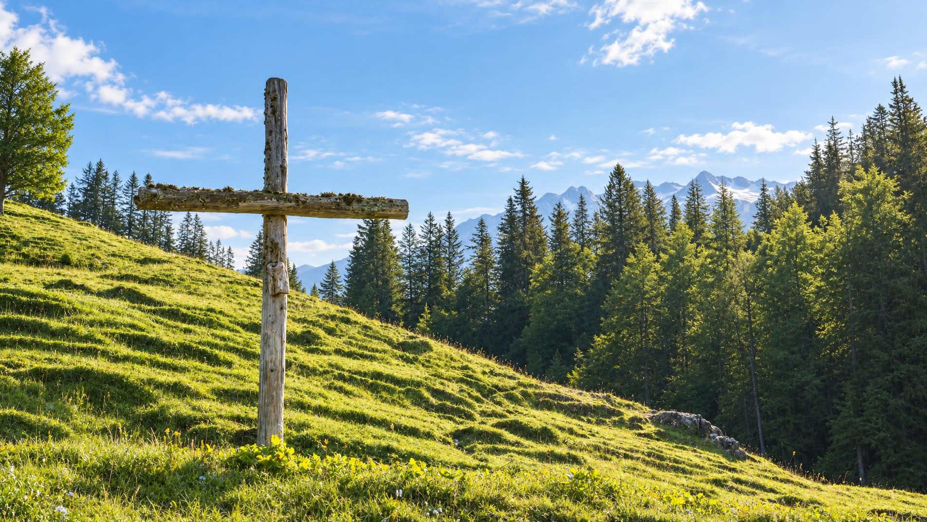
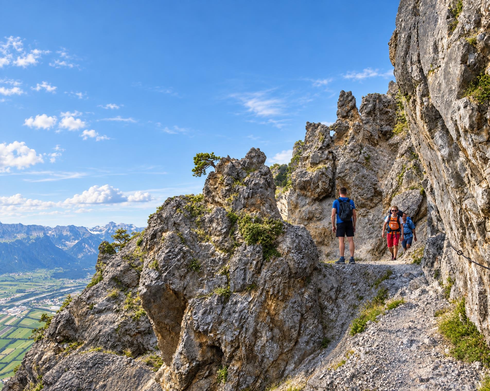
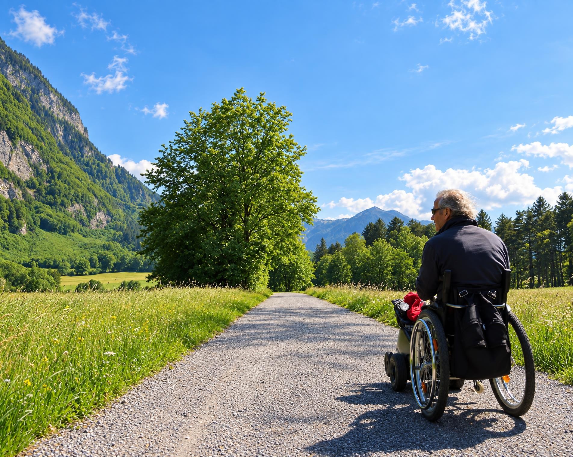
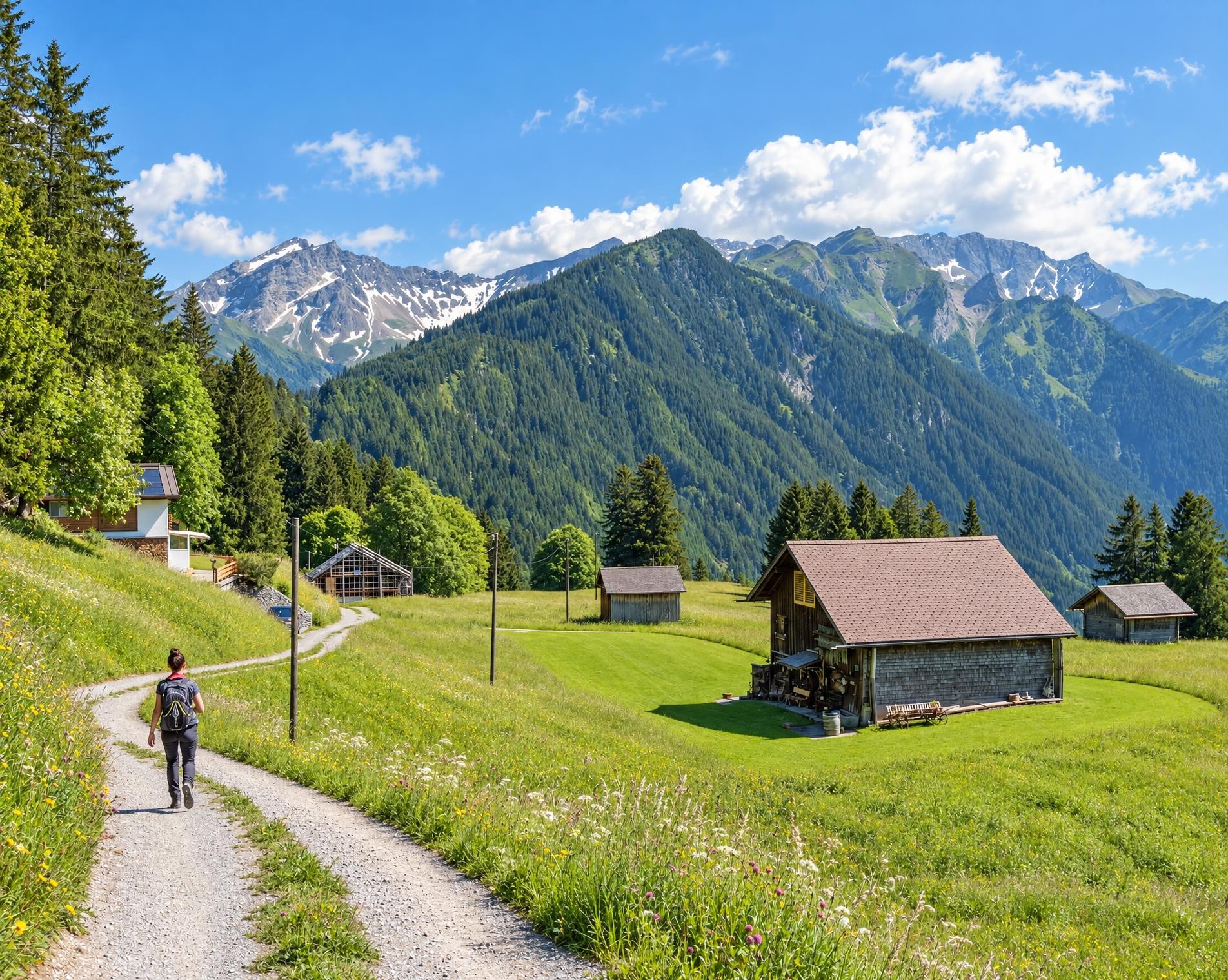
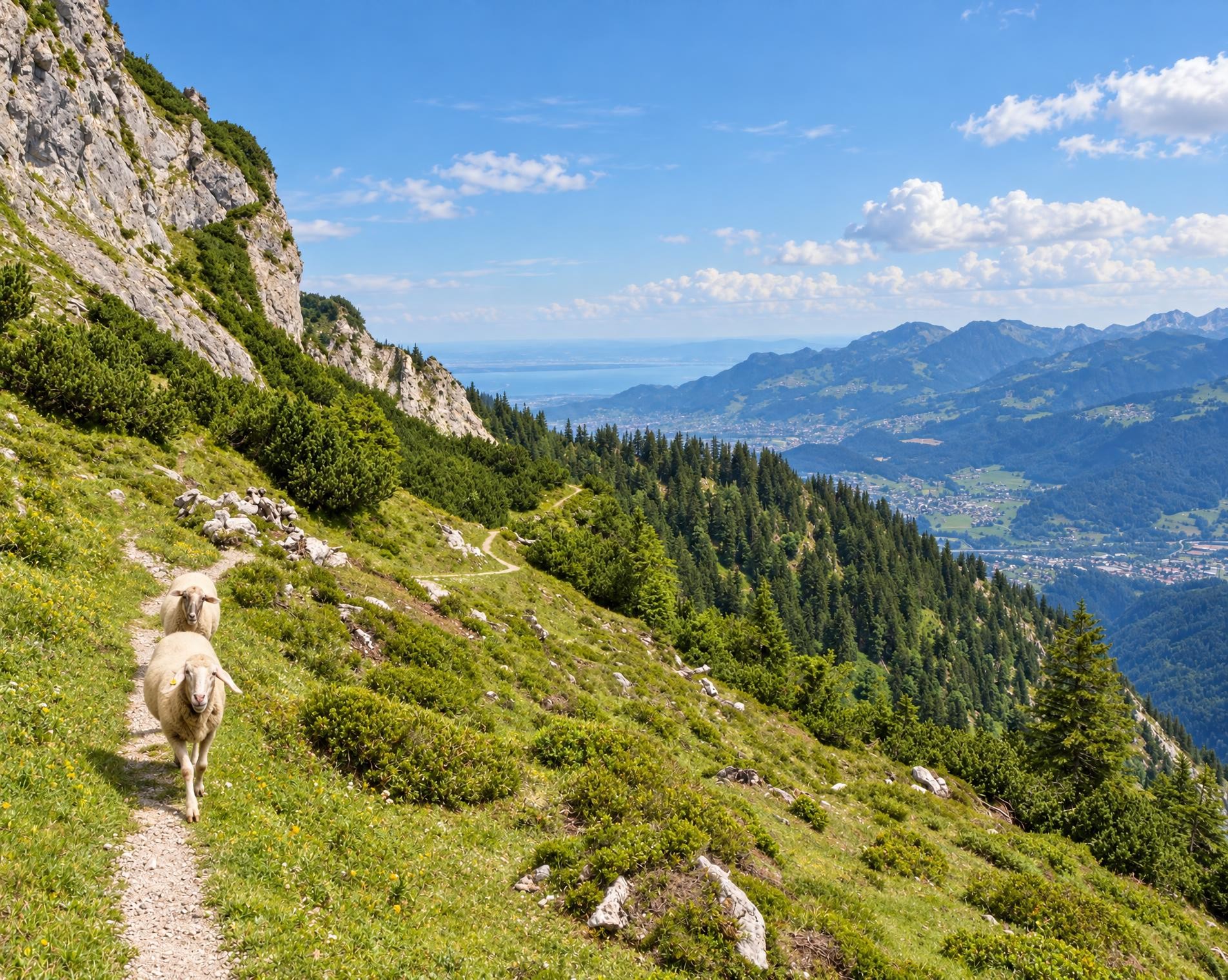
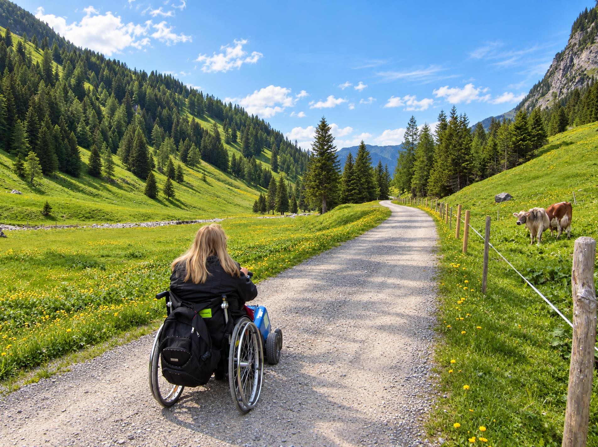
The Via Alpina crosses 14 of the most beautiful Alpine passes. Straight through seven Swiss cantons with a vast variety of culture, geology and topography. Wide roads end in high ridge trails. The route is lined with one of the world’s most diverse variety of flora and fauna.
This 390-kilometre Alpine crossing begins in Vaduz; the nearest public transport stop, in Sevelen, is just over four kilometres away. The route initially leads across open meadows and through forest to the Foopass, which connects Glarus and St. Gallen. Valley villages and striking passes then alternate: the route continues via Elm, the Richetlipass and the Klausenpass into the Urnerland. It is waymarked almost throughout and follows yellow-marked hiking trails about as often as white-red-white mountain trails.
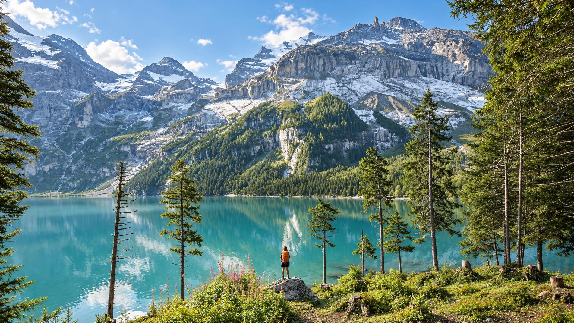
After the Surenenpass come Engelberg and Trüebsee, a mountain lake at 1'763 m. Later, Kleine Scheidegg and Lauterbrunnen take centre stage. From the rocky Sefinenfurgge, the route descends to Griesalp and reaches its highest point near the Schwarzhorn at around 2'800 m. Shortly afterwards, it crosses the Hohtürli. The steady succession of ascents and descents continues via Kandersteg, Adelboden, Lenk and Gstaad. From Château-d’Oex, the final mountain section leads via Caux and Glion down to Montreux, where the hike ends near the Escaliers de la Gare stop.
02/ Along the route
What's along the way
Where the route climbs and where it descends. Hover the profile to find the spot on the map.
03/ Conditions
Current conditions
What to know before you set off. Closures and snow are re-checked every day.
Oeschinensee - Fründenhütte
From 15 Jul 2020 – Until 1 Nov 2026
Die Fründenhütte SAC ist momentan nur über die Fründenschnur (Alpinwanderweg T4) erreichbar. Schwindelfreiheit und Trittsicherheit erforderlich. Ohne entsprechende Kenntnisse wird von einer Begehung abgeraten!
Kandersteg
From 8 May 2023 – Until 30 Nov 2026
Infolge Sperrgebiet Spitze Stei wird der Wanderweg bis auf Weiteres über den Adolf Ogi Weg umgeleitet.
Hasliberg Gummen
From 1 May 2026 – Until 31 Dec 2026
Elm: Ämpächli - Ober Ämpächli
From 4 May 2026 – Until 1 Nov 2026
Infolge Bau- & Unterhaltsarbeiten ist die Strecke zwischen Bergrestaurant Älpli und Ober Ämpächli gesperrt. Bitte benützen sie die markierte Umleitung. Kontakt: 058 611 97 11, Gemeinde Glarus Süd, Wald und Landwirtschaft
Trübbach Via Alpina / Alte Schollbergstrasse
From 26 May 2026 – Until 27 Nov 2026
Holz- und Steinschlag im Bereich Alte Schollbergstrasse. Der Weg bleibt gesperrt, bis die Situation beurteilt und das Gelände geräumt ist.
Adelboden: Rehärti - Ribenstalden
From 10 Sept 2026 – Until 25 Sept 2026
Grosse Scheidegg - Schwarzwaldalp
From 14 Sept 2026 – Until 9 Oct 2026
How we check: Every night we match the route against the official closures and detours from the Federal Roads Office (FEDRO). Any reported closure that touches the route shows up here.
How we check: We look up a live public transport connection from your starting point to the stop closest to the trailhead. If it ends further away, the nearest stop may be a cable car or bus that isn't running right now.
There may be snow on this hiking trail. Bring appropriate gear and plan accordingly.
How we check: Snow depth estimated daily at the lowest and the highest point of the route. Estimates: check the situation on site.
04/ Getting there
Getting there
From your door to the trailhead and home again, by train and bus or by car. Computed live from the timetable.
Or from
Outbound
Return
05/ Weather
Weather on the way
Forecast for the lowest and the highest point of the route.
Weather
06/ Trail & landscape
Trail & landscape
Which paths you walk on and the landscape they lead through.
07/ Snow
Snow on the route
Snow depths, new snow and forecast. Estimates: check the situation on site before you set off.
Snow Info
Comparative snow depth is only available from November 1 to June 30.
08/ Export
Take the route with you
Load the track onto your GPS device, print a route sheet for the trail or send the route to your hiking group.
Share
Send the link to friends or your hiking group.
Export GPX File
For hiking apps, GPS watches and navigation devices.
Print Route Sheet
A4 with map, elevation profile, waypoints and emergency numbers.