Hike /Schweiz Mobil
ViaBerna
BellelaySustenpass
- Distance
- 305.0 km
- Duration
- –
- Ascent
- 13700 m
- Descent
- 12400 m
- Difficulty
- Moderate
- Fitness
- Hard
- Route type
- One way
01/ Overview
The route
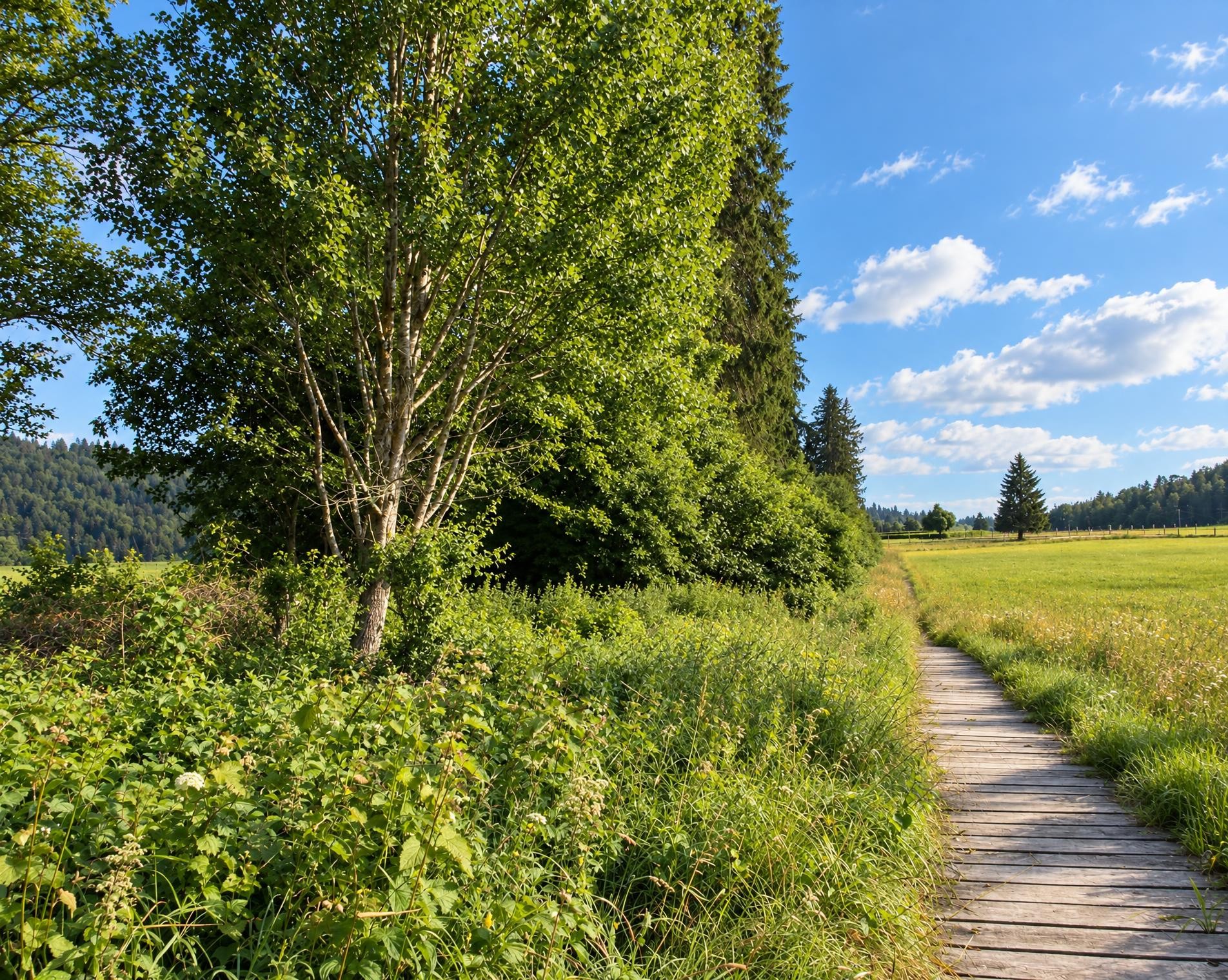
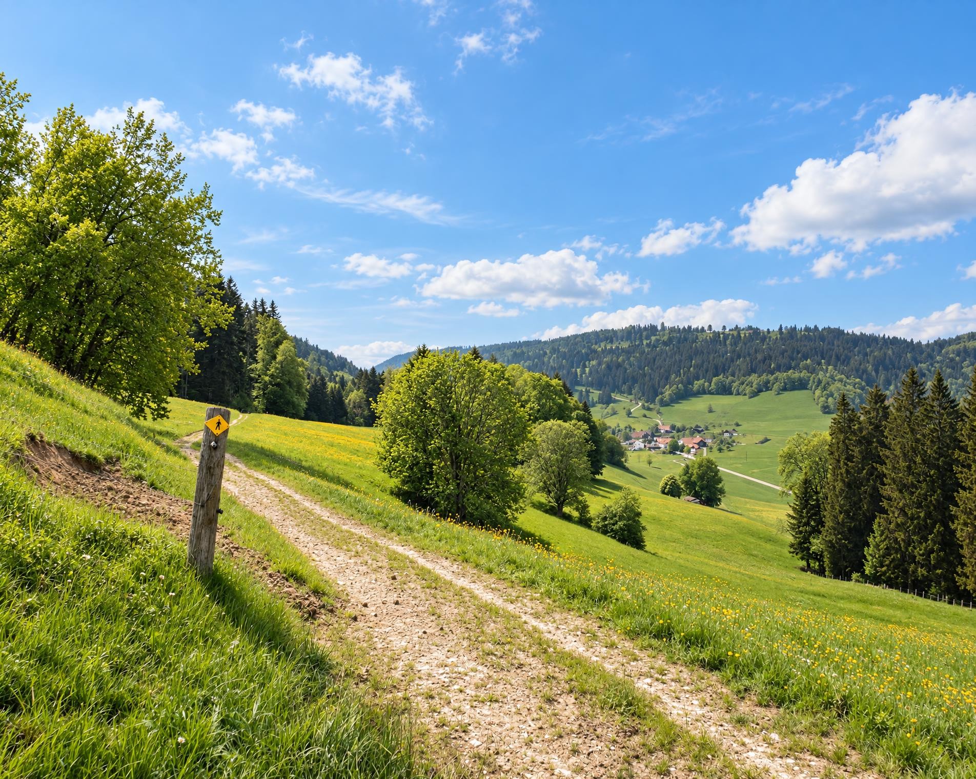
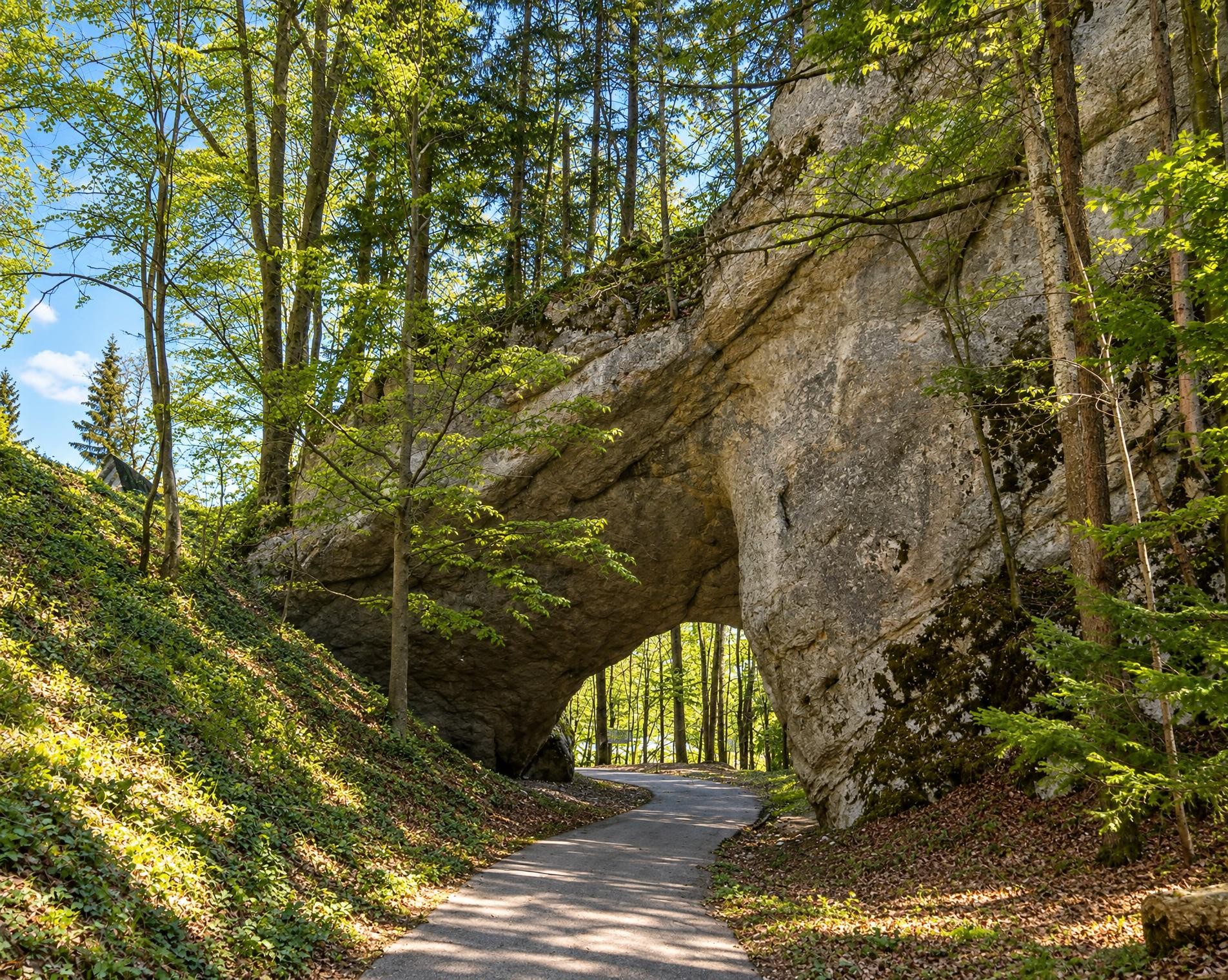
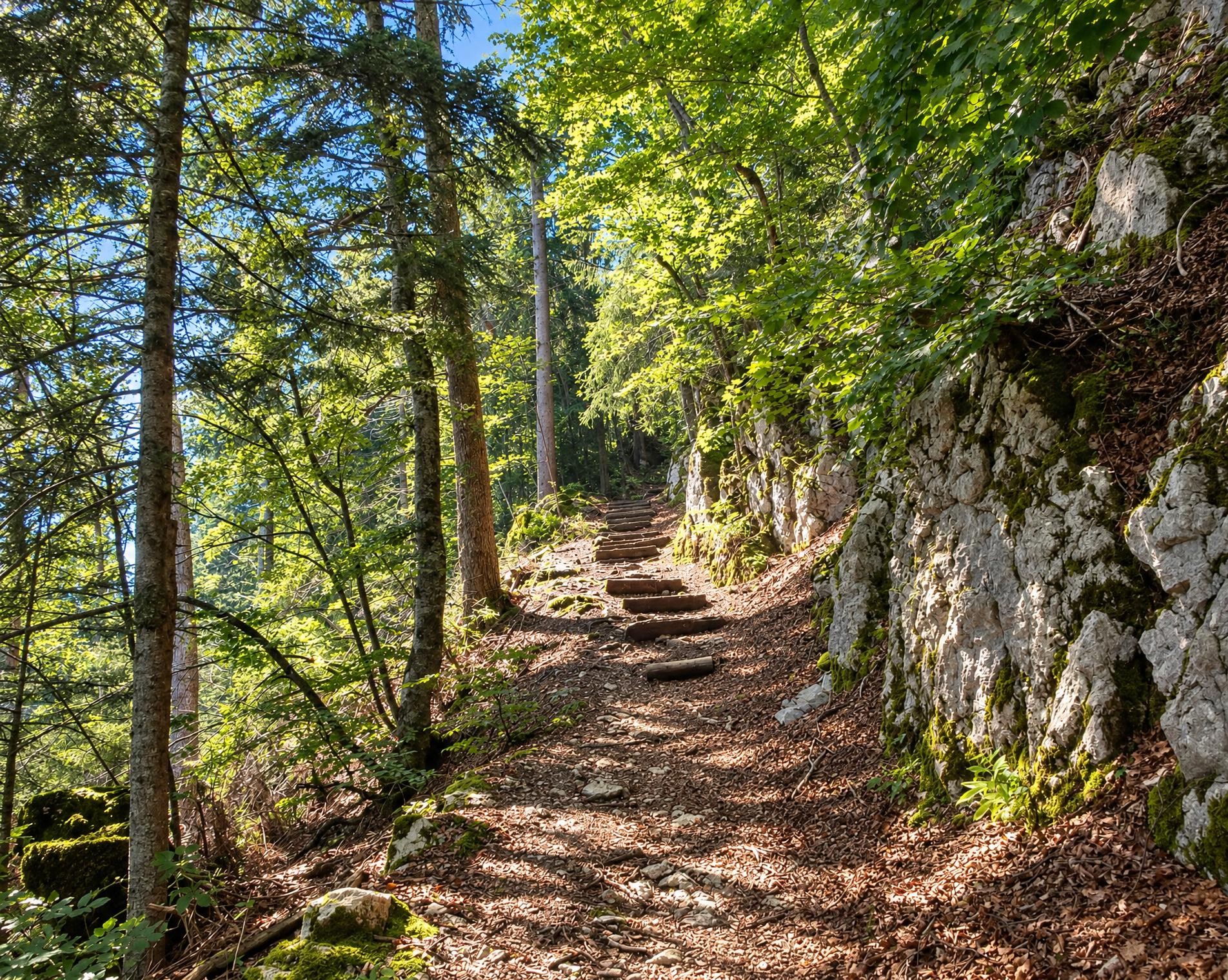
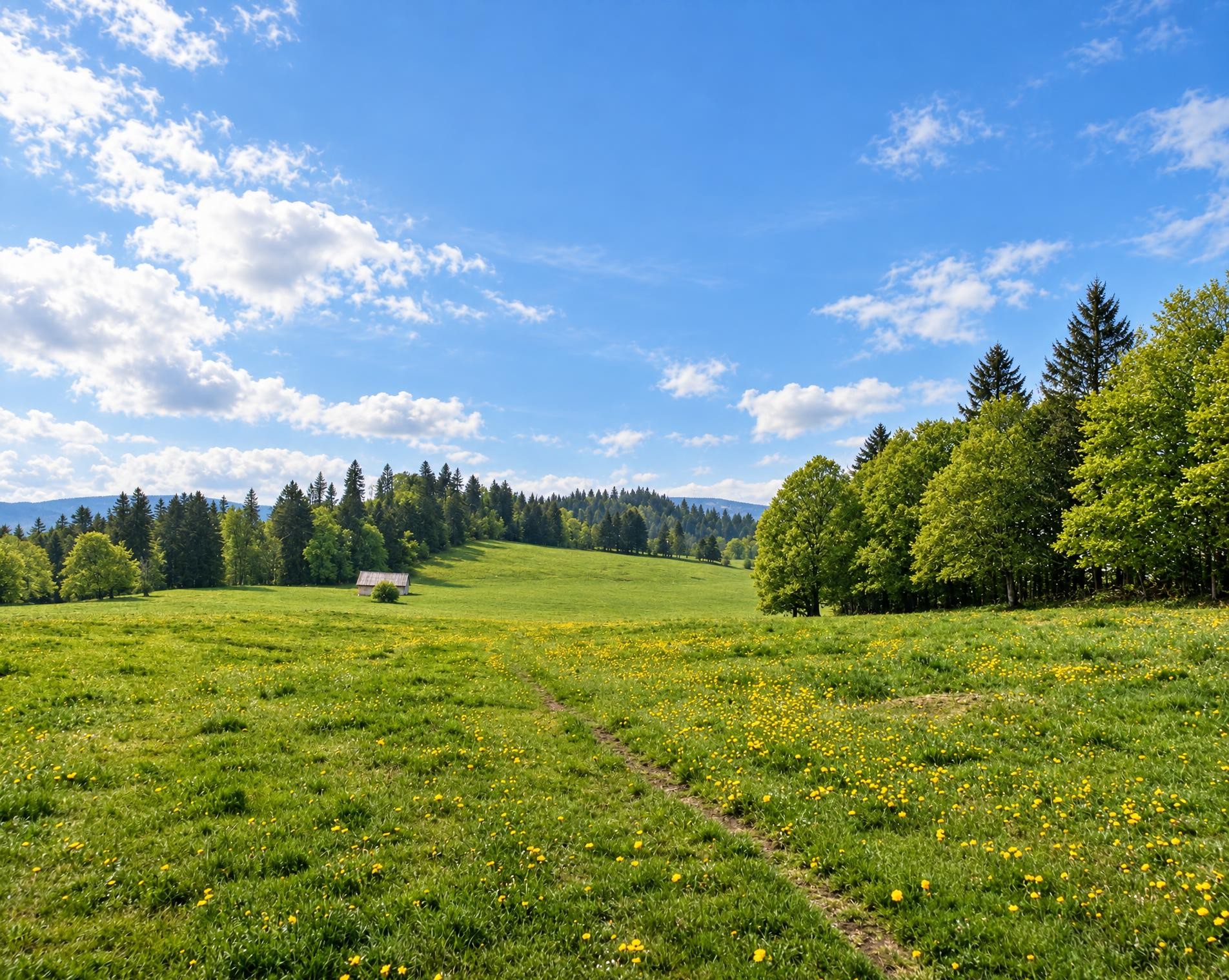
The Via Berna presents a cross-section of the diverse canton of Bern. From the gentle hills on the edge of the Franches-Montagnes, it crosses the highest Jura fold. Along the Aare to Lake Thun, across several Alpine passes and on mountain trails with incredible views, you can reach Susten Pass in 20 stages.
A long-distance hike of around 305 kilometres begins at the Bellelay, Le Domaine bus stop. The trail leads across open Jura heights and through stretches of woodland to Mont Sujet, descends to Lake Biel and continues through the Mittelland. The Alte Aare, Niederried reservoir and Wohlensee provide tranquil interludes before the route reaches the Bremgartenwald and Bern.
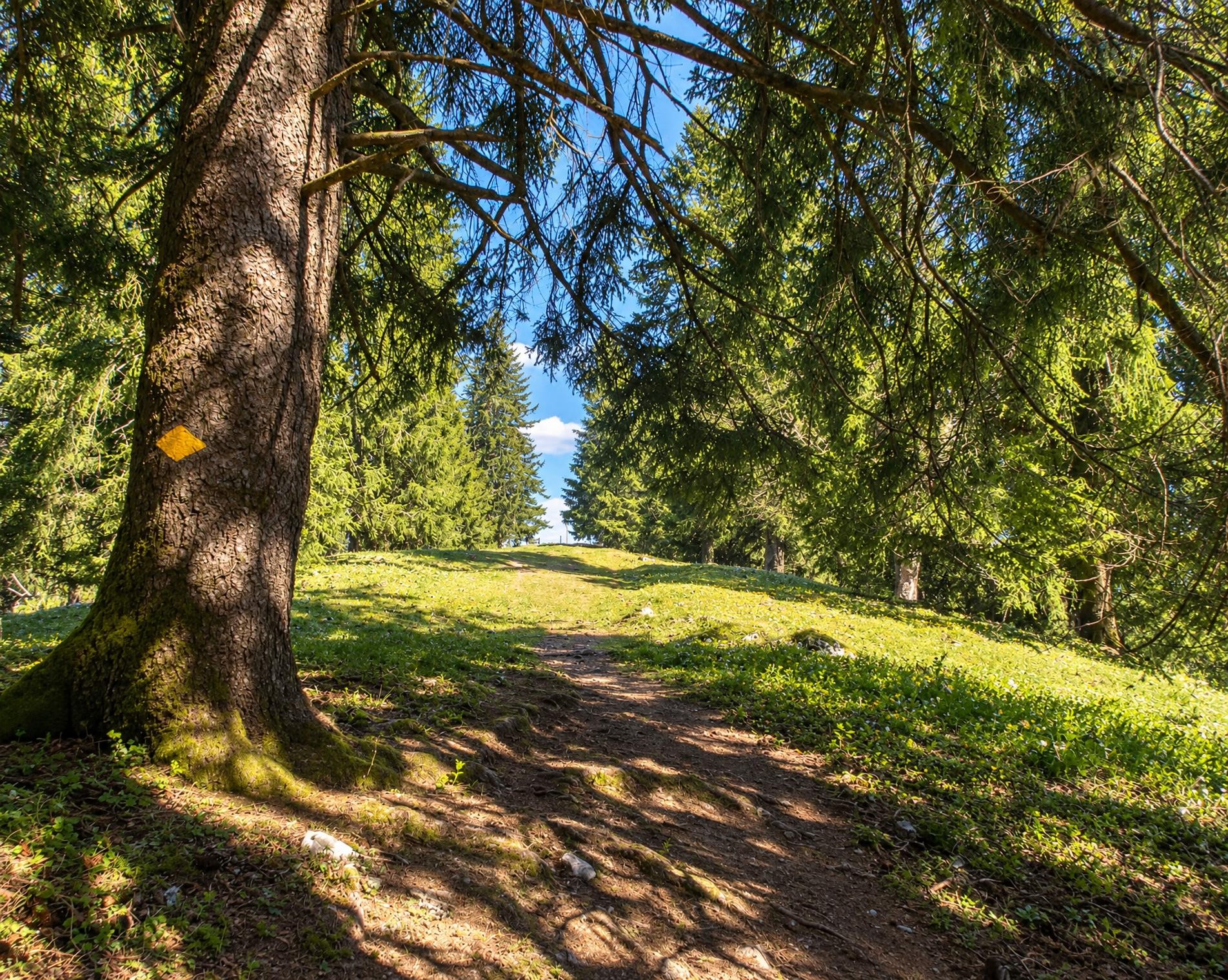
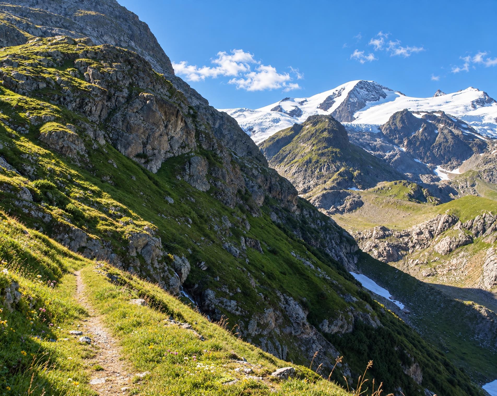
From there, the Aare remains a companion for long stretches. Passing through Thun, the hike leads directly to the shore of Lake Thun and on to Spiez. Beyond Aeschi, the character changes markedly: the mountainous section of the route begins at the Rengglipass, at just under 1'900 m. Narrower mountain trails wind through open pastures and rocky terrain, passing the Suls-Lobhornhütte.
The highlight follows in the Bernese Oberland. Near the Faulhorn, the route reaches its highest point at around 2'600 m, with the Bachalpsee lying directly beside the trail a little farther on. Beyond the Grosse Scheidegg, mountain trails, meadows and woodland continue to alternate. From Gadmen, the trail climbs to the Sustenpass, where the Susten Passhöhe bus stop lies close to the destination.
02/ Along the route
What's along the way
Where the route climbs and where it descends. Hover the profile to find the spot on the map.
03/ Conditions
Current conditions
What to know before you set off. Closures and snow are re-checked every day.
WKW Brügg
From 10 Feb 2025 – Until 27 Nov 2026
Spiez - Thun Einigen Chanderbrügg
From 8 Oct 2025 – Until 31 Mar 2027
Die Brücke über die Kander ist nicht begehbar.
Suldtal
From 1 Jan 2026 – Until 30 Nov 2026
Infolge Unwetterschäden ist der Wanderweg nicht begehbar.
Bern - Seftausteg
From 23 Mar 2026 – Until 9 Oct 2026
Sanierung Seftausteg
Biel - Oberer Quai
From 7 Apr 2026 – Until 30 Oct 2026
Hasliberg Gummen
From 1 May 2026 – Until 31 Dec 2026
Orvin: La Bragard-Le Jorat
From 7 Sept 2026 – Until 15 Oct 2026
Infolge umgestürzter Bäume ist der Wanderweg aktuell nicht begehbar.
Grosse Scheidegg - Schwarzwaldalp
From 14 Sept 2026 – Until 9 Oct 2026
How we check: Every night we match the route against the official closures and detours from the Federal Roads Office (FEDRO). Any reported closure that touches the route shows up here.
How we check: We look up a live public transport connection from your starting point to the stop closest to the trailhead. If it ends further away, the nearest stop may be a cable car or bus that isn't running right now.
How we check: Snow depth estimated daily at the lowest and the highest point of the route. Estimates: check the situation on site.
04/ Getting there
Getting there
From your door to the trailhead and home again, by train and bus or by car. Computed live from the timetable.
Or from
Outbound
Return
05/ Weather
Weather on the way
Forecast for the lowest and the highest point of the route.
Weather
06/ Trail & landscape
Trail & landscape
Which paths you walk on and the landscape they lead through.
07/ Snow
Snow on the route
Snow depths, new snow and forecast. Estimates: check the situation on site before you set off.
Snow Info
Comparative snow depth is only available from November 1 to June 30.
08/ Export
Take the route with you
Load the track onto your GPS device, print a route sheet for the trail or send the route to your hiking group.
Share
Send the link to friends or your hiking group.
Export GPX File
For hiking apps, GPS watches and navigation devices.
Print Route Sheet
A4 with map, elevation profile, waypoints and emergency numbers.