Hike /Schweiz Mobil
ViaSett
ChurChiavenna (I)
- Distance
- 110.0 km
- Duration
- –
- Ascent
- 4500 m
- Descent
- 4800 m
- Difficulty
- Moderate
- Fitness
- Hard
- Route type
- One way
01/ Overview
The route
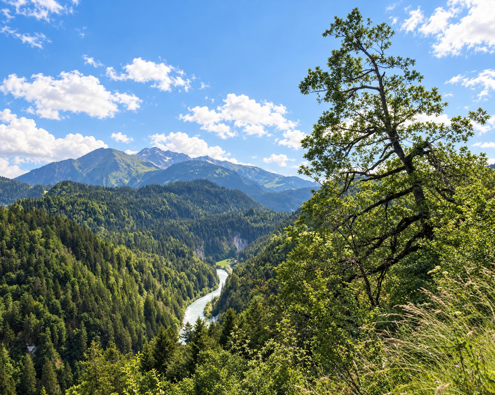
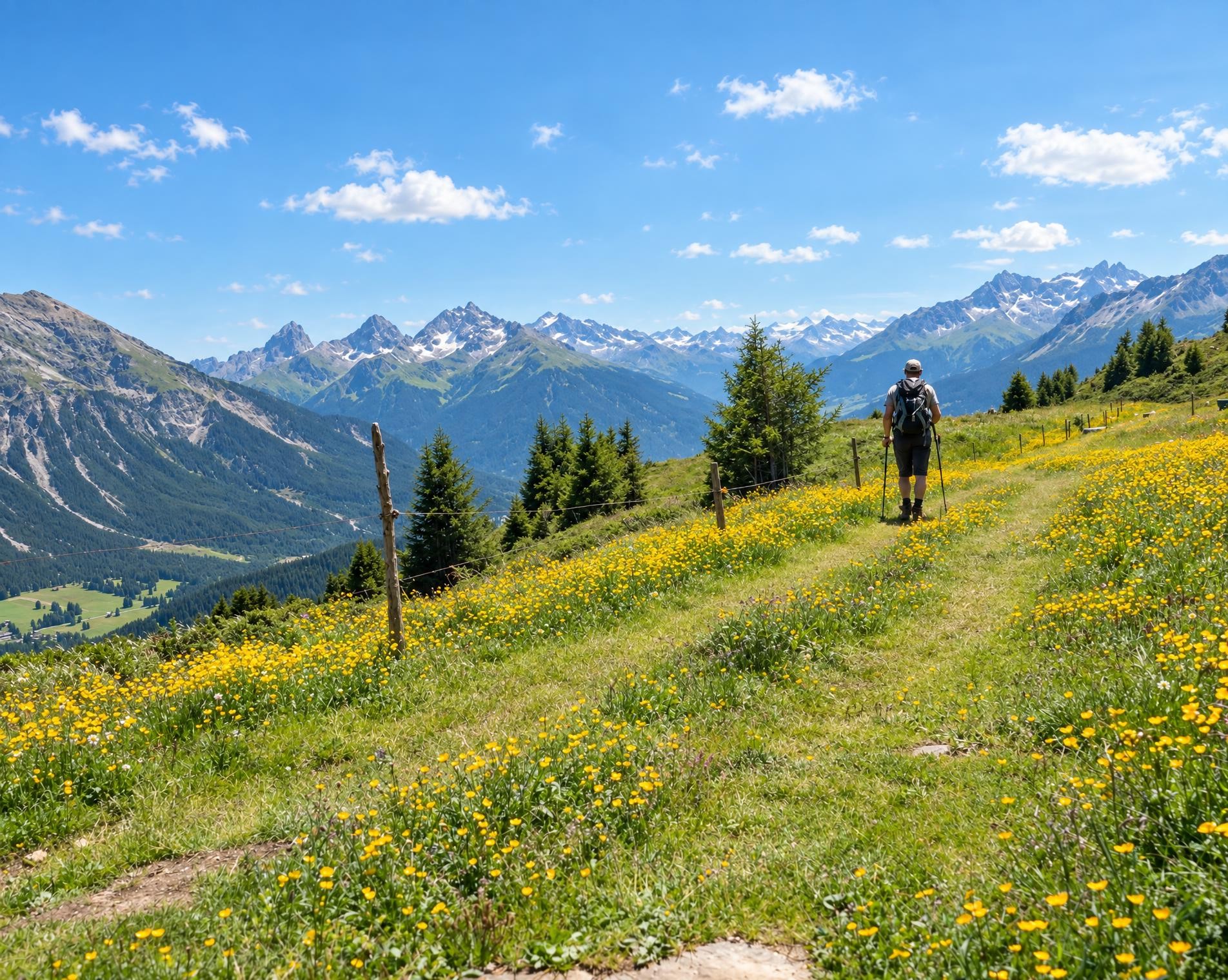
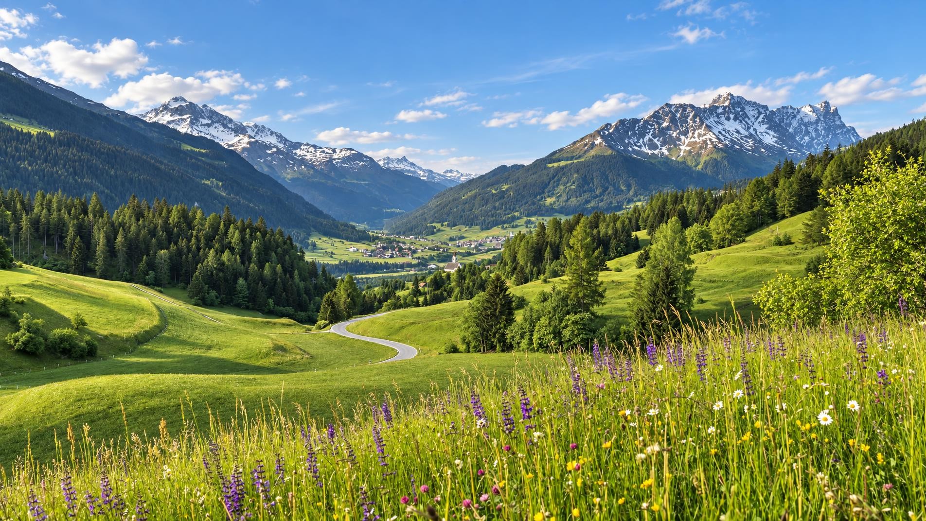
Cross the Septimer on foot, from one Alpine town to another: the route runs from Chur through the Churwalden Valley, Lenzerheide, Surses in Parc Ela and Bregaglia to Chiavenna (Italy). Explore three linguistic and cultural regions and a diverse cultural landscape – from pastures to chestnut groves.
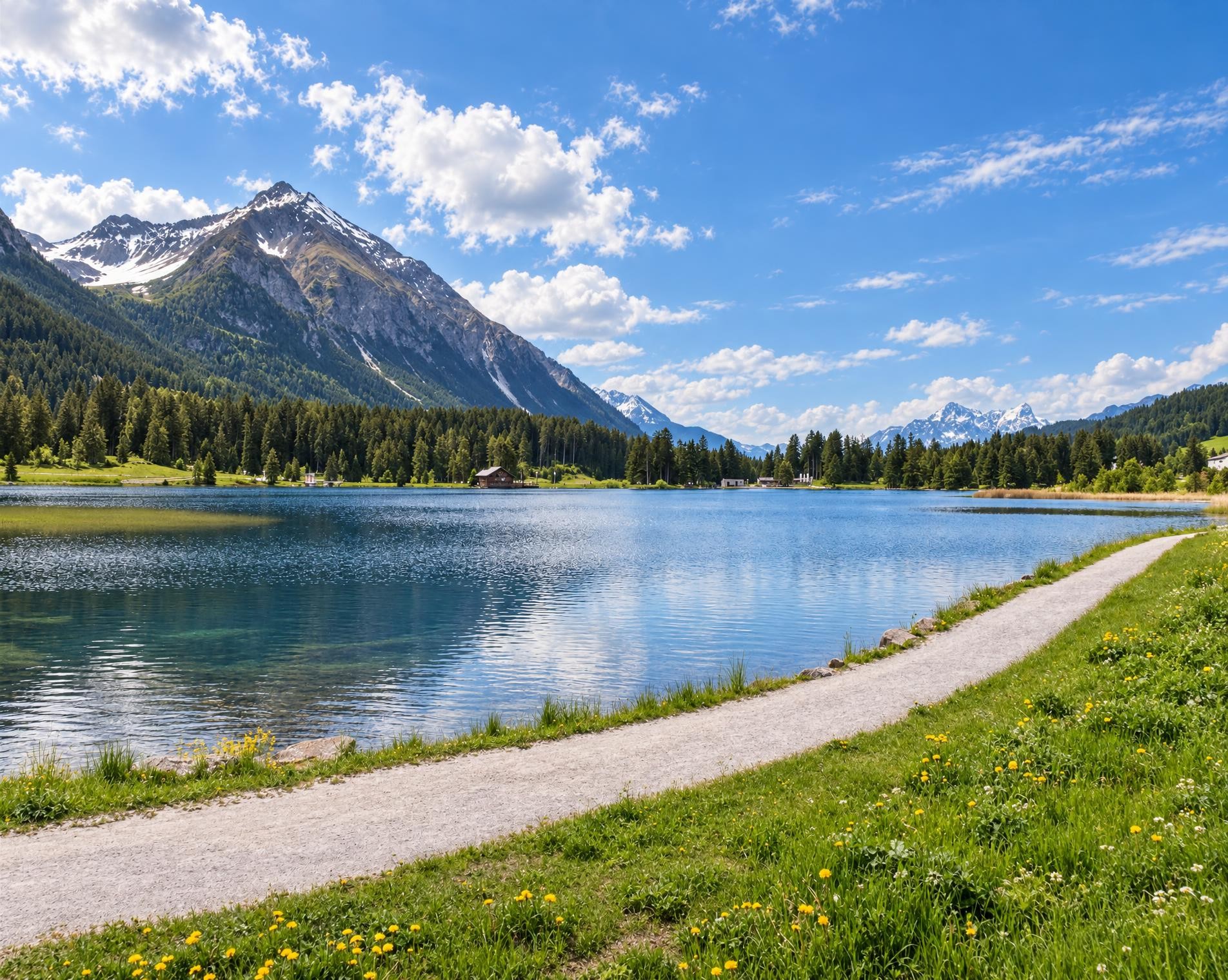
From the station square in Chur, the route climbs through the first wooded slopes to Passugg and Malix, passing close to the ruins of Strassberg Castle. It continues via Churwalden and Parpan to Heidsee. The trail skirts the lakeshore between Valbella and Lenzerheide, then alternates between woodland, meadows and the villages of Mittelbünden.
Near Alvaschein, St. Peter Mistail stands directly on the route, Switzerland’s only unaltered three-apse church. After Tiefencastel, the hike continues via Mon, Salouf and Riom to Savognin. From there, a long and often narrower mountain trail leads up the valley to Bivio; open pastures replace the more densely settled sections of the valley.
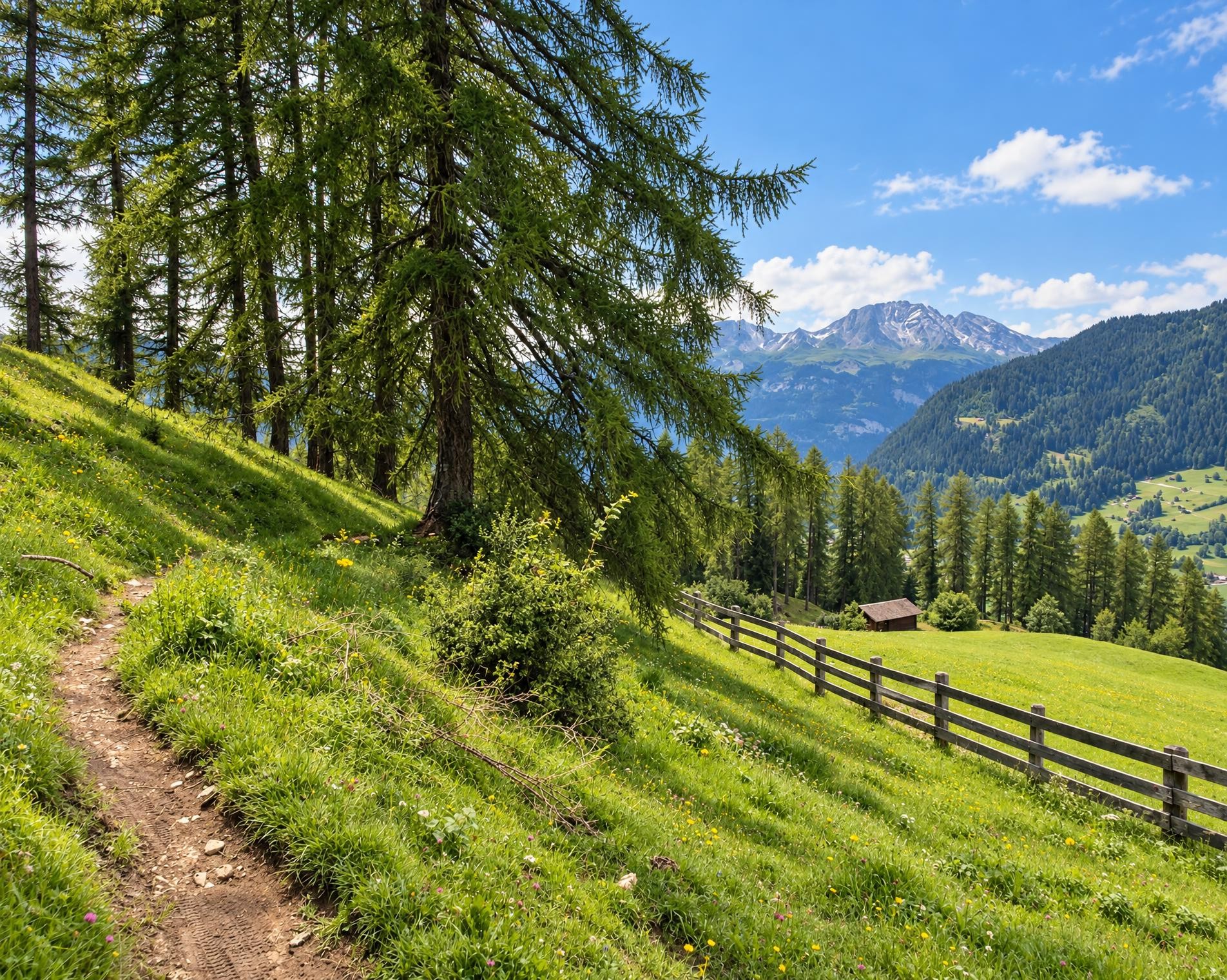
The decisive ascent leads to Pass da Sett. At around 2,310 m, the Septimer Pass links the Oberhalbstein with the Bergell; the highest point of the tour also lies in the pass area. South of the pass, the trail descends via Casaccia into the Bergell. It continues through Vicosoprano and Stampa, past Palazzo Castelmur, and on to Bondo and Castasegna. Beyond the border, the long valley trail continues to Chiavenna.
02/ Along the route
What's along the way
Where the route climbs and where it descends. Hover the profile to find the spot on the map.
03/ Conditions
Current conditions
What to know before you set off. Closures and snow are re-checked every day.
Tinizong – Pensa – Alp d’Err I
From 10 Aug 2026 – Until 31 Dec 2026
Wegen Strassensanierungsarbeiten zwischen Tinizong und Proschen Davains bleibt der Wanderwege bis Ende 2026 gesperrt.
How we check: Every night we match the route against the official closures and detours from the Federal Roads Office (FEDRO). Any reported closure that touches the route shows up here.
How we check: We look up a live public transport connection from your starting point to the stop closest to the trailhead. If it ends further away, the nearest stop may be a cable car or bus that isn't running right now.
How we check: Snow depth estimated daily at the lowest and the highest point of the route. Estimates: check the situation on site.
04/ Getting there
Getting there
From your door to the trailhead and home again, by train and bus or by car. Computed live from the timetable.
Or from
Outbound
Return
05/ Weather
Weather on the way
Forecast for the lowest and the highest point of the route.
Weather
06/ Trail & landscape
Trail & landscape
Which paths you walk on and the landscape they lead through.
07/ Snow
Snow on the route
Snow depths, new snow and forecast. Estimates: check the situation on site before you set off.
Snow Info
Comparative snow depth is only available from November 1 to June 30.
08/ Export
Take the route with you
Load the track onto your GPS device, print a route sheet for the trail or send the route to your hiking group.
Share
Send the link to friends or your hiking group.
Export GPX File
For hiking apps, GPS watches and navigation devices.
Print Route Sheet
A4 with map, elevation profile, waypoints and emergency numbers.