Hike /Schweiz Mobil
Zürichsee-Rundweg
Zürich, Bürkliplatz
- Distance
- 130.0 km
- Duration
- –
- Ascent
- 2900 m
- Descent
- 2900 m
- Difficulty
- Easy
- Fitness
- Moderate
- Route type
- Loop
- Season
- All year
01/ Overview
The route
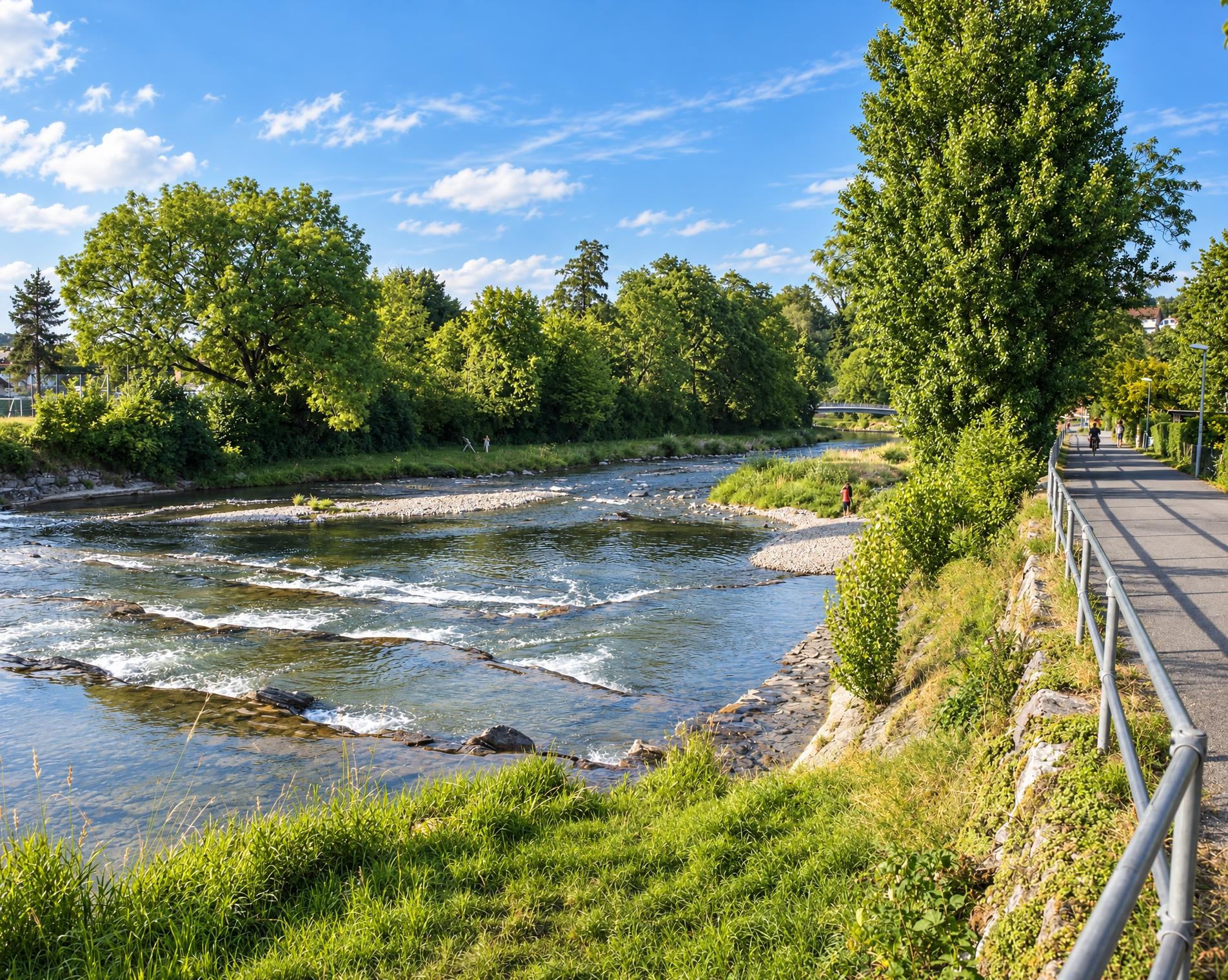
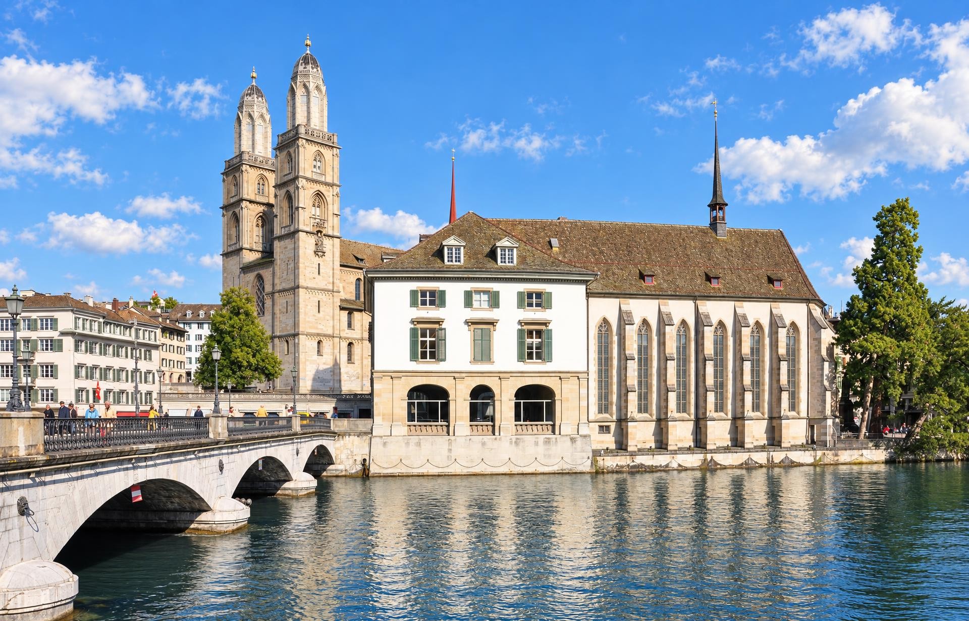
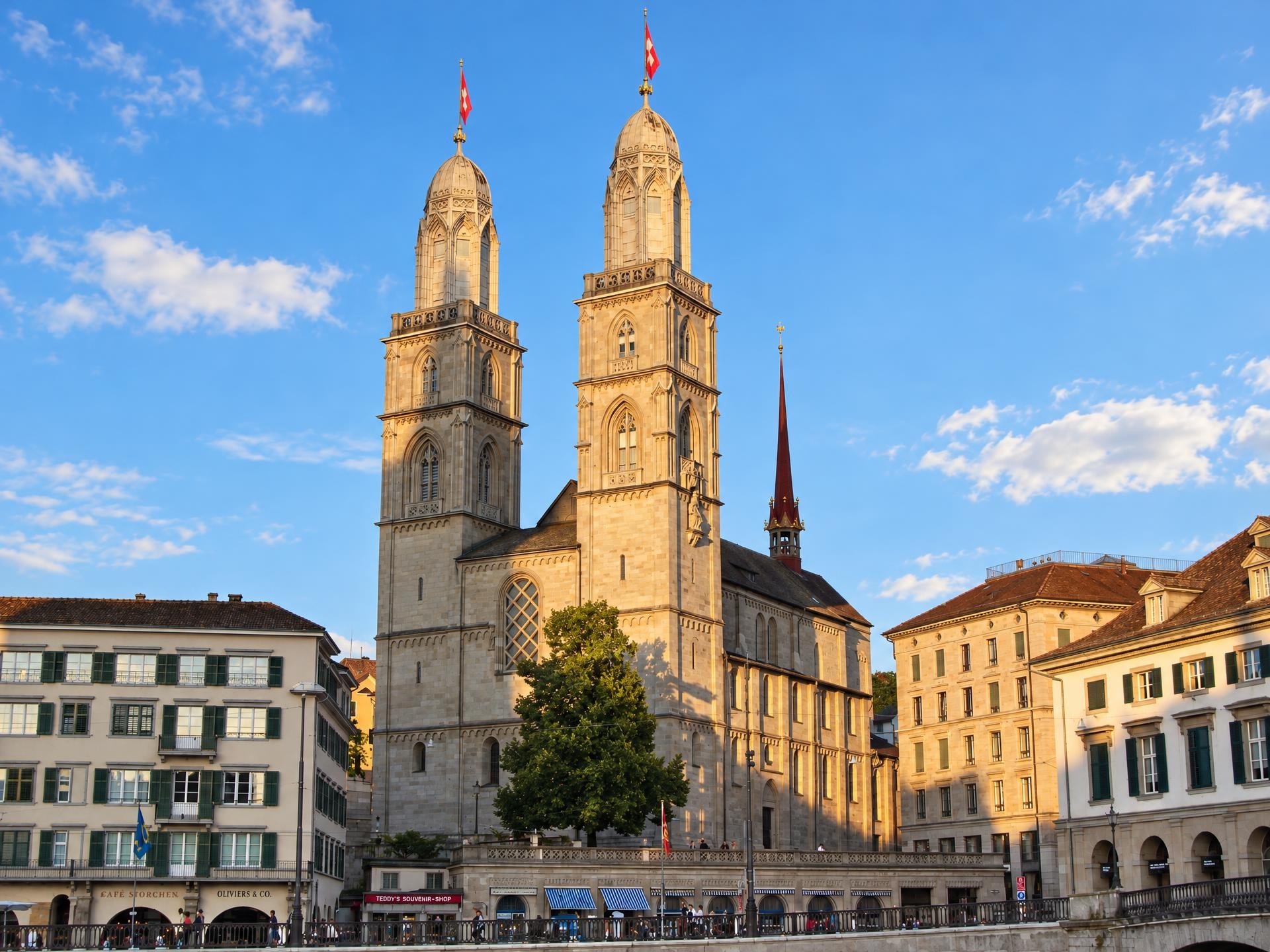
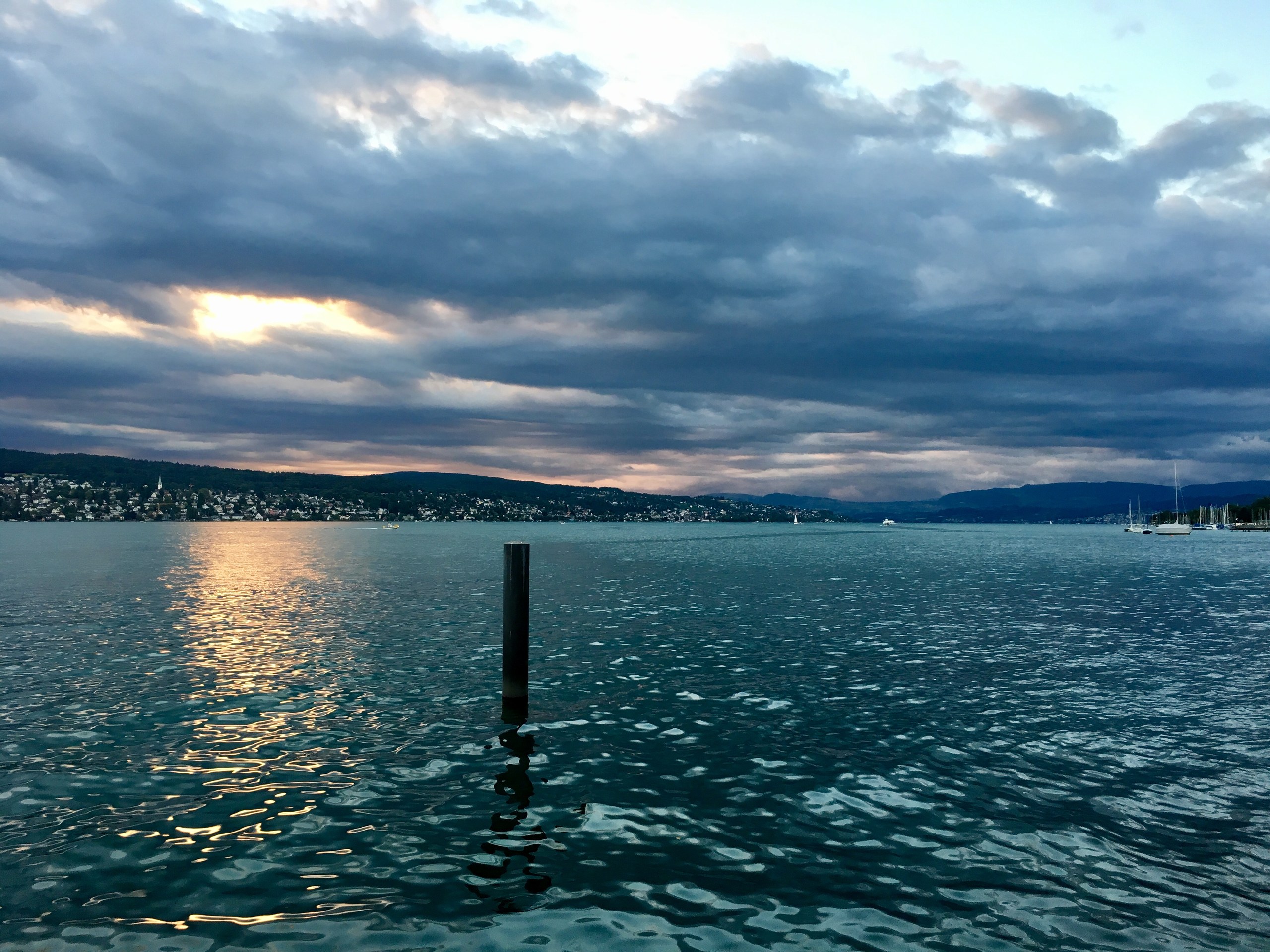
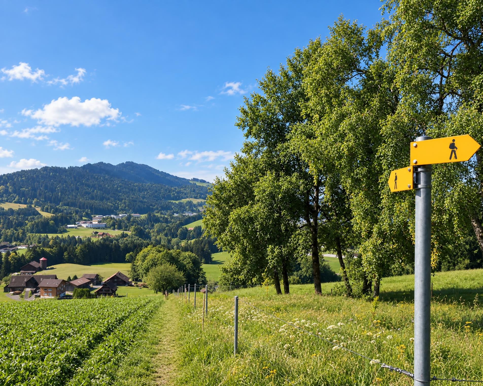
The landscape surrounding Lake Zurich is not only one of the world’s most prestigious areas to dwell, but in addition a greatly contrasting hikers’ paradise that cradles a multitude of pleasant surprises: historical towns and villages, unspoilt shorelines, woods, bubbling streams and a variety of restaurants.
The grand circuit begins at the Zürich Bürkliplatz (See) stop and reaches the shore of Lake Zurich almost immediately. The trail then leads via Adliswil and Horgen to the Au peninsula, where Schloss Au and the small Ausee lie directly on the route. Beyond Richterswil, the long ascent via Schindellegi begins. Near Hirzenstein, the route reaches its highest point at around 1,100 m. Shortly afterwards, the trail passes the wooded Etzel and continues to Etzelpass at 950 m.
The descent reaches Pfäffikon, after which the route follows the open landscape along the Obersee via Lachen and Schmerikon to Rapperswil. There, the castle stands on a rocky spur above the old town. On the northern side of Lake Zurich, meadows, stretches of woodland and settlements alternate. Near Meilen, the route passes the ruins of Burg Friedberg and later the protected Rumensee. It returns to Bürkliplatz through Riesbach. A good 36 hours of hiking should be allowed for the approximately 130 kilometres and 2,900 metres of ascent.
02/ Along the route
What's along the way
Where the route climbs and where it descends. Hover the profile to find the spot on the map.
03/ Conditions
Current conditions
What to know before you set off. Closures and snow are re-checked every day.
Langnau am Albis / Sihluferweg
From 1 Oct 2025 – Until 26 Feb 2027
Der Wanderweg ist infolge Sihl-Renaturierungsarbeiten gesperrt. Es ist eine Umleitung signalisiert.
Meilen / Zwetschgenweg-Hohenegg
From 2 Nov 2026 – Until 4 Dec 2026
Der Wanderweg ist infolge Bauarbeiten gesperrt. Es ist eine Umleitung signalisiert.
How we check: Every night we match the route against the official closures and detours from the Federal Roads Office (FEDRO). Any reported closure that touches the route shows up here.
How we check: SLF only publishes its snow maps from November 1. Until then we roughly estimate the snow depth at the lowest and the highest point of the route every day from the nearest SLF measuring stations. Check the situation on site.
04/ Getting there
Getting there
From your door to the trailhead and home again, by train and bus or by car. Computed live from the timetable.
Or from
Outbound
Return
05/ Weather
Weather on the way
Forecast for the lowest and the highest point of the route.
Weather
06/ Trail & landscape
Trail & landscape
Which paths you walk on and the landscape they lead through.
Larches count as conifer forest here.
07/ Snow
Snow on the route
Snow depths, new snow and forecast. Estimates: check the situation on site before you set off.
Snow Info
08/ Export
Take the route with you
Load the track onto your GPS device, print a route sheet for the trail or send the route to your hiking group.
Share
Send the link to friends or your hiking group.
Export GPX File
For hiking apps, GPS watches and navigation devices.
Print Route Sheet
A4 with map, elevation profile, waypoints and emergency numbers.