Winter Hike /Schweiz Mobil
Alpe-Äbnet-Waldrand-Weg
Grächen
- Distance
- 4.0 km
- Duration
- 1:30 h
- Ascent
- 160 m
- Descent
- 160 m
- Fitness
- Easy
- Route type
- Loop
Current conditions
What to know before you set off. Closures and snow are re-checked every day.
How we check: Every night we match the route against the official closures and detours from the Federal Roads Office (FEDRO). Any reported closure that touches the route shows up here.
Winter hiking is more fun in the snow! Check local conditions before heading out.
How we check: Snow depth estimated daily at the lowest and the highest point of the route. Estimates: check the situation on site.
The route
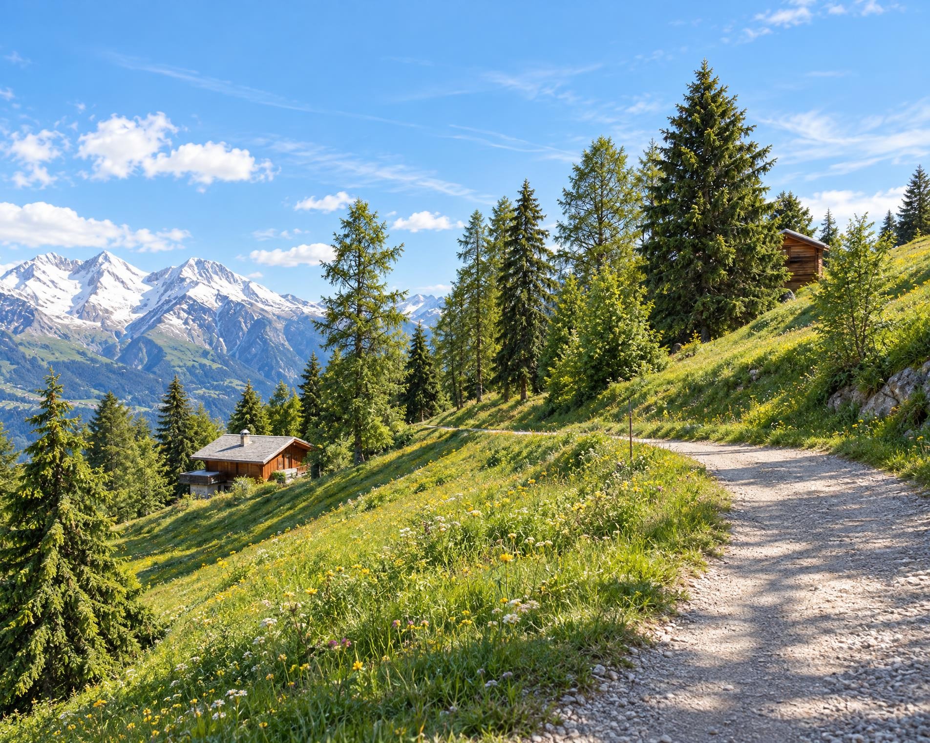
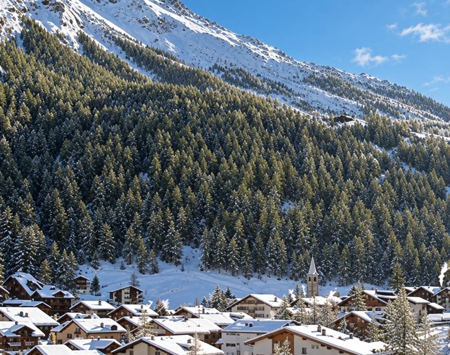
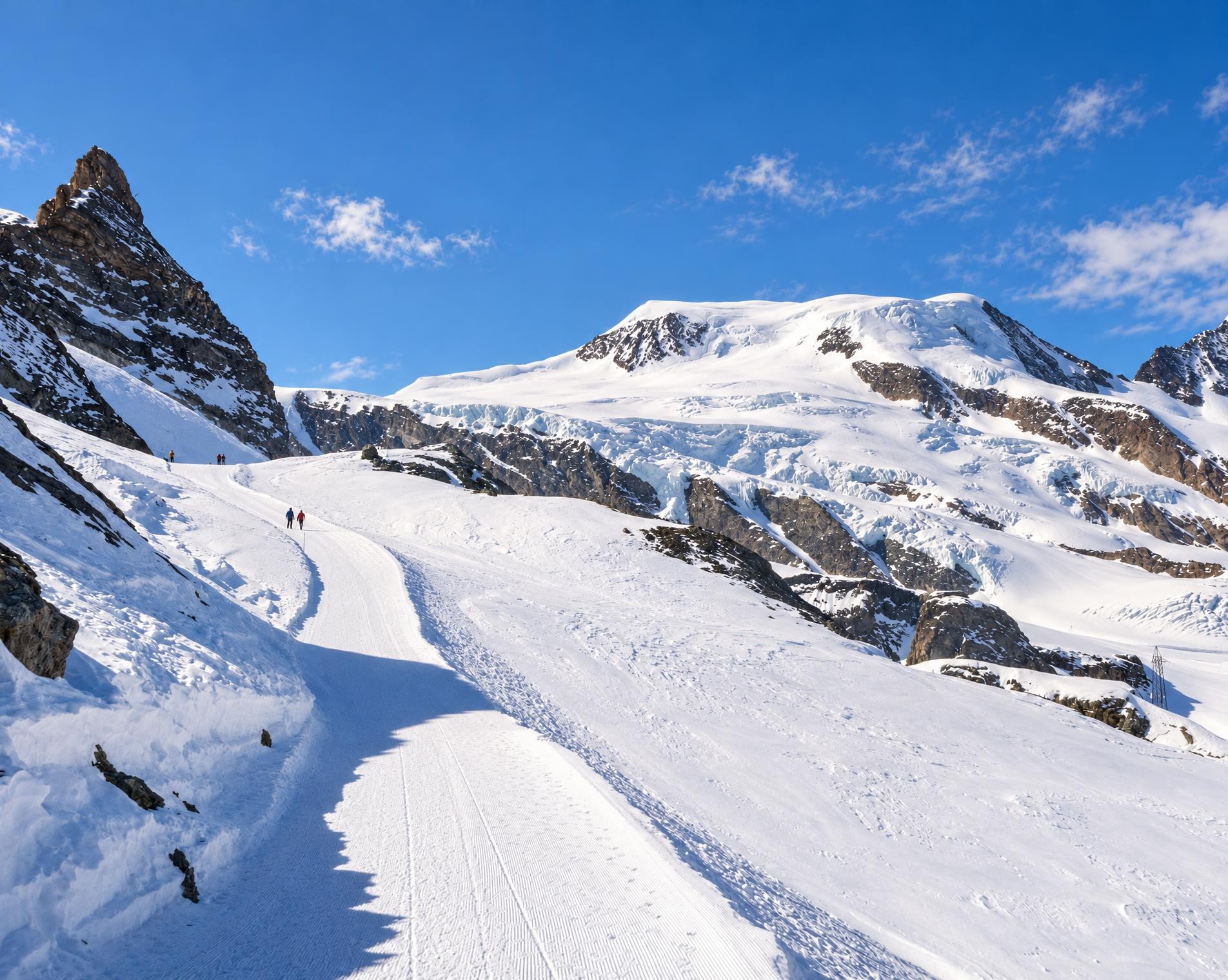
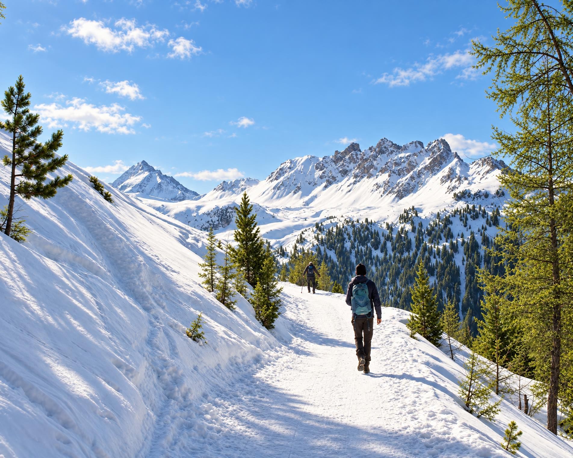
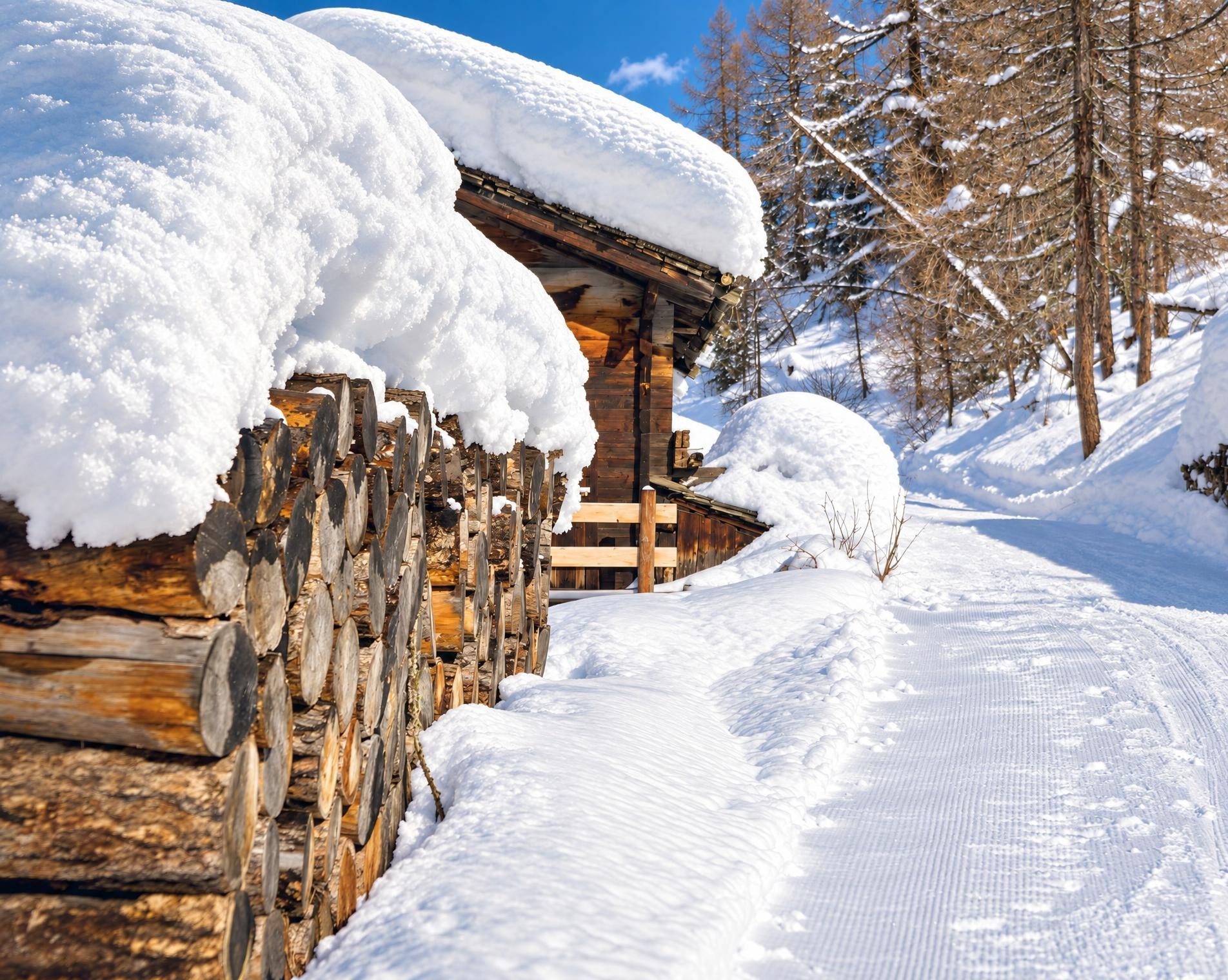
This family-friendly winter hike not only has magnificent views of the Matterhorn and other four-thousand-metre peaks, but also has a lot to offer culturally and historically. The trail leads along the edge of the forest and historic bisses to Alpe Äbnet. The Egga chapel offers insights into the village’s history.
The winter hike starts in the heart of the village at the Grächen, Zentrum bus stop. At Restaurant Paletti, the circular route gradually leaves the houses behind and climbs across open terrain. Over four kilometres, it gains around 160 metres in elevation, with the ascent continuing to the highest point about halfway along the route.
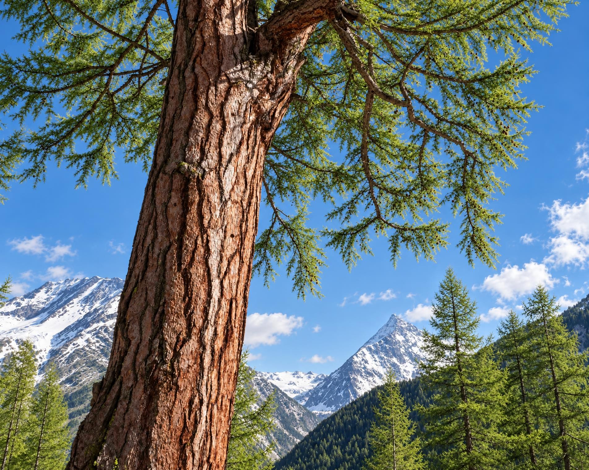
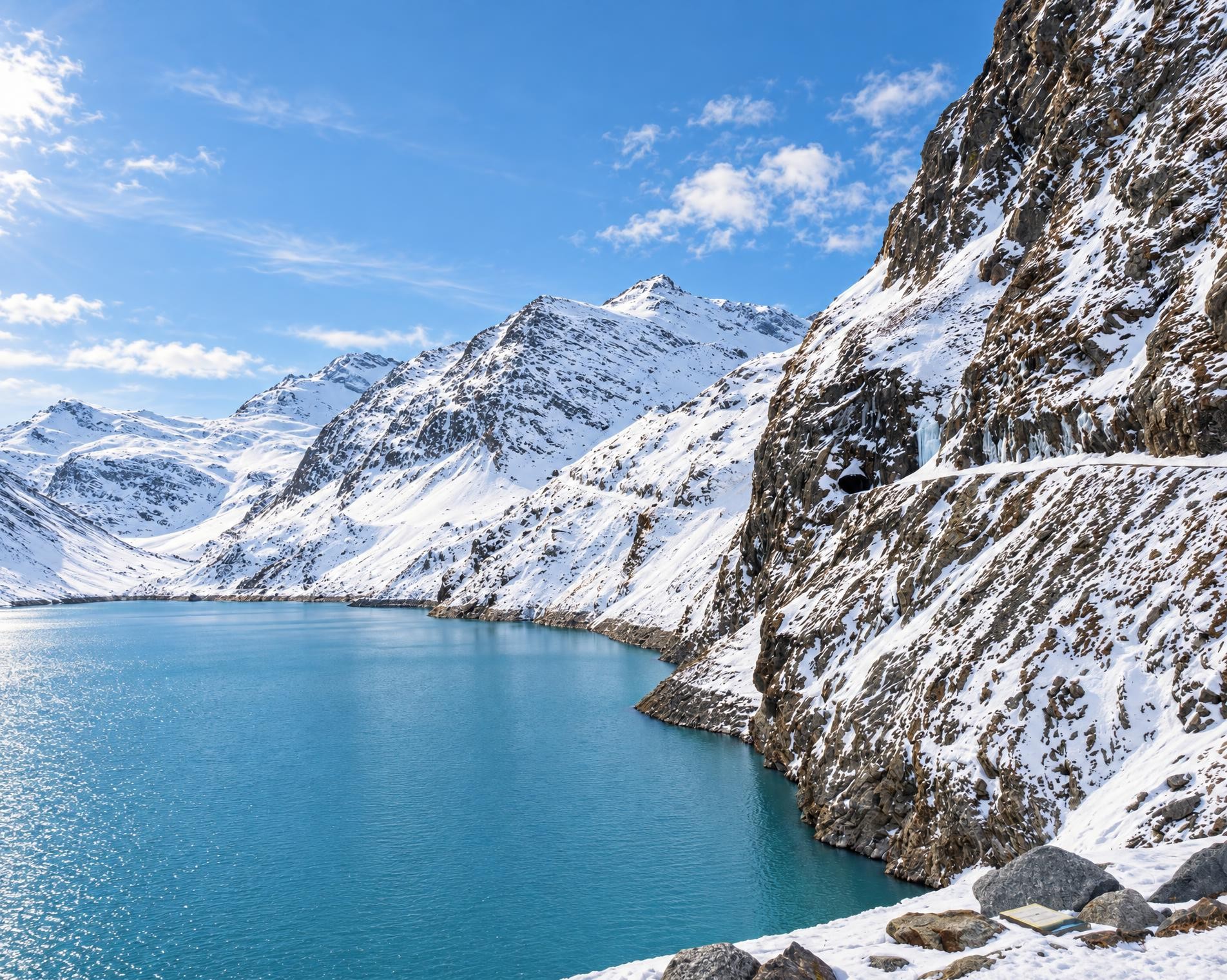
After just under an hour, the route reaches the small lake Zum See and follows its shore. Shortly afterwards, it enters the forest. At around 1,760 m, this is the highest point of the circuit. The route now changes direction, and the trail steadily loses elevation again.
Towards the end, the first houses of Grächen reappear amid the open terrain. The route passes Restaurant Weisshorn before returning to the village centre. After around one and a half hours, the winter hike ends back in Grächen; the Grächen, Zentrum bus stop is only a few steps from the finish.
Ups and downs
Where the route climbs and where it descends. Hover the profile to find the spot on the map.
What's along the way
Discover points of interest along the route. Pick a stop in the list to show it on the map. Pick a category below the map to show all the sights of that category.
- 0.0 kmGrächenStart
- 4.0 kmGrächenFinish
Getting there
From your door to the trailhead and home again, by train and bus or by car. Computed live from the timetable.
Or from
Outbound
Return
Weather on the way
Forecast for the lowest and the highest point of the route.
Weather
Trail & landscape
Which paths you walk on and the landscape they lead through.
Larches count as conifer forest here.
Snow on the route
Snow depths, new snow and forecast. Estimates: check the situation on site before you set off.
Snow Info
Relative snow depth not available where long-term average is below 10cm.
Take the route with you
Load the track onto your GPS device, print a route sheet for the trail or send the route to your hiking group.
Share
Send the link to friends or your hiking group.
Export GPX File
For hiking apps, GPS watches and navigation devices.
Print Route Sheet
A4 with map, elevation profile, waypoints and emergency numbers.