Hike /Schweiz Mobil
Jakobsweg Graubünden
MüstairOberalppass
- Distance
- 260.0 km
- Duration
- –
- Ascent
- 11100 m
- Descent
- 10300 m
- Difficulty
- Moderate
- Fitness
- Moderate
- Route type
- One way
- Season
- May - October
01/ Overview
The route
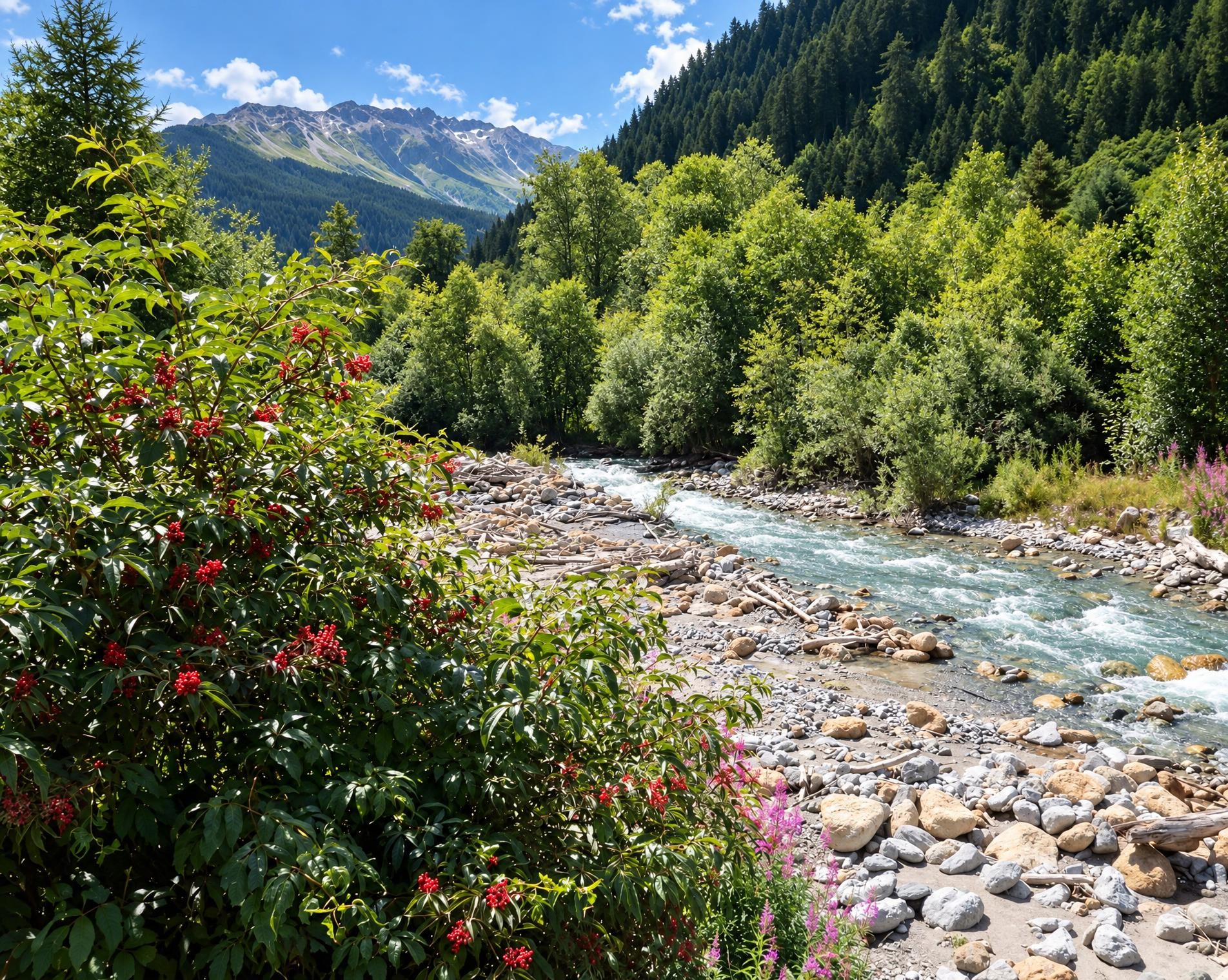
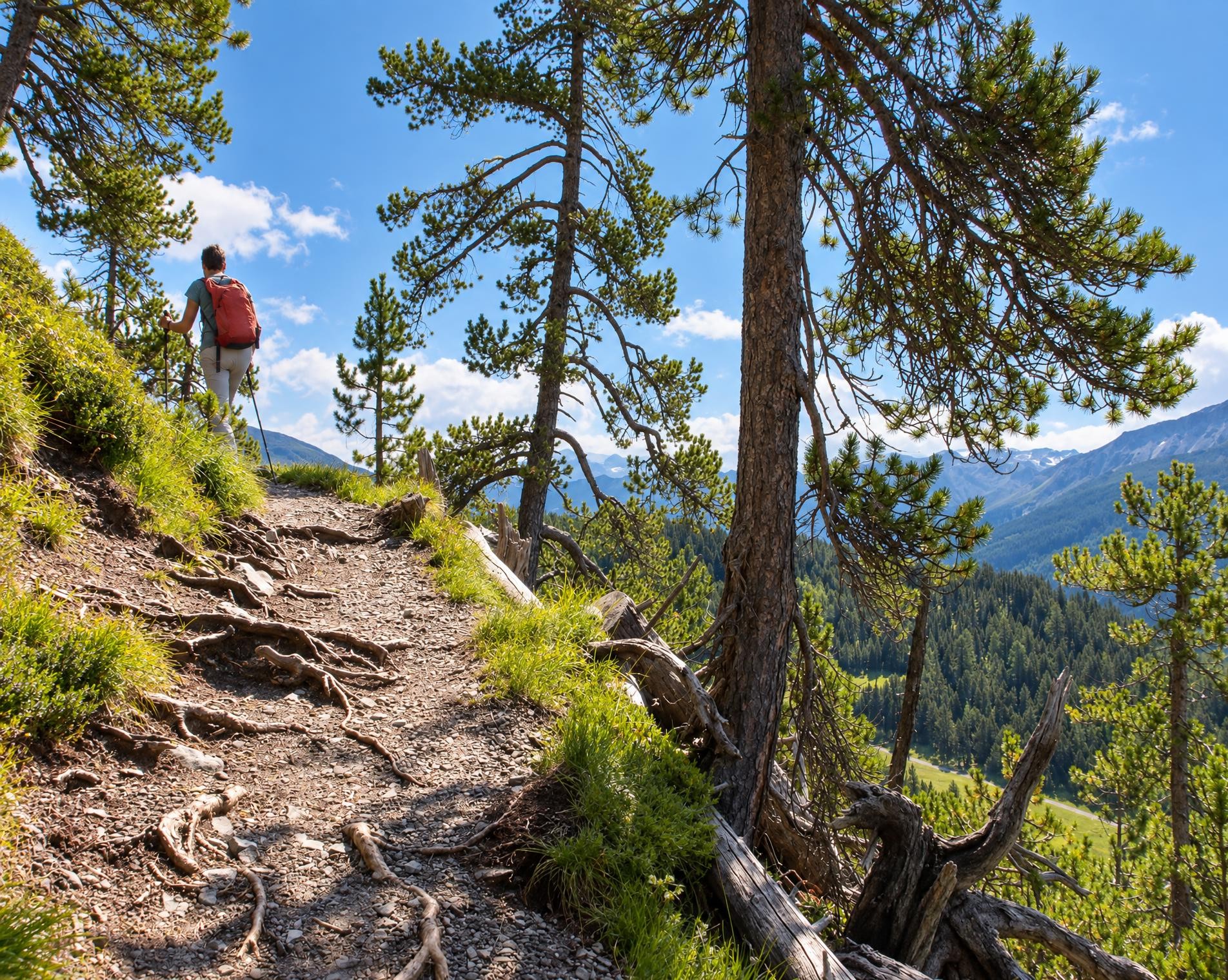
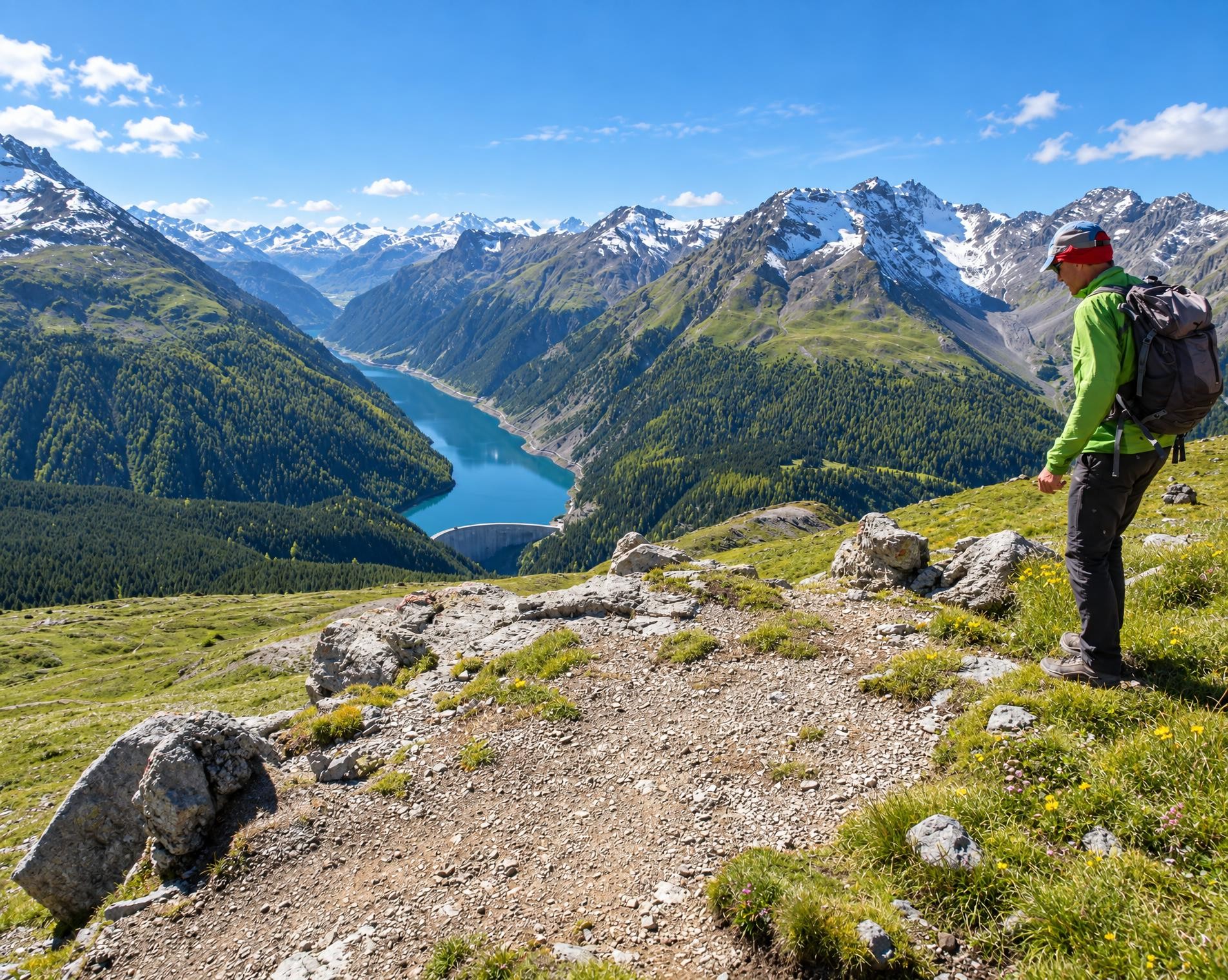
Scenic pass and valley landscapes on the Jakobsweg route through multifaceted Graubünden. Cultural and historical signs of the Santiago pilgrim’s path – and stunning scenery inviting one to reflect on own values and the beauty of nature.
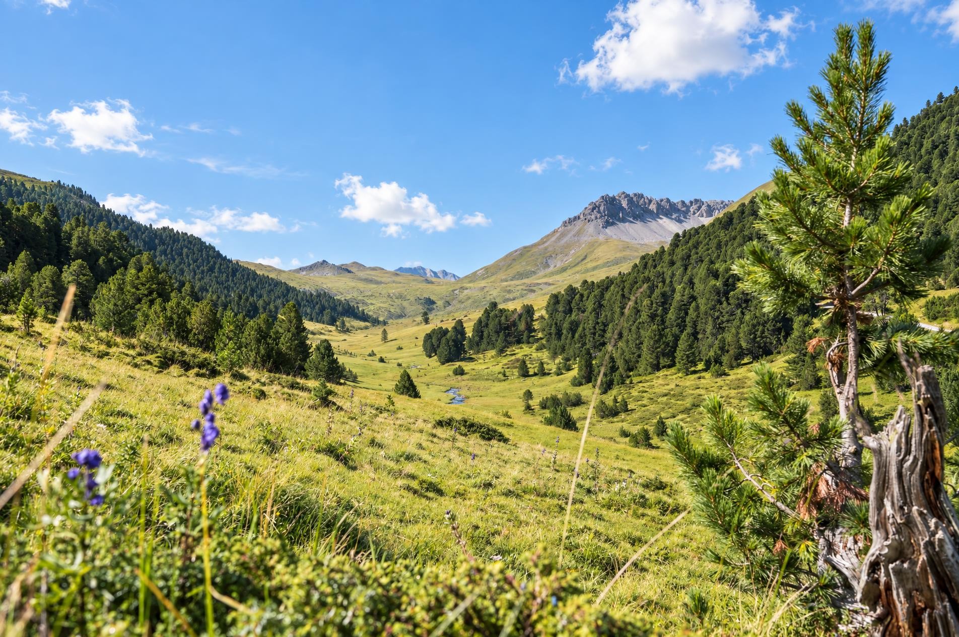
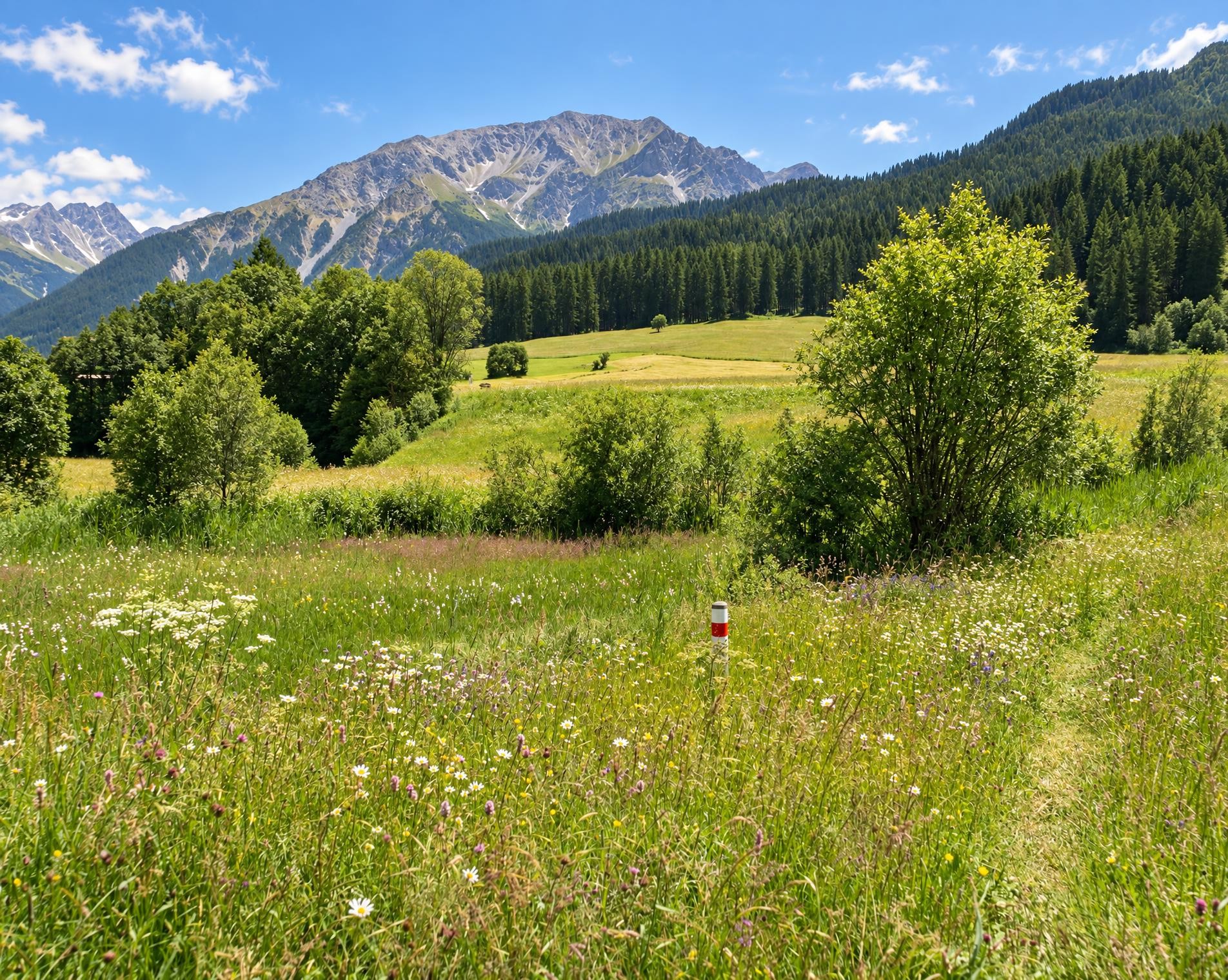
The roughly 260-kilometre hike begins at the Müstair, Clostra Son Jon bus stop. It leads through Val Müstair, across meadows and through forest. Beyond Lü, the mountain trail climbs to Pass da Costainas, which leads into Val S-charl and lies in the headwaters of the Clemgia. The route then continues through God Tamangur and via Guarda to Zernez.
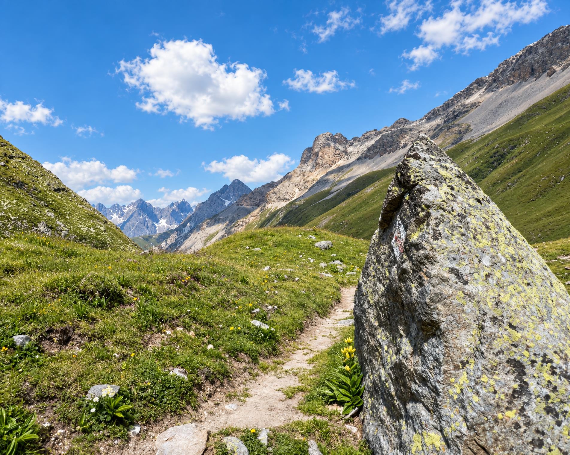
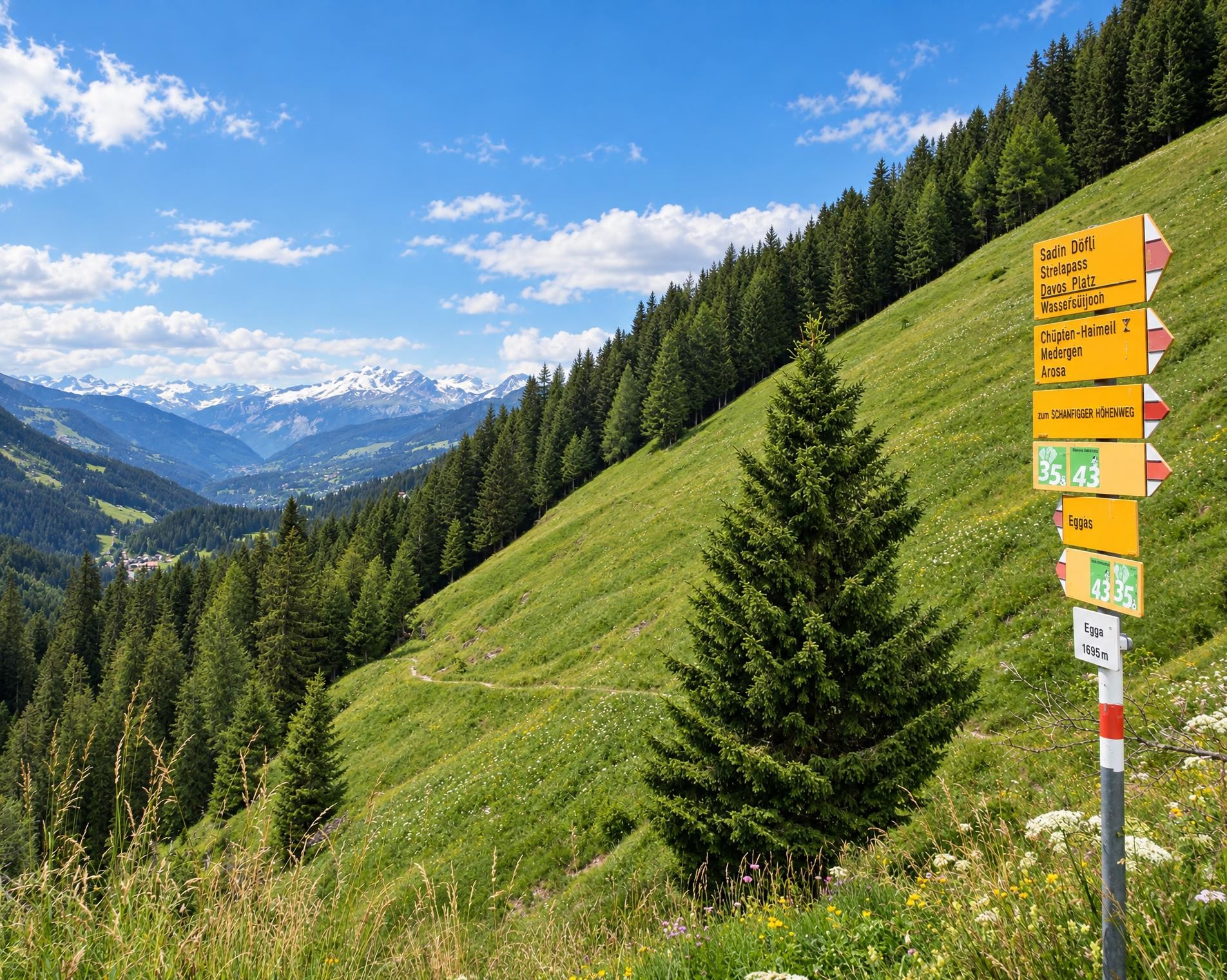
The route leads through Susauna to its highest point near the Scalettapass at around 2,600 m. At the top of the pass, the catchment areas of the Rhine and Inn divide. The long descent follows the Dischmabach through the Dischmatal to Davos. Via Schatzalp and Strelapass, the trail crosses into Schanfigg, runs through Sapün and Langwies, and descends via Tschiertschen and Passugg into the Chur Rhine Valley.
On the far side of the valley, forest, open slopes and villages alternate. Via Laax, Falera and Pigniu, the route reaches Lag da Breil and Breil/Brigels. Through the Surselva, Trun, Disentis/Mustér and Sedrun follow. The final mountain trail climbs via Milez to Oberalppass, where the hike ends at the railway station.
02/ Along the route
What's along the way
Where the route climbs and where it descends. Hover the profile to find the spot on the map.
03/ Conditions
Current conditions
What to know before you set off. Closures and snow are re-checked every day.
Scuol-Clemgiaschlucht
From 29 Aug 2023 – Until 22 Jul 2027
Infolge Steinschlag und Hangrutsche ist die Clemgiaschlucht zwischen Plan da Funtanas bis nach Gurlaina gesperrt!
Mulin
From 16 Jul 2026 – Until 16 Apr 2027
Die Wegstrecke Mulin da Siat wird nicht mehr unterhalten. Bitte nehmen Sie den neuen Streckenabschnitt.
Trun - Val Zinzera
From 1 Sept 2026 – Until 30 Oct 2026
Am vergangenen Freitagabend zog ein heftiges Gewitter über die Gemeinde Trun. Dabei ging ein grosser Murgang in der Val Zinzera nieder, infolgedessen ist der Wanderweg nicht mehr passierbar.
Praden (Steinbach - Steinbachegg)
From 21 Sept 2026 – Until 6 Nov 2026
Wegen Forstarbeiten bleibt der Wanderweg ab Ausserpraden bis Steinbachhegg bis auf Weiteres gesperrt.
Davos/Schatzalp - Bobbahnstrasse
From 23 Sept 2026 – Until 30 Oct 2026
Die Bobbahnstrasse ist im Abschnitt Büschalpweg bis Schatzalp infolge Bauarbeiten bis ca. Ende Oktober 2026 gesperrt.
Langlaufbetrieb Davos
From 19 Oct 2026 – Until 30 Apr 2027
Infolge Langlaufbetrieb sind die markierten Wanderwege bis auf Weiteres gesperrt. Bitte benutzen Sie die eingezeichnete Umleitung.
Langlaufbetrieb Davos II
From 19 Oct 2026 – Until 30 Apr 2027
Infolge Langlaufbetrieb sind die markierten Wanderwege bis auf Weiteres gesperrt. Bitte benutzen Sie die eingezeichnete Umleitung.
Molinis - Tschirtschen
From 2 Nov 2026 – Until 20 Nov 2026
Infolge Holzschlagarbeiten und Bringung des Holzes mittels Seilkrananlage, wird der Wanderweg gesperrt. Um Ihre Sicherheit zu gewährleisten bitten wir um Verständnis und Einhalten der Sperrungen und Sperrzeiten, damit die Holzschlagarbeiten ungehindert und sicher ausgeführt werden können.
How we check: Every night we match the route against the official closures and detours from the Federal Roads Office (FEDRO). Any reported closure that touches the route shows up here.
There may be snow on this hiking trail. Bring appropriate gear and plan accordingly.
How we check: SLF only publishes its snow maps from November 1. Until then we roughly estimate the snow depth at the lowest and the highest point of the route every day from the nearest SLF measuring stations. Check the situation on site.
04/ Getting there
Getting there
From your door to the trailhead and home again, by train and bus or by car. Computed live from the timetable.
Or from
Outbound
Return
05/ Weather
Weather on the way
Forecast for the lowest and the highest point of the route.
Weather
06/ Trail & landscape
Trail & landscape
Which paths you walk on and the landscape they lead through.
Larches count as conifer forest here.
07/ Snow
Snow on the route
Snow depths, new snow and forecast. Estimates: check the situation on site before you set off.
Snow Info
08/ Export
Take the route with you
Load the track onto your GPS device, print a route sheet for the trail or send the route to your hiking group.
Share
Send the link to friends or your hiking group.
Export GPX File
For hiking apps, GPS watches and navigation devices.
Print Route Sheet
A4 with map, elevation profile, waypoints and emergency numbers.