Hike /Schweiz Mobil
Jakobsweg Graubünden, Stage 8/19
DürrbodenDavos Dorf
- Distance
- 13.0 km
- Duration
- 3:00 h
- Ascent
- 70 m
- Descent
- 520 m
- Difficulty
- Moderate
- Fitness
- Moderate
- Route type
- One way
- Season
- June - October
01/ Overview
The route
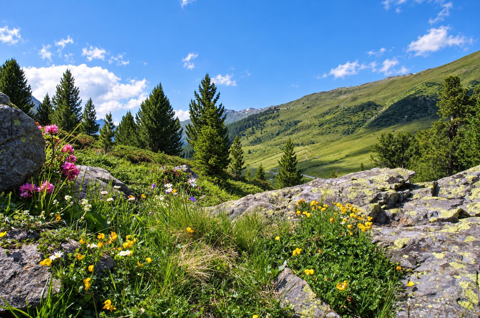
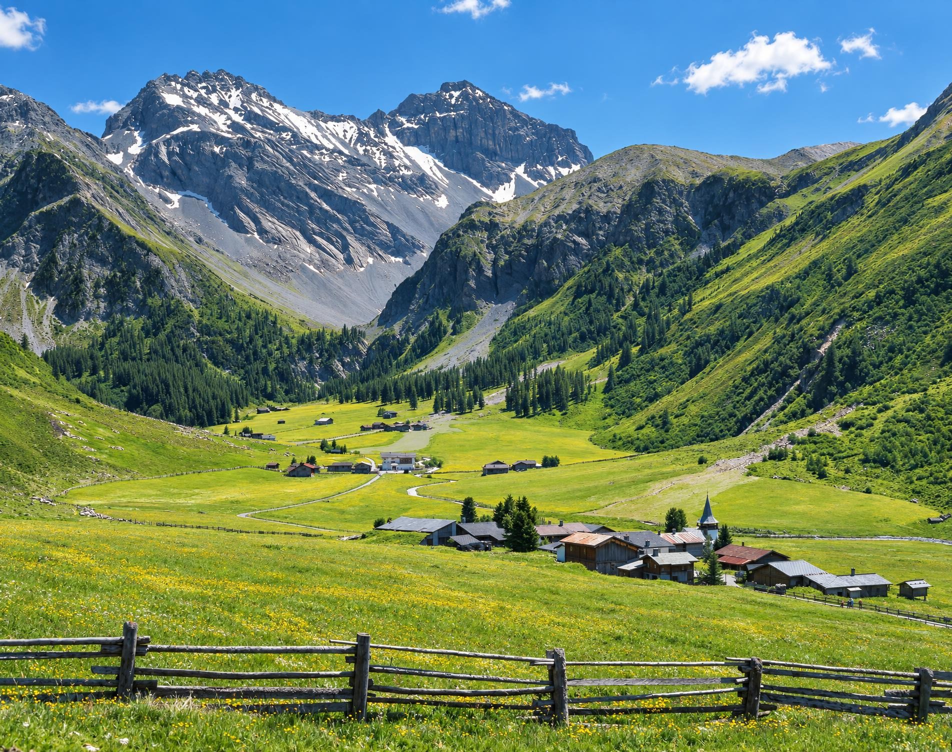
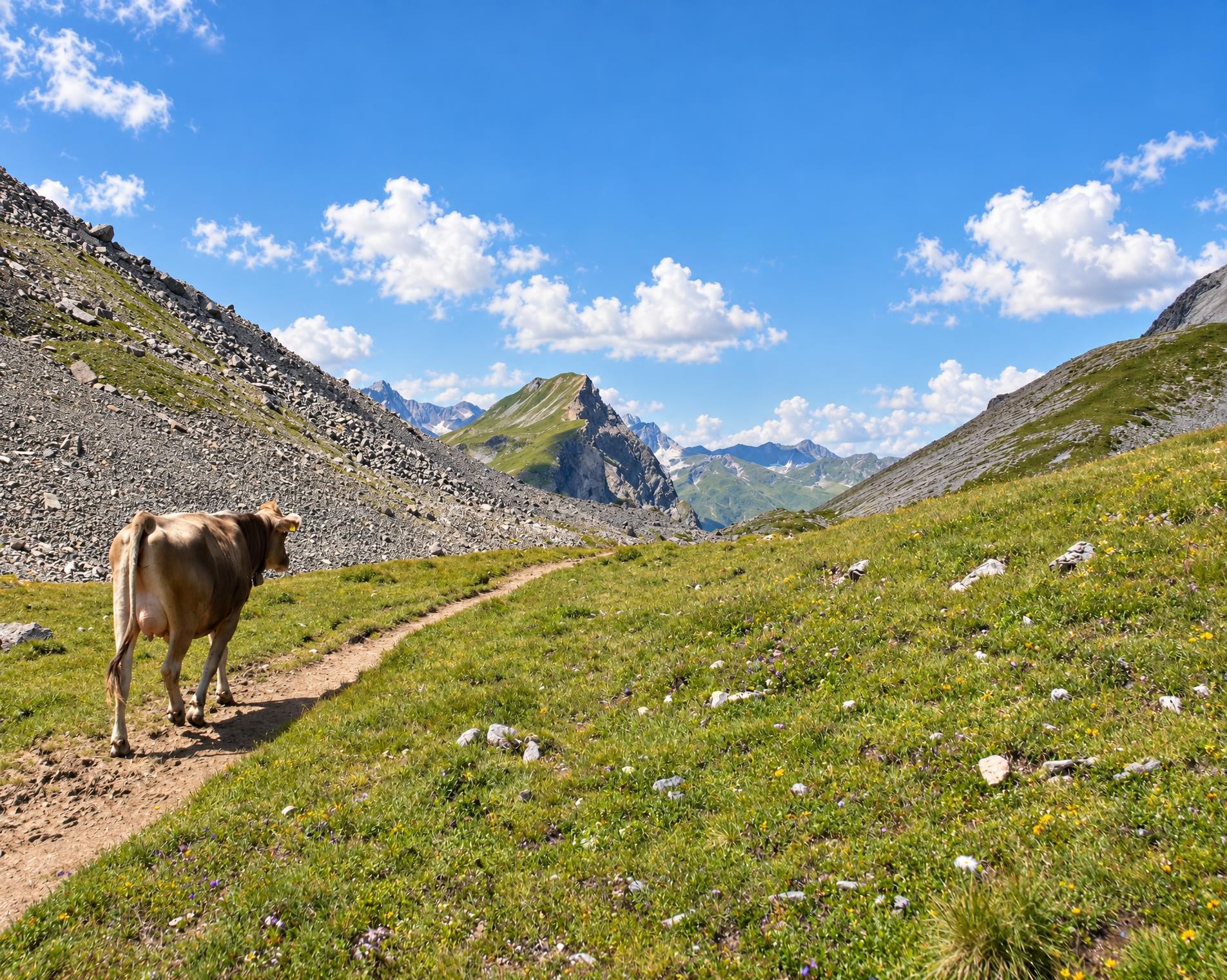
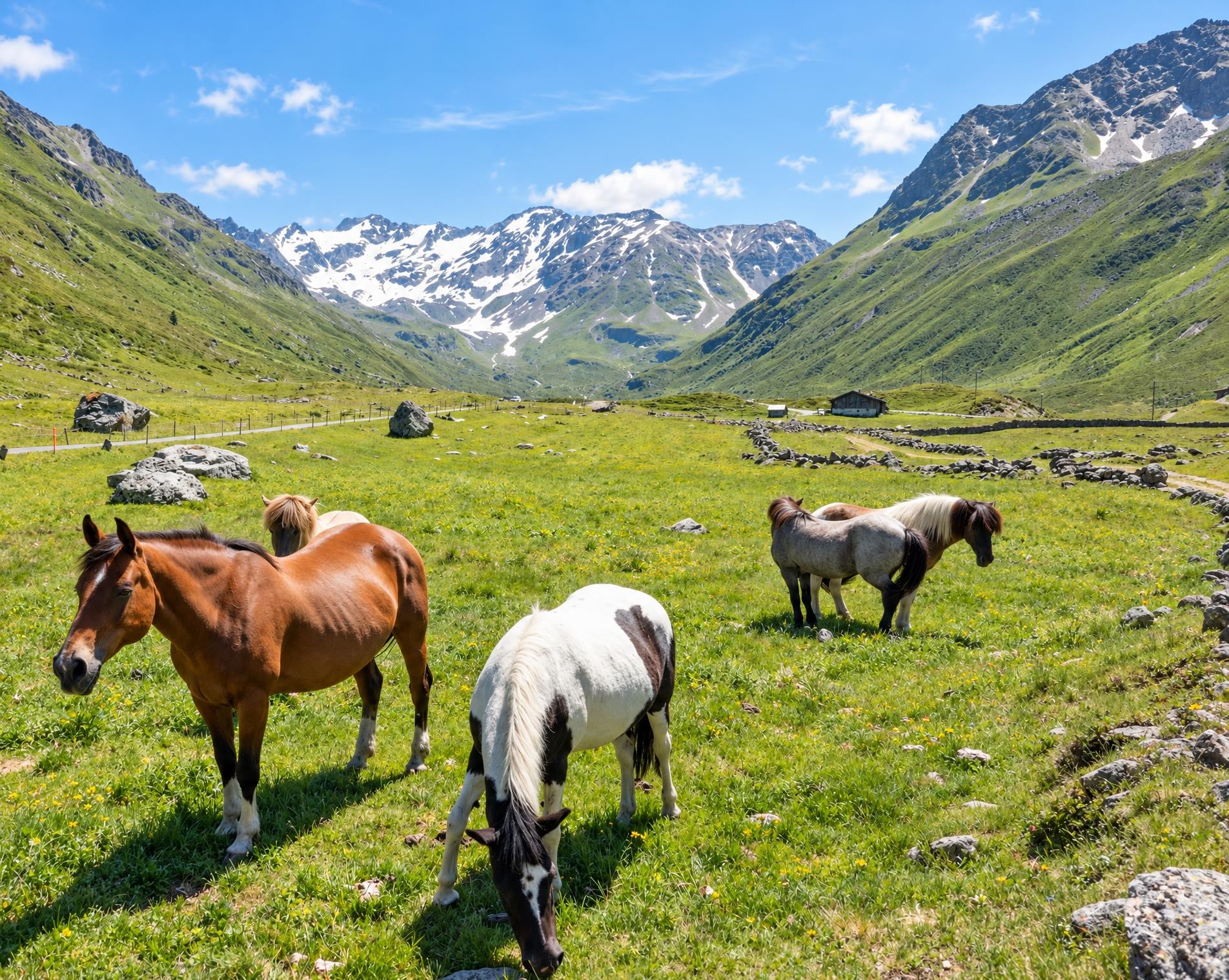
Dischma, the longest Davos side valley - with relaxing journey’s leg via Teufi along the Dischmabach stream and over grasslands. Pretty Maiensäss reminds one of the original landscapes of the Walser folk - where early summer sees carpets of flowers adorn the hiking path.
The approximately three-hour hike begins at the Dürrboden bus stop, at just over 2,000 metres and also the highest point on the route. After only a few steps, the Berggasthaus Dürrboden comes into view beside the trail. The hamlet lies on the historic Via Valtellina, along which wine was once transported north from Valtellina over the Scalettapass.
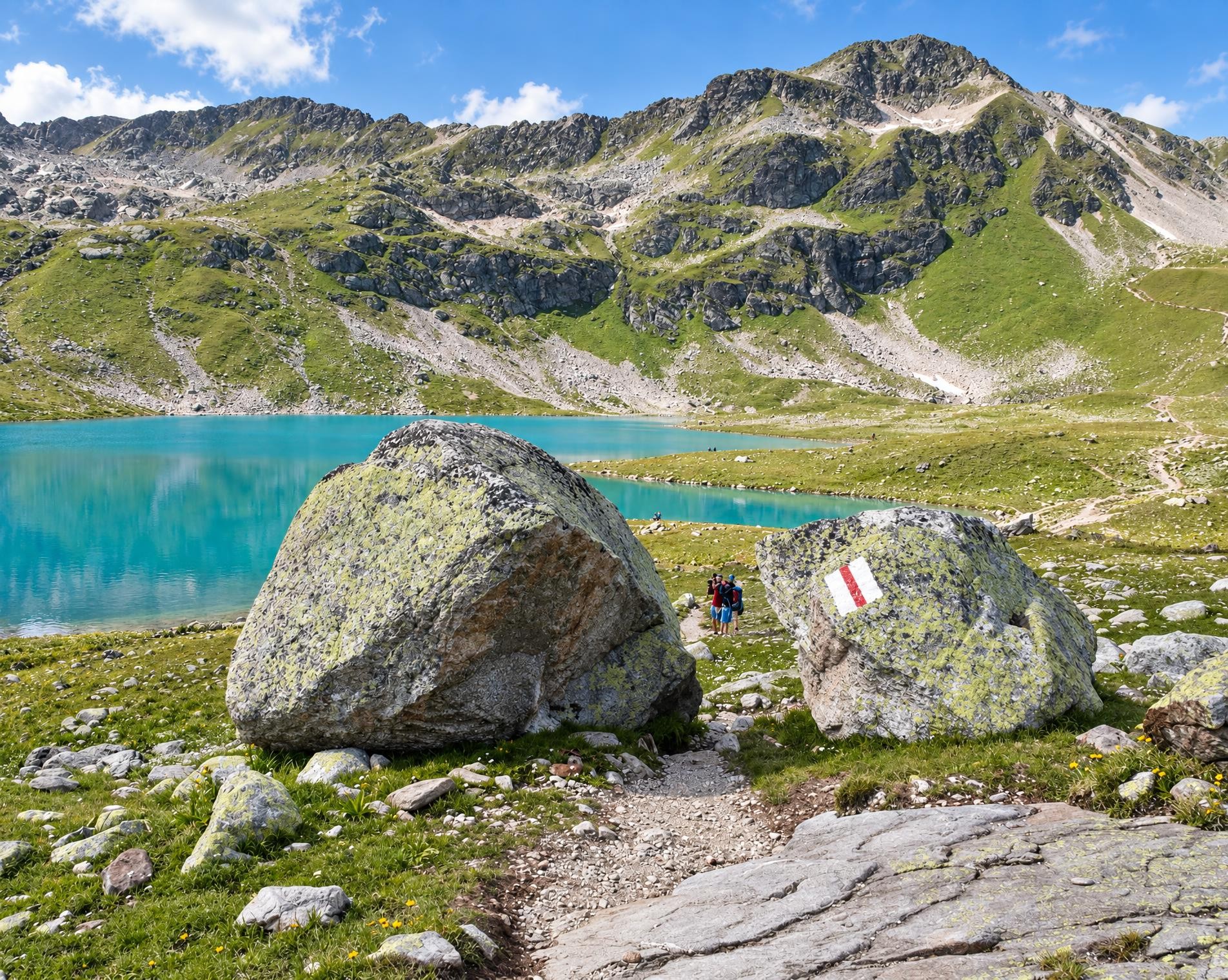
The white-red-white waymarked mountain trail then leads through the open pastures of the Dischma valley. It descends gently for long stretches, interrupted by short uphill sections. The scattered houses of Am Rin and later Teufi provide individual points of interest in the broad valley landscape. In total, the route descends around 520 metres.
Towards the end, the trail becomes wider and the settlement of Davos Dorf draws closer. After around 13 kilometres, the hike ends near the Davos Dorf bus stop.
02/ Along the route
What's along the way
Where the route climbs and where it descends. Hover the profile to find the spot on the map.
03/ Conditions
Current conditions
What to know before you set off. Closures and snow are re-checked every day.
Langlaufbetrieb Davos
From 19 Oct 2026 – Until 30 Apr 2027
Infolge Langlaufbetrieb sind die markierten Wanderwege bis auf Weiteres gesperrt. Bitte benutzen Sie die eingezeichnete Umleitung.
Langlaufbetrieb Davos II
From 19 Oct 2026 – Until 30 Apr 2027
Infolge Langlaufbetrieb sind die markierten Wanderwege bis auf Weiteres gesperrt. Bitte benutzen Sie die eingezeichnete Umleitung.
How we check: Every night we match the route against the official closures and detours from the Federal Roads Office (FEDRO). Any reported closure that touches the route shows up here.
There may be snow on this hiking trail. Bring appropriate gear and plan accordingly.
How we check: SLF only publishes its snow maps from November 1. Until then we roughly estimate the snow depth at the lowest and the highest point of the route every day from the nearest SLF measuring stations. Check the situation on site.
04/ Getting there
Getting there
From your door to the trailhead and home again, by train and bus or by car. Computed live from the timetable.
Or from
Outbound
Return
05/ Weather
Weather on the way
Forecast for the lowest and the highest point of the route.
Weather
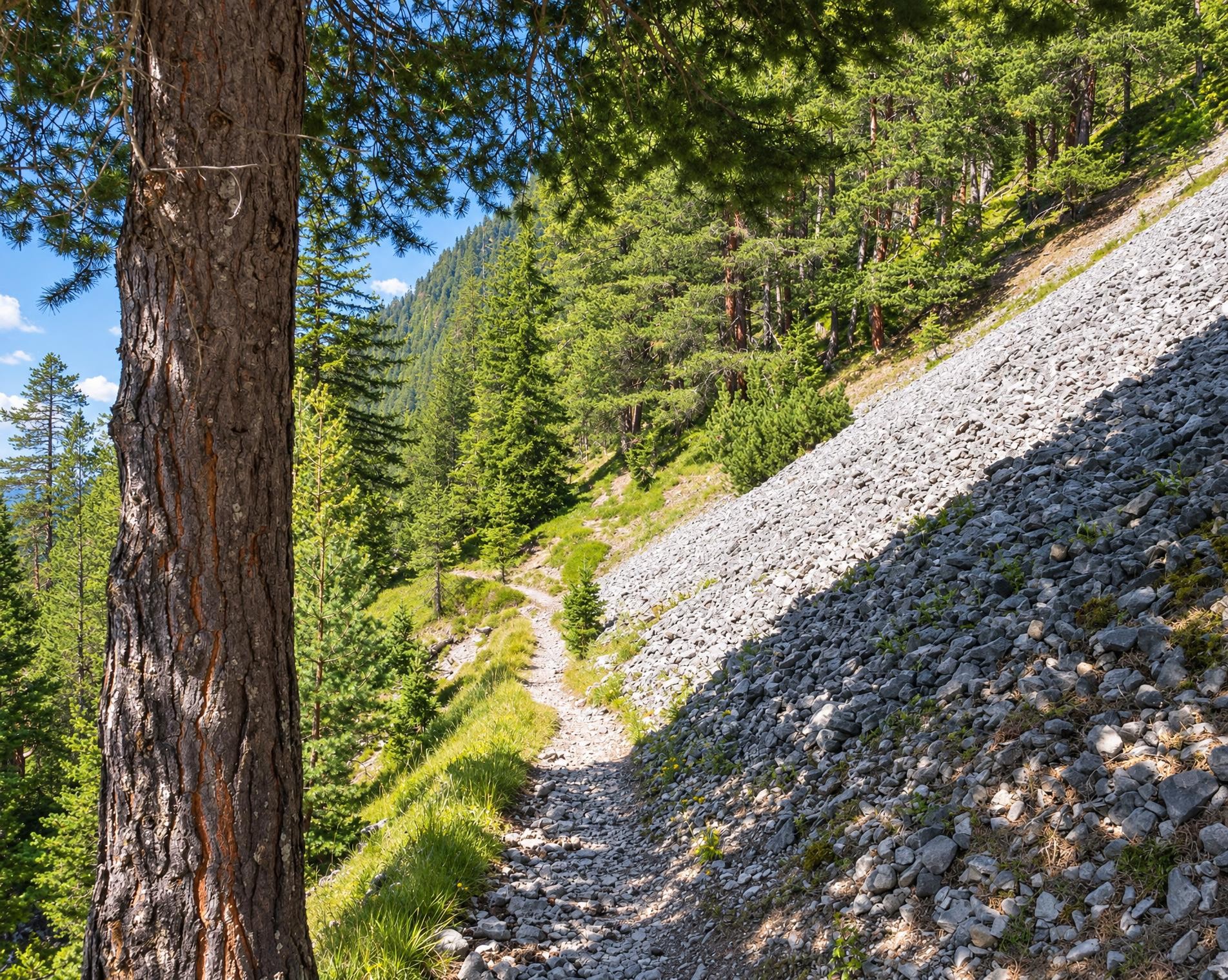
06/ Trail & landscape
Trail & landscape
Which paths you walk on and the landscape they lead through.
Larches count as conifer forest here.
07/ Snow
Snow on the route
Snow depths, new snow and forecast. Estimates: check the situation on site before you set off.
Snow Info
08/ Export
Take the route with you
Load the track onto your GPS device, print a route sheet for the trail or send the route to your hiking group.
Share
Send the link to friends or your hiking group.
Export GPX File
For hiking apps, GPS watches and navigation devices.
Print Route Sheet
A4 with map, elevation profile, waypoints and emergency numbers.