Hike /Seetal Tourismus
Nature and Scenery on the Erlosen (Hildisrieden – Herlisberg – Hitzkirch)
HildisriedenHitzkirch
- Distance
- 12.2 km
- Duration
- 3:11 h
- Ascent
- 126 m
- Descent
- 350 m
- Difficulty
- Moderate
- Fitness
- Moderate
- Route type
- One way
- Season
- All year
01/ Overview
The route
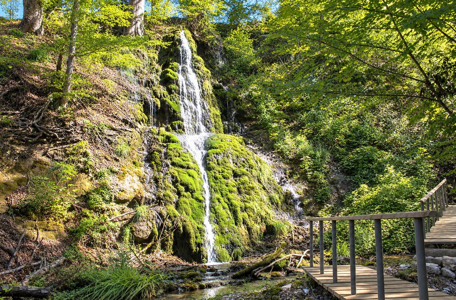
Forests, meadows and sweeping views characterise the route across the Erlosen. On the descent, the Baldeggersee comes into view before Richensee’s Megalith Tower recalls the former town fortifications.
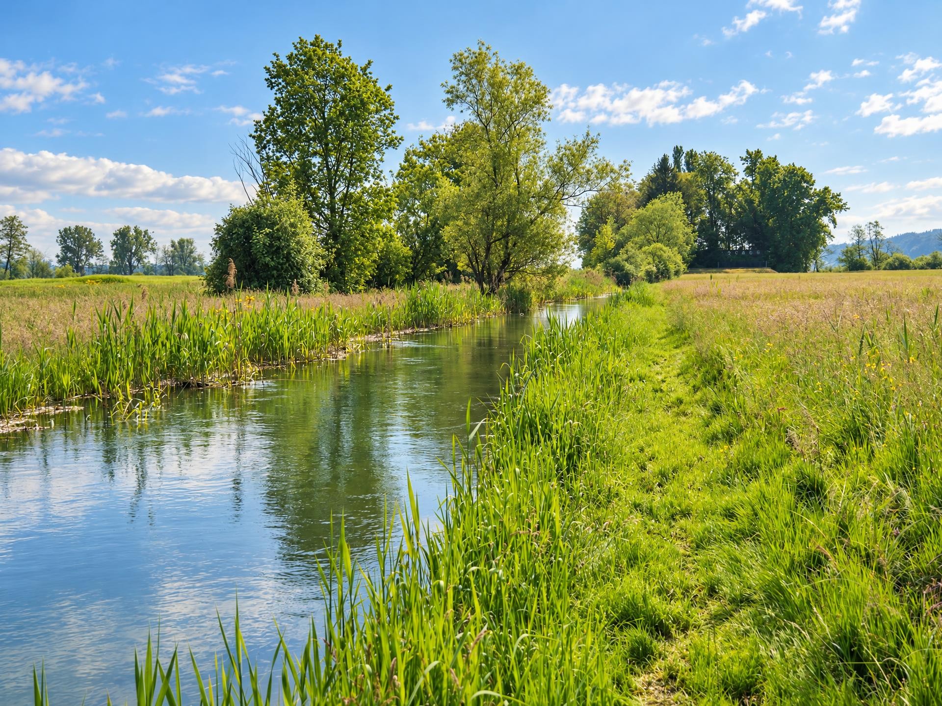
From the Hildisrieden, Dorf bus stop, the yellow-marked hiking trail soon enters the Hildisriederwald. Open meadows, stretches of woodland and the houses of Elmenringen then alternate. Crossing the Erlosen, the route climbs gently to its highest point near Bloseberg at around 810 m. Along the way, the Waldhus viewpoint offers sweeping views across the Luzerner Mittelland.
At the Vogelmoos nature reserve, viewing platforms provide opportunities to observe waterbirds. The trail then continues through the open hills of Herlisberg and past the Wirtshaus zum Herlisberg inn. A possible detour leads to the Gormund pilgrimage chapel, dedicated to Our Lady of Sorrows.
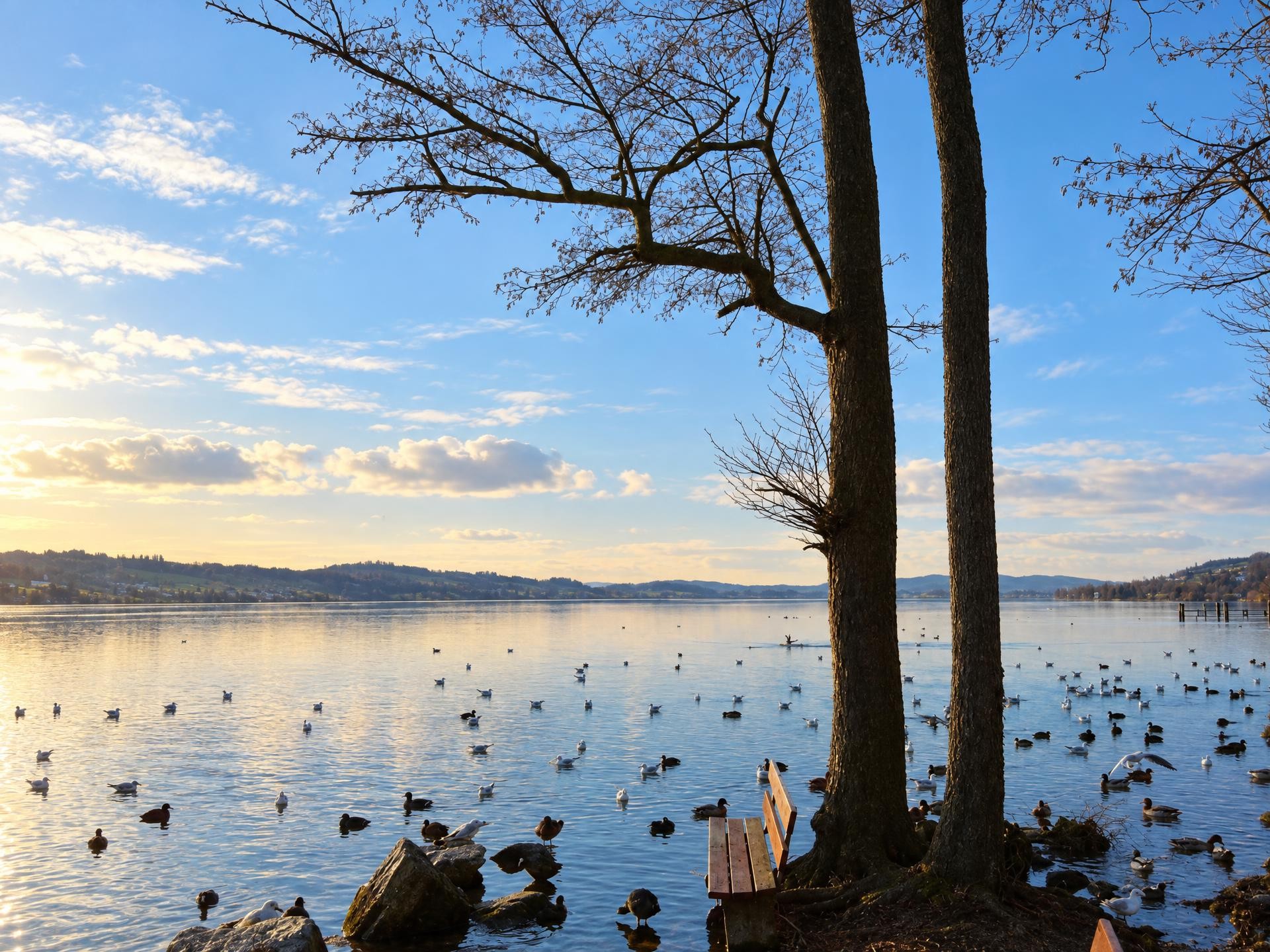
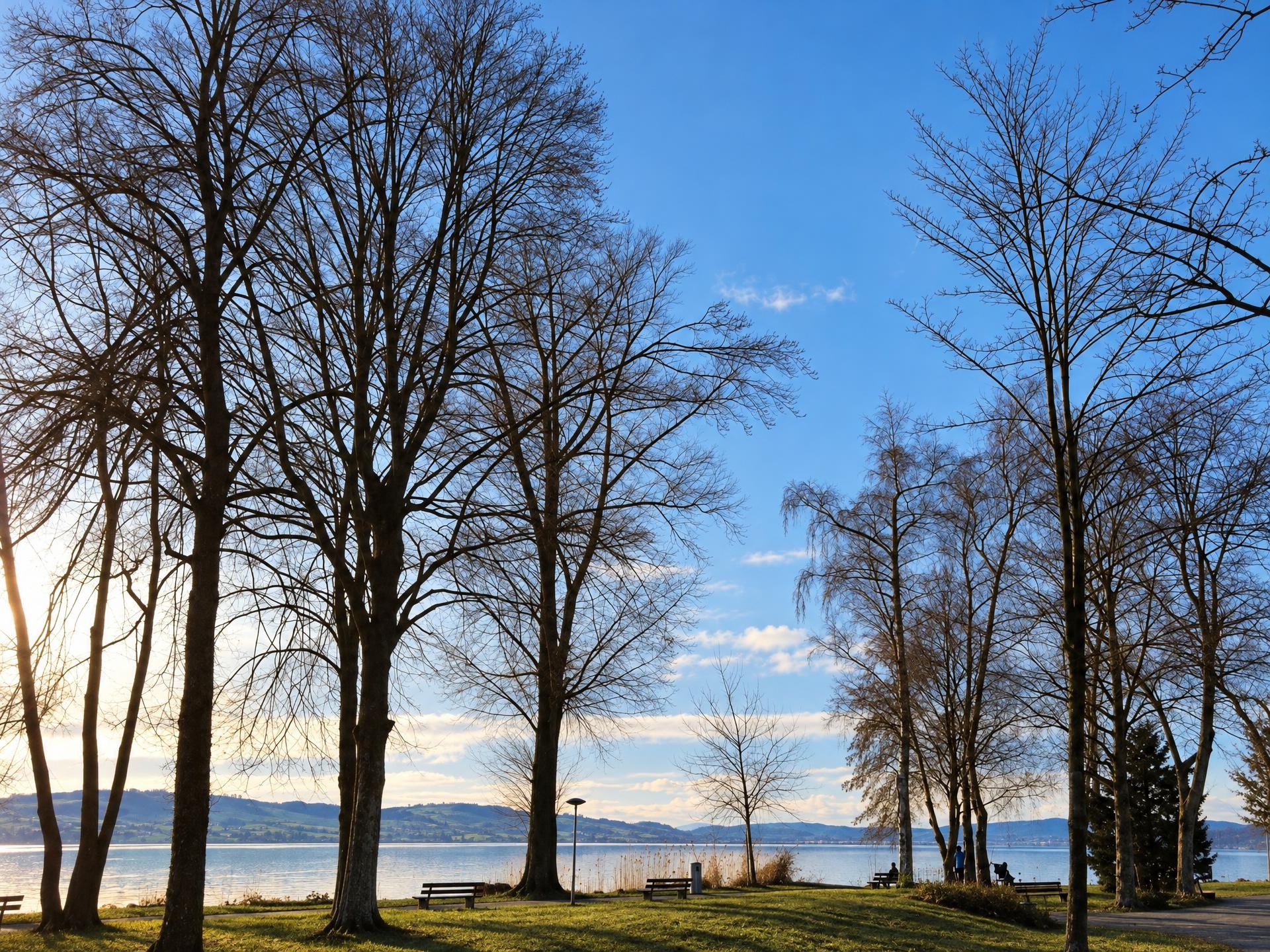
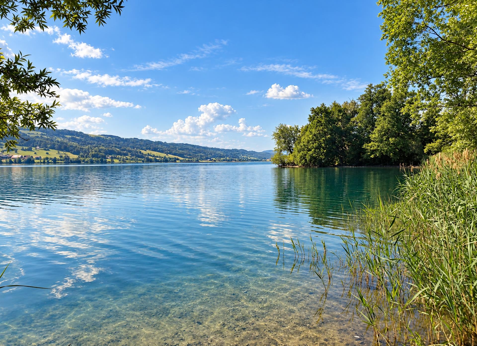
Towards the end, the trail descends more steeply. Views open up over the Baldeggersee, which belongs to Pro Natura. In Richensee, the Megalith Tower stands near the route as the last remnant of the former town fortifications. The final flat stretch leads to Hitzkirch railway station, where the roughly three-hour hike ends.
02/ Along the route
What's along the way
Where the route climbs and where it descends. Hover the profile to find the spot on the map.
03/ Conditions
Current conditions
What to know before you set off. Closures and snow are re-checked every day.
How we check: Every night we match the route against the official closures and detours from the Federal Roads Office (FEDRO). Any reported closure that touches the route shows up here.
How we check: We look up a live public transport connection from your starting point to the stop closest to the trailhead. If it ends further away, the nearest stop may be a cable car or bus that isn't running right now.
How we check: Snow depth estimated daily at the lowest and the highest point of the route. Estimates: check the situation on site.
04/ Getting there
Getting there
From your door to the trailhead and home again, by train and bus or by car. Computed live from the timetable.
Or from
Outbound
Return
05/ Weather
Weather on the way
Forecast for the lowest and the highest point of the route.
Weather
06/ Trail & landscape
Trail & landscape
Which paths you walk on and the landscape they lead through.
Larches count as conifer forest here.
07/ Export
Take the route with you
Load the track onto your GPS device, print a route sheet for the trail or send the route to your hiking group.
Share
Send the link to friends or your hiking group.
Export GPX File
For hiking apps, GPS watches and navigation devices.
Print Route Sheet
A4 with map, elevation profile, waypoints and emergency numbers.