Hike /UNESCO Biosphäre Entlebuch
Circular Walk to the Kneipp Facility in Flühli
Dorfplatz Flühli
- Distance
- 4.3 km
- Duration
- 1:13 h
- Ascent
- 114 m
- Descent
- 114 m
- Difficulty
- Easy
- Fitness
- Easy
- Route type
- Loop
- Season
- All year
01/ Overview
The route
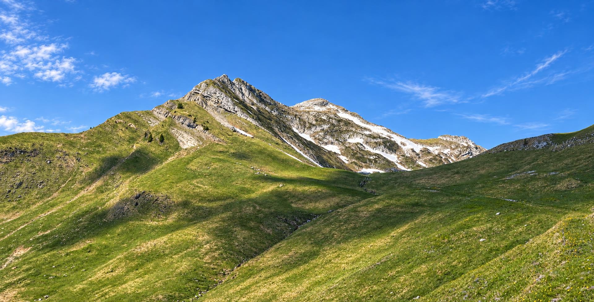
A short themed trail through meadows and woodland: at Schwandalpweiher, a Kneipp facility, barefoot trail and herb garden await before the route follows the Waldemme back to Flühli.
It is only a few steps from the Flühli Post bus stop to the village square. The signposted Kneipp circular trail leaves Flühli by St. Josef Church and climbs via Heidgbühl and Schlund through meadows and woodland to the Kneipp facility at Schwandalpweiher. A short section lies outside the network of yellow-marked hiking trails.
At the pond, a water-treading pool, arm bath and affusion station offer opportunities for Kneipp therapy; a relaxation area, walkways and benches made from local timber complete the facility. The themed trail also includes a barefoot path, a herb garden and a landslide model illustrating the protective function of the forest. Farther up, the route reaches its highest point at just under 1,000 m.
The path then descends to Hüttlenen and continues to the Waldemme. It crosses the Längbrügg and heads back towards Flühli; regional herbal and wellness products are available from the CHRüTLIMACHER shop. After a little over an hour, the circuit ends back at the village square.
Route data: Sörenberg Flühli Tourismus / UNESCO Biosphäre Entlebuch · CC BY 4.0 · Source
02/ Along the route
What's along the way
Where the route climbs and where it descends. Hover the profile to find the spot on the map.
03/ Conditions
Current conditions
What to know before you set off. Closures and snow are re-checked every day.
How we check: Every night we match the route against the official closures and detours from the Federal Roads Office (FEDRO). Any reported closure that touches the route shows up here.
How we check: We look up a live public transport connection from your starting point to the stop closest to the trailhead. If it ends further away, the nearest stop may be a cable car or bus that isn't running right now.
How we check: Snow depth estimated daily at the lowest and the highest point of the route. Estimates: check the situation on site.
04/ Getting there
Getting there
From your door to the trailhead and home again, by train and bus or by car. Computed live from the timetable.
Or from
Outbound
Return
05/ Weather
Weather on the way
Forecast for the lowest and the highest point of the route.
Weather
06/ Trail & landscape
Trail & landscape
Which paths you walk on and the landscape they lead through.
Larches count as conifer forest here.
07/ Export
Take the route with you
Load the track onto your GPS device, print a route sheet for the trail or send the route to your hiking group.
Share
Send the link to friends or your hiking group.
Export GPX File
For hiking apps, GPS watches and navigation devices.
Print Route Sheet
A4 with map, elevation profile, waypoints and emergency numbers.