Hike /Schweiz Mobil
ViaGottardo, Stage 8/20
AltdorfWassen
- Distance
- 28.0 km
- Duration
- 8:00 h
- Ascent
- 1050 m
- Descent
- 600 m
- Difficulty
- Easy
- Fitness
- Hard
- Route type
- One way
- Season
- March - October
01/ Overview
The route
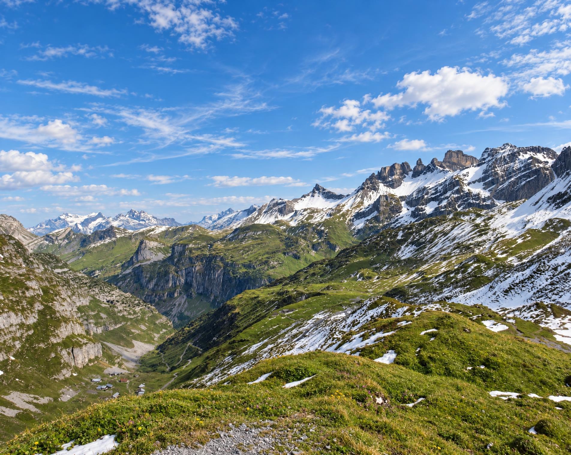
The interplay of medieval towers, transport structures, churches and chapels, the NEAT, motorway, railway tracks, engineered roads and pack-animal trails make the hike through the Urner Reusstal valley a fascinating journey through eight centuries of history.
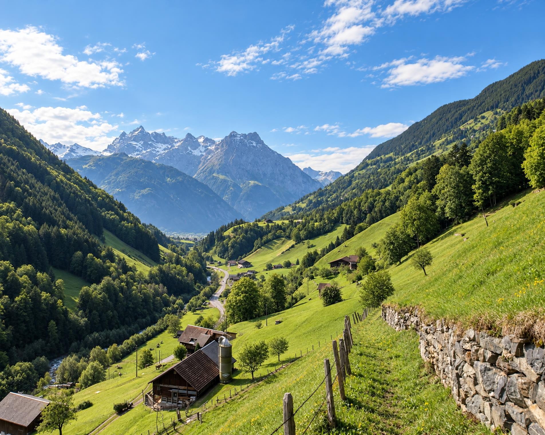
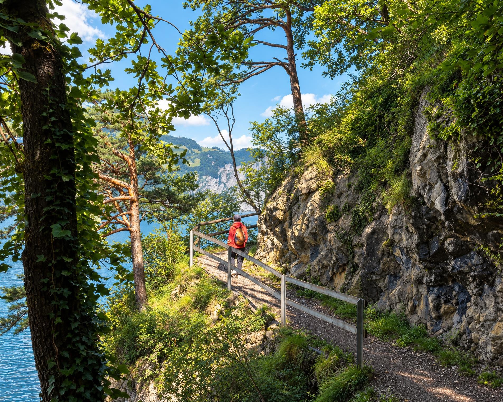
From the Altdorf UR, Telldenkmal bus stop, the yellow-marked hiking trail leads out of the cantonal capital and into the Reusstal. After a short descent, the route follows the Reuss for long stretches. Open meadows, patches of woodland and settlements alternate along the way. Near Erstfeld, the Jagdmattkapelle stands directly beside the trail; later, the route passes through Silenen to Amsteg. At 28 kilometres, with around eight hours of walking and a good 1,000 metres of ascent, the tour above all requires stamina.
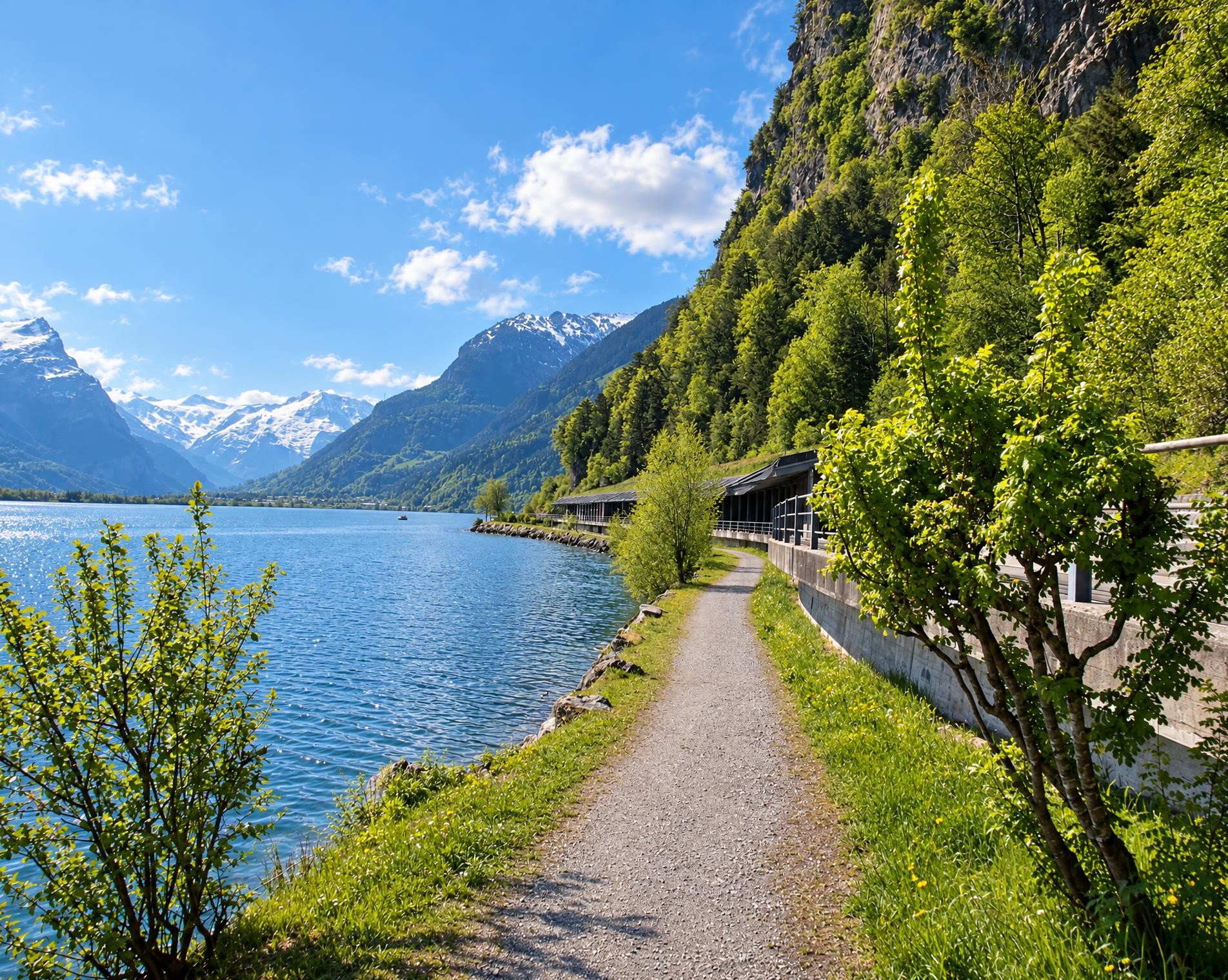
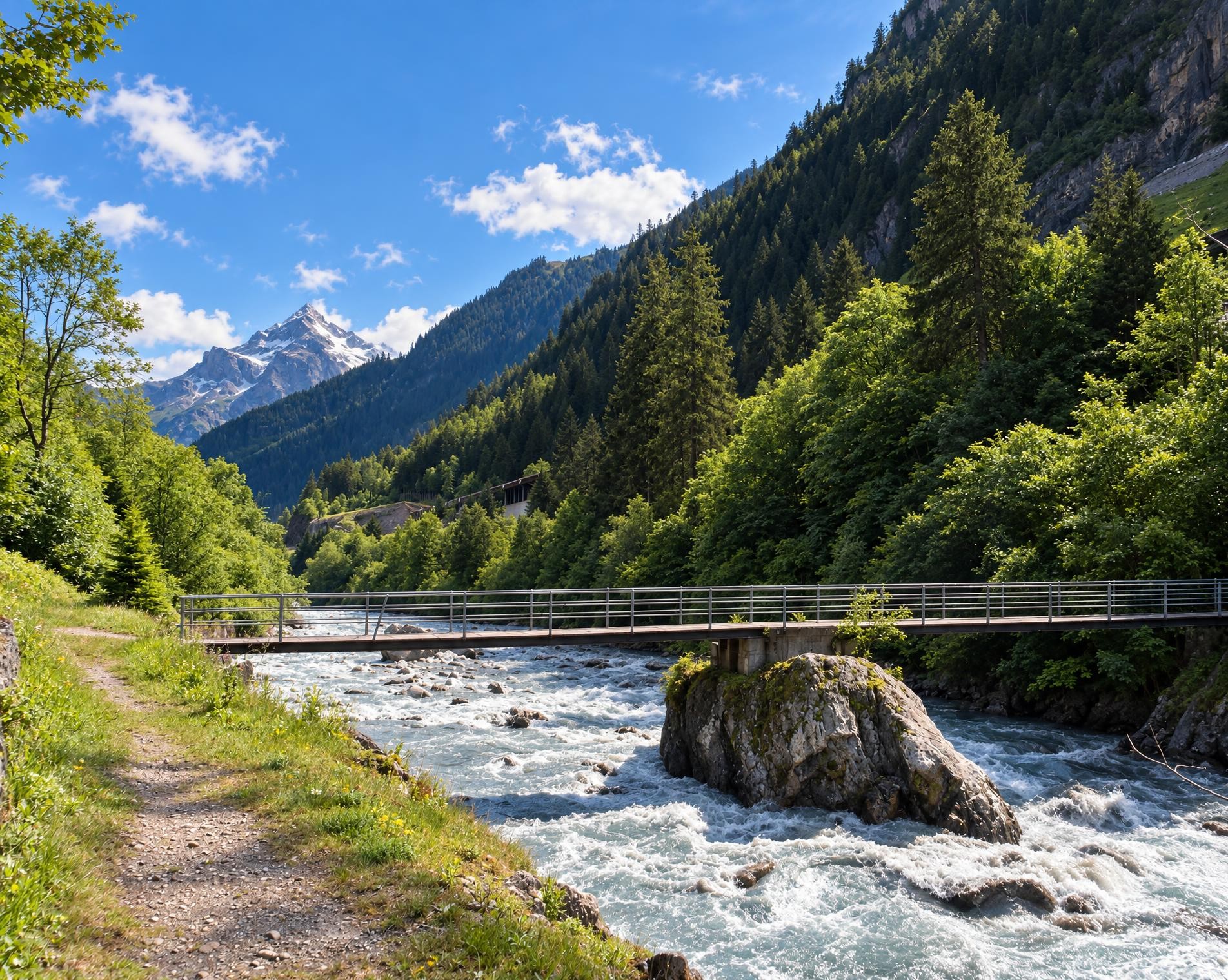
Beyond Amsteg, the trail continues up the valley in a steady succession of ascents and descents, still alternating between open stretches, woodland and small settlements. The Reuss remains a constant companion until shortly before the destination. At Pfaffensprung, the route leads directly along the shore of the small reservoir. The final ascent to Wassen follows. Near the parish church of St. Gallus, the hike reaches its highest point at around 900 m. From here, it is only a few steps to the Wassen, Dorf bus stop.
02/ Along the route
What's along the way
Where the route climbs and where it descends. Hover the profile to find the spot on the map.
03/ Conditions
Current conditions
What to know before you set off. Closures and snow are re-checked every day.
How we check: Every night we match the route against the official closures and detours from the Federal Roads Office (FEDRO). Any reported closure that touches the route shows up here.
How we check: We look up a live public transport connection from your starting point to the stop closest to the trailhead. If it ends further away, the nearest stop may be a cable car or bus that isn't running right now.
How we check: Snow depth estimated daily at the lowest and the highest point of the route. Estimates: check the situation on site.
04/ Getting there
Getting there
From your door to the trailhead and home again, by train and bus or by car. Computed live from the timetable.
Or from
Outbound
Return
05/ Weather
Weather on the way
Forecast for the lowest and the highest point of the route.
Weather
06/ Trail & landscape
Trail & landscape
Which paths you walk on and the landscape they lead through.
07/ Snow
Snow on the route
Snow depths, new snow and forecast. Estimates: check the situation on site before you set off.
Snow Info
Comparative snow depth is only available from November 1 to June 30.
08/ Export
Take the route with you
Load the track onto your GPS device, print a route sheet for the trail or send the route to your hiking group.
Share
Send the link to friends or your hiking group.
Export GPX File
For hiking apps, GPS watches and navigation devices.
Print Route Sheet
A4 with map, elevation profile, waypoints and emergency numbers.